Download
3D Flyover
Add to list
More
22.0 km
~5 hrs 15 min
521 m
Loop
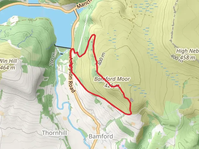
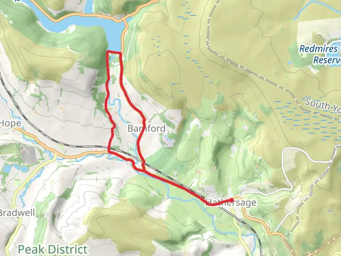
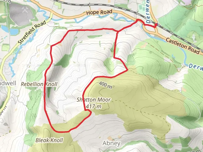
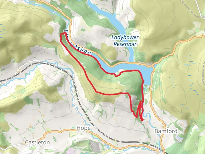
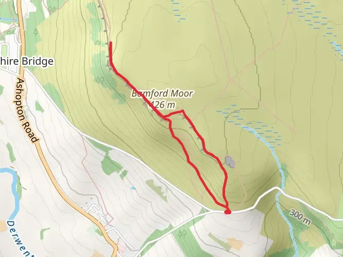
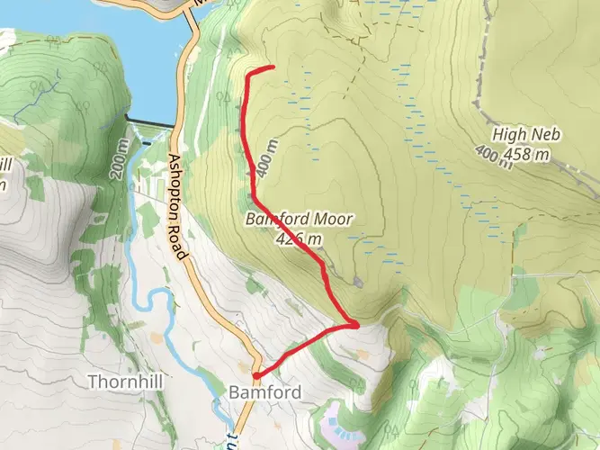
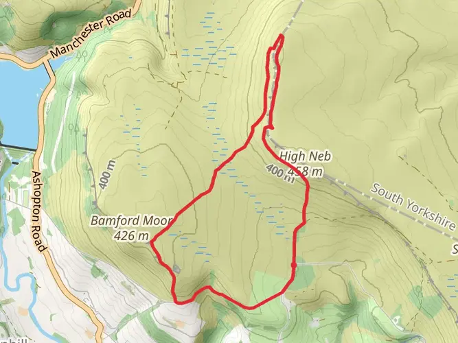
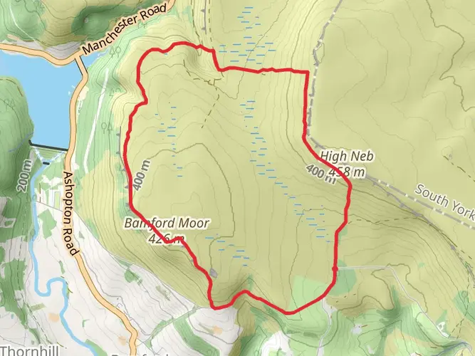
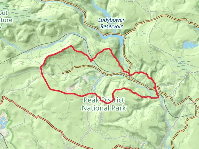
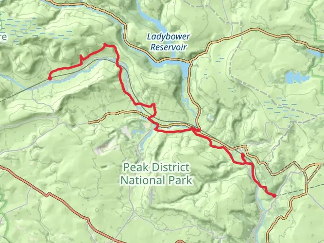
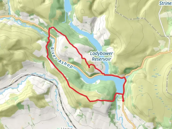
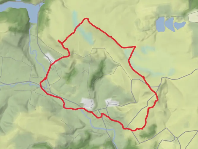
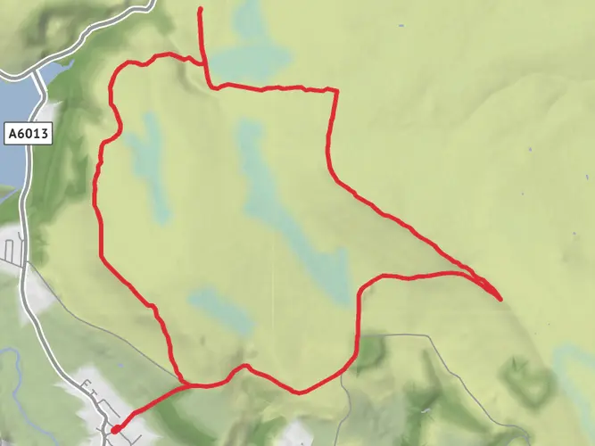
A fantastic Peak District circular starting from Bamford Train Station, taking in the spectacular Bamford Edge before crossing the moors to High Neb, the first of two Ethel summits. The route then loops around via Stanage End and the beautiful Redmires Reservoirs before heading south towards Stanage Pole, the second and final Ethel of the route. From here, the trail returns to Bamford, completing a scenic 13.6-mile circuit with 548m of elevation gain, combining iconic gritstone edges, reservoirs, historic landmarks and stunning Dark Peak views.

AI Planner
Days planned around your pace, with somewhere to stay each night.

Surfaces
Dirt
Gravel
Ground
Unknown
Asphalt
Unpaved
Grass
Comments and Reviews
User comments, reviews and discussions about the Bamford Edge and High Neb Loop, England.
average rating out of 5
0 rating(s)