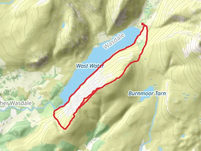
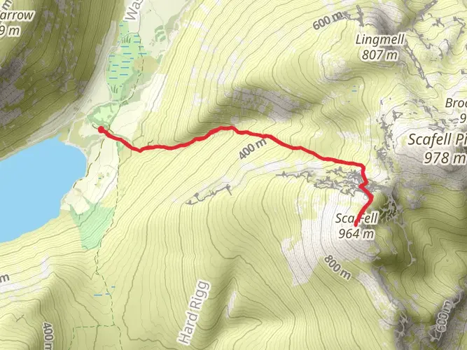
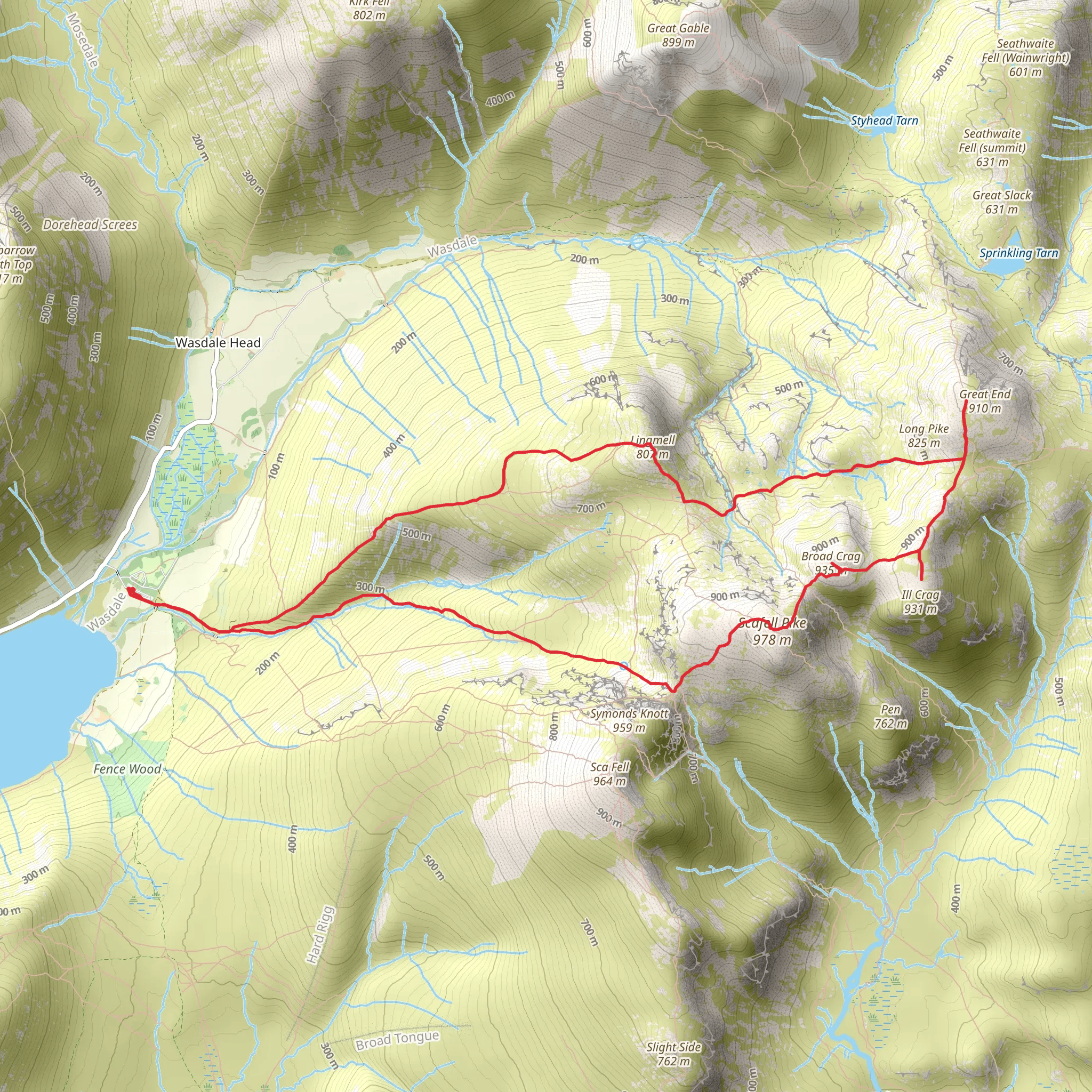
Lingmell, Piers Gill, Middleboot Knotts, Round How, Great End, Blunt Top, lll Crag, Broad Crag, Scaffel Pike and Mickledore Loop
Download
3D Flyover
Add to list
More
12.7 km
~4 hrs 38 min
1261 m
Loop
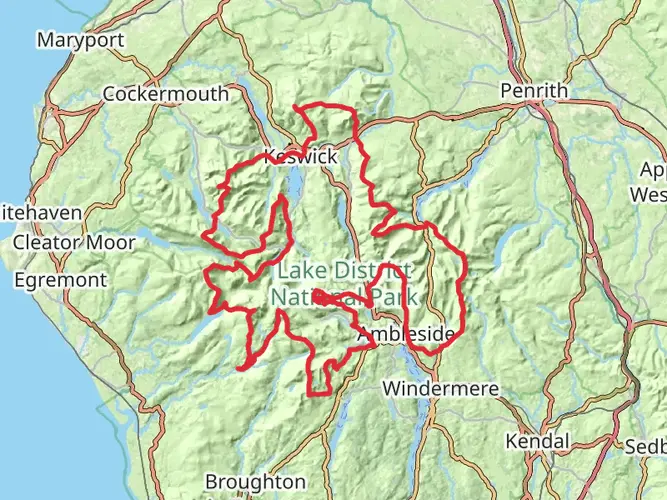
Embark on an adrenaline-pumping adventure at the "Lake District National Park - Feb 17" hiking plan. This hiking expedition is ranked as 'extra difficult', challenging your endurance over a duration of approximately 349 minutes. The trail traverses a diverse terrain, extending over a distance of 15.81 km that guarantees thrill and natural beauty at every step. Expect dramatic shifts in the landscape with an impressive elevation gain of 1600 m and a slightly greater elevation loss of 1622 m. While this is not a multi-day hike, its intensity ensures a full day of intense exploration. Your journey commences and concludes at the serene Lingmell House, located in Seascale, England, offering an immersive experience of the charming British countryside. Brace yourself for an unforgettable exertion amidst majestic peaks and lush valleys, encapsulating the spirit of the Lake District.

What to expect?
Activity types
Surfaces
Unknown
Gravel
Ground
Compacted Gravel
Comments and Reviews
User comments, reviews and discussions about the Lingmell, Piers Gill, Middleboot Knotts, Round How, Great End, Blunt Top, lll Crag, Broad Crag, Scaffel Pike and Mickledore Loop, England.
average rating out of 5
0 rating(s)