Download
3D Flyover
Add to list
More
11.8 km
~4 hrs 13 min
1116 m
Loop
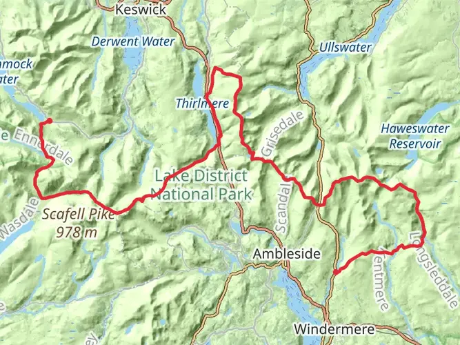
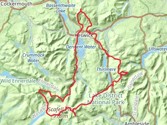
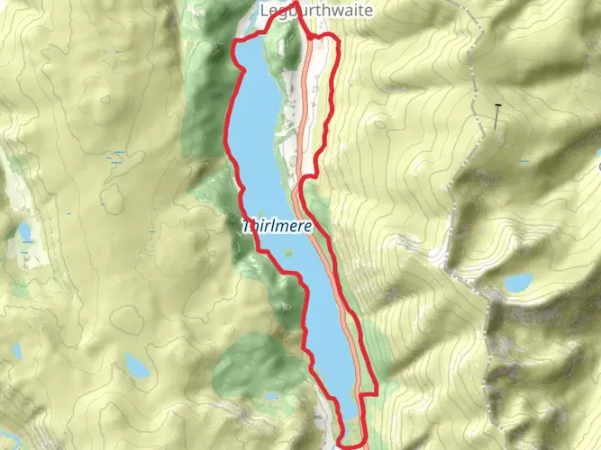
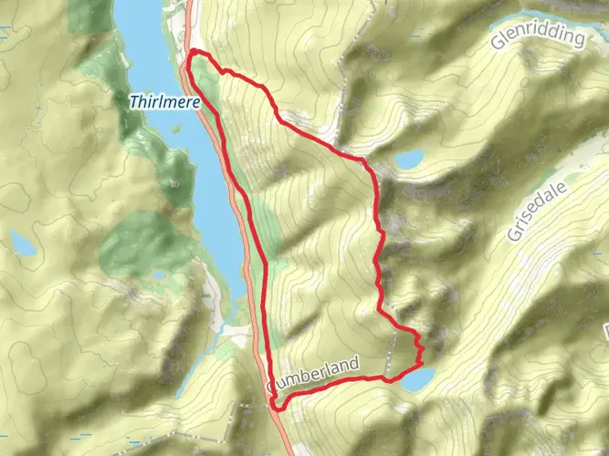
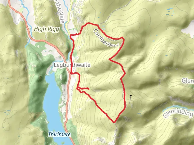
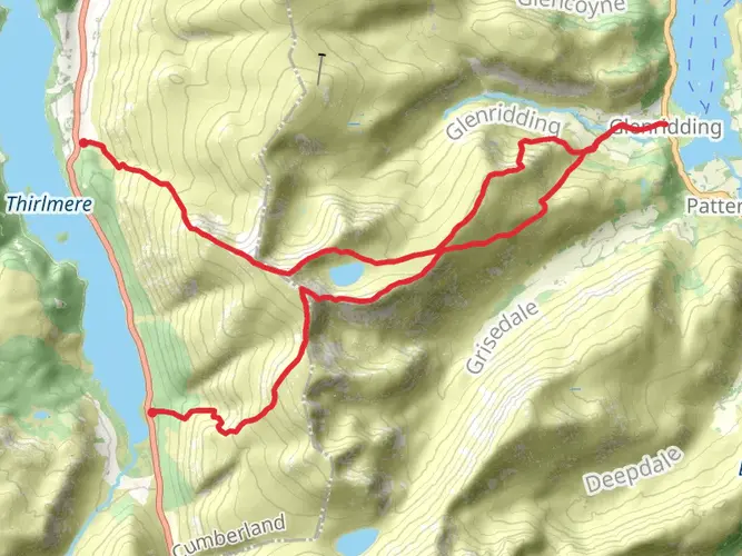
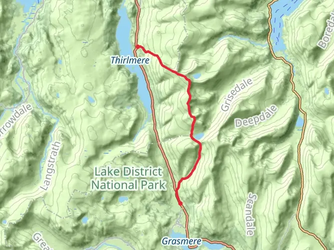
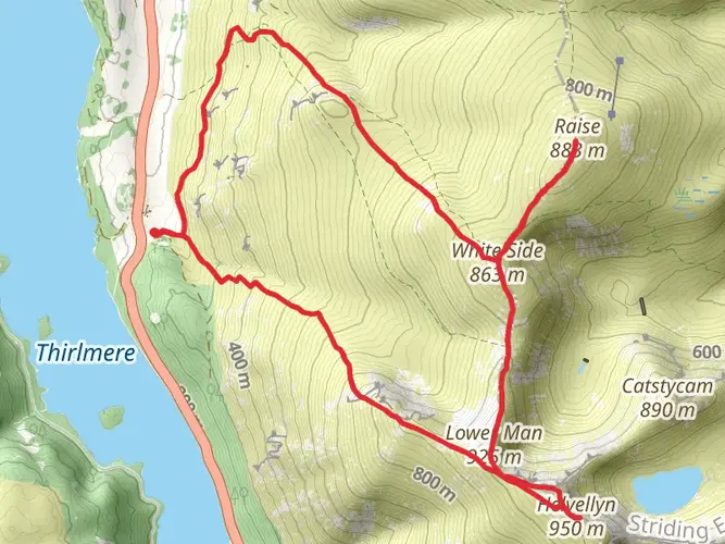
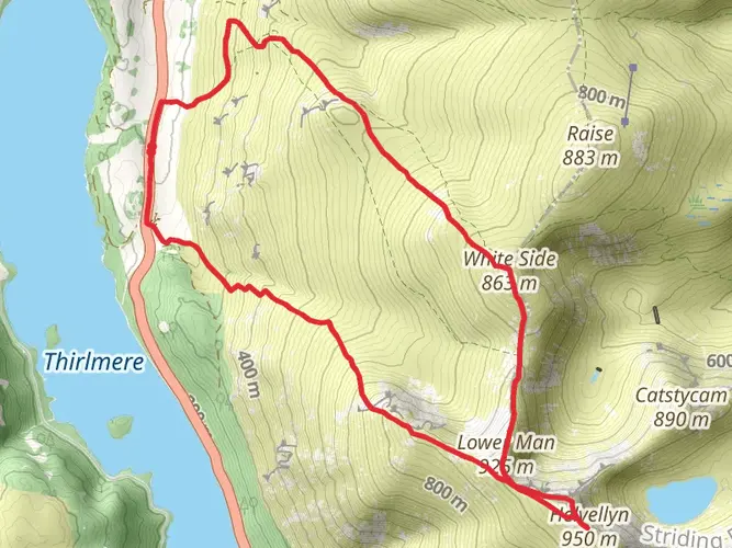
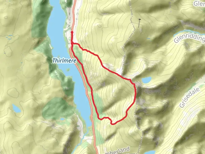
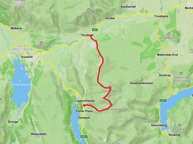
Embark on a rewarding challenge with the "Lake District National Park" hike scheduled for March 15th. This hike is classified as difficult and will test your perseverance, but the breathtaking views are worth the effort. Spanning a distance of 11.80 km, the hike will take approximately 252 minutes to complete. Set in the stunning landscapes of the A591, the trail commences and concludes in Keswick, England. As you traverse the terrain, prepare for a significant elevation gain of 1114 meters and a slightly larger loss of 1146 meters. This single-day expedition doesn't require overnight camping, making it perfect for adventure enthusiasts seeking a day of intense hiking without the commitment of a multi-day journey. Grab your hiking boots and join us for this exhilarating hike, immersing yourself within the spectacular charm of the Lake District National Park.

What to expect?
Surfaces
Unknown
Gravel
Compacted Gravel
Comments and Reviews
User comments, reviews and discussions about the Catsty Cam, England.
5.0
average rating out of 5
1 rating(s)