Download
3D Flyover
Add to list
More
Trail length
11.8 km
Time
~3 hrs 48 min
Elevation Gain
867 m
Hike Type
Point to Point
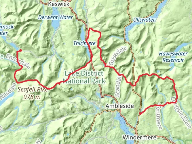
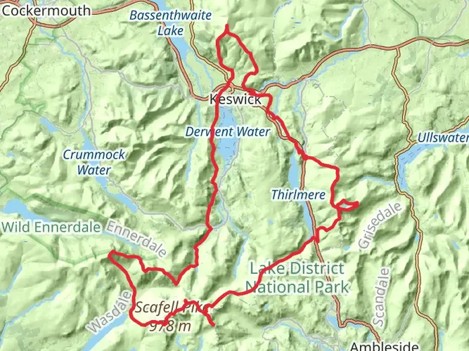
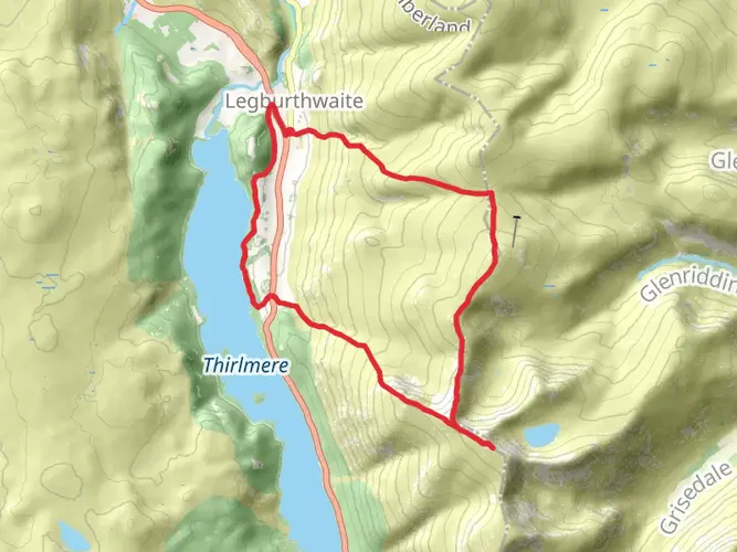
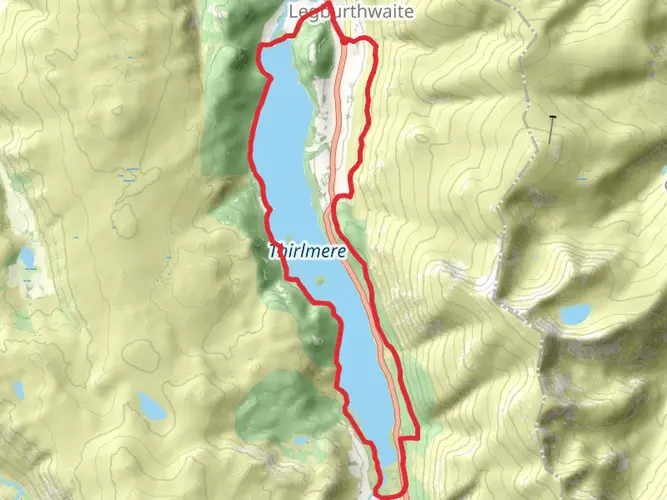
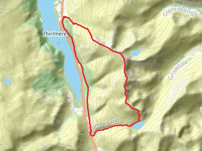
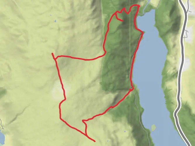
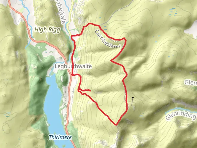
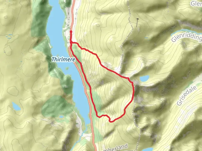
Challenging 7.7‑mile route from Cumberland with steep, sustained climbs and technical sections, gaining about 2,800 feet and losing 2,945 feet. Expect rugged terrain, changing gradients, and exposed stretches with wide views over the Lake District fells. Best for fit, experienced hikers comfortable with long ascents and descents; allow just under 4 hours, plus extra time for breaks and navigation.

Created by
RayzorBlue

What to expect?
Surfaces
Unknown
Grass
Gravel
Comments and Reviews
User comments, reviews and discussions about the Legburthwaite to Threlkeld via the Dodds, England.
5.0
average rating out of 5
1 rating(s)