Download
3D Flyover
Add to list
More
45.3 km
~2 days
2039 m
Out and Back
“Embark on a challenging hike through stunning Sierra Nevada landscapes, rich with history and wildlife.”
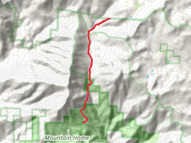
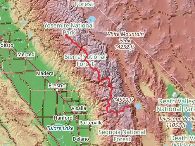
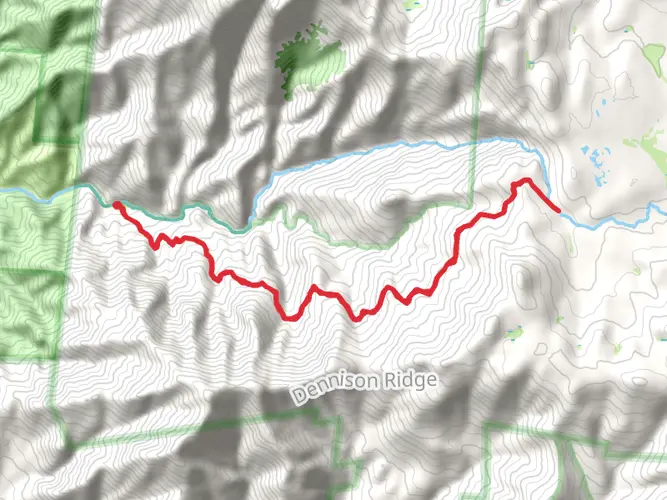
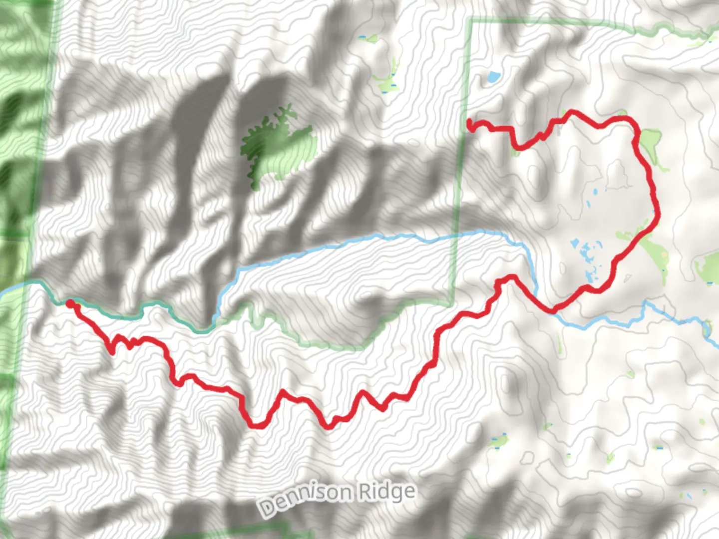
Nestled in the rugged wilderness of Tulare County, California, the Cahoon Rock via Hocket South Fork Kaweah Trail offers an exhilarating adventure for seasoned hikers. This challenging out-and-back trail spans approximately 45 kilometers (about 28 miles) and features an elevation gain of around 2000 meters (approximately 6560 feet), making it a demanding yet rewarding journey through the Sierra Nevada's breathtaking landscapes.
Getting There
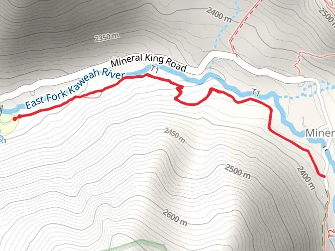
To reach the trailhead, travelers can drive or use public transportation options to Tulare County. If driving, head towards the Mineral King area, which is accessible via Mineral King Road off Highway 198. This road is narrow and winding, so caution is advised. For those relying on public transport, the nearest major hub is Visalia, California. From Visalia, you can arrange a taxi or shuttle service to the trailhead area, though services may be limited, so planning ahead is crucial.
Trail Highlights
Scenic Beauty and Landmarks
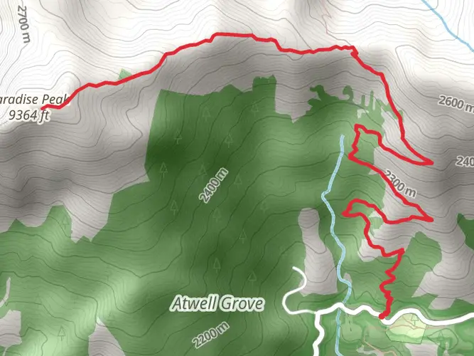
The trail begins near the Mineral King Ranger Station, a historic site that once served as a hub for miners during the late 19th century. As you embark on the trail, you'll be greeted by the lush greenery of the Sequoia National Park, home to some of the world's largest trees. The initial section of the trail meanders through dense forests, offering glimpses of towering sequoias and the vibrant flora that thrives in this region.
As you progress, the trail ascends steadily, providing panoramic views of the surrounding valleys and peaks. Around the 10-kilometer (6-mile) mark, you'll encounter the South Fork Kaweah River, a serene spot perfect for a brief rest. The river's crystal-clear waters are a testament to the pristine nature of this wilderness area.
Wildlife and Nature
The trail is a haven for wildlife enthusiasts. Keep an eye out for black bears, mule deer, and a variety of bird species that inhabit the area. The diverse ecosystem supports a rich array of plant life, including wildflowers that bloom in vibrant colors during the spring and summer months.
Cahoon Rock
The trail's ultimate destination, Cahoon Rock, is a striking granite formation that offers sweeping views of the Sierra Nevada range. Reaching this point involves a challenging ascent, but the reward is well worth the effort. From the summit, you can enjoy unobstructed vistas of the surrounding peaks and valleys, a perfect spot for photography and reflection.
Trail Navigation and Safety
Given the trail's difficulty rating, it's essential to be well-prepared. The path can be steep and rocky in sections, requiring sturdy hiking boots and trekking poles for stability. Weather conditions can change rapidly, so packing layers and rain gear is advisable. Navigation tools like HiiKER are recommended to ensure you stay on course, as the trail can be less defined in certain areas.
Water sources are available along the trail, but it's wise to carry a water filter or purification tablets. Additionally, bear-proof containers are required for food storage to protect both hikers and wildlife.
Historical Significance
The region surrounding the trail is steeped in history. Mineral King was once a bustling mining community in the late 1800s, and remnants of this era can still be found in the area. The trail itself offers a glimpse into the past, with its rugged terrain and untouched landscapes reminiscent of the challenges faced by early explorers and miners.
Embarking on the Cahoon Rock via Hocket South Fork Kaweah Trail is a journey through both natural beauty and historical intrigue, offering a unique opportunity to connect with the wilderness and the stories it holds.

What to expect?
Activity types
Comments and Reviews
User comments, reviews and discussions about the Cahoon Rock via Hocket South Fork Kaweah Trail, California.
average rating out of 5
0 rating(s)