Download
3D Flyover
Add to list
More
17.4 km
2 days
256 m
Multi Day
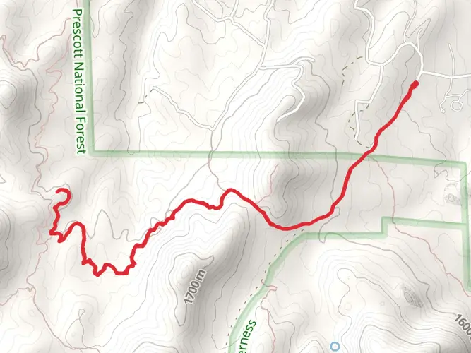
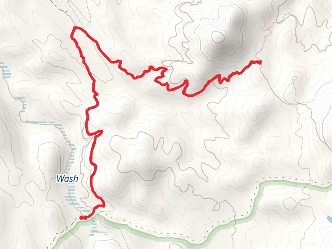
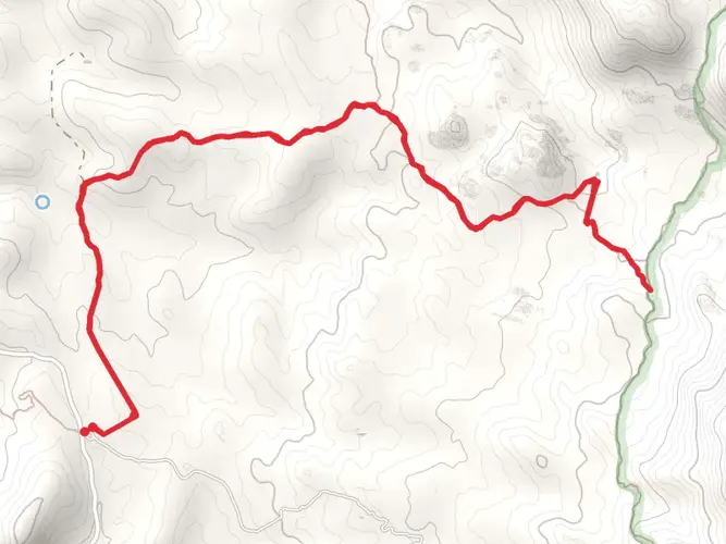
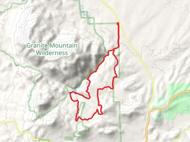
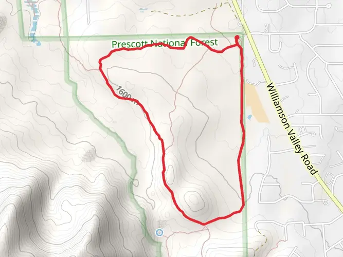
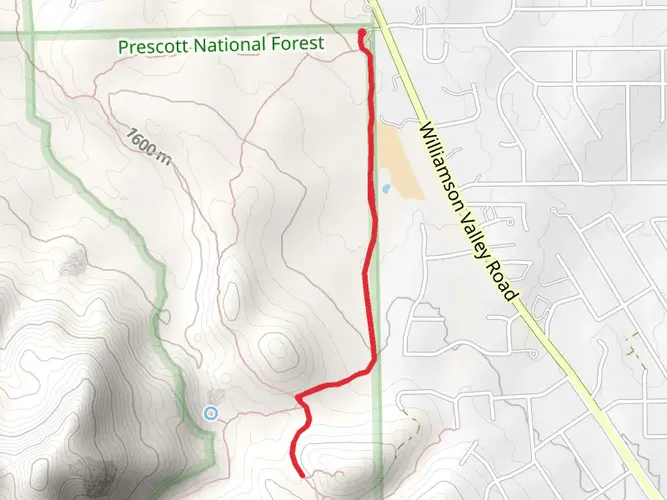
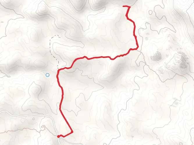
“Explore the scenic 17-km Dennys Trail loop, steeped in history and teeming with Arizona's diverse wildlife and flora.”
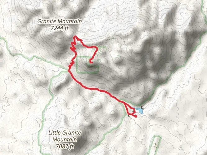
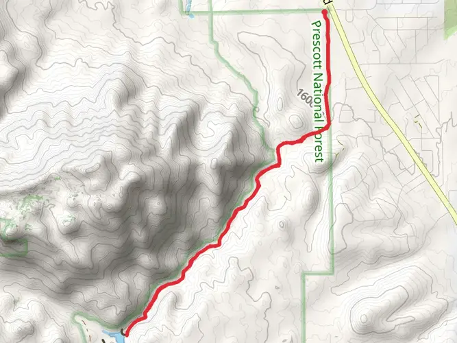
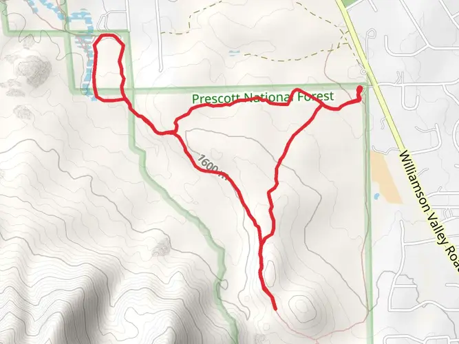
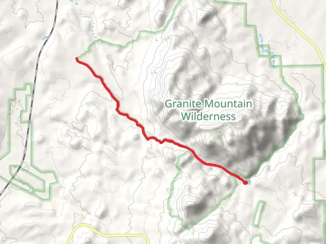
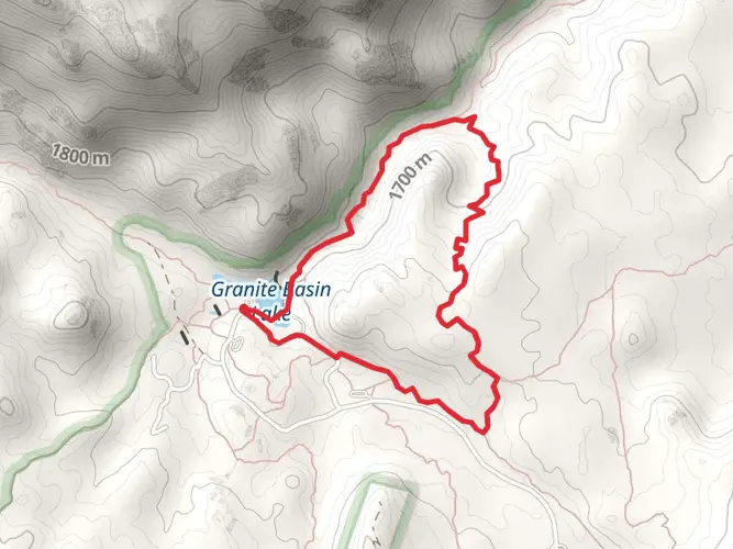
Embarking on the Dennys Trail via Jim N Gayle Trail, hikers will traverse approximately 17 kilometers (about 10.5 miles) of diverse terrain with an elevation gain of around 200 meters (approximately 656 feet). This loop trail, nestled near Yavapai County, Arizona, offers a medium difficulty rating, making it accessible to hikers with some experience.
Getting to the Trailhead
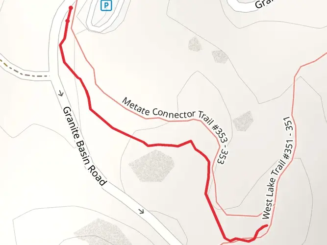
To reach the trailhead, drivers can navigate towards Yavapai County, where parking is available near the starting point. For those opting for public transportation, check local transit schedules for the nearest routes and stops. Once at the trailhead, hikers can use the HiiKER app to ensure they're at the correct location and to help stay on track throughout their hike.
Navigating the Trail
The journey begins with a gentle incline, winding through a landscape dotted with native flora such as cacti and mesquite trees. The trail is well-marked, but hikers should always remain aware of their surroundings and use HiiKER for navigation to avoid any off-trail wandering.
Natural Landmarks and Wildlife
As you progress, the trail offers stunning views of the surrounding mountains and valleys. Keep an eye out for local wildlife, including mule deer, jackrabbits, and a variety of bird species. The area is also home to several reptiles, so be cautious and respectful of their habitat.
Historical Significance
The region holds historical significance, with the land bearing traces of Native American heritage. As you hike, imagine the rich history of those who traversed these lands long before it became a marked trail.
Preparation and Planning
Before setting out, ensure you have adequate water, as the Arizona climate can be unforgiving, especially in the warmer months. Sun protection is also crucial, so bring sunscreen, a hat, and sunglasses. Check the weather forecast in advance and plan accordingly, as conditions can change rapidly in this region.
Trail Etiquette
Remember to follow Leave No Trace principles, keeping the trail as pristine as you found it for future hikers to enjoy. Stay on the designated path, pack out all trash, and be considerate of other trail users.
By preparing properly and respecting the natural and historical significance of the area, hikers can fully enjoy the beauty and challenge of the Dennys Trail via Jim N Gayle Trail.
AI Planner
Days planned around your pace, with somewhere to stay each night.

Comments and Reviews
User comments, reviews and discussions about the Dennys Trail via Jim N Gayle Trail, Arizona.
4.67
average rating out of 5
3 rating(s)