The best hikes in Greenbrier County
West Virginia · 18 HiiKER Hikes
View Hikes on map
What to expect
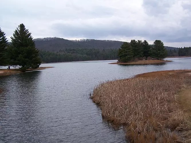
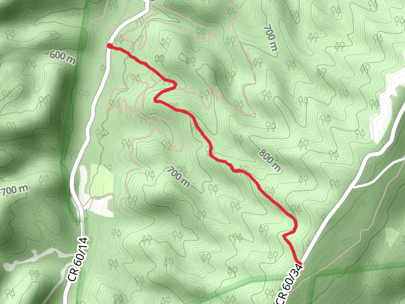
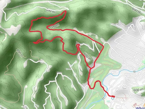
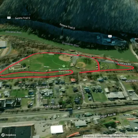
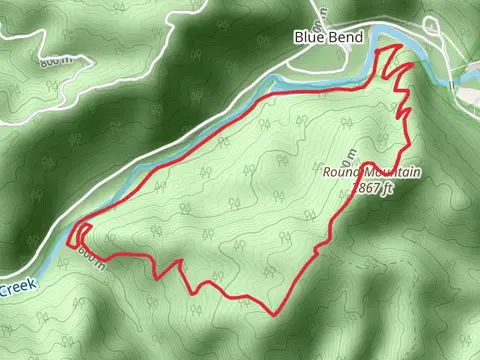
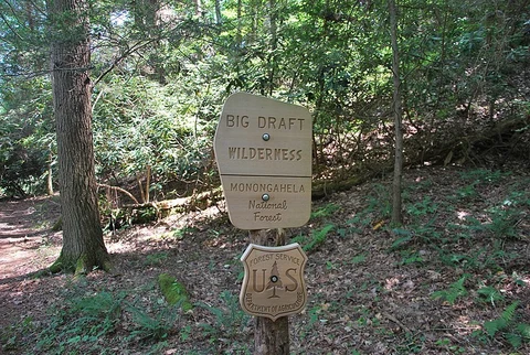
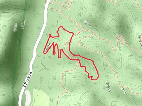
Check out some of the best hiking, walking and backpacking routes in Greenbrier County, West Virginia. The Greenbrier River Trail is the most popular trail. The trails have 3 user reviews with great photos and information. There are trails of various difficulty levels including easy, medium, and difficult. The trail with the highest elevation climb is the Frosty Gap via Eagle Campand Pocahontas Trail and the trail with the least amount of climbing is the Anthony Creek Trail. The longest trail is the Greenbrier River Trail at 129.3 km. For a shorter adventure you can try the Beartown Road 219-11 Loop at 859 m. Get off line access to Town, Water, Campsite, and Peak locations and much more with a Hiiker subscription.

Be prepared for hiking in West Virginia with the HiiKER app