The best hikes in Grays Harbor County
Washington · 40 HiiKER Hikes
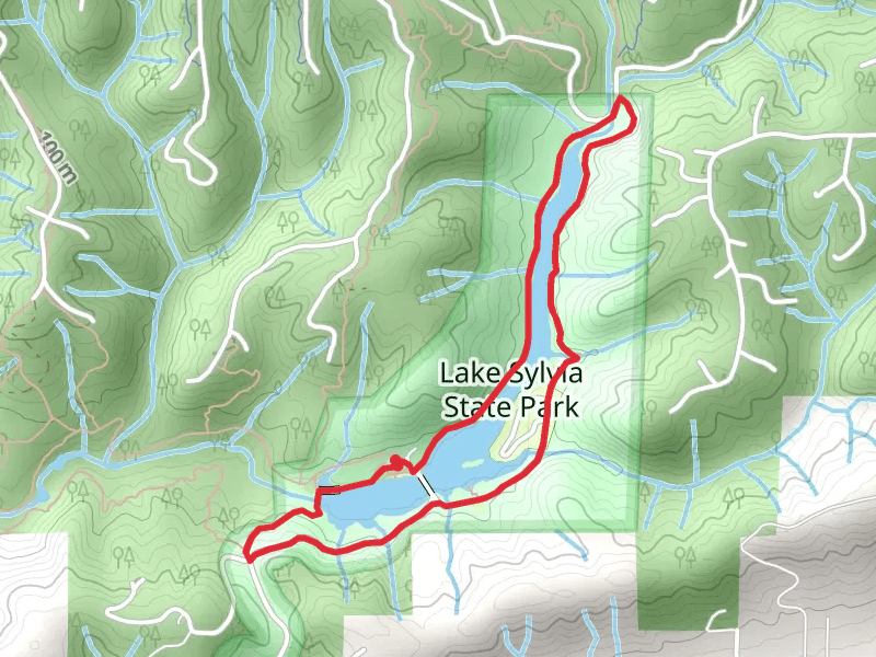
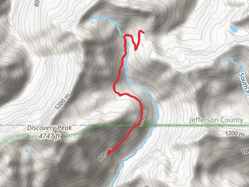
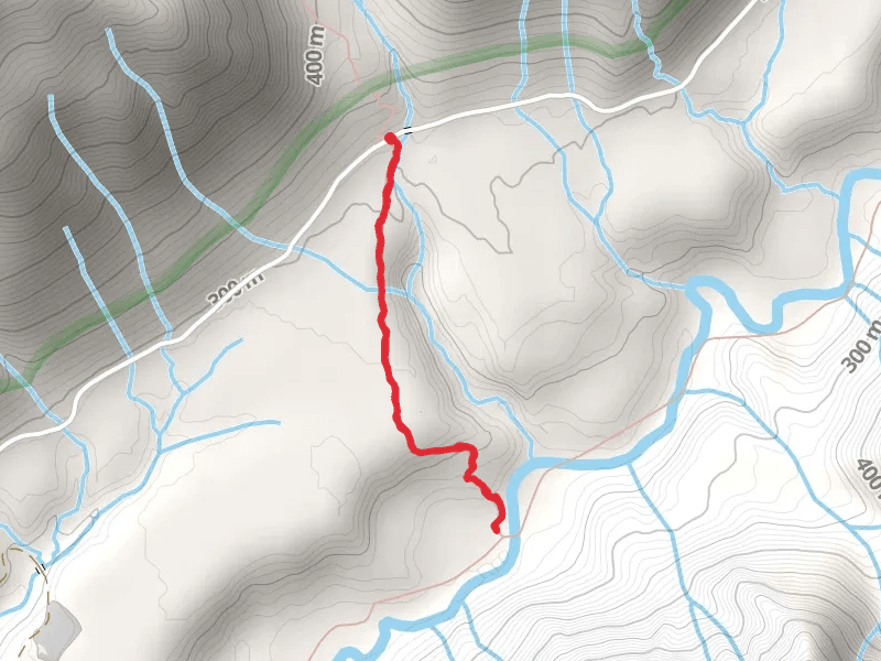
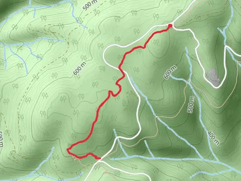
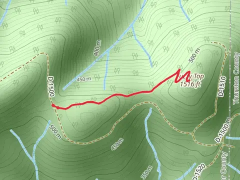
View Hikes on map
What to expect
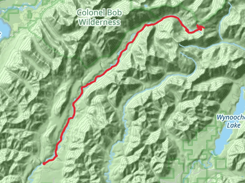
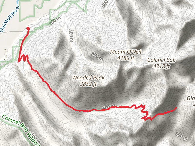
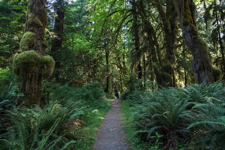
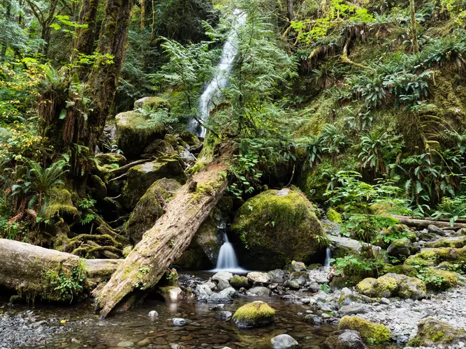
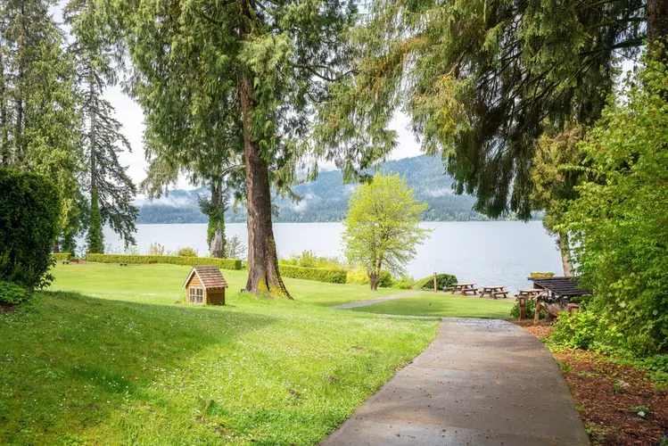
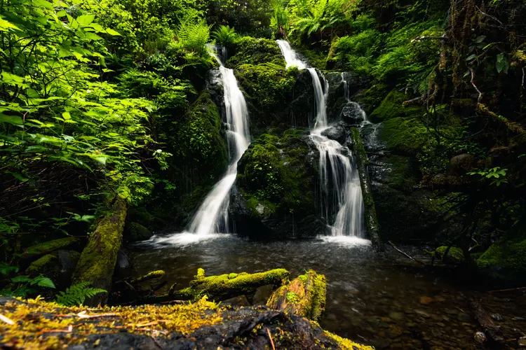
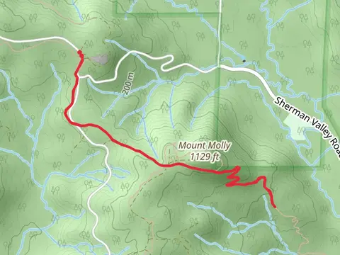
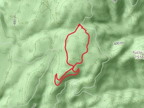
Check out some of the best hiking, walking and backpacking routes in Grays Harbor County, Washington. The West Fork Humptulips Trail is the most popular trail. The trails have 315 user reviews with great photos and information. There are trails of various difficulty levels including easy, medium, difficult, and extra difficult. The trail with the highest elevation climb is the Colonel Bob Summit Trail and the trail with the least amount of climbing is the Lake Quigg Loop. The longest trail is the West Fork Humptulips Trail at 47.9 km. For a shorter adventure you can try the South Shore Road at 724 m. Get off line access to Campsite, Restaurant, Peak, and Water locations and much more with a Hiiker subscription.

Be prepared for hiking in Washington with the HiiKER app