Download
Preview
Add to list
More
4.3 km
~1 hrs 13 min
216 m
Out and Back
“The Brownie Trail offers a scenic 4 km hike with lush forests, historical sites, and panoramic views.”
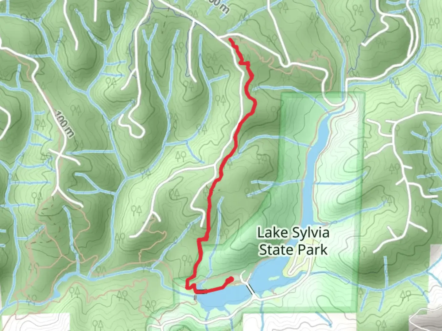
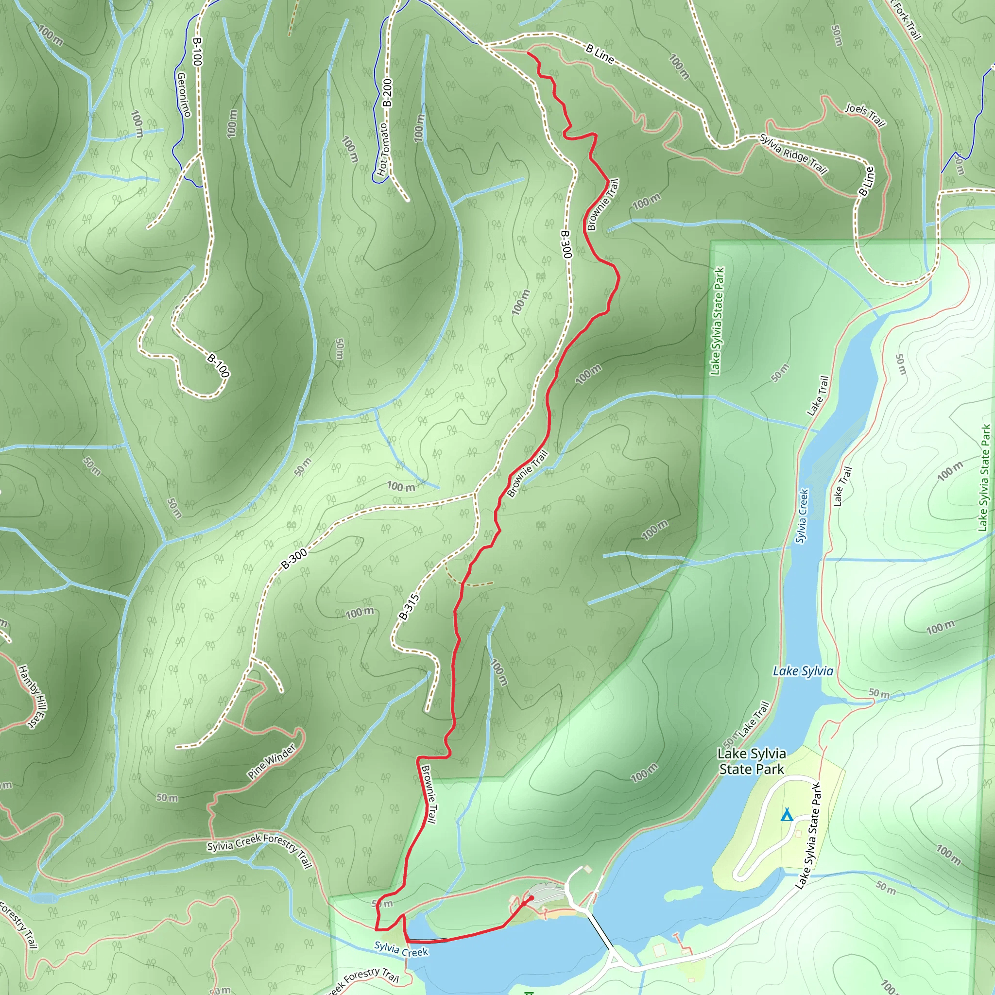
Starting near Grays Harbor County, Washington, the Brownie Trail is an inviting out-and-back hike that spans approximately 4 kilometers (2.5 miles) with an elevation gain of around 200 meters (656 feet). This medium-difficulty trail offers a delightful mix of natural beauty and historical significance, making it a rewarding experience for hikers of various skill levels.
Getting There
To reach the trailhead, you can drive or use public transportation. If driving, head towards Grays Harbor County and look for parking near the trailhead, which is conveniently located close to the town of Montesano. For those using public transport, the nearest bus stop is in Montesano, from where you can either take a short taxi ride or walk to the trailhead.
Trail Overview
The Brownie Trail begins with a gentle ascent through a lush forest of Douglas firs and western hemlocks. The initial 1 kilometer (0.6 miles) is relatively easy, allowing you to acclimate to the surroundings. As you progress, the trail becomes steeper, gaining most of its elevation in the next 1.5 kilometers (0.9 miles). This section can be challenging, so take your time and enjoy the serene forest environment.
Landmarks and Points of Interest
At approximately 2 kilometers (1.2 miles) into the hike, you'll encounter a small, picturesque waterfall. This is a great spot to take a break and enjoy the soothing sounds of cascading water. Continuing on, the trail levels out slightly, leading you to a scenic overlook at around 3 kilometers (1.9 miles). From this vantage point, you can enjoy panoramic views of the surrounding forest and, on clear days, even catch a glimpse of the Olympic Mountains in the distance.
Flora and Fauna
The Brownie Trail is home to a diverse array of plant and animal life. Keep an eye out for native wildflowers such as trillium and bleeding heart, especially in the spring. Birdwatchers will be delighted by the presence of species like the Pacific wren, varied thrush, and even the occasional bald eagle. Deer and other small mammals are also commonly spotted along the trail.
Historical Significance
Grays Harbor County has a rich history, and the Brownie Trail is no exception. The area was historically inhabited by the Quinault Indian Nation, and remnants of their presence can still be found in the region. Additionally, the trail passes through sections of old-growth forest that have stood for centuries, offering a glimpse into the natural history of the Pacific Northwest.
Navigation and Safety
For navigation, it's highly recommended to use the HiiKER app, which provides detailed maps and real-time updates. The trail is well-marked, but having a reliable navigation tool can enhance your hiking experience and ensure you stay on track.
Final Stretch
The final kilometer (0.6 miles) of the trail is a gentle descent back to the trailhead, allowing you to reflect on the journey and enjoy the peaceful forest surroundings. As you make your way back, take a moment to appreciate the natural beauty and historical richness that make the Brownie Trail a unique and memorable hike.
What to expect?
Activity types
Comments and Reviews
User comments, reviews and discussions about the Brownie Trail, Washington.
4.53
average rating out of 5
17 rating(s)
