The best hikes in Grant County
Washington · 29 HiiKER Hikes
View Hikes on map
What to expect
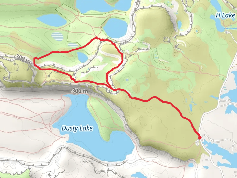
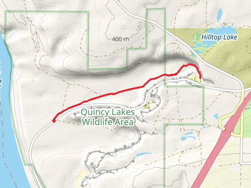
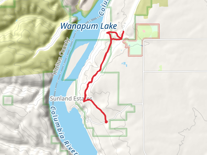
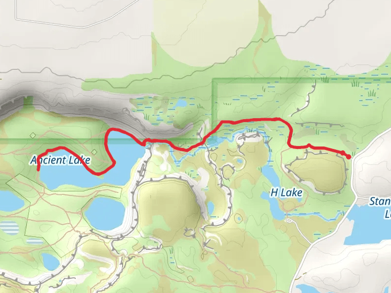
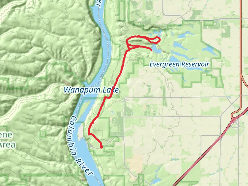
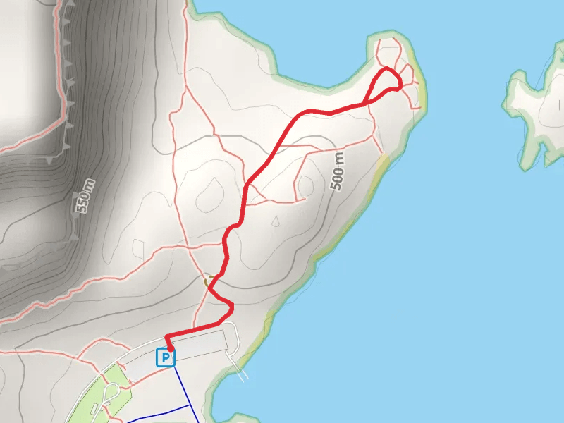
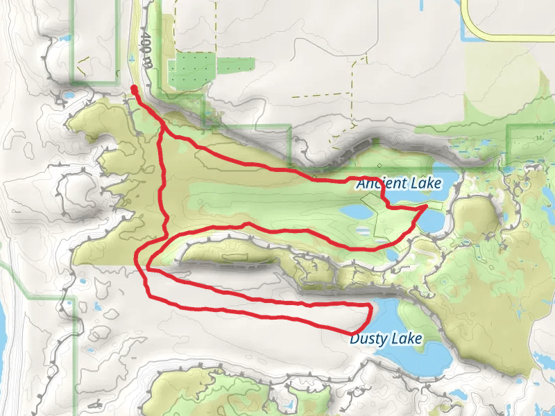
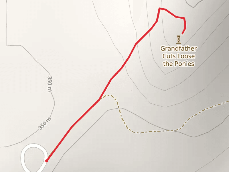
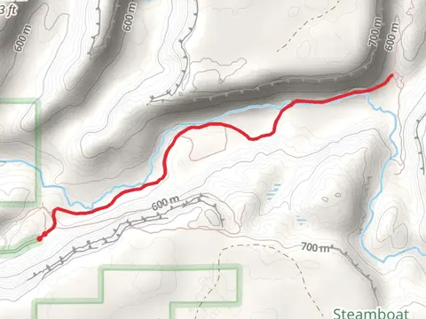
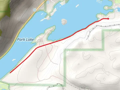
Check out some of the best hiking, walking and backpacking routes in Grant County, Washington. The Vantage Highway is the most popular trail. There are trails of various difficulty levels including easy and medium. The trail with the highest elevation climb is the Beezley Hills Preserve - Monument Hill Trail and the trail with the least amount of climbing is the Royal Branch Canal Wasteway Loop. The longest trail is the Dusty Lake Trail and Highmans Bluff at 33.4 km. For a shorter adventure you can try the Overlook of the Columbia River at 500 m. Get off line access to Shelter, Water, Peak, and Campsite locations and much more with a Hiiker subscription.

Be prepared for hiking in Washington with the HiiKER app