Chepstow to Berwick - upon - Tweed - Great English Walk trail stages
stage 1
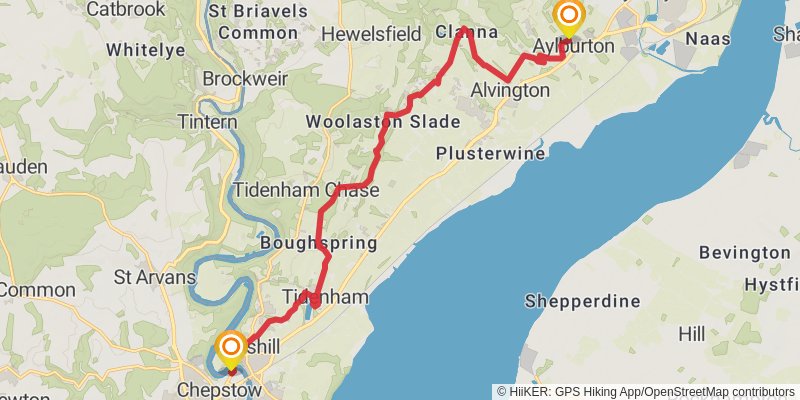
Starting at: Monmouthshire, NP16 5HD
Ending at: Forest of Dean, Gloucestershire, GL15 6EA
Distance: 16.8 km
Elevation gain: 424 m
Duration: 04:03:32
stage 2
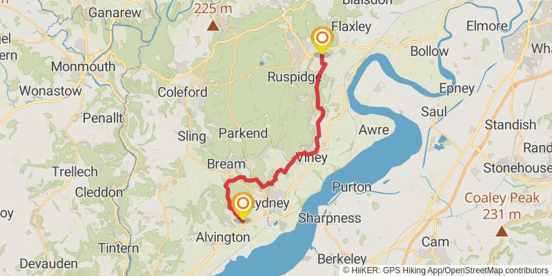
Starting at: Aylburton, Forest of Dean, Gloucestershire, GL15 6EA
Ending at: Forest of Dean, Gloucestershire, GL14 3NN
Distance: 19.3 km
Elevation gain: 545 m
Duration: 04:45:53
stage 3
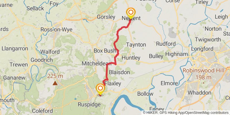
Distance: 17.9 km
Elevation gain: 482 m
Duration: 04:23:06
stage 4

Starting at: Forest of Dean, Gloucestershire, GL18 1AQ
Ending at: Hollybush, Herefordshire, HR8 1ET
Distance: 16.8 km
Elevation gain: 440 m
Duration: 04:05:00
stage 5
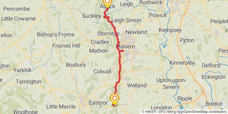
Starting at: Hollybush, Herefordshire, HR8 1ET
Distance: 22.5 km
Elevation gain: 905 m
Duration: 06:00:23
stage 6
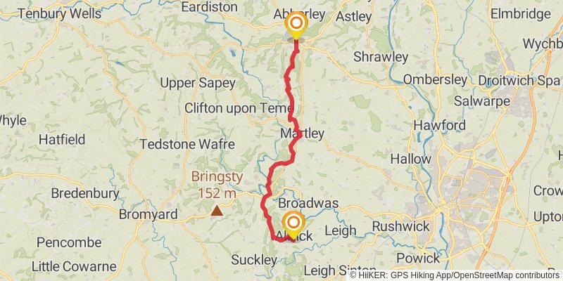
Starting at: Alfrick, Malvern Hills, Worcestershire, WR6 5HH
Distance: 18.5 km
Elevation gain: 518 m
Duration: 04:33:50
stage 7
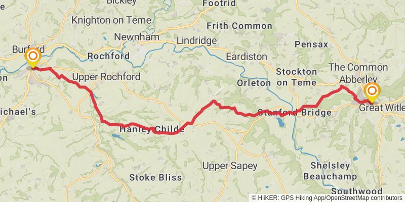
Distance: 20.4 km
Elevation gain: 372 m
Duration: 04:42:09
stage 8
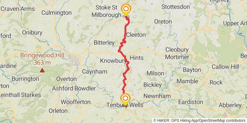
Starting at: Malvern Hills, Worcestershire, WR15 8EQ
Ending at: Wheathill, Shropshire, WV16 6QU
Distance: 18.3 km
Elevation gain: 635 m
Duration: 04:43:09
stage 9
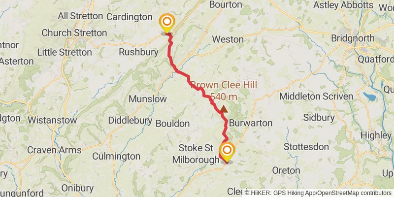
Starting at: Wheathill, Shropshire, WV16 6QU
Ending at: Rushbury, Shropshire, TF13 6DS
Distance: 17.2 km
Elevation gain: 473 m
Duration: 04:14:01
stage 10
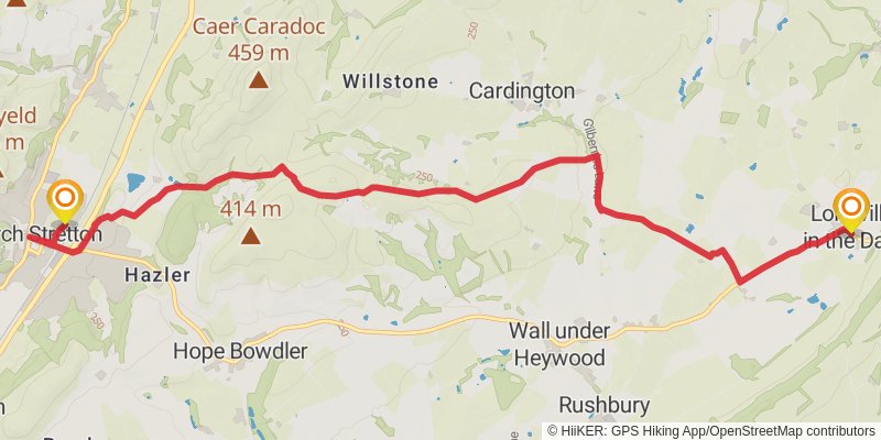
Starting at: Rushbury, Shropshire, TF13 6DS
Ending at: Church Stretton, Shropshire, SY6 6AR
Distance: 11.1 km
Elevation gain: 244 m
Duration: 02:37:13
stage 11
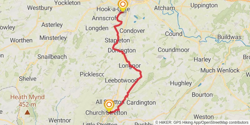
Starting at: Shropshire, SY6 6AR
Ending at: Bayston Hill, Shropshire, SY3 0NL
Distance: 23.0 km
Elevation gain: 442 m
Duration: 05:20:15
stage 12
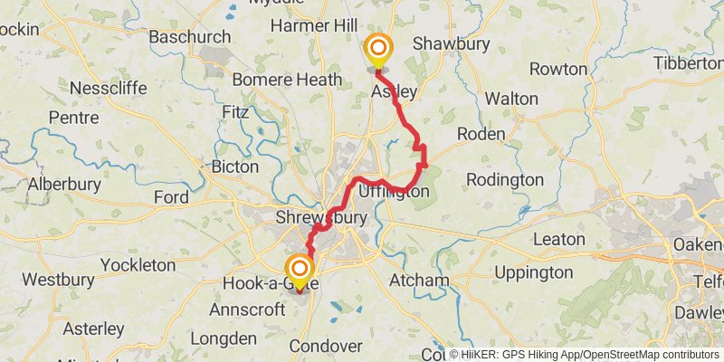
Starting at: Bayston Hill, Shropshire, SY3 0NL
Ending at: Hadnall, Shropshire, SY4 4AZ
Distance: 20.3 km
Elevation gain: 190 m
Duration: 04:22:44
stage 13

Starting at: Hadnall, Shropshire, SY4 4AZ
Ending at: Whitchurch, Shropshire, SY13 3NY
Distance: 22.3 km
Elevation gain: 202 m
Duration: 04:47:49
stage 14
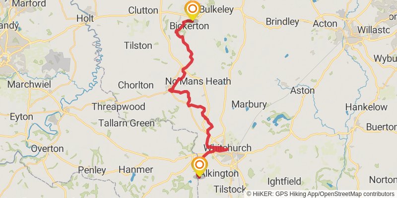
stage 15
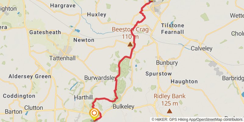
Starting at: Bickerton, Cheshire East, SY14 8AR
Distance: 14.2 km
Elevation gain: 307 m
Duration: 03:20:53
stage 16
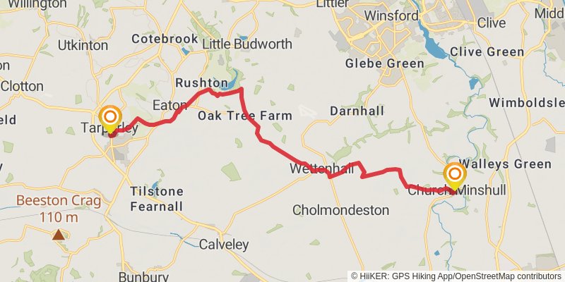
Starting at: Tarporley, Cheshire West and Chester, CW6 0AR
Distance: 15.1 km
Elevation gain: 89 m
Duration: 03:10:09
stage 17

Starting at: Church Minshull, Cheshire East, CW5 6DZ
Ending at: Congleton, Cheshire East, CW12 3AT
Distance: 27.5 km
Elevation gain: 231 m
Duration: 05:53:20
stage 18
stage 19
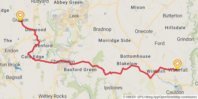
Distance: 22.3 km
Elevation gain: 527 m
Duration: 05:20:27
stage 20

Distance: 12.1 km
Elevation gain: 419 m
Duration: 03:07:41
stage 21
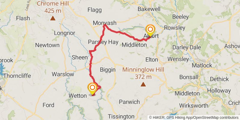
Distance: 22.6 km
Elevation gain: 541 m
Duration: 05:24:59
stage 22

Starting at: Alport, Derbyshire Dales, Derbyshire, DE45 1LG
Distance: 18.8 km
Elevation gain: 505 m
Duration: 04:36:16
stage 23
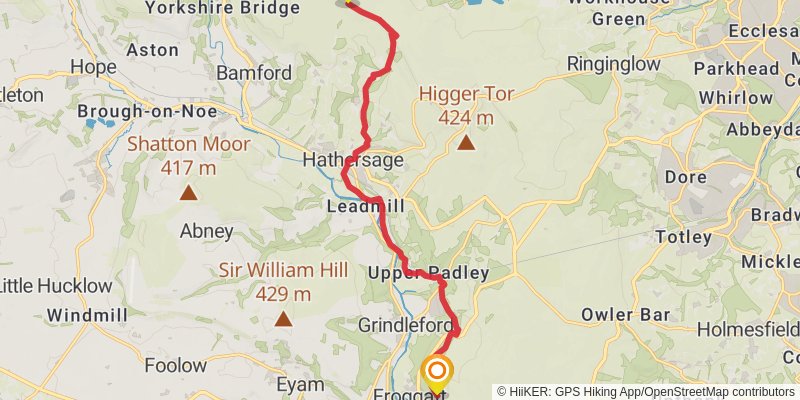
Starting at: Calver Sough, Derbyshire Dales, Derbyshire, S32 3YS
Distance: 12.9 km
Elevation gain: 435 m
Duration: 03:18:21
stage 24
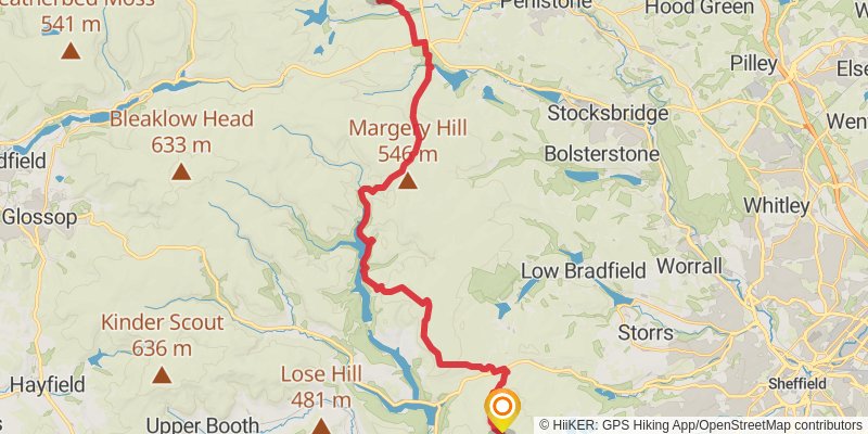
Starting at: Hathersage, Derbyshire Dales, Derbyshire, S32 1DZ
Distance: 29.1 km
Elevation gain: 808 m
Duration: 07:10:03
stage 25
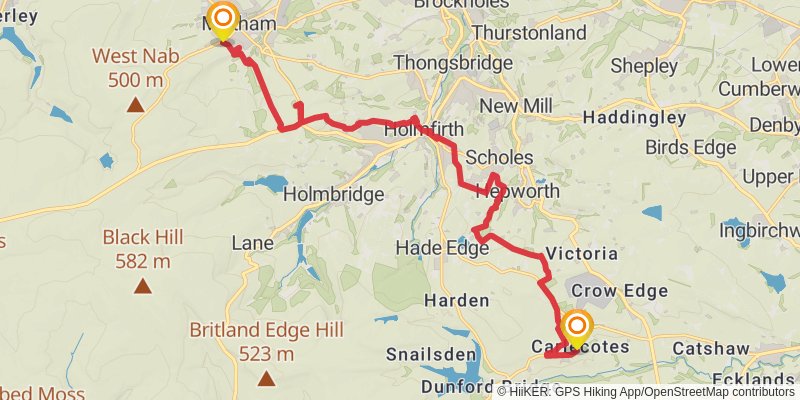
Starting at: Barnsley, S36 4TD
Ending at: Calmlands, Kirklees, Kirklees, HD9 4HR
Distance: 18.2 km
Elevation gain: 425 m
Duration: 04:20:44
stage 26
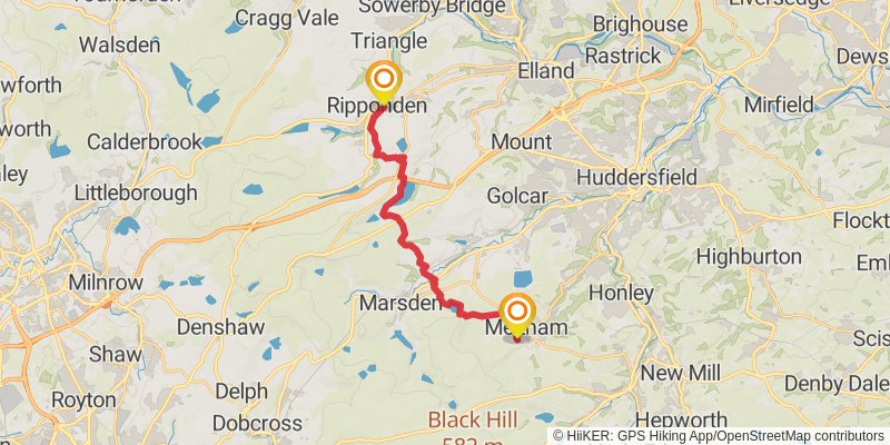
Starting at: Calmlands, Kirklees, Kirklees, HD9 4HR
Distance: 17.7 km
Elevation gain: 580 m
Duration: 04:30:30
stage 27
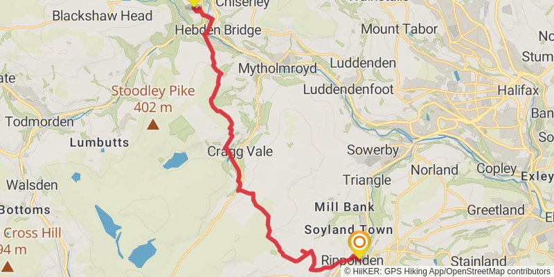
Starting at: Barkisland, Calderdale, Calderdale, HX6 4DR
Ending at: Calderdale, Calderdale, HX7 7LB
Distance: 15.0 km
Elevation gain: 606 m
Duration: 04:00:36
stage 28
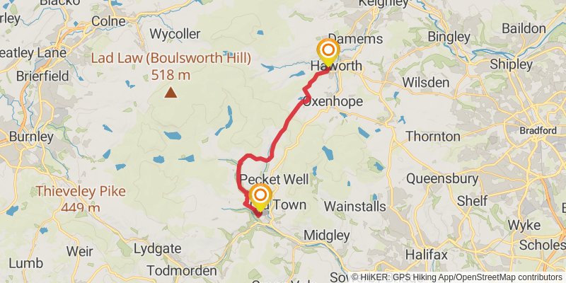
Starting at: Mytholm, Calderdale, Calderdale, HX7 7LX
Ending at: Black Bull, Bradford, Bradford, BD22 8DP
Distance: 15.1 km
Elevation gain: 566 m
Duration: 03:57:24
stage 29
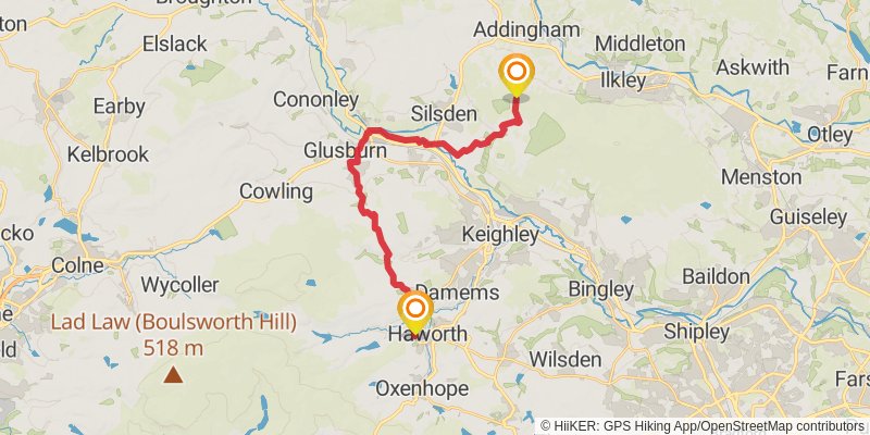
Starting at: Haworth, Bradford, Bradford, BD22 8DP
Ending at: Bradford, Bradford, BD20 0NJ
Distance: 20.1 km
Elevation gain: 611 m
Duration: 05:02:23
stage 30
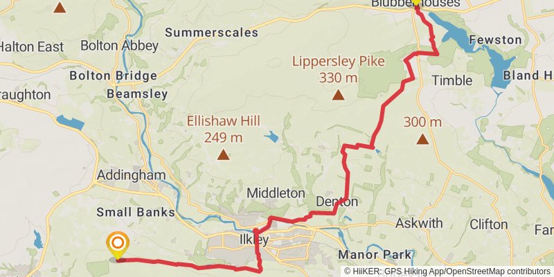
Starting at: Silsden, Bradford, Bradford, LS29 9JX
Distance: 19.5 km
Elevation gain: 332 m
Duration: 04:26:38