Chepstow to Berwick - upon - Tweed - Great English Walk trail stages
stage 31
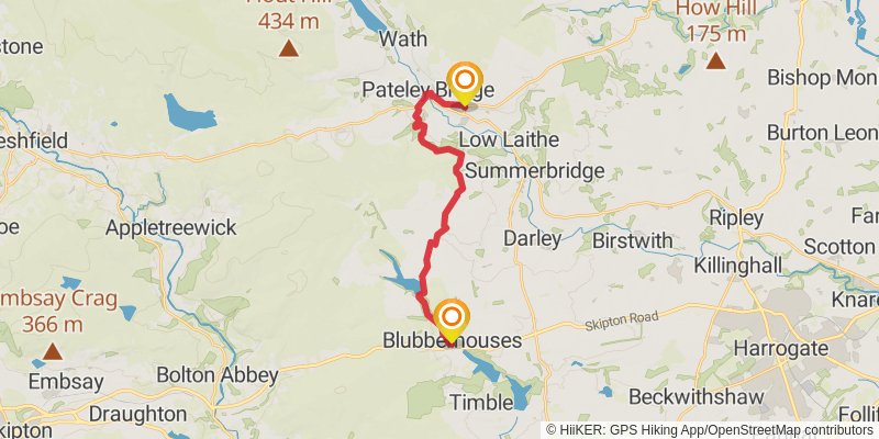
Starting at: Blubberhouses, North Yorkshire, LS21 2NY
Ending at: Glasshouses, North Yorkshire, HG3 5DJ
Distance: 16.5 km
Elevation gain: 499 m
Duration: 04:07:47
stage 32
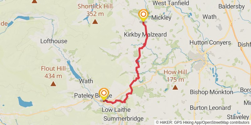
Starting at: Glasshouses, North Yorkshire, HG3 5DJ
Distance: 18.9 km
Elevation gain: 357 m
Duration: 04:22:49
stage 33
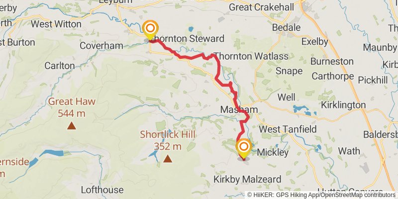
Starting at: Grewelthorpe, North Yorkshire, HG4 3BW
Ending at: East Witton, North Yorkshire, DL8 4SQ
Distance: 20.5 km
Elevation gain: 230 m
Duration: 04:28:50
stage 34
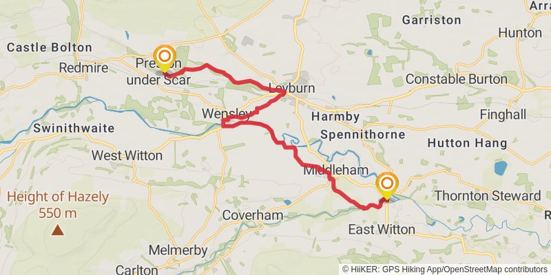
Starting at: East Witton, Richmondshire, North Yorkshire, DL8 4SQ
Distance: 14.3 km
Elevation gain: 279 m
Duration: 03:19:25
stage 35
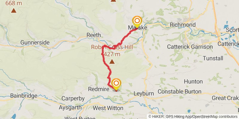
Ending at: Marske, North Yorkshire, DL11 7NB
Distance: 16.6 km
Elevation gain: 453 m
Duration: 04:04:47
stage 36
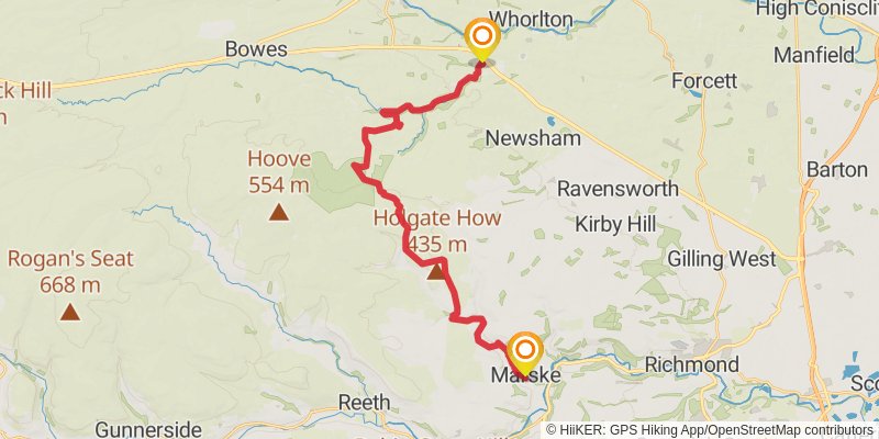
Starting at: Marske, Richmondshire, North Yorkshire, DL11 7NB
Ending at: Greta Bridge, County Durham, DL12 9SD
Distance: 24.7 km
Elevation gain: 517 m
Duration: 05:47:51
stage 37
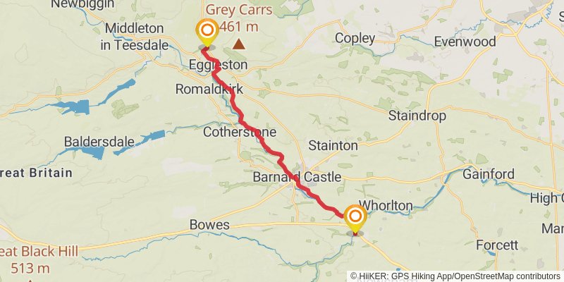
Starting at: Greta Bridge, County Durham, DL12 9SD
Distance: 19.5 km
Elevation gain: 462 m
Duration: 04:39:57
stage 38
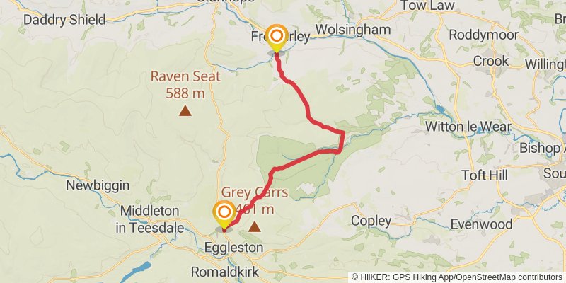
Starting at: Eggleston, County Durham, DL12 0AU
Distance: 18.6 km
Elevation gain: 478 m
Duration: 04:31:02
stage 39
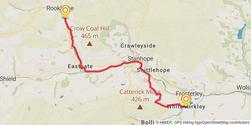
Starting at: Frosterley, County Durham, DL13 2SS
Distance: 15.0 km
Elevation gain: 359 m
Duration: 03:35:45
stage 40
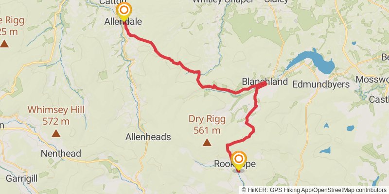
Starting at: Rookhope, County Durham, DL13 2AE
Distance: 28.6 km
Elevation gain: 620 m
Duration: 06:45:19
stage 41
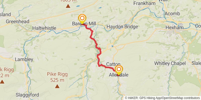
Starting at: Thornley Gate, Northumberland, NE47 9AZ
Distance: 16.1 km
Elevation gain: 353 m
Duration: 03:48:18
stage 42
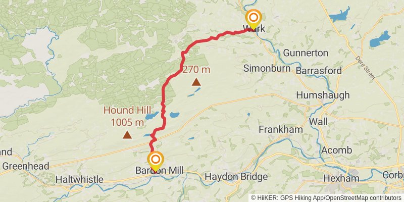
Starting at: Bardon Mill, Northumberland, NE47 7JD
Ending at: Wark, Northumberland, NE48 3LT
Distance: 20.5 km
Elevation gain: 430 m
Duration: 04:49:11
stage 43
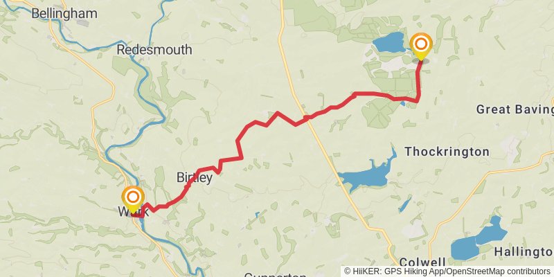
Starting at: Wark, Northumberland, NE48 3LH
Ending at: Northumberland, NE48 4DJ
Distance: 13.6 km
Elevation gain: 266 m
Duration: 03:09:26
stage 44
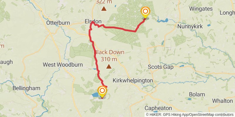
Starting at: Northumberland, NE48 4DJ
Ending at: Redpath, Redpath, Northumberland, NE61 4LG
Distance: 23.4 km
Elevation gain: 464 m
Duration: 05:26:40
stage 45
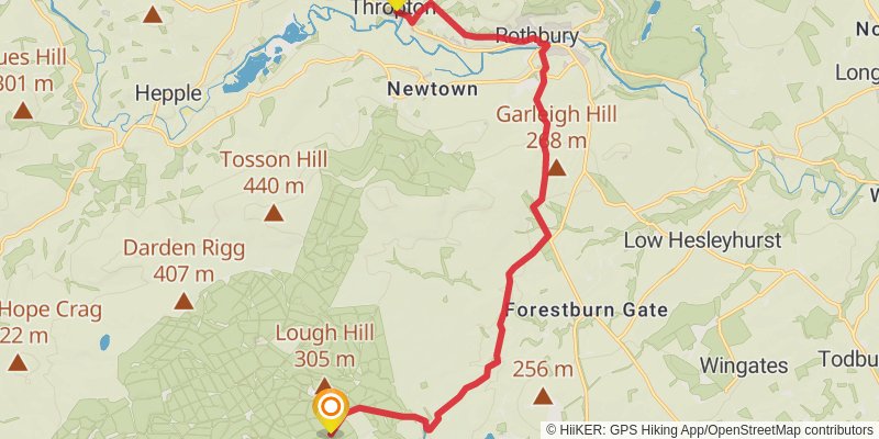
stage 46
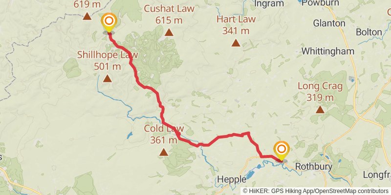
Starting at: Thropton, Northumberland, NE65 7LR
Ending at: Alwinton, Northumberland, NE65 7BU
Distance: 24.8 km
Elevation gain: 653 m
Duration: 06:02:24
stage 47
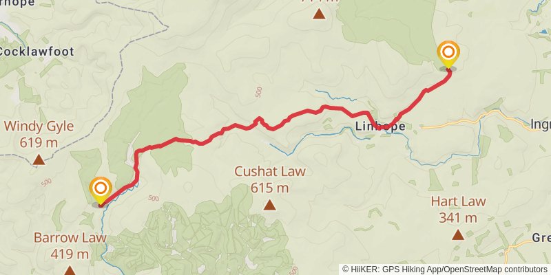
Starting at: Alwinton, Northumberland, NE65 7BU
Ending at: Ingram, Northumberland, NE66 4LY
Distance: 14.7 km
Elevation gain: 447 m
Duration: 03:41:19
stage 48
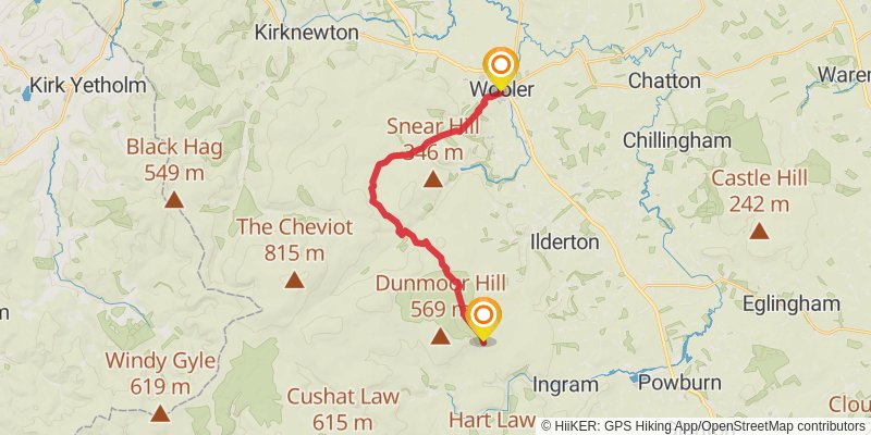
Starting at: Ingram, Northumberland, NE66 4LY
Ending at: Wooler, Northumberland, NE71 6LD
Distance: 16.0 km
Elevation gain: 406 m
Duration: 03:52:30
stage 49
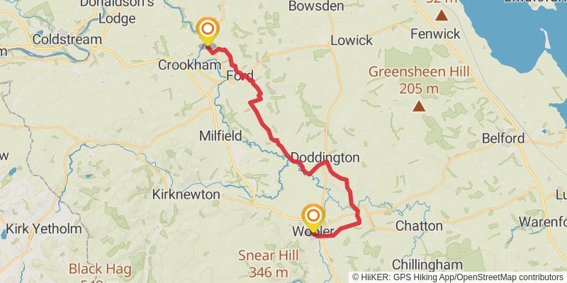
Starting at: Coldmartin Croft, Northumberland, NE71 6LE
Ending at: New Etal, Etal, Northumberland, TD12 4TL
Distance: 22.1 km
Elevation gain: 412 m
Duration: 05:06:26
stage 50
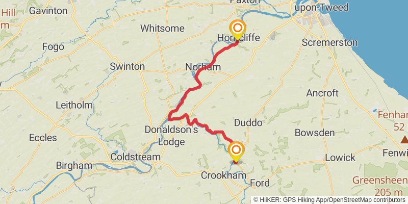
Starting at: Etal, Northumberland, TD12 4TN
Distance: 20.4 km
Elevation gain: 273 m
Duration: 04:31:36
stage 51
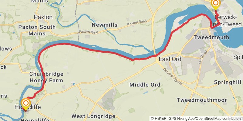
Starting at: Horncliffe, Northumberland, TD15 2XN
Distance: 10.9 km
Elevation gain: 144 m
Duration: 02:25:44