Holyhead to Chepstow Walk trail stages
stage 1
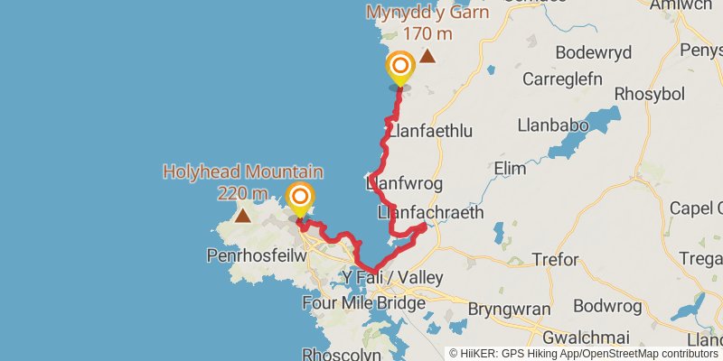
Starting at: Isle of Anglesey, LL65 1BU
Ending at: Isle of Anglesey, LL65 4EU
Distance: 22.8 km
Elevation gain: 252 m
Duration: 04:58:46
stage 2
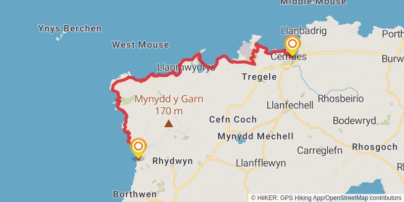
Starting at: Isle of Anglesey, LL65 4EU
Ending at: Cemaes, Isle of Anglesey, LL67 0ES
Distance: 17.2 km
Elevation gain: 378 m
Duration: 04:03:48
stage 3
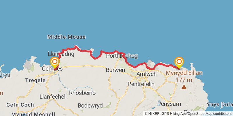
Starting at: Cemaes, Isle of Anglesey, LL67 0ES
Ending at: Amlwch, Isle of Anglesey, LL68 9LU
Distance: 15.5 km
Elevation gain: 496 m
Duration: 03:55:35
stage 4
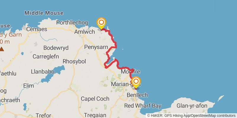
Starting at: Cae Ficer Est, Isle of Anglesey, LL68 9LU
Distance: 20.8 km
Elevation gain: 557 m
Duration: 05:05:42
stage 5

Starting at: Benllech, Isle of Anglesey, LL74 8RU
Ending at: Glan-yr-afon, Isle of Anglesey, LL58 8PF
Distance: 15.3 km
Elevation gain: 417 m
Duration: 03:45:06
stage 6
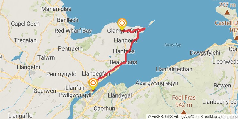
Starting at: Glan-yr-afon, Isle of Anglesey, LL58 8PF
Distance: 18.5 km
Elevation gain: 267 m
Duration: 04:08:56
stage 7
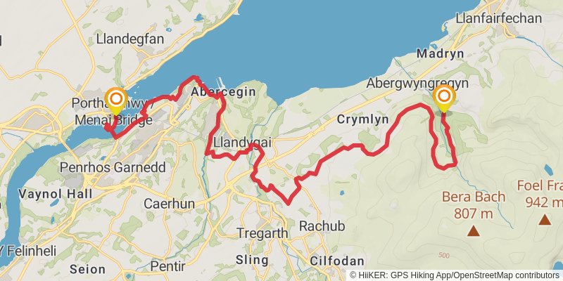
Starting at: Isle of Anglesey, LL59 5DD
Ending at: Abergwyngregyn, Gwynedd, LL33 0LP
Distance: 25.6 km
Elevation gain: 686 m
Duration: 06:15:18
stage 8
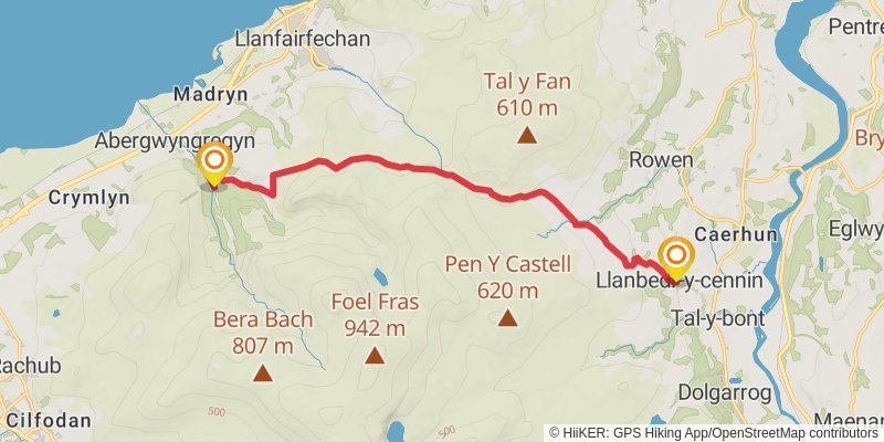
Starting at: Abergwyngregyn, Gwynedd, LL33 0LP
Ending at: Caerhun, Llanbedr-y-cennin, Conwy, LL32 8UU
Distance: 12.2 km
Elevation gain: 414 m
Duration: 03:07:20
stage 9
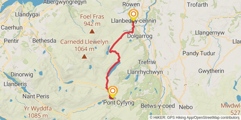
Starting at: Llanbedr-y-cennin, Conwy, LL32 8JD
Ending at: Plas Curig, Capel Curig, Conwy, LL24 0EL
Distance: 17.3 km
Elevation gain: 601 m
Duration: 04:28:15
stage 10
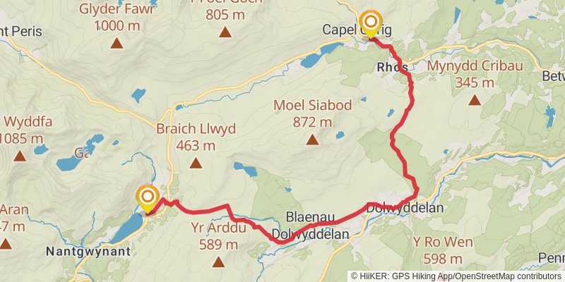
Starting at: Capel Curig, Conwy, LL24 0EL
Ending at: Beddgelert, Gwynedd, LL55 4NP
Distance: 17.3 km
Elevation gain: 558 m
Duration: 04:23:21
stage 11
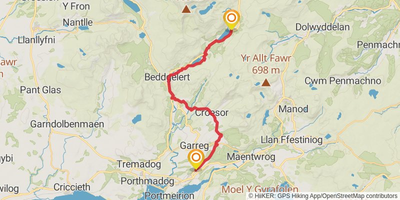
Starting at: Beddgelert, Gwynedd, LL55 4NP
Distance: 22.7 km
Elevation gain: 714 m
Duration: 05:43:43
stage 12
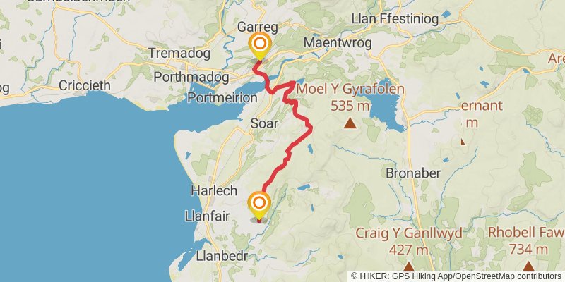
Starting at: Penrhyndeudraeth, Gwynedd, LL48 6ND
Distance: 17.6 km
Elevation gain: 645 m
Duration: 04:35:23
stage 13
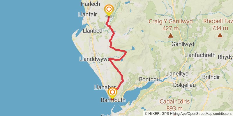
Starting at: Pentre Gwynfryn, Gwynedd, LL45 2PF
Ending at: Frank Lloyd, Barmouth, Gwynedd, LL42 1AN
Distance: 21.7 km
Elevation gain: 794 m
Duration: 05:39:59
stage 14

Starting at: Gwynedd, LL42 1LP
Ending at: Gwynedd, LL40 1TB
Distance: 11.4 km
Elevation gain: 362 m
Duration: 02:52:35
stage 15
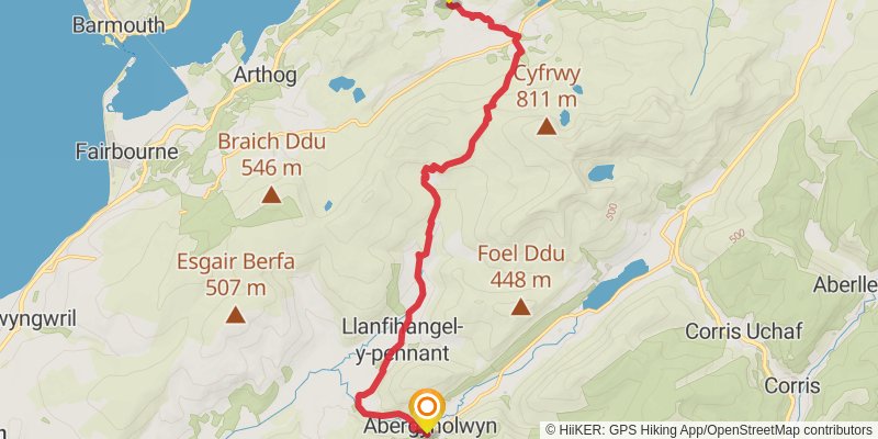
Starting at: Gwynedd, LL40 1TB
Ending at: Abergynolwyn, Gwynedd, LL36 9UT
Distance: 14.5 km
Elevation gain: 636 m
Duration: 03:57:26
stage 16
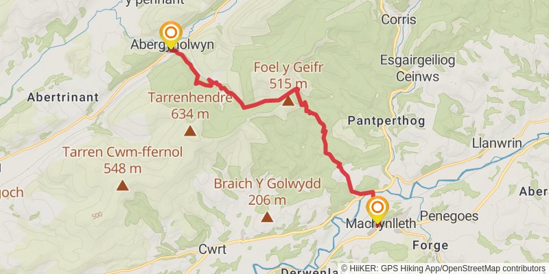
Starting at: Abergynolwyn, Gwynedd, LL36 9YW
Distance: 13.0 km
Elevation gain: 550 m
Duration: 03:31:09
stage 17
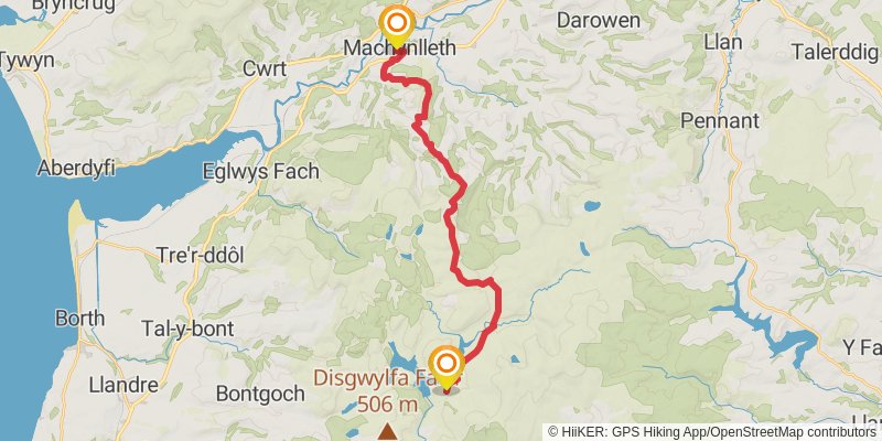
Starting at: Powys, SY20 8DW
Ending at: Ceredigion, SY23 3AG
Distance: 22.1 km
Elevation gain: 894 m
Duration: 05:54:18
stage 18
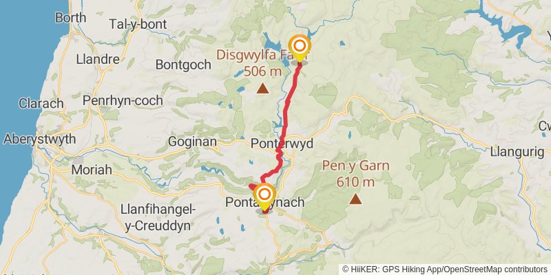
Starting at: Ponterwyd, Ceredigion, SY23 3LJ
Distance: 16.3 km
Elevation gain: 494 m
Duration: 04:04:48
stage 19
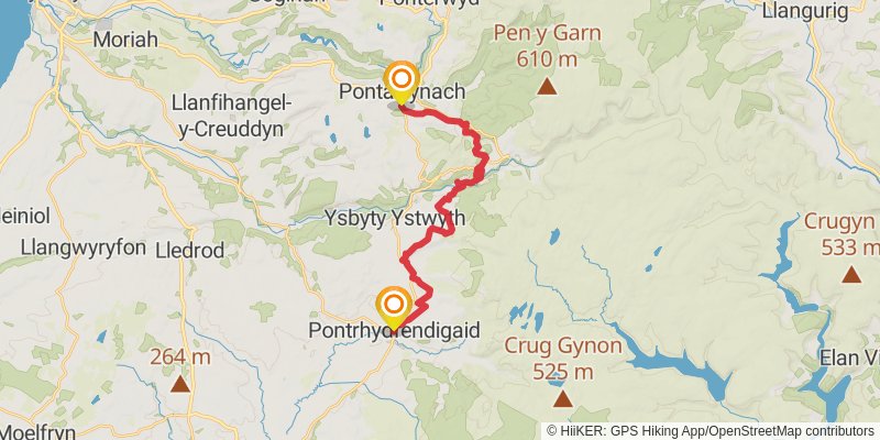
Starting at: Pontarfynach, Ceredigion, SY23 4QZ
Ending at: Pontrhydfendigaid, Ceredigion, SY25 6BB
Distance: 20.2 km
Elevation gain: 692 m
Duration: 05:11:21
stage 20
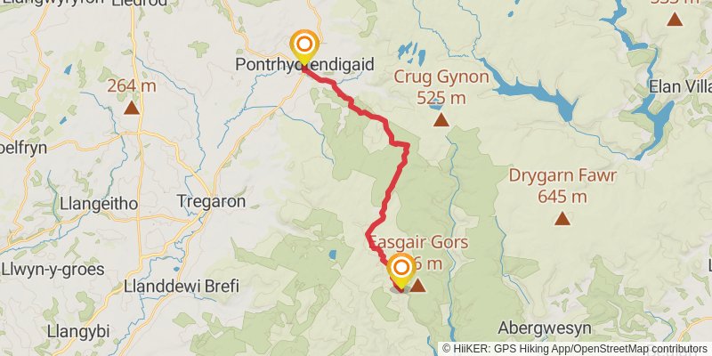
Starting at: Pontrhydfendigaid, Ceredigion, SY25 6BB
Ending at: Ceredigion, SY25 6NP
Distance: 17.8 km
Elevation gain: 491 m
Duration: 04:22:39
stage 21
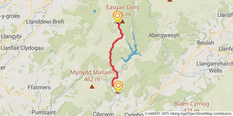
Starting at: Ceredigion, SY25 6NP
Ending at: Rhandirmwyn, Carmarthenshire, SA20 0PA
Distance: 15.4 km
Elevation gain: 365 m
Duration: 03:41:35
stage 22
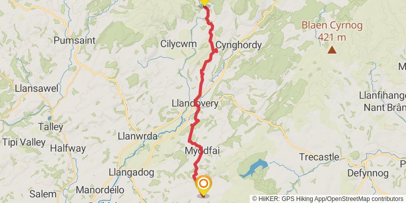
Starting at: Rhandirmwyn, Carmarthenshire, SA20 0PA
Distance: 23.1 km
Elevation gain: 653 m
Duration: 05:42:02
stage 23
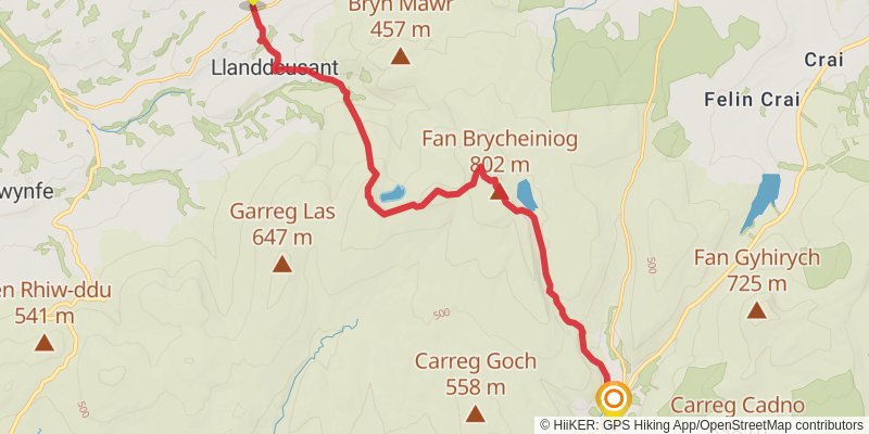
Starting at: Llanddeusant, Carmarthenshire, SA19 9YG
Ending at: Llywel, Powys, SA9 1GR
Distance: 16.5 km
Elevation gain: 783 m
Duration: 04:36:09
stage 24
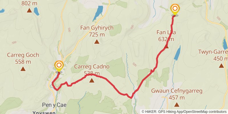
Starting at: Llywel, Powys, SA9 1GR
Ending at: Powys, LD3 8RP
Distance: 18.3 km
Elevation gain: 745 m
Duration: 04:53:45
stage 25
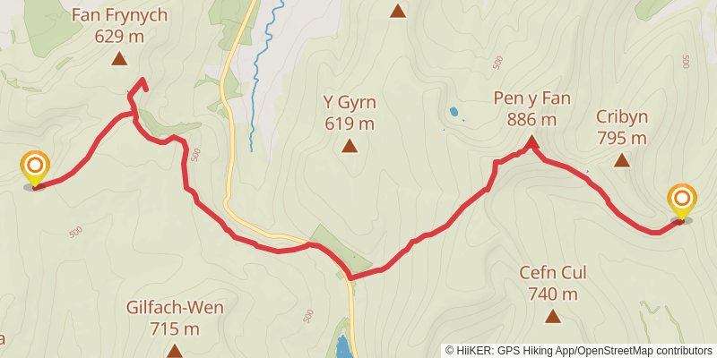
stage 26
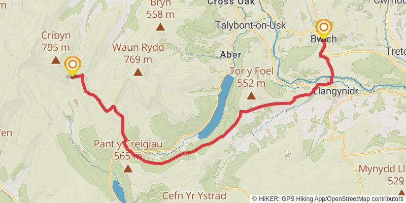
Starting at: Powys, LD3 8LL
Ending at: Bwlch, Powys, LD3 7RZ
Distance: 19.2 km
Elevation gain: 521 m
Duration: 04:42:22
stage 27
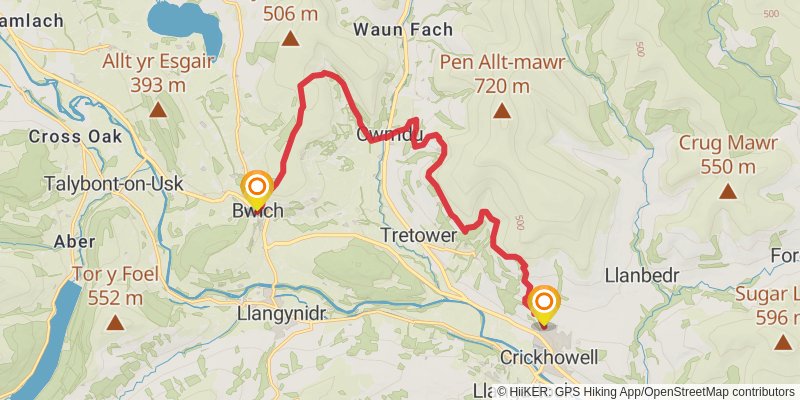
Starting at: Bwlch, Powys, LD3 7HX
Ending at: Crickhowell, Powys, NP8 1SE
Distance: 15.9 km
Elevation gain: 632 m
Duration: 04:14:11
stage 28
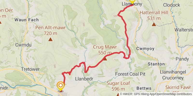
Starting at: Powys, NP8 1SE
Ending at: Treats Bunkhouse, Monmouthshire, NP7 7NN
Distance: 19.2 km
Elevation gain: 1051 m
Duration: 05:35:27
stage 29
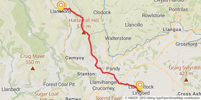
Starting at: Monmouthshire, NP7 7NN
Ending at: Llangattock Lingoed, Monmouthshire, NP7 8RR
Distance: 13.5 km
Elevation gain: 467 m
Duration: 03:29:12
stage 30
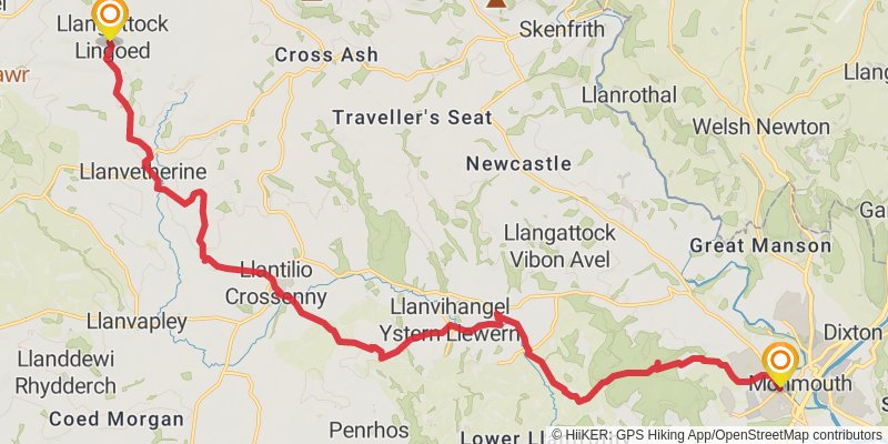
Starting at: Llangattock Lingoed, Monmouthshire, NP7 8RR
Distance: 22.5 km
Elevation gain: 357 m
Duration: 05:06:15