Download
3D Flyover
Add to list
More
566.2 km
~24 days
18288 m
Multi-Day
“Embark on a scenic 352-mile trek through Wales' historical and natural splendors, from Holyhead to Chepstow.”
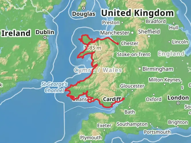
Spanning approximately 566 kilometers (about 352 miles) with an elevation gain of around 18,200 meters (approximately 59,711 feet), the Holyhead to Chepstow Walk is a remarkable journey that traverses the diverse landscapes of Wales. This point-to-point trail begins near the Isle of Anglesey, a historic island known for its ancient sites and coastal beauty, and concludes in the market town of Chepstow, located on the border of England and Wales.
Getting to the Trailhead
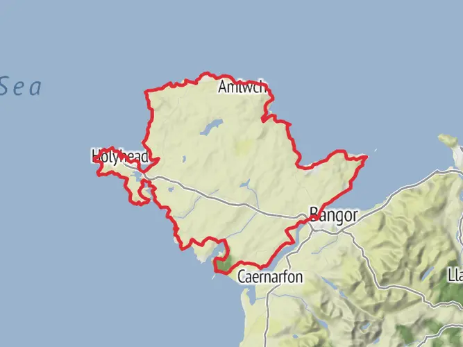
To reach the starting point of the trail near the Isle of Anglesey, hikers can use public transport or drive. The nearest significant landmark is the Holyhead Railway Station, which is well-connected to the rest of the UK. For those driving, there are parking facilities available in the vicinity of the trailhead.
Navigating the Trail
The trail is well-marked, but hikers should always carry a reliable navigation tool. HiiKER is an excellent resource for trail maps and navigation, ensuring you stay on the right path throughout your journey.
Landmarks and Scenery
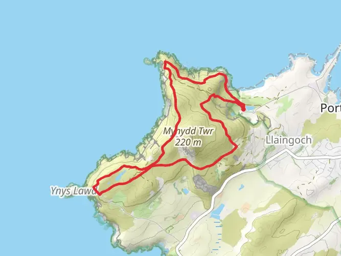
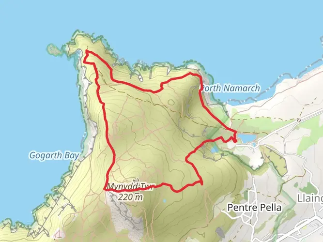
As you embark on this adventure, you'll encounter a variety of landscapes, including rugged coastlines, rolling hills, and picturesque valleys. Notable landmarks include the South Stack Lighthouse on Anglesey, the historic town of Conwy with its impressive castle, and the majestic Snowdonia National Park, where you'll traverse the foothills of Mount Snowdon, the highest peak in Wales.
Wildlife and Nature
The trail offers ample opportunities to observe local wildlife, such as seabirds along the coastal cliffs, wild ponies in the moorlands, and a plethora of flora, including the rare Welsh poppy. The diversity of ecosystems ensures a rich experience for nature enthusiasts.
Historical Significance
Wales is steeped in history, and this trail is no exception. You'll pass through ancient Roman sites, medieval castles, and remnants of the industrial revolution. The trail itself is a testament to the country's past, often following historical routes used by pilgrims and traders.
Preparation and Planning
Given the trail's length and varied terrain, hikers should prepare adequately. Ensure you have suitable gear for all weather conditions, as Wales is known for its unpredictable climate. Plan your itinerary with consideration for your fitness level and pace, and be sure to book accommodations in advance, especially during peak seasons.
Conclusion
The Holyhead to Chepstow Walk is a journey through the heart of Wales, offering a unique blend of natural beauty, wildlife, and historical intrigue. With careful planning and a spirit of adventure, hikers will find this trail to be a rewarding experience that encapsulates the essence of Welsh heritage and landscapes.

What to expect?
Activity types
Comments and Reviews
User comments, reviews and discussions about the Holyhead to Chepstow Walk, Wales.
4.51
average rating out of 5
51 rating(s)