Wales Coast Path trail stages
stage 1
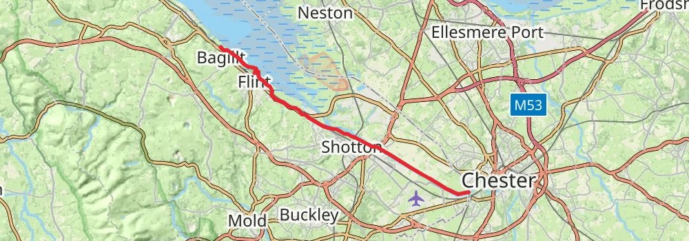
Starting at: Flintshire, CH4 8SB
Ending at: Bagillt, Flintshire, CH6 6AF
Distance: 22.8 km
Elevation gain: 159 m
Duration: 04:49:59
stage 2
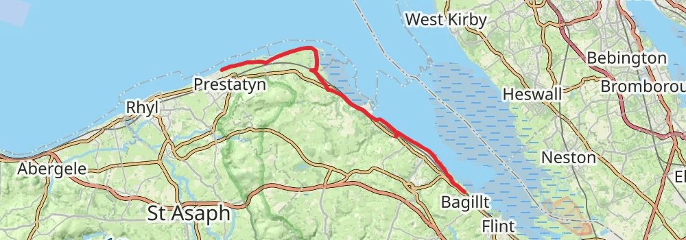
Starting at: Dee Bank, Bagillt, Flintshire, CH6 6AF
Ending at: Prestatyn, Denbighshire, LL19 7LF
Distance: 23.7 km
Elevation gain: 179 m
Duration: 05:02:10
stage 3
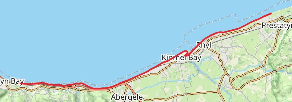
stage 4
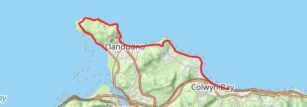
Starting at: Old Colwyn, Conwy, LL29 8EQ
Ending at: Llandudno, Conwy, LL30 2BB
Distance: 18.6 km
Elevation gain: 516 m
Duration: 04:34:52
stage 5
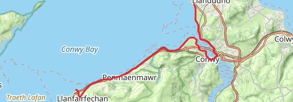
alt 1
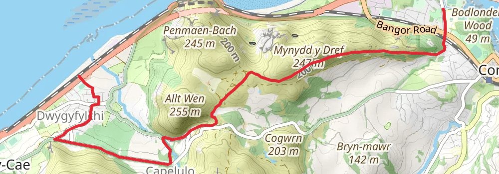
Starting at: Conwy, Conwy, LL32 8EE
Ending at: Little Chef, Dwygyfylchi, Conwy, LL34 6RY
Distance: 7.3 km
Elevation gain: 269 m
Duration: 01:55:02
alt 2
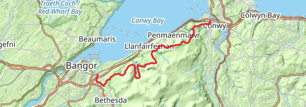
Starting at: Conwy, Conwy, LL32 8EE
Ending at: Tal-y-bont, Gwynedd, LL57 3YS
Distance: 34.5 km
Elevation gain: 1269 m
Duration: 09:01:31
alt 3
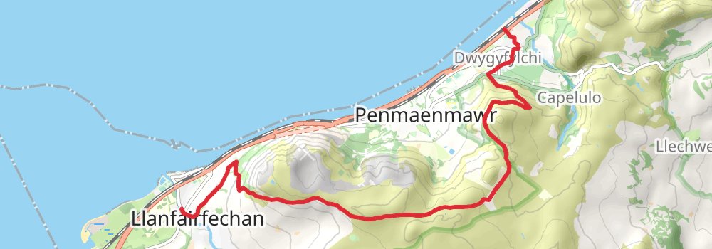
Starting at: Dwygyfylchi, Conwy, LL34 6UN
Ending at: Nood Food, Llanfairfechan, Conwy, LL33 0AL
Distance: 11.2 km
Elevation gain: 513 m
Duration: 03:06:09
stage 6
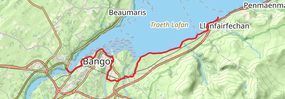
Ending at: Menai Bridge, Isle of Anglesey, LL59 5DU
Distance: 20.6 km
Elevation gain: 369 m
Duration: 04:44:00
stage 7
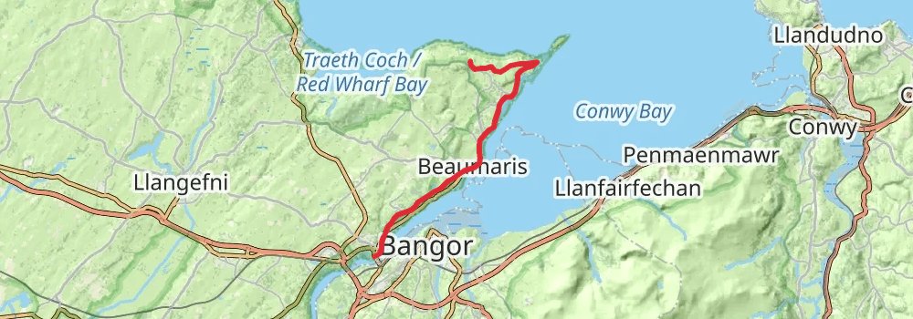
Starting at: Menai Bridge, Isle of Anglesey, LL59 5DU
Ending at: Glan-yr-afon, Isle of Anglesey, LL58 8TB
Distance: 19.4 km
Elevation gain: 364 m
Duration: 04:29:20
stage 8
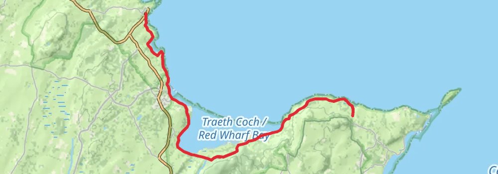
Starting at: Glan-yr-afon, Isle of Anglesey, LL58 8TB
Distance: 19.8 km
Elevation gain: 475 m
Duration: 04:45:33
stage 9
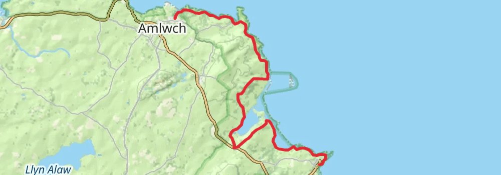
Starting at: Pen Lôn, Moelfre, Isle of Anglesey, LL72 8HR
Ending at: Amlwch, Isle of Anglesey, LL68 9HD
Distance: 19.3 km
Elevation gain: 546 m
Duration: 04:45:52
stage 10
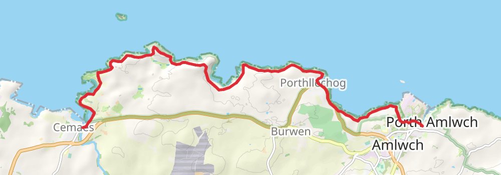
Starting at: Amlwch, Isle of Anglesey, LL68 9HD
Distance: 12.8 km
Elevation gain: 504 m
Duration: 03:24:14
stage 11
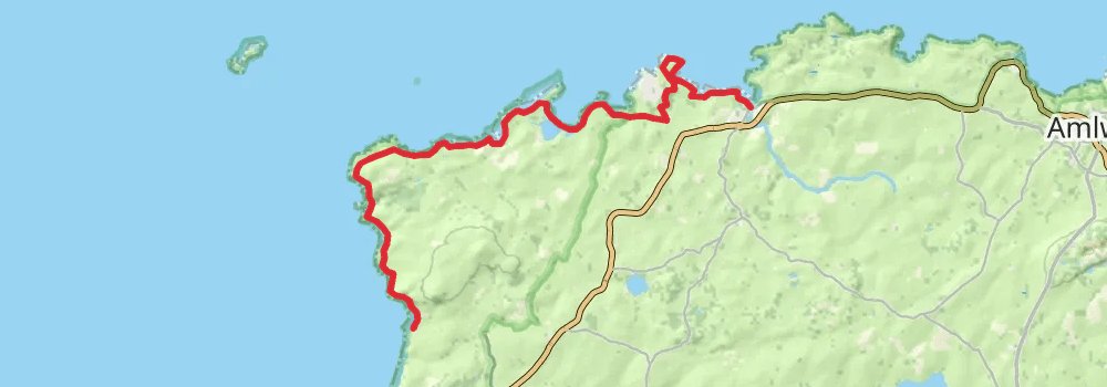
Starting at: Cemaes, Isle of Anglesey, LL67 0HH
Distance: 18.5 km
Elevation gain: 489 m
Duration: 04:31:04
stage 12
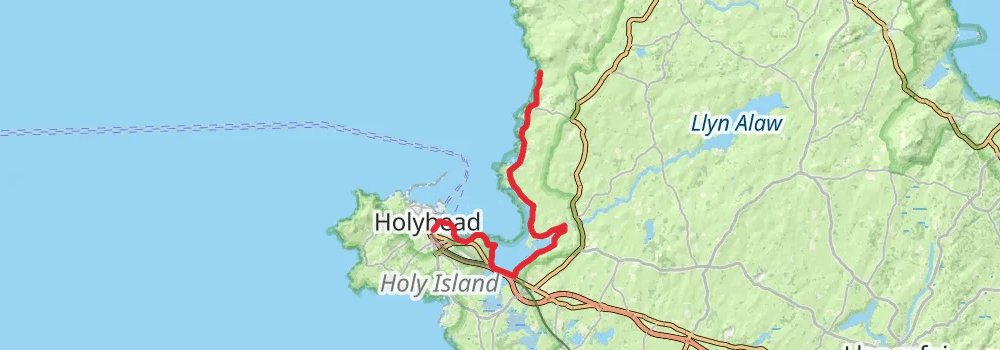
Starting at: Wavecrest, Llanfaethlu, Isle of Anglesey, LL65 4ET
Ending at: Holyhead, Isle of Anglesey, LL65 2BU
Distance: 22.1 km
Elevation gain: 290 m
Duration: 04:54:09
stage 13
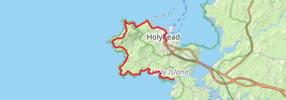
Starting at: Holyhead, Isle of Anglesey, LL65 2BU
Distance: 19.1 km
Elevation gain: 666 m
Duration: 04:55:54
stage 14
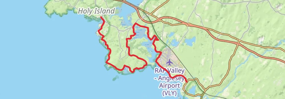
Starting at: Lola's, Trearddur, Isle of Anglesey, LL65 2UP
Ending at: Rhosneigr, Isle of Anglesey, LL64 5QS
Distance: 25.3 km
Elevation gain: 369 m
Duration: 05:40:05
stage 15
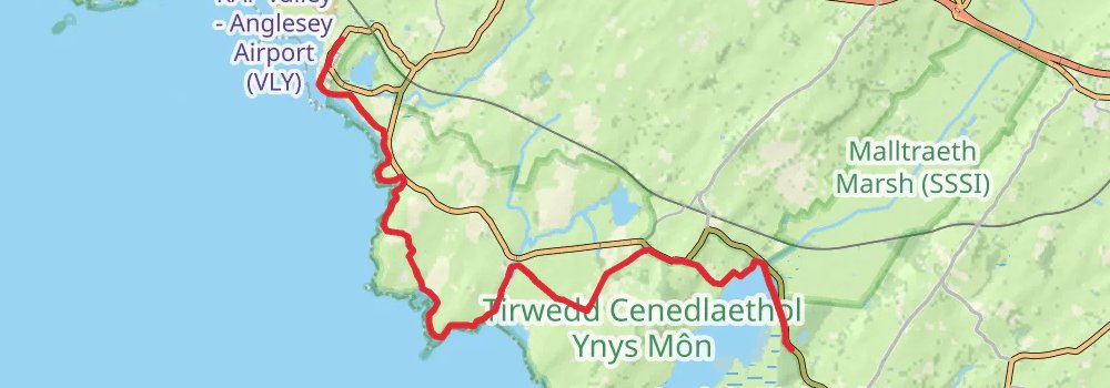
Starting at: Penmorfa, Rhosneigr, Isle of Anglesey, LL64 5QP
Ending at: Malltraeth, Isle of Anglesey, LL62 5BA
Distance: 20.8 km
Elevation gain: 243 m
Duration: 04:33:24
stage 16
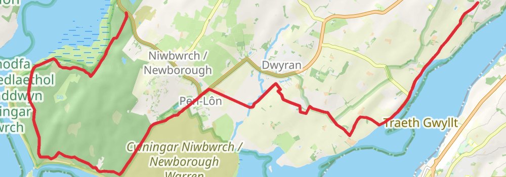
Starting at: Malltraeth, Isle of Anglesey, LL62 5BA
Ending at: Brynsiencyn, Isle of Anglesey, LL61 6TT
Distance: 19.5 km
Elevation gain: 212 m
Duration: 04:15:46
stage 17
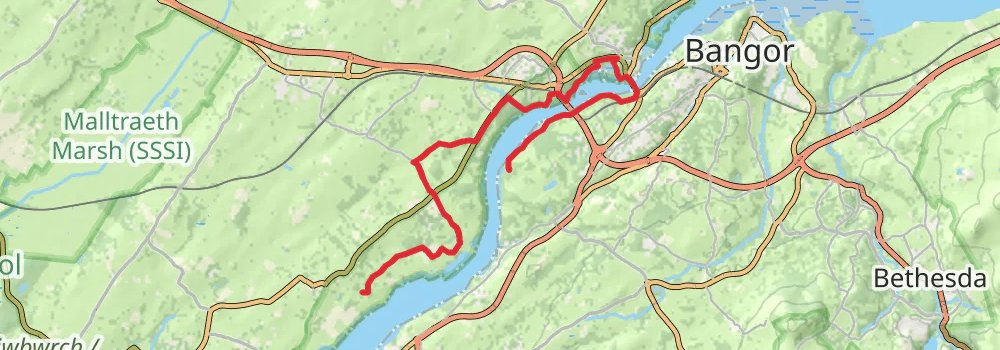
Starting at: Brynsiencyn, Isle of Anglesey, LL61 6TT
Distance: 17.9 km
Elevation gain: 343 m
Duration: 04:08:42
stage 18
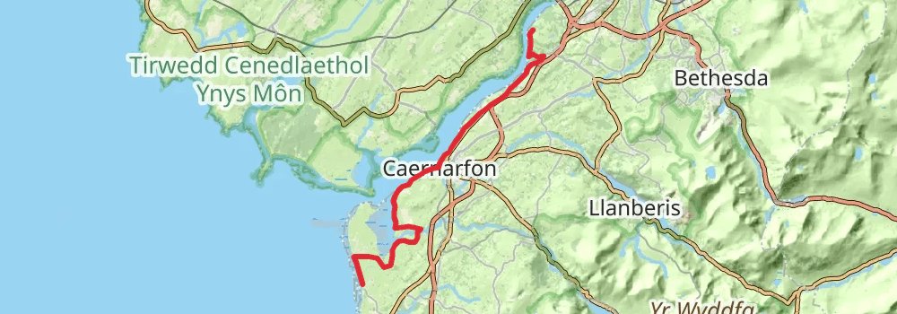
Ending at: Caffi Braf, Caernarfon, Gwynedd, LL54 5TW
Distance: 24.2 km
Elevation gain: 211 m
Duration: 05:11:36
stage 19
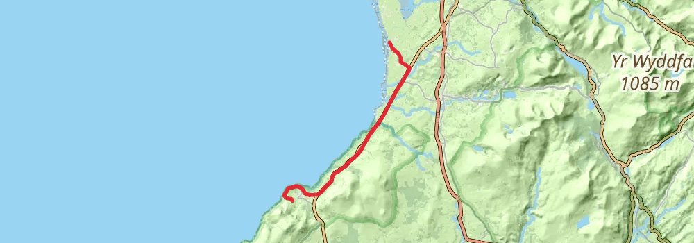
Starting at: Caffi Braf, Caernarfon, Gwynedd, LL54 5TW
Ending at: Trefor, Gwynedd, LL54 5LY
Distance: 17.4 km
Elevation gain: 275 m
Duration: 03:55:46
stage 20
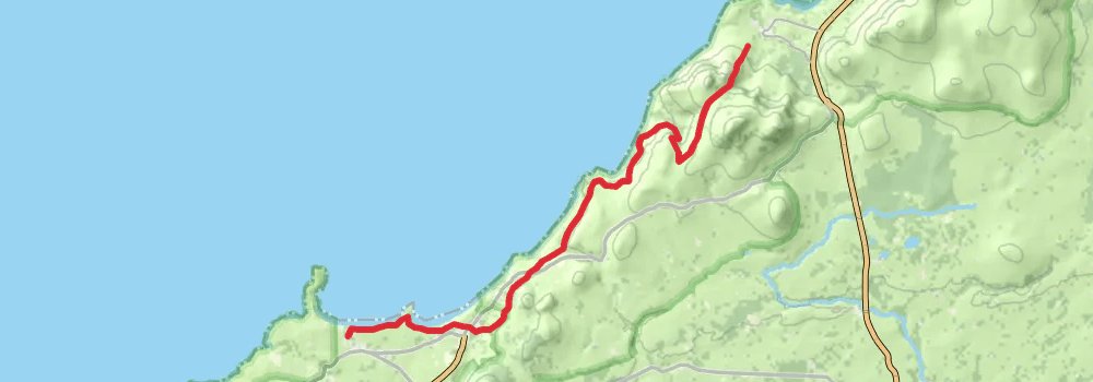
Starting at: Trefor, Gwynedd, LL54 5LY
Ending at: Morfa Nefyn, Gwynedd, LL53 6DA
Distance: 15.5 km
Elevation gain: 687 m
Duration: 04:14:35
stage 21
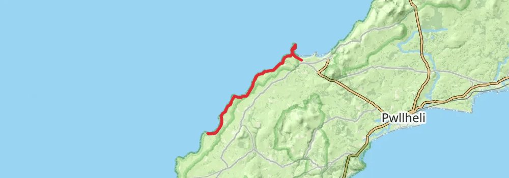
Starting at: Morfa Nefyn, Gwynedd, LL53 6DA
Ending at: Morfa, Morfa, Gwynedd, LL53 8NT
Distance: 17.5 km
Elevation gain: 432 m
Duration: 04:13:14
stage 22
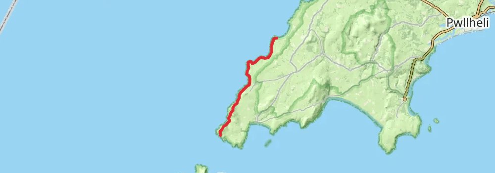
Starting at: Morfa, Morfa, Gwynedd, LL53 8NT
Distance: 15.6 km
Elevation gain: 676 m
Duration: 04:14:32
stage 23
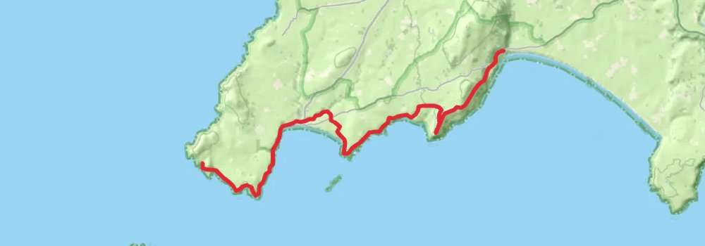
Starting at: St. Mary's Well, Uwchmynydd, Gwynedd, LL53 8DD
Ending at: Gwynedd, LL53 8AA
Distance: 18.7 km
Elevation gain: 860 m
Duration: 05:10:52
stage 24
stage 25
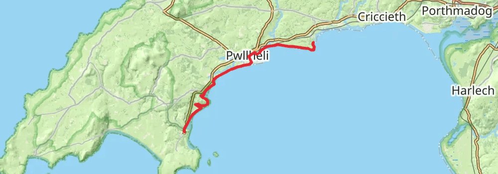
Distance: 21.2 km
Elevation gain: 310 m
Duration: 04:44:52
stage 26
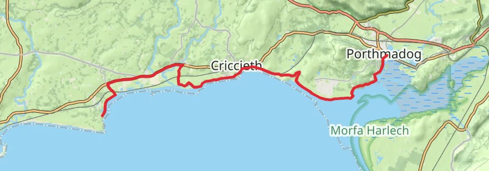
Starting at: Haven - Hafan y Mor, Chwilog, Gwynedd, LL53 6RQ
Distance: 20.5 km
Elevation gain: 242 m
Duration: 04:30:44
stage 27
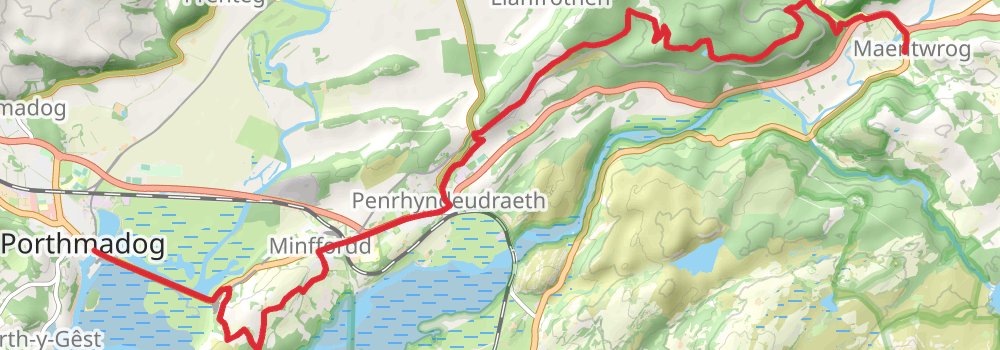
Starting at: Britannia Bridge, Porthmadog, Gwynedd, LL49 9LU
Ending at: Royal Mail, Maentwrog, Gwynedd, LL41 4HN
Distance: 15.9 km
Elevation gain: 450 m
Duration: 03:56:16