Download
3D Flyover
Add to list
More
1405.6 km
~57 days
34187 m
Multi-Day
“Embark on the Wales Coast Path for a stunning, historic trek along diverse terrains and coastal splendors.”
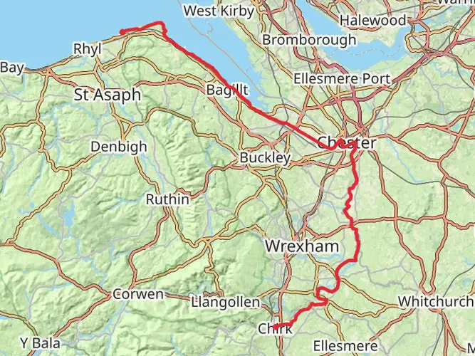
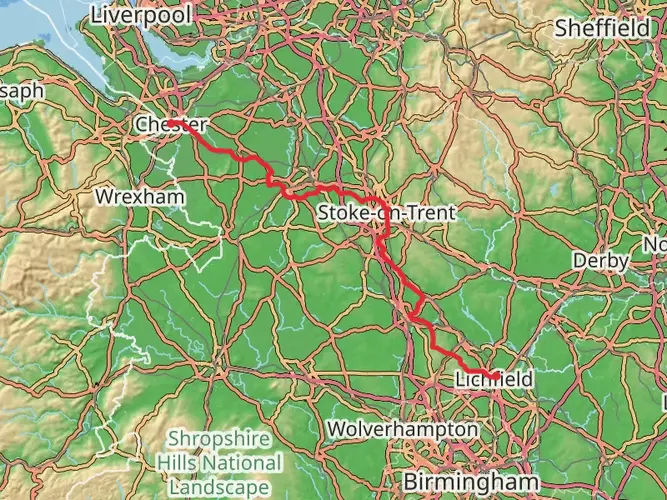
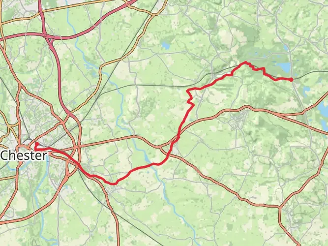
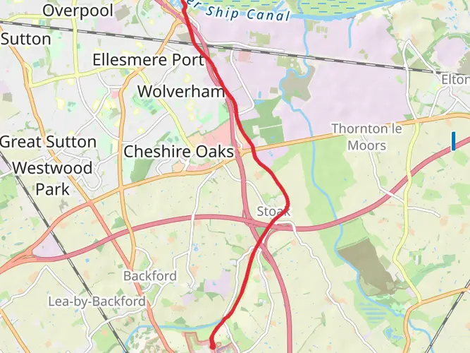
Embarking on the Wales Coast Path is an extraordinary journey that stretches approximately 1404 kilometers (873 miles) along the stunning Welsh coastline. This point-to-point trail begins near Cheshire West and Chester, Wales, and offers a challenging adventure with an elevation gain of around 9400 meters (30,840 feet). The path is renowned for its breathtaking landscapes, rich history, and diverse wildlife, making it a must-experience for avid hikers.
Getting There
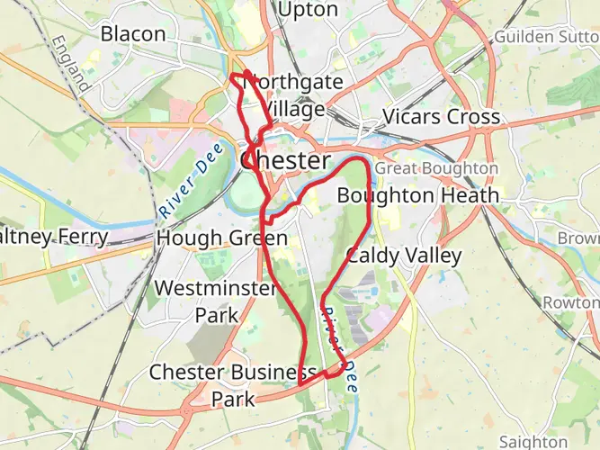
To reach the trailhead near Cheshire West and Chester, travelers can opt for public transport or drive. By train, the nearest major station is Chester, which is well-connected to major cities like London and Manchester. From Chester, local buses or taxis can take you closer to the starting point. If driving, the area is accessible via the M56 motorway, with parking options available in nearby towns.
Trail Highlights
Snowdonia National Park
As you traverse the Wales Coast Path, you'll pass through the iconic Snowdonia National Park. This section offers dramatic mountain vistas and lush valleys, with peaks like Snowdon, the highest in Wales, visible in the distance. The park is a haven for wildlife enthusiasts, with opportunities to spot rare birds such as the peregrine falcon and the red kite. The rugged terrain here contributes significantly to the trail's overall elevation gain, providing both a physical challenge and a visual feast.
Pembrokeshire Coast
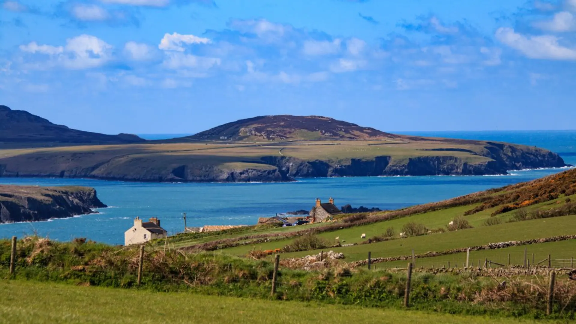
Further along the path, the Pembrokeshire Coast section is renowned for its striking cliffs, sandy beaches, and quaint fishing villages. This area is part of the Pembrokeshire Coast National Park, the only coastal national park in Britain. Hikers can explore the rich marine life, including seals and dolphins, and enjoy the vibrant wildflowers that blanket the cliffs in spring and summer. The historical significance of this region is profound, with ancient sites like St. David's Cathedral and the Neolithic burial chamber of Pentre Ifan offering glimpses into the past.
Historical Significance
The Wales Coast Path is steeped in history, with numerous castles, forts, and ancient ruins dotting the landscape. The path itself follows routes that have been used for centuries, offering a unique perspective on the cultural and historical evolution of Wales. Notable historical landmarks include Conwy Castle, a UNESCO World Heritage Site, and the medieval town walls of Caernarfon. These sites provide a fascinating backdrop to the natural beauty of the trail.
Navigation and Preparation
Given the trail's length and difficulty, thorough preparation is essential. Hikers should equip themselves with reliable navigation tools, such as the HiiKER app, to ensure they stay on course. The trail is well-marked, but weather conditions can change rapidly, particularly in the mountainous regions. It's advisable to pack appropriate gear, including waterproof clothing and sturdy hiking boots, and to plan for accommodations along the way, as the trail passes through numerous towns and villages offering lodging options.
The Wales Coast Path is a challenging yet rewarding adventure that promises unforgettable experiences for those who undertake it. With its blend of natural beauty, historical intrigue, and cultural richness, it stands as one of the most remarkable long-distance trails in the world.

What to expect?
Activity types
Comments and Reviews
User comments, reviews and discussions about the Wales Coast Path, Wales.
4.67
average rating out of 5
45 rating(s)