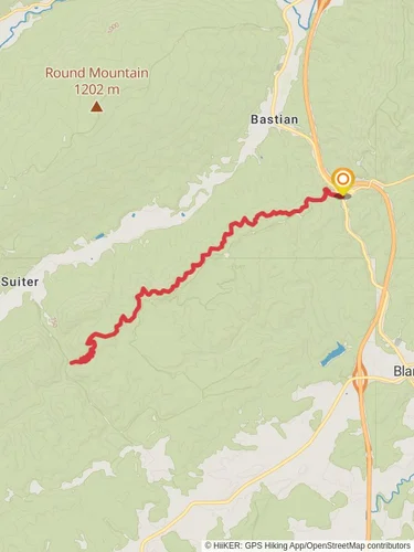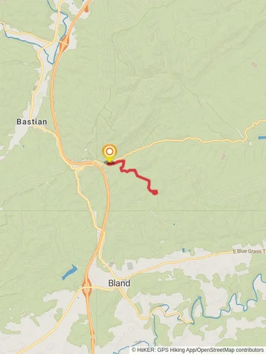
Appalachian Trail Section Hike - Bland to Damascus
George Washington and Jefferson National Forest · Bland County, Virginia
182.9 km
~9 day
5859 m
“Embark on a scenic, challenging 183 km trek through Virginia's diverse wilderness, from Bland to Damascus.”
Embarking on the Appalachian Trail section from Bland to Damascus, you'll traverse approximately 183 kilometers (114 miles) of diverse landscapes, with an elevation gain of around 5800 meters (19,000 feet). This point-to-point hike is considered difficult due to its length and the challenging terrain you'll encounter along the way.Getting to the Trailhead
The journey begins near Bland County, Virginia. If you're driving, you can reach the trailhead by taking I-77 to exit 52 and following the signs to Bland. There, you'll find parking areas where you can leave your car. For those relying on public transport, options are limited, but you can look into regional bus services that get you close to Bland, and then take a taxi to the trailhead.Navigating the Trail
As you set out, ensure you have the HiiKER app downloaded for up-to-date trail maps and navigation. The app will be an invaluable tool for staying on course and locating nearby amenities.Landmarks and Scenery
The trail from Bland to Damascus is rich with natural beauty and historical significance. You'll pass through several wilderness areas, including the picturesque Jefferson National Forest, where the dense canopy of trees provides a habitat for a variety of wildlife. Keep an eye out for deer, black bears, and numerous bird species.Mount Rogers National Recreation Area
One of the highlights of this section is the Mount Rogers National Recreation Area, which you'll reach after about 144 kilometers (90 miles) into your hike. Here, you'll find the highest point in Virginia, Mount Rogers, at an elevation of 1,746 meters (5,729 feet), although the trail does not go over the summit.Historical Significance
The region is steeped in history, with the trail itself following paths once used by Native Americans and early European settlers. As you approach Damascus, known as "Trail Town USA," you'll be walking in the footsteps of countless hikers who have participated in the annual Trail Days festival, a celebration of the Appalachian Trail community.Wildlife and Flora
Throughout your journey, the changing elevations will bring you through a variety of ecosystems, each with its own unique flora and fauna. From hardwood forests to highland bogs, the biodiversity is a highlight for many hikers. Be prepared for the possibility of encounters with wildlife and always practice Leave No Trace principles to minimize your impact on these ecosystems.Preparation and Safety
Given the trail's difficulty, it's essential to be well-prepared with the right gear, including sturdy hiking boots, weather-appropriate clothing, and a reliable means of water purification. Make sure to check the weather forecast before you start your hike and be prepared for sudden changes in mountain weather patterns.Resupply Points and Amenities
There are several towns and resupply points along the way where you can restock on food and supplies. It's a good idea to plan your stops in advance and know the distances between these points. Damascus itself offers a range of hiker services, including hostels, gear shops, and restaurants.Conclusion
By the time you reach the friendly town of Damascus, you will have experienced some of the most beautiful and challenging sections of the Appalachian Trail. With proper preparation and respect for the natural environment, this hike can be an unforgettable adventure through the heart of the Appalachian Mountains.
Reviews
User comments, reviews and discussions about the Appalachian Trail Section Hike - Bland to Damascus, Virginia.
5.0
average rating out of 5
9 rating(s)
Loading reviews...


