Download
Preview
Add to list
More
21.8 km
~1 day 0 hrs
842 m
Out and Back
“Embark on a scenic 22km hike through historic Appalachian trails to the tranquil Laurel Creek Campsite.”
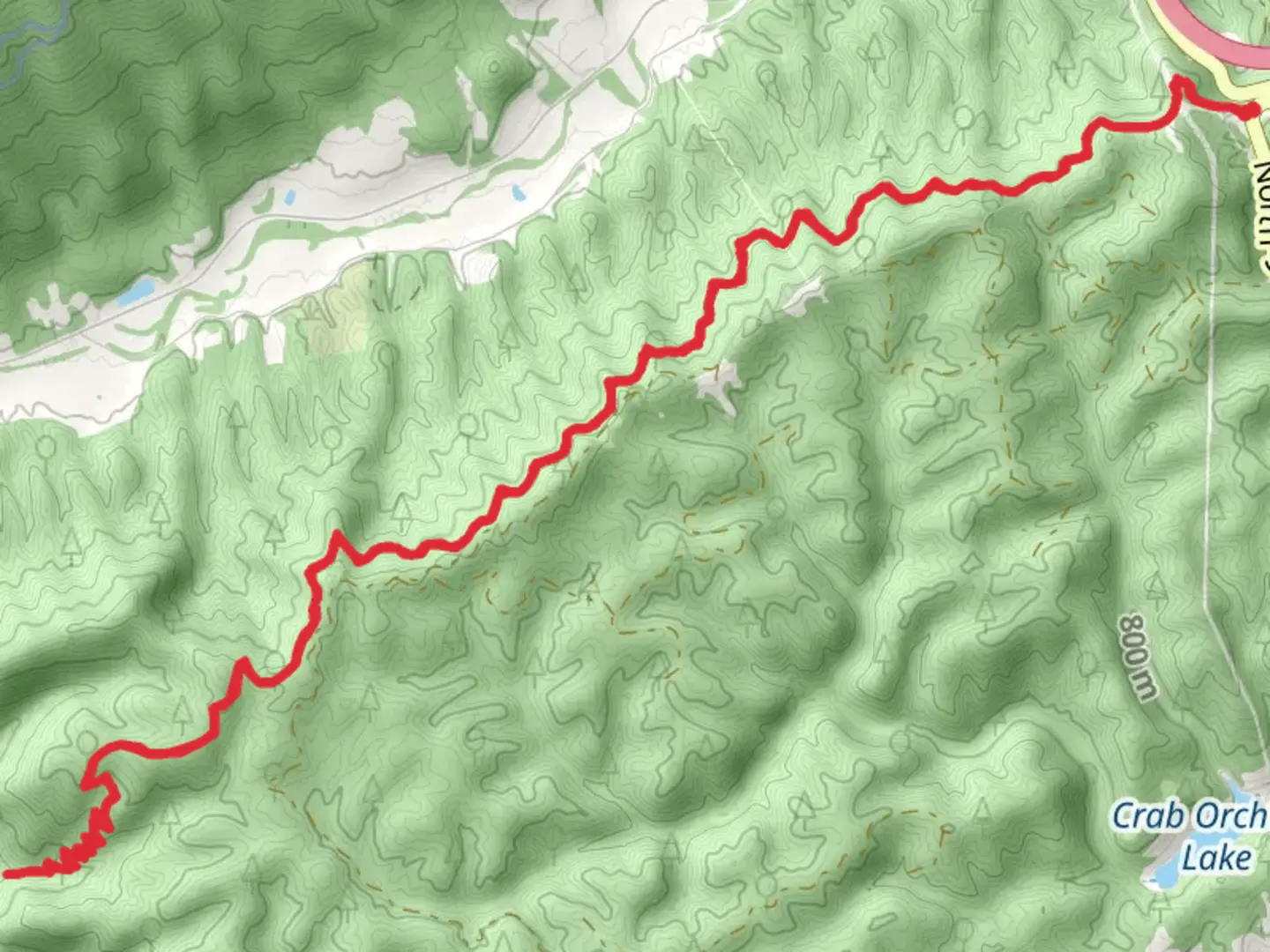
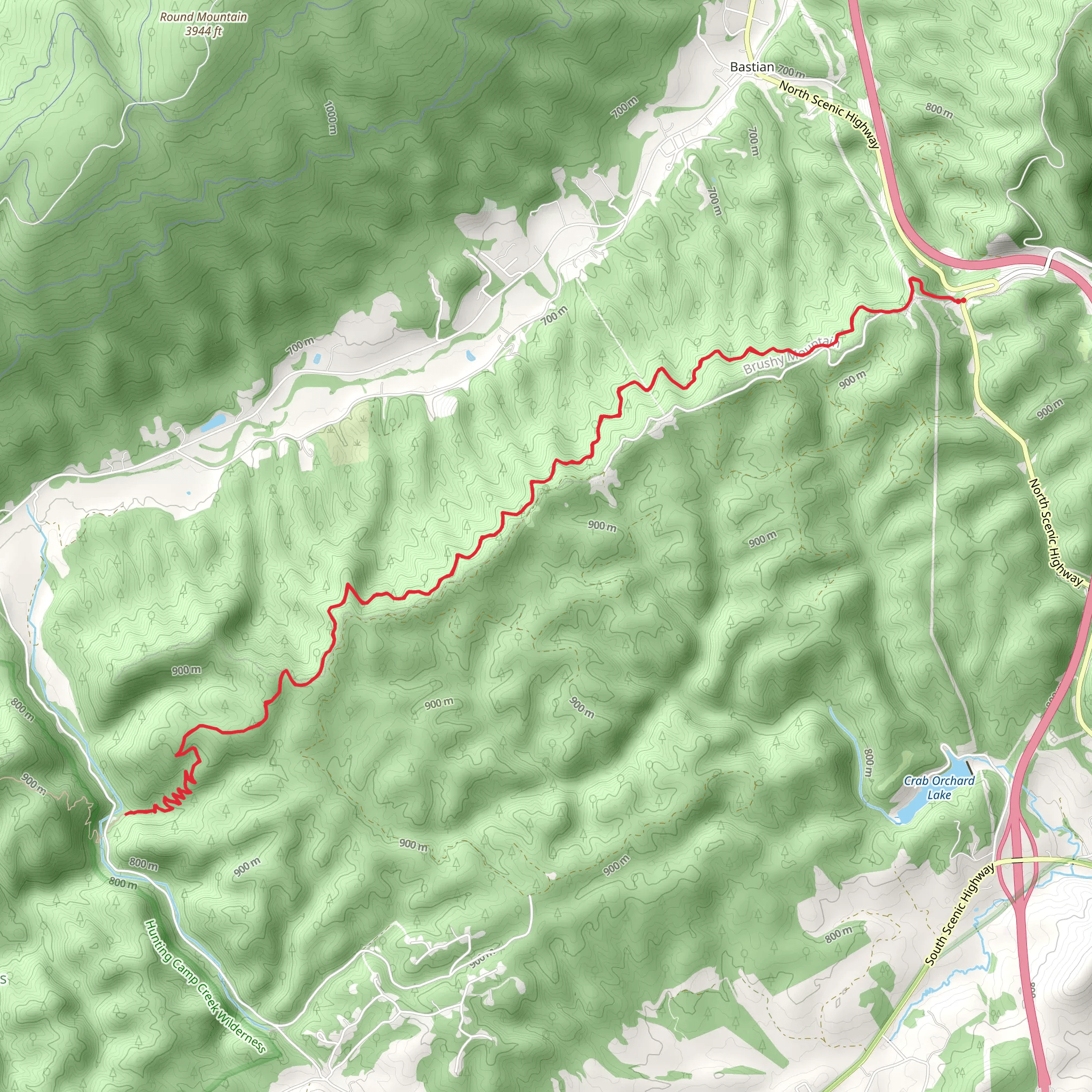
Embarking on the Laurel Creek Campsite via Appalachian Trail, hikers will traverse approximately 22 kilometers (around 13.7 miles) with an elevation gain of about 800 meters (roughly 2625 feet). The trailhead is conveniently located near Bland County, Virginia, and is accessible for those arriving by car. To reach the starting point, drivers can navigate to the vicinity of Brushy Mountain, where parking is available. For those relying on public transportation, options may be limited due to the rural nature of the area, so it's advisable to check local resources for the most current schedules and routes.
Navigating the Trail
As you set out from the trailhead, the path will lead you through a diverse landscape of dense forests, open meadows, and over rolling hills. The trail is well-marked, but carrying a reliable navigation tool like HiiKER is recommended to stay on course and monitor your progress. The initial segment of the hike is a gradual ascent, which becomes more pronounced as you approach the halfway mark.
Natural Features and Wildlife
The Appalachian Trail is renowned for its rich biodiversity. Throughout your hike, you'll likely encounter a variety of flora, including hardwood forests, rhododendron thickets, and wildflowers that bloom in different seasons. Fauna in the area includes white-tailed deer, black bears, and a plethora of bird species, so keep your binoculars handy and maintain a safe distance from wildlife.
Historical Significance
The region is steeped in history, with the Appalachian Trail itself being a monument to conservation and outdoor recreation efforts dating back to the 1920s. As you walk, you're treading a path that has been used for generations, offering a sense of connection to the countless hikers who have explored this corridor of the Appalachian Mountains before you.
Landmarks and Points of Interest
Approximately 11 kilometers (about 6.8 miles) into the hike, you'll reach Laurel Creek Campsite, which serves as a turning point for this out-and-back trail. The campsite is a perfect spot to rest and refuel while enjoying the serene sounds of the nearby creek. It's also an excellent opportunity for an overnight stay if you're looking to extend your adventure.
Preparation and Planning
Before setting out, ensure you have adequate water, as sources along the trail may be seasonal or require treatment before consumption. Dress in layers to adapt to changing temperatures and wear sturdy hiking boots to navigate the varied terrain. It's also wise to check the weather forecast and trail conditions, as the area can experience sudden changes that may impact your hike.
Access to the Trailhead
The trailhead is most directly reached by car. From the town of Bland, take Route 42 to the junction with Route 623 (Brushy Mountain Road). Follow Route 623 until you see signs for the Appalachian Trail parking area, which will be your starting point for the hike to Laurel Creek Campsite.
Remember, while the difficulty rating for this trail is estimated to be medium, it's important to assess your own fitness level and hiking experience before embarking on this or any trail. Always let someone know your itinerary and expected return time for safety.
What to expect?
Activity types
Comments and Reviews
User comments, reviews and discussions about the Laurel Creek Campsite via Appalachian Trail, Virginia.
4.71
average rating out of 5
17 rating(s)
