The best hikes in Northern Grampians
Victoria · 7 HiiKER Hikes
View Hikes on map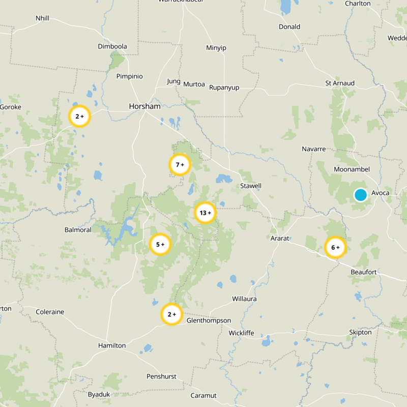


What to expect
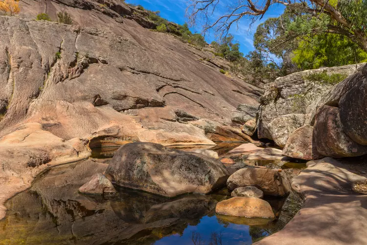
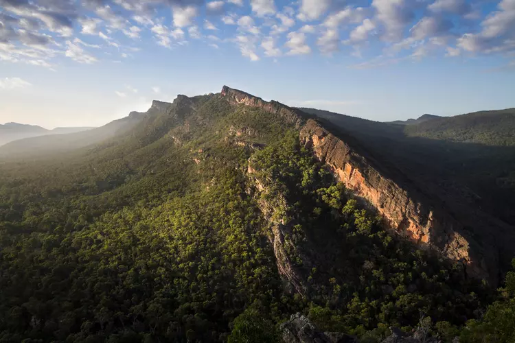
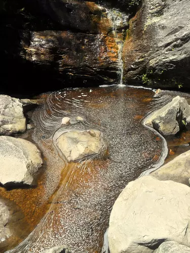
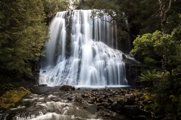
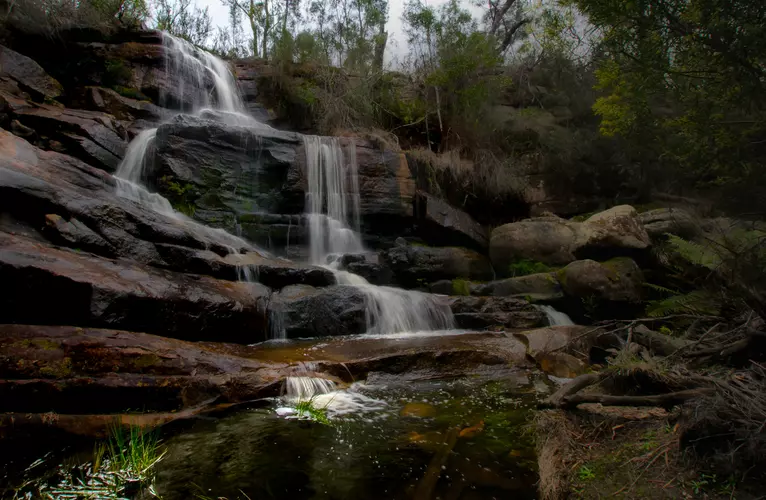
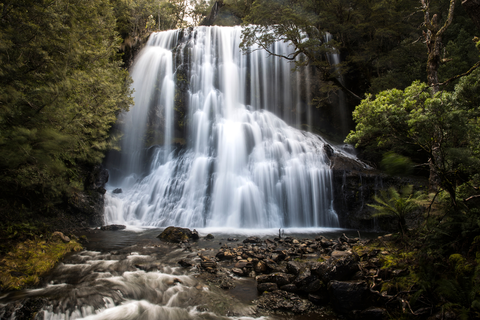
Check out some of the best hiking, walking and backpacking routes in Northern Grampians, Victoria. The Halls Gap to Pinnacle Track and Grampians Peaks Trail is the most popular trail. The trails have 2 user reviews with great photos and information. The trail with the highest elevation climb is the Mount Difficult Trail - Briggs Bluff and the trail with the least amount of climbing is the Chatauqua Peak Circuit. The longest trail is the Mount Difficult Trail - Briggs Bluff at 23.0 km. For a shorter adventure you can try the Chatauqua Peak Circuit at 7.2 km. Get off line access to Peak, Viewpoint, Restaurant, and Campsite locations and much more with a Hiiker subscription.

Be prepared for hiking in Victoria with the HiiKER app