The best hikes in Davis County
Utah · 109 HiiKER Hikes
View Hikes on map
What to expect
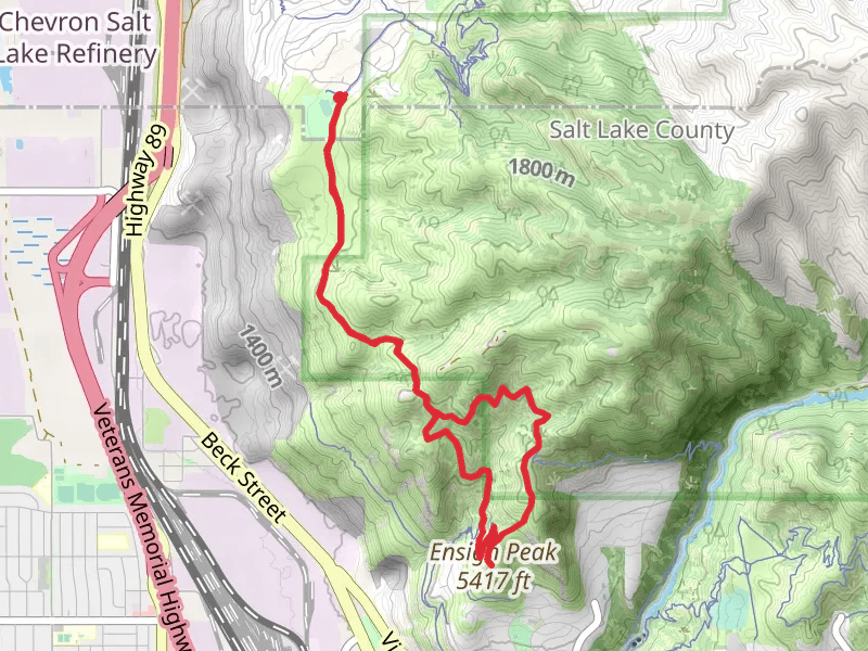
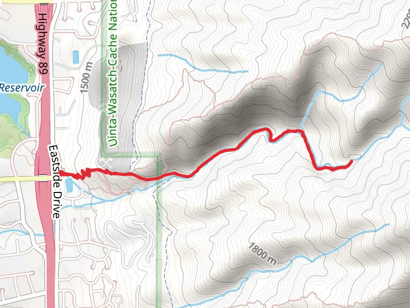
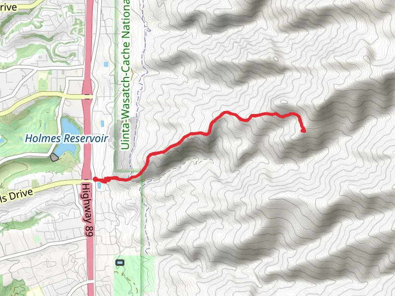
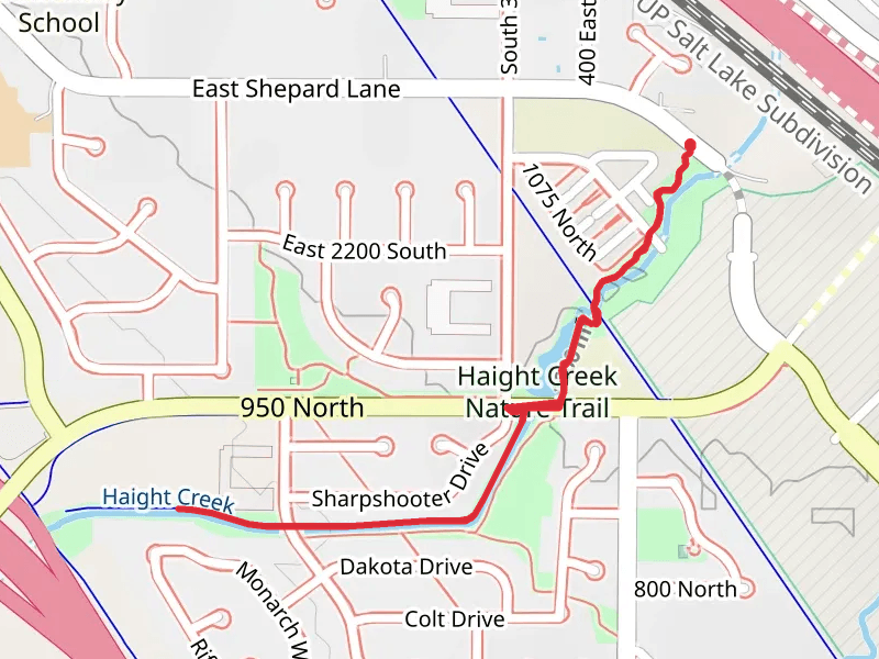
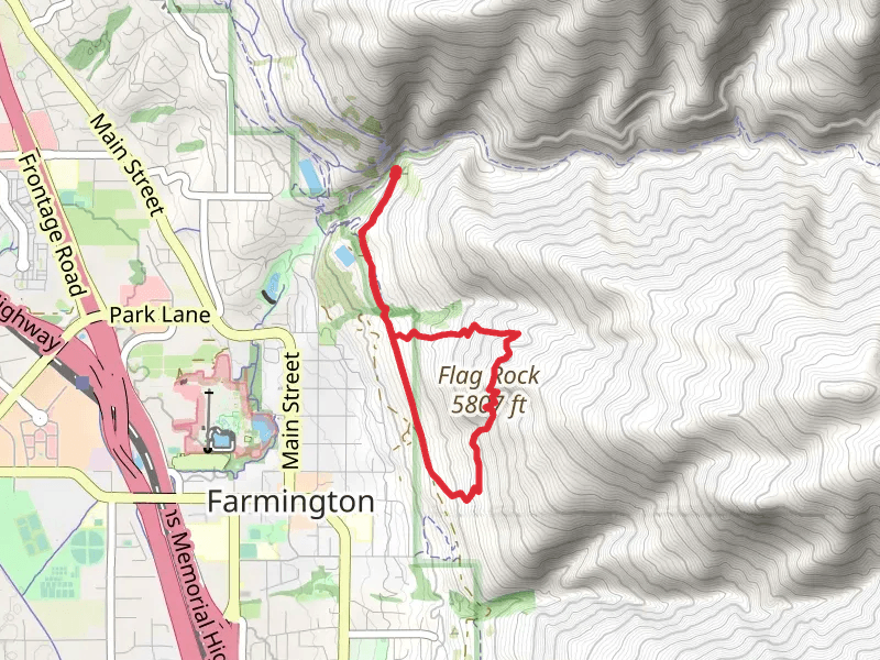
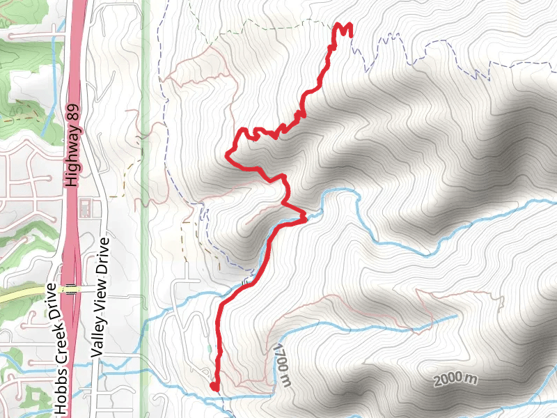
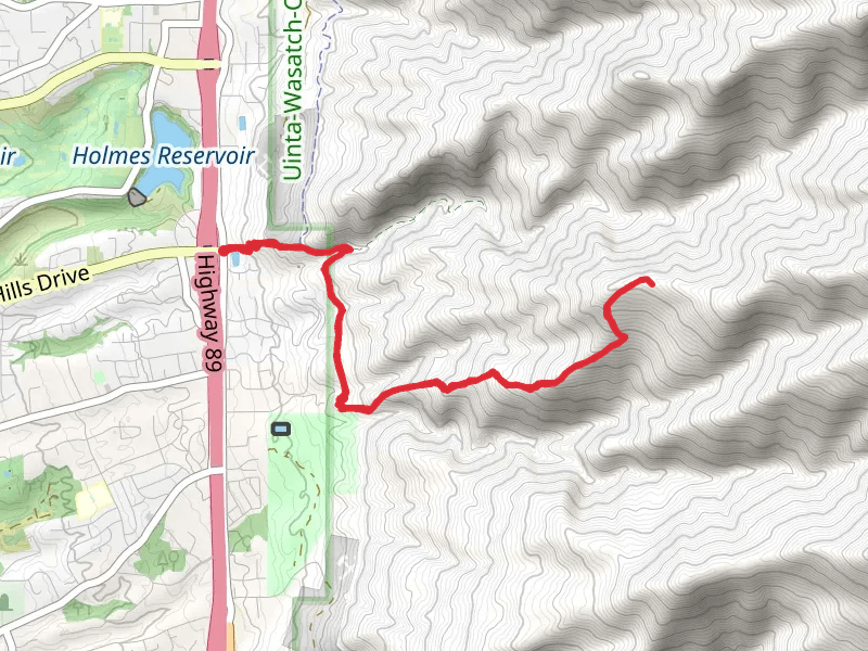
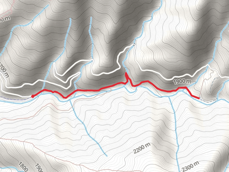
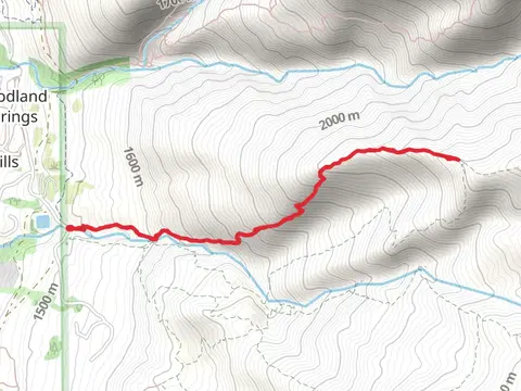
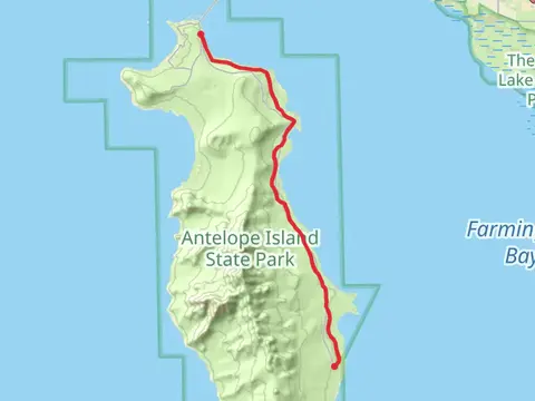
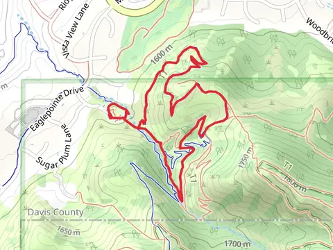
Check out some of the best hiking, walking and backpacking routes in Davis County, Utah. The Jordan River Trail is the most popular trail. The trails have 7 user reviews with great photos and information. There are trails of various difficulty levels including easy and medium. The trail with the highest elevation climb is the Thurston Peak via Francis Peak and the trail with the least amount of climbing is the Bountiful Lake Loop. The longest trail is the Jordan River Trail at 74.5 km. For a shorter adventure you can try the Antelope Island Road at 540 m. Get off line access to Healthcare, Restaurant, Fastfood, and Shelter locations and much more with a Hiiker subscription.

Be prepared for hiking in Utah with the HiiKER app