Download
Preview
Add to list
More
12.1 km
~3 hrs 32 min
669 m
Out and Back
“Experience panoramic views, historical mining sites, and diverse wildlife on the scenic Thurston Peak via Francis Peak trail.”
Starting your hike near Davis County, Utah, the trailhead for this adventure is conveniently located near Francis Peak. If you're driving, you can park at the Francis Peak Radar Domes, which are easily accessible via Farmington Canyon Road. For those relying on public transport, the nearest significant landmark is the Farmington Station, from where you can arrange a taxi or rideshare to the trailhead.
Trail Overview
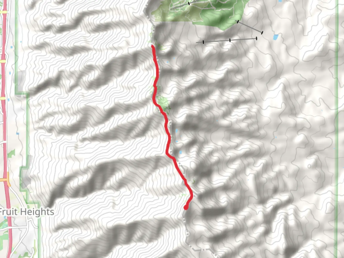
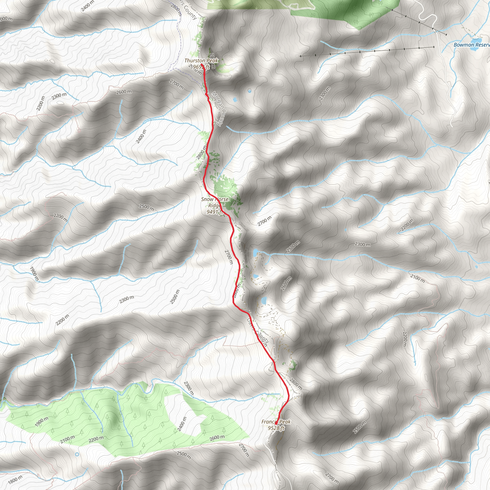
The Thurston Peak via Francis Peak trail is an out-and-back route stretching approximately 12 kilometers (7.5 miles) with an elevation gain of around 600 meters (1,968 feet). This moderate difficulty trail offers a rewarding experience for hikers looking to explore the Wasatch Range.
Initial Ascent
Starting from the trailhead, the first section of the trail involves a steady ascent. The initial 3 kilometers (1.9 miles) will take you through a mix of alpine meadows and coniferous forests. The elevation gain in this section is about 200 meters (656 feet), so pace yourself and take breaks as needed. Keep an eye out for mule deer and various bird species that inhabit this area.
Mid-Trail Landmarks
As you continue, you'll reach a more open area around the 5-kilometer (3.1 miles) mark. Here, the trail levels out slightly, offering panoramic views of the surrounding peaks and valleys. This is a great spot to take a break and hydrate. The elevation gain here is less steep, adding another 150 meters (492 feet) over the next 2 kilometers (1.2 miles).
Historical Significance
Around the 6-kilometer (3.7 miles) mark, you'll come across remnants of old mining operations. This region has a rich history dating back to the late 19th century when it was part of the Utah mining boom. Take a moment to appreciate the historical significance and imagine the lives of the miners who once worked here.
Final Ascent to Thurston Peak
The final push to Thurston Peak involves a steeper ascent, gaining approximately 250 meters (820 feet) over the last 3 kilometers (1.9 miles). The trail becomes rockier and more exposed, so be cautious and watch your footing. As you approach the summit, you'll be rewarded with breathtaking 360-degree views of the Wasatch Range and the Great Salt Lake.
Wildlife and Flora
Throughout the hike, you'll encounter a variety of flora and fauna. The lower elevations are dominated by aspen and pine trees, while the higher elevations feature alpine wildflowers and hardy shrubs. Wildlife is abundant, with chances to see marmots, hawks, and even the occasional black bear.
Navigation
For navigation, it's highly recommended to use HiiKER, which provides detailed maps and real-time updates. The trail is well-marked, but having a reliable navigation tool will ensure you stay on track and can enjoy your hike without any worries.
Return Journey
The return journey follows the same path back to the trailhead. While descending, take the opportunity to enjoy the views you might have missed on the way up. The downhill trek is easier on the legs but still requires caution, especially on the rocky sections.
This trail offers a perfect blend of natural beauty, historical intrigue, and moderate physical challenge, making it a must-do for any hiking enthusiast visiting the Davis County area.
What to expect?
Activity types
Comments and Reviews
User comments, reviews and discussions about the Thurston Peak via Francis Peak, Utah.
4.69
average rating out of 5
13 rating(s)
