American Perimeter Trail - The South Primary trail stages
stage 61
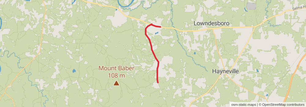
Starting at: Gordonville, Lowndes County, 36785
Ending at: White Hall, Lowndes County, 36040
Distance: 16.0 km
Elevation gain: 125 m
Duration: 03:24:08
View on mapstage 62
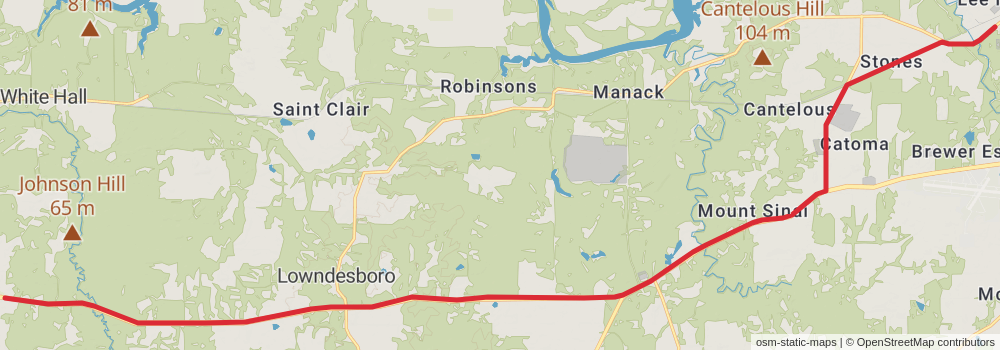
Starting at: White Hall, Lowndes County, 36040
Ending at: Montgomery, Montgomery County, 36108
Distance: 36.8 km
Elevation gain: 211 m
Duration: 07:42:34
View on mapstage 63
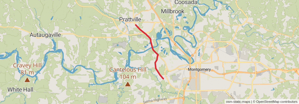
Starting at: Montgomery, Montgomery County, 36108
Ending at: Prattville, Autauga County, 36067
Distance: 14.3 km
Elevation gain: 115 m
Duration: 03:02:30
View on mapstage 64
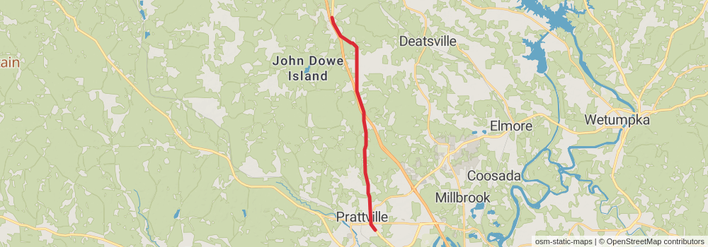
Starting at: Prattville, Autauga County, 36067
Ending at: Deatsville, Autauga County, 36022
Distance: 20.6 km
Elevation gain: 266 m
Duration: 04:34:00
View on mapstage 65
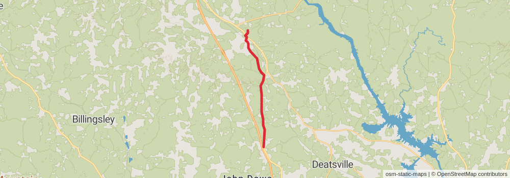
Starting at: Deatsville, Autauga County, 36022
Ending at: Verbena, Chilton County, 36091
Distance: 15.8 km
Elevation gain: 198 m
Duration: 03:29:12
View on mapstage 66
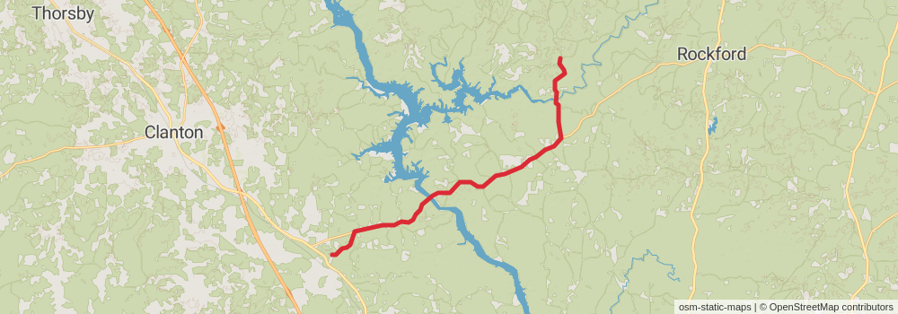
Starting at: Verbena, Chilton County, 36091
Ending at: Rockford, Coosa County, 35136
Distance: 26.3 km
Elevation gain: 502 m
Duration: 06:05:50
View on mapstage 67
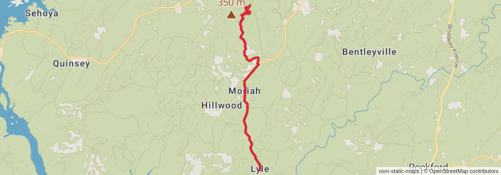
Starting at: Rockford, Coosa County, 35136
Ending at: Weogufka, Coosa County, 35183
Distance: 14.4 km
Elevation gain: 408 m
Duration: 03:33:06
View on mapstage 68
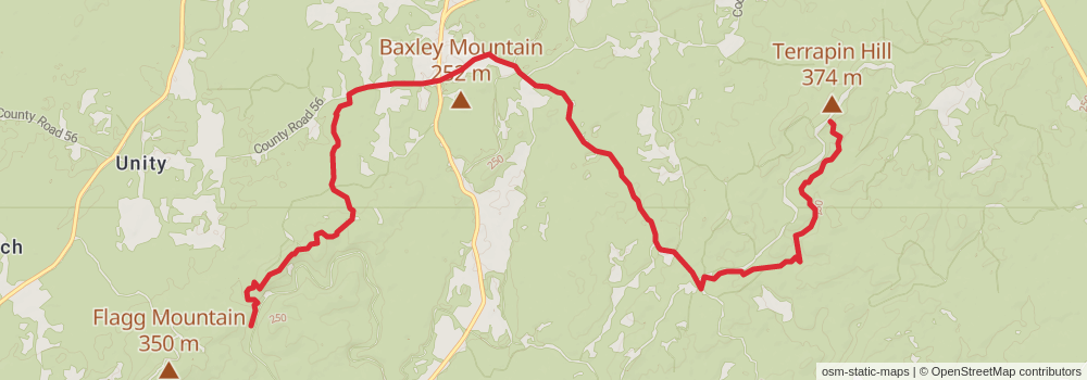
Starting at: Weogufka, Coosa County, 35183
Ending at: Stewartville, Coosa County, 35136
Distance: 17.0 km
Elevation gain: 674 m
Duration: 04:31:24
View on mapstage 69
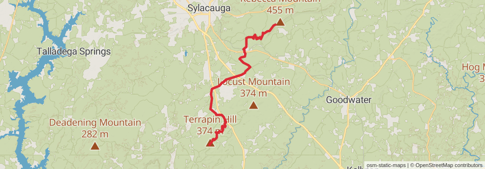
Starting at: Stewartville, Coosa County, 35136
Ending at: Hollins, Clay County, 35082
Distance: 30.5 km
Elevation gain: 757 m
Duration: 07:21:58
View on mapstage 70
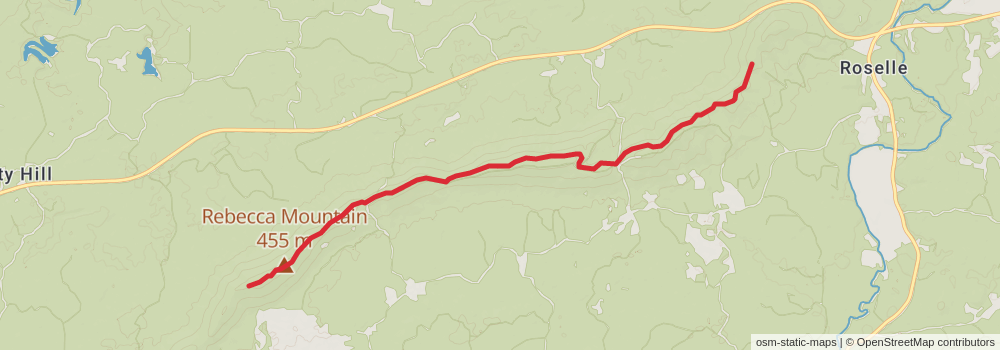
Starting at: Hollins, Clay County, 35082
Ending at: Goodwater, Clay County, 35072
Distance: 10.0 km
Elevation gain: 369 m
Duration: 02:36:20
View on mapstage 71
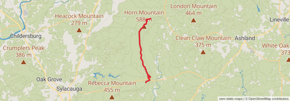
Starting at: Goodwater, Clay County, 35072
Ending at: Talladega, Clay County, 35160
Distance: 19.7 km
Elevation gain: 616 m
Duration: 04:58:17
View on mapstage 72
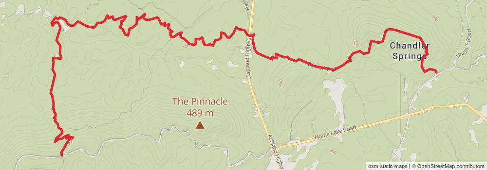
Starting at: Talladega, Clay County, 35160
Ending at: Waldo, Talladega County, 35160
Distance: 13.4 km
Elevation gain: 390 m
Duration: 03:19:59
View on mapstage 73
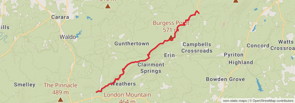
Starting at: Waldo, Talladega County, 35160
Distance: 17.8 km
Elevation gain: 735 m
Duration: 04:47:07
View on mapstage 74
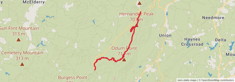
Starting at: Talladega, Clay County, 35160
Ending at: Delta, Cleburne County, 36258
Distance: 17.1 km
Elevation gain: 821 m
Duration: 04:47:09
View on mapstage 75
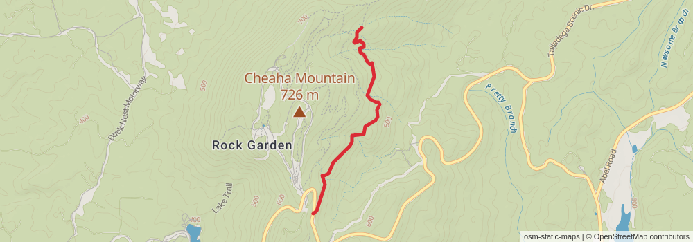
Starting at: Delta, Cleburne County, 36258
Ending at: Delta, Cleburne County, 36258
Distance: 2.9 km
Elevation gain: 141 m
Duration: 00:49:08
View on mapstage 76
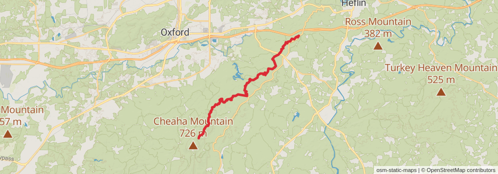
Starting at: Delta, Cleburne County, 36258
Ending at: Choccolocco, Cleburne County, 36264
Distance: 28.2 km
Elevation gain: 957 m
Duration: 07:13:40
View on mapstage 77
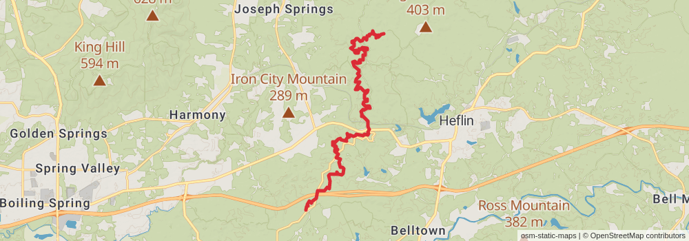
Starting at: Choccolocco, Cleburne County, 36264
Distance: 21.2 km
Elevation gain: 1028 m
Duration: 05:57:14
View on mapstage 78
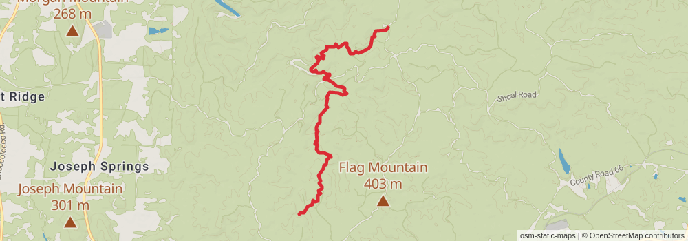
Starting at: Lower Shoals Shelter, Heflin, Cleburne County, 36272
Ending at: Piedmont, Cleburne County, 36272
Distance: 9.0 km
Elevation gain: 347 m
Duration: 02:22:39
View on mapstage 79
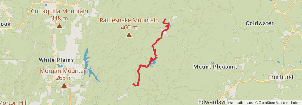
Starting at: Heflin, Cleburne County, 36264
Ending at: Edwardsville, Calhoun County, 36272
Distance: 12.6 km
Elevation gain: 333 m
Duration: 03:04:20
View on mapstage 80
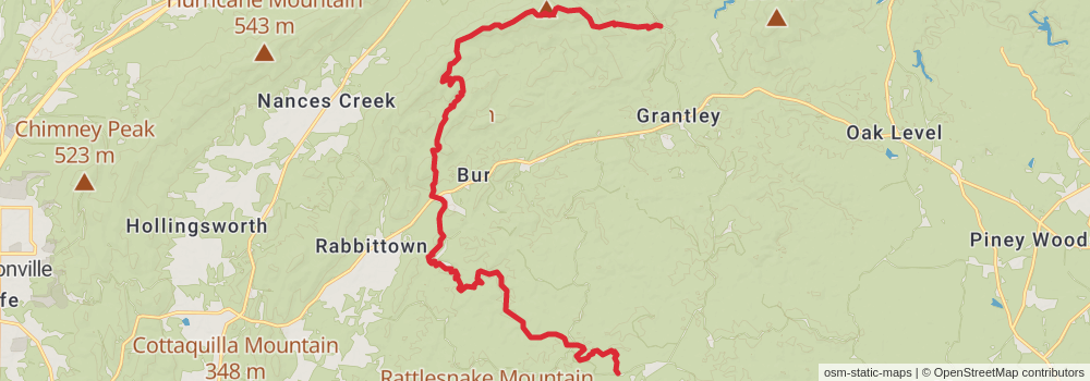
Starting at: Edwardsville, Cleburne County, 36272
Ending at: Piedmont, Calhoun County, 36272
Distance: 26.4 km
Elevation gain: 904 m
Duration: 06:46:47
View on mapstage 81
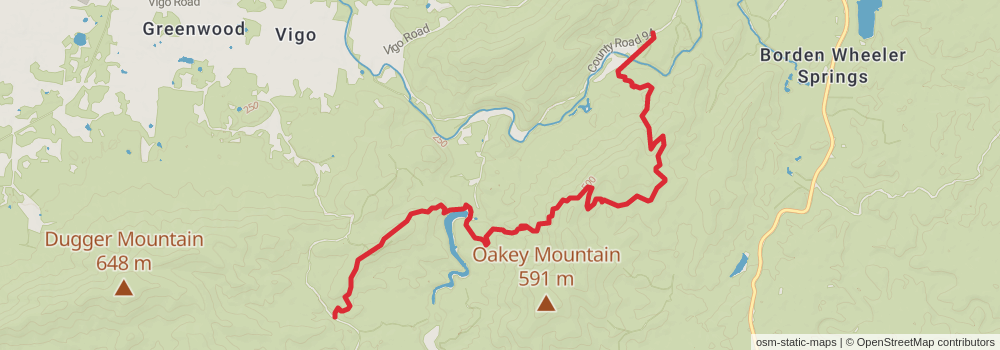
Starting at: Piedmont, Cleburne County, 36272
Ending at: Edwardsville, Cherokee County, 36272
Distance: 12.8 km
Elevation gain: 662 m
Duration: 03:39:22
View on mapstage 82
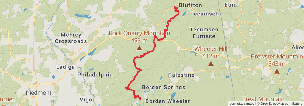
Starting at: Edwardsville, Cherokee County, 36272
Ending at: Piedmont, Cherokee County, 36272
Distance: 19.7 km
Elevation gain: 910 m
Duration: 05:27:53
View on mapstage 83
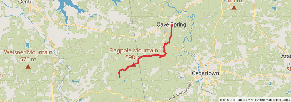
Starting at: Piedmont, Cherokee County, 36272
Ending at: Cave Spring, Floyd County, 30124
Distance: 25.6 km
Elevation gain: 835 m
Duration: 06:30:29
View on mapstage 84
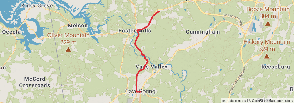
Starting at: Cave Spring, Floyd County, 30124
Ending at: Rome, Floyd County, 30161
Distance: 11.5 km
Elevation gain: 126 m
Duration: 02:30:36
View on mapstage 85
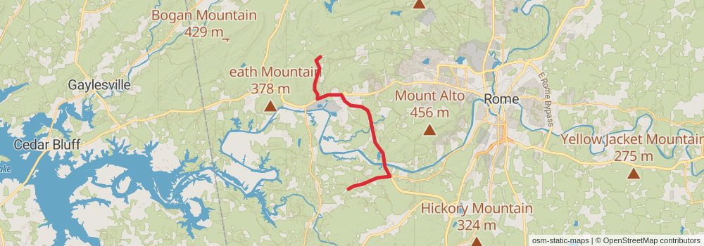
Starting at: Rome, Floyd County, 30161
Ending at: Rome, Floyd County, 30165
Distance: 19.7 km
Elevation gain: 286 m
Duration: 04:25:14
View on mapstage 86
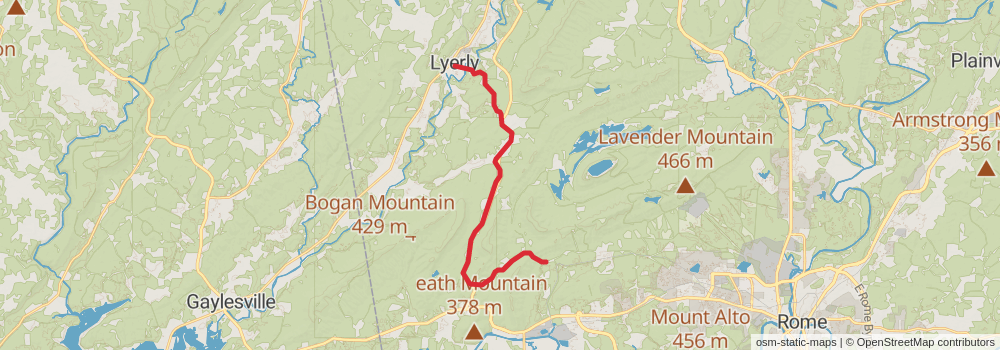
Starting at: Rome, Floyd County, 30165
Ending at: Lyerly, Chattooga County, 30730
Distance: 23.0 km
Elevation gain: 219 m
Duration: 04:58:22
View on mapstage 87
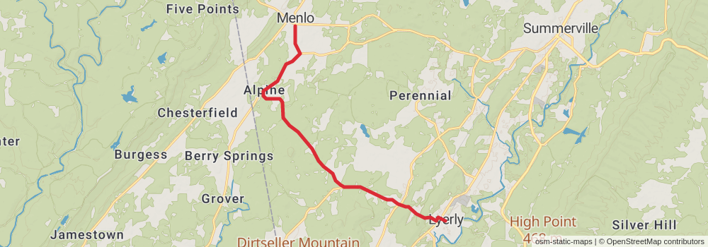
Starting at: Lyerly, Chattooga County, 30730
Ending at: Menlo, Chattooga County, 30731
Distance: 14.9 km
Elevation gain: 182 m
Duration: 03:16:57
View on mapstage 88
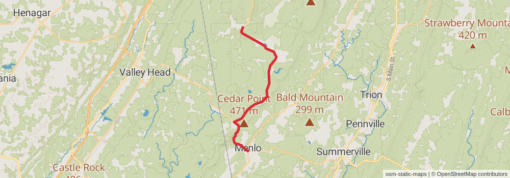
Starting at: Menlo, Chattooga County, 30731
Ending at: Menlo, Walker County, 30731
Distance: 21.8 km
Elevation gain: 543 m
Duration: 05:16:05
View on mapstage 89
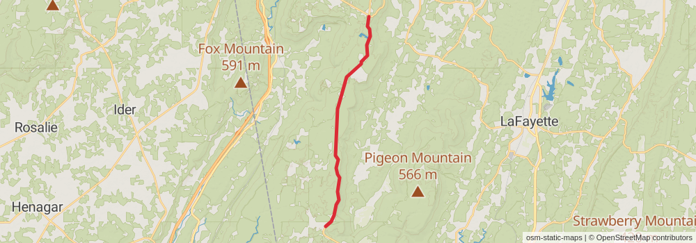
Starting at: Menlo, Walker County, 30731
Ending at: Rising Fawn, Walker County, 30738
Distance: 20.6 km
Elevation gain: 322 m
Duration: 04:38:57
View on mapstage 90
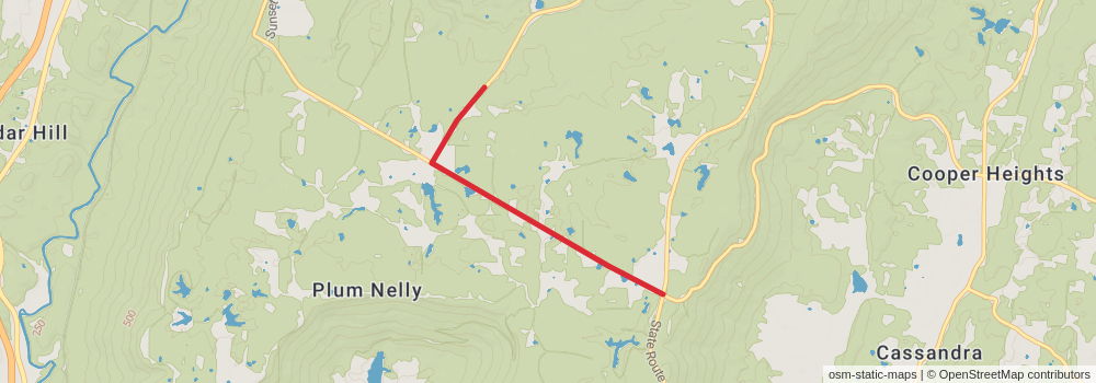
Starting at: Rising Fawn, Walker County, 30738
Ending at: Rising Fawn, Dade County, 30738
Distance: 5.2 km
Elevation gain: 52 m
Duration: 01:07:40
View on map