American Perimeter Trail - The South Primary trail stages
stage 31
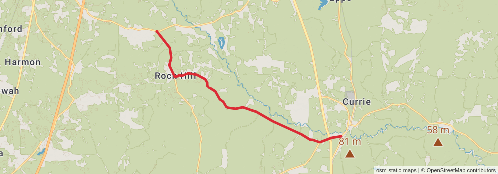
Starting at: Purvis, Forrest County, 39475
Ending at: Brooklyn, Forrest County, 39425
Distance: 16.1 km
Elevation gain: 84 m
Duration: 03:21:49
View on mapstage 32
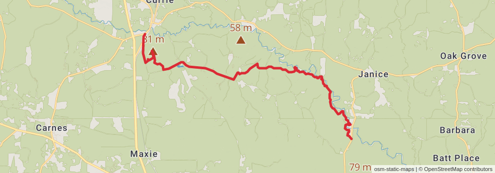
Starting at: Brooklyn, Forrest County, 39425
Ending at: Brooklyn, Perry County, 39425
Distance: 24.4 km
Elevation gain: 294 m
Duration: 05:22:20
View on mapstage 33
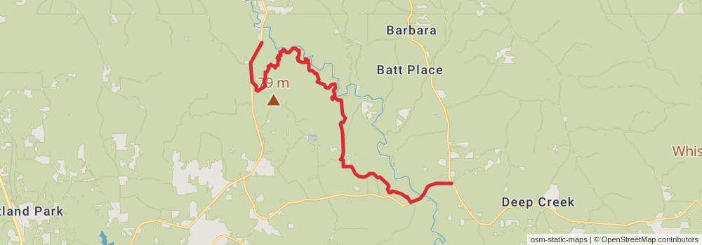
Starting at: Brooklyn, Perry County, 39425
Ending at: Wiggins, Perry County, 39577
Distance: 22.3 km
Elevation gain: 259 m
Duration: 04:53:41
View on mapstage 34
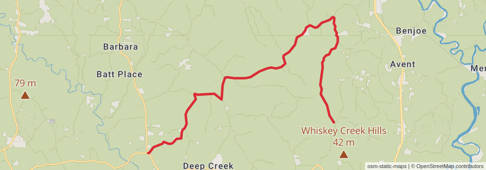
Starting at: Wiggins, Perry County, 39577
Ending at: George County, 39452
Distance: 27.4 km
Elevation gain: 218 m
Duration: 05:50:34
View on mapstage 35
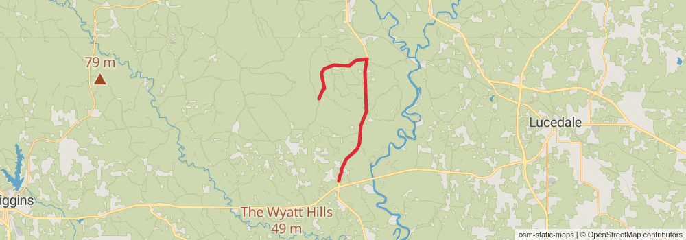
Starting at: Lucedale, George County, 39452
Ending at: Lucedale, George County, 39452
Distance: 20.4 km
Elevation gain: 168 m
Duration: 04:21:21
View on mapstage 36
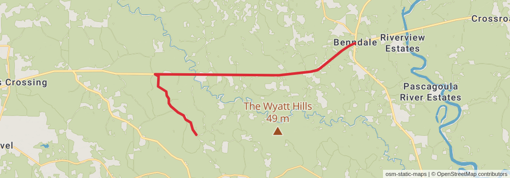
Starting at: Chevron, Lucedale, George County, 39452
Ending at: Perkinston, Stone County, 39573
Distance: 18.7 km
Elevation gain: 117 m
Duration: 03:56:03
View on mapstage 37
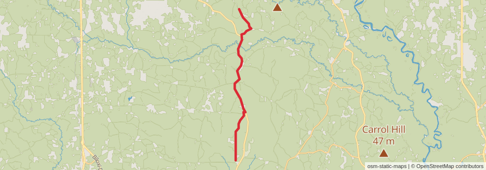
Starting at: Wiggins, Stone County, 39577
Ending at: Saucier, Harrison County, 39574
Distance: 23.6 km
Elevation gain: 170 m
Duration: 05:00:29
View on mapstage 38
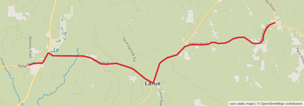
Starting at: Saucier, Harrison County, 39574
Ending at: Vancleave, Jackson County, 39565
Distance: 16.1 km
Elevation gain: 115 m
Duration: 03:24:47
View on mapstage 39
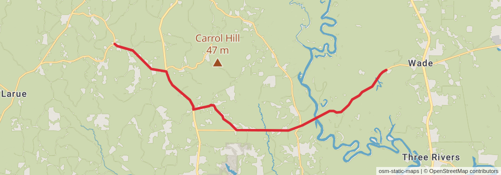
Starting at: Vancleave, Jackson County, 39565
Ending at: Wade, Jackson County, 39562
Distance: 22.2 km
Elevation gain: 128 m
Duration: 04:38:47
View on mapstage 40
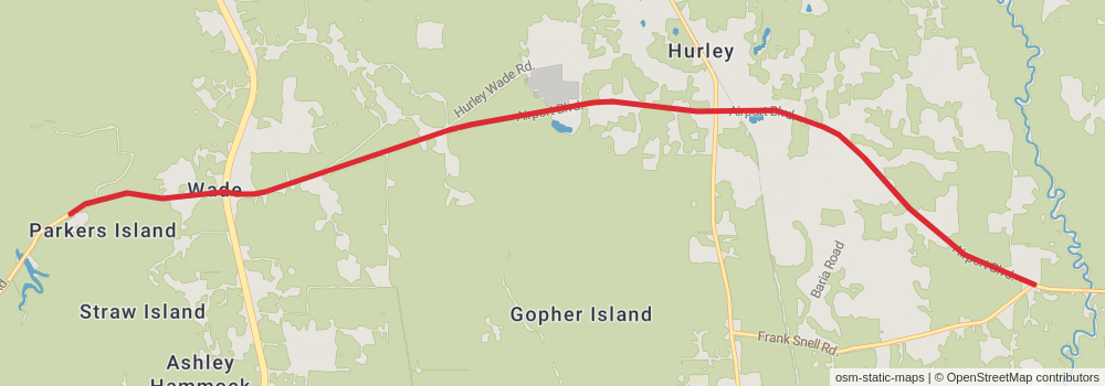
Starting at: Wade, Jackson County, 39562
Ending at: Hurley, Jackson County, 39562
Distance: 15.6 km
Elevation gain: 86 m
Duration: 03:15:19
View on mapstage 41
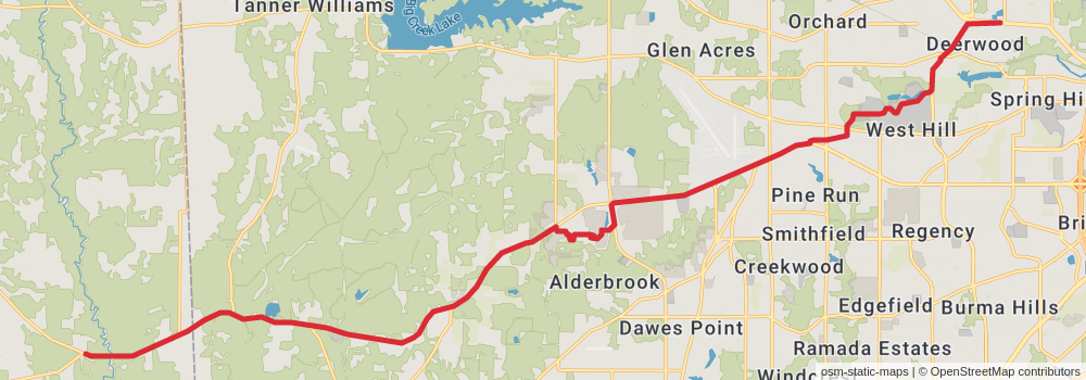
Starting at: Hurley, Jackson County, 39562
Ending at: Mobile, Mobile County, 36618
Distance: 34.2 km
Elevation gain: 271 m
Duration: 07:18:06
View on mapstage 42
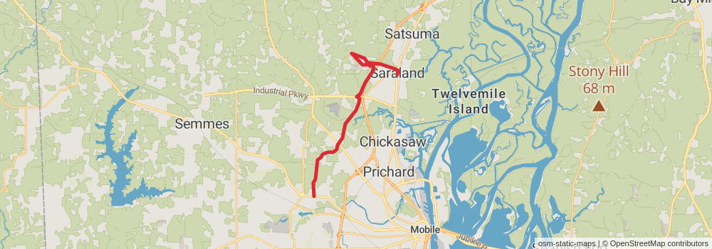
Starting at: Mobile, Mobile County, 36618
Ending at: Saraland, Mobile County, 36571
Distance: 22.4 km
Elevation gain: 96 m
Duration: 04:38:05
View on mapstage 43
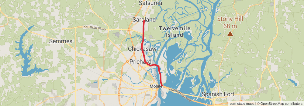
Starting at: Pine Wood, Saraland, Mobile County, 36571
Ending at: Mobile, Mobile County, 36603
Distance: 17.1 km
Elevation gain: 53 m
Duration: 03:30:30
View on mapstage 44
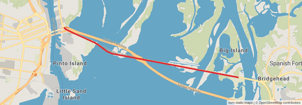
Starting at: Mobile, Mobile County, 36603
Ending at: Spanish Fort, Baldwin County, 36527
Distance: 10.1 km
Elevation gain: 1 m
Duration: 02:01:37
View on mapstage 45
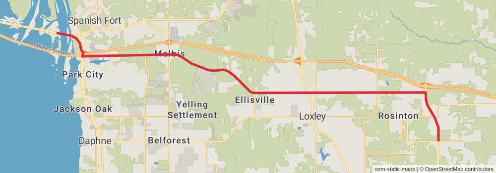
Starting at: Spanish Fort, Baldwin County, 36527
Ending at: Robertsdale, Baldwin County, 36567
Distance: 29.7 km
Elevation gain: 265 m
Duration: 06:22:44
View on mapstage 46
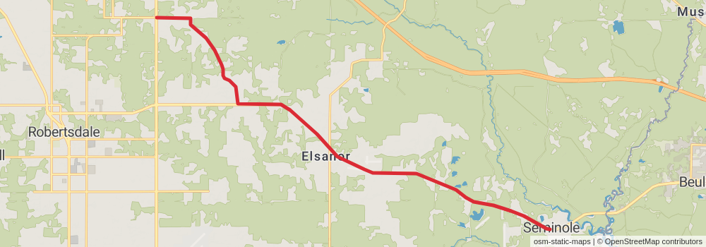
Ending at: Seminole, Baldwin County, 36574
Distance: 22.8 km
Elevation gain: 128 m
Duration: 04:46:06
View on mapstage 47
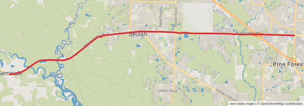
Starting at: Ace Title Loan, Seminole, Baldwin County, 36574
Ending at: Pensacola, Escambia County, 32534
Distance: 16.2 km
Elevation gain: 92 m
Duration: 03:23:28
View on mapstage 48
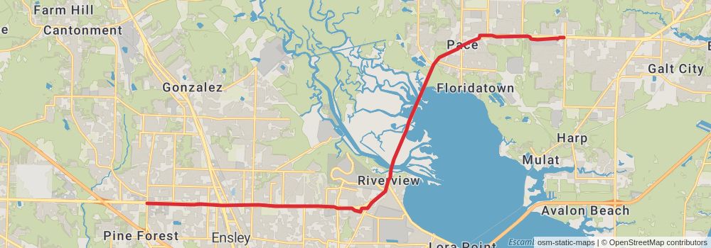
Starting at: Pensacola, Escambia County, 32534
Ending at: Pace, Santa Rosa County, 32571
Distance: 25.1 km
Elevation gain: 120 m
Duration: 05:13:18
View on mapstage 49
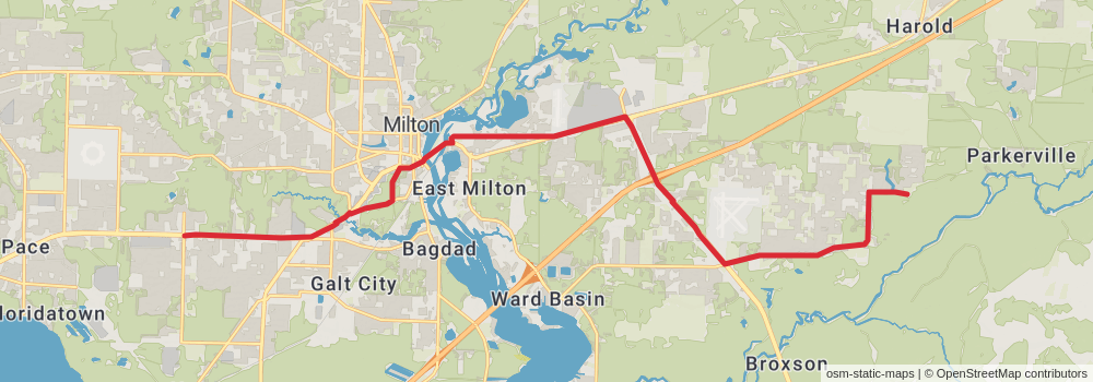
Starting at: Pea Ridge, Santa Rosa County, 32571
Ending at: Milton, Santa Rosa County, 32583
Distance: 27.6 km
Elevation gain: 99 m
Duration: 05:41:29
View on mapstage 50
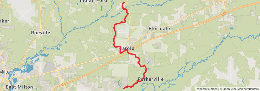
Starting at: Milton, Santa Rosa County, 32583
Ending at: Holt, Santa Rosa County, 32564
Distance: 20.7 km
Elevation gain: 200 m
Duration: 04:28:36
View on mapstage 51
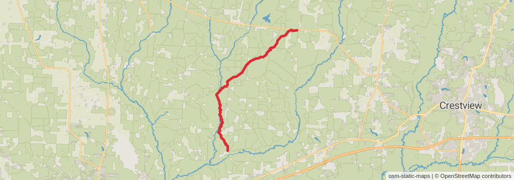
Starting at: Holt, Santa Rosa County, 32564
Ending at: Baker, Okaloosa County, 32531
Distance: 24.1 km
Elevation gain: 250 m
Duration: 05:14:42
View on mapstage 52
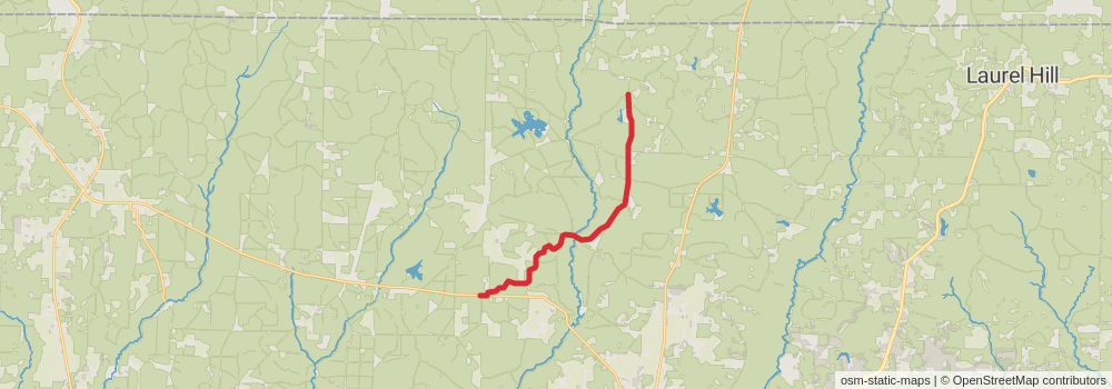
Starting at: Baker, Okaloosa County, 32531
Ending at: Baker, Okaloosa County, 32531
Distance: 19.1 km
Elevation gain: 233 m
Duration: 04:12:13
View on mapstage 53
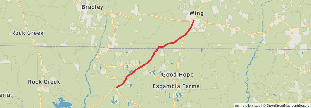
Starting at: Baker, Okaloosa County, 32531
Ending at: Wing, Covington County, 36483
Distance: 11.4 km
Elevation gain: 98 m
Duration: 02:26:32
View on mapstage 54
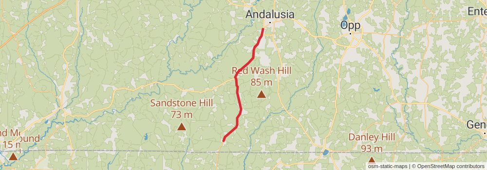
Starting at: Wing, Covington County, 36483
Ending at: Andalusia, Covington County, 36420
Distance: 34.5 km
Elevation gain: 291 m
Duration: 07:23:08
View on mapstage 55
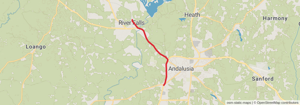
Starting at: Andalusia, Covington County, 36421
Ending at: River Falls, Covington County, 36421
Distance: 8.8 km
Elevation gain: 49 m
Duration: 01:50:56
View on mapstage 56
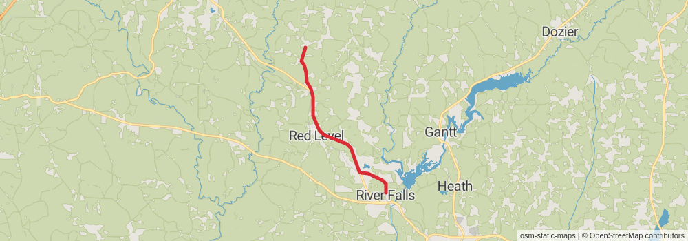
Starting at: River Falls, Covington County, 36421
Ending at: Red Level, Covington County, 36474
Distance: 17.8 km
Elevation gain: 257 m
Duration: 03:59:36
View on mapstage 57
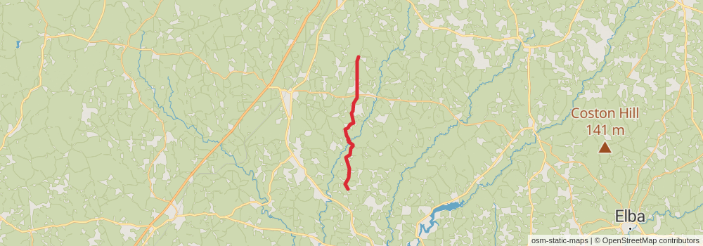
Starting at: Red Level, Covington County, 36474
Ending at: Georgiana, Butler County, 36033
Distance: 27.7 km
Elevation gain: 342 m
Duration: 06:07:05
View on mapstage 58
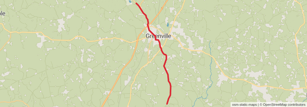
Starting at: Georgiana, Butler County, 36033
Ending at: Greenville, Butler County, 36037
Distance: 24.9 km
Elevation gain: 208 m
Duration: 05:19:50
View on mapstage 59
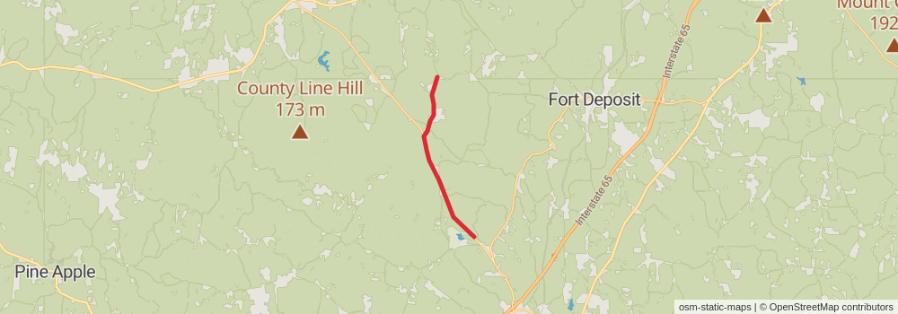
Ending at: Fort Deposit, Lowndes County, 36032
Distance: 12.9 km
Elevation gain: 94 m
Duration: 02:43:56
View on mapstage 60
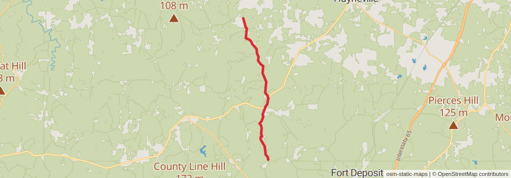
Starting at: Fort Deposit, Lowndes County, 36032
Ending at: Gordonville, Lowndes County, 36785
Distance: 20.1 km
Elevation gain: 218 m
Duration: 04:22:37
View on map