Appalachian Trail - Virginia trail stages
stage 31
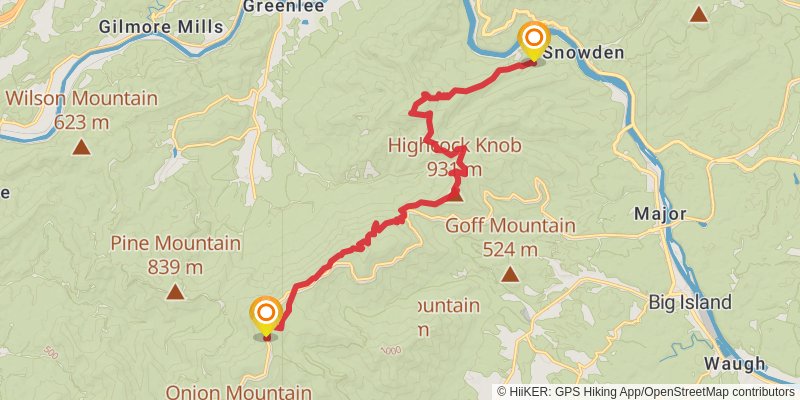
Starting at: Curtis, Bedford County, 24523
Distance: 19.8 km
Elevation gain: 689 m
Duration: 05:06:50
stage 32
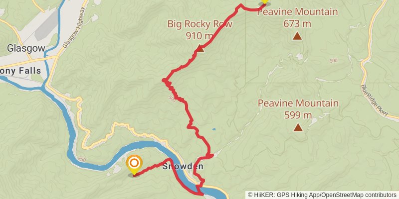
Starting at: Matts Creek Shelter, Glasgow, Bedford County, 24526
Ending at: Buena Vista, Rockbridge County, 24416
Distance: 13.4 km
Elevation gain: 927 m
Duration: 04:13:11
stage 33
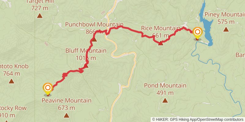
Starting at: Rockbridge County, 24416
Ending at: Monroe, Amherst County, 24574
Distance: 13.0 km
Elevation gain: 545 m
Duration: 03:30:01
stage 34
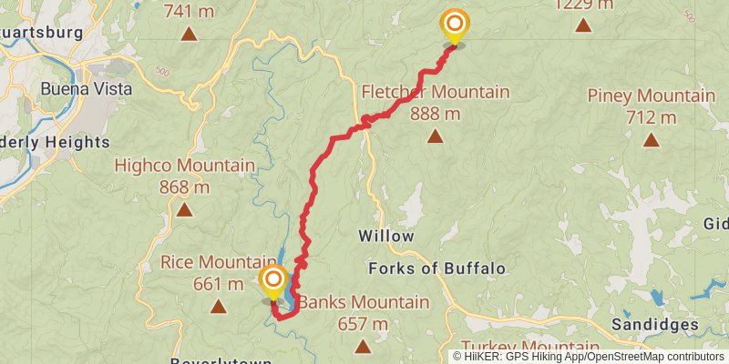
Starting at: Beverlytown, Monroe, Amherst County, 24574
Ending at: Amherst, Amherst County, 24521
Distance: 16.1 km
Elevation gain: 1275 m
Duration: 05:20:47
stage 35
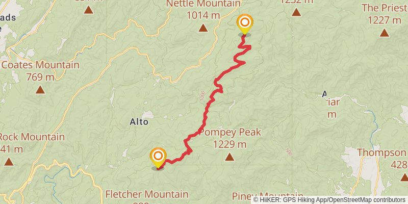
Starting at: Oronoco, Amherst County, 24521
Ending at: Montebello, Amherst County, 24464
Distance: 15.4 km
Elevation gain: 781 m
Duration: 04:23:15
stage 36
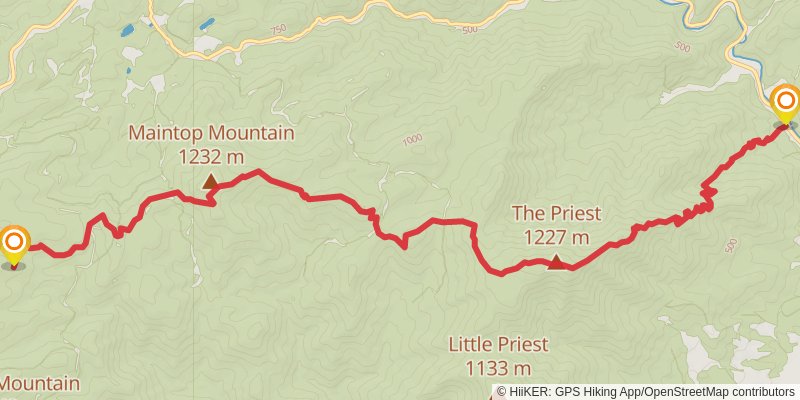
stage 37
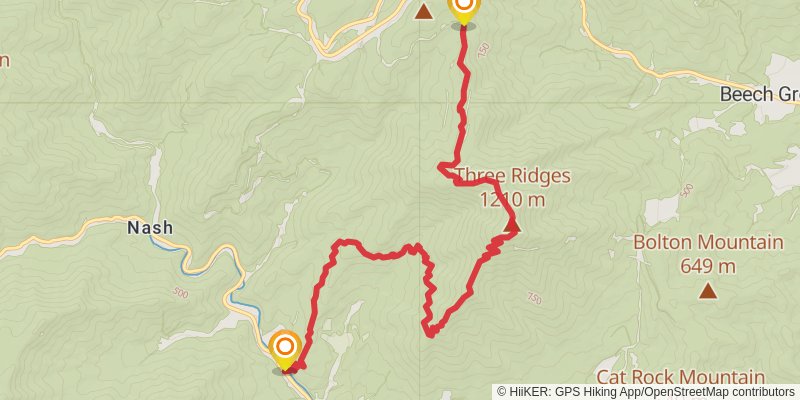
stage 38
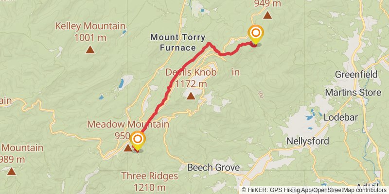
Ending at: Nellysford, Nelson County, 22958
Distance: 13.2 km
Elevation gain: 707 m
Duration: 03:49:33
stage 39
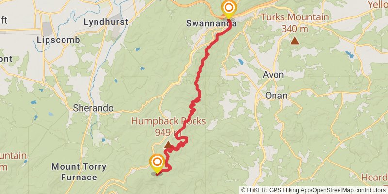
Starting at: Nelson County, 22958
Ending at: Waynesboro, Nelson County, 22952
Distance: 17.9 km
Elevation gain: 626 m
Duration: 04:37:54
stage 40
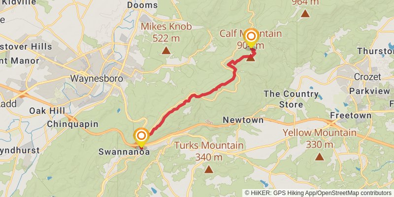
Starting at: Waynesboro, Nelson County, 22952
Ending at: Waynesboro, Augusta County, 22980
Distance: 11.8 km
Elevation gain: 684 m
Duration: 03:30:04
stage 41
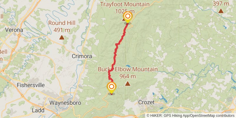
Starting at: Waynesboro, Augusta County, 22980
Ending at: Crozet, Albemarle County, 22932
Distance: 19.9 km
Elevation gain: 1019 m
Duration: 05:40:08
stage 42
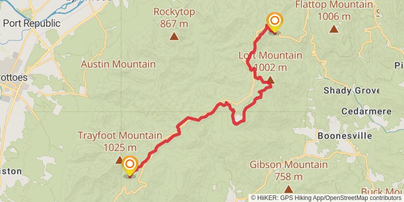
Starting at: Blackrock Hut, Crozet, Albemarle County, 22932
Ending at: Free Union, Rockingham County, 22940
Distance: 20.8 km
Elevation gain: 965 m
Duration: 05:45:34
stage 43
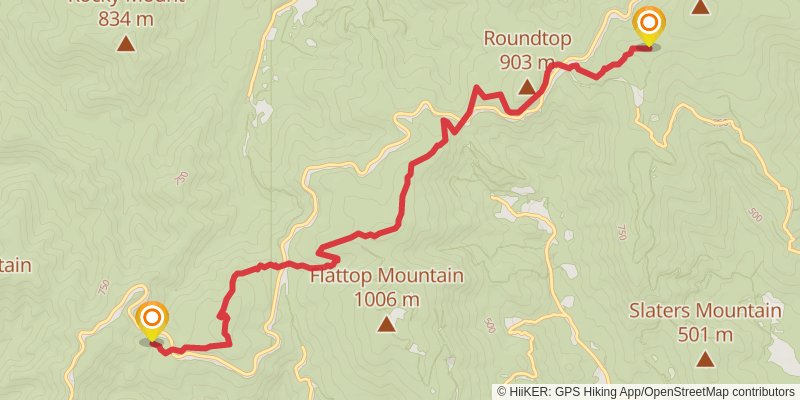
Starting at: Pinefield Hut, Free Union, Greene County, 22940
Ending at: Dyke, Rockingham County, 22935
Distance: 12.9 km
Elevation gain: 780 m
Duration: 03:52:20
stage 44
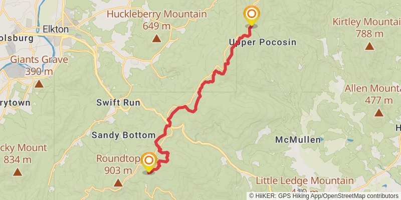
Starting at: Sandy Bottom, Harrisonburg, Rockingham County, 22973
Ending at: Stanardsville, Greene County, 22973
Distance: 15.7 km
Elevation gain: 815 m
Duration: 04:30:15
stage 45
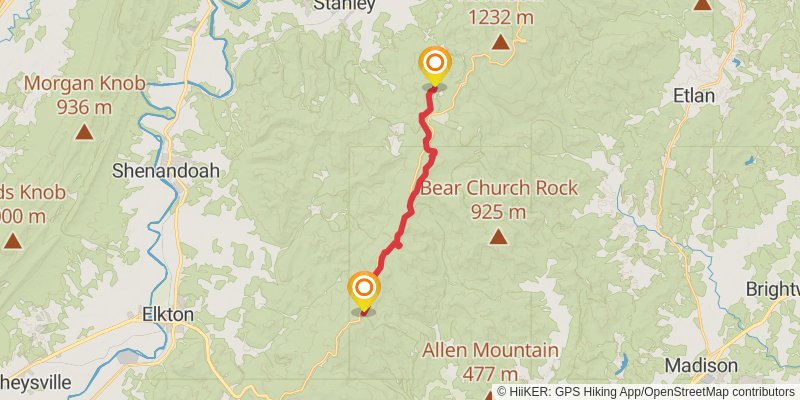
Starting at: Pocosin Cabin, Stanardsville, Greene County, 22973
Ending at: Stanley, Page County, 22851
Distance: 17.6 km
Elevation gain: 767 m
Duration: 04:47:23
stage 46
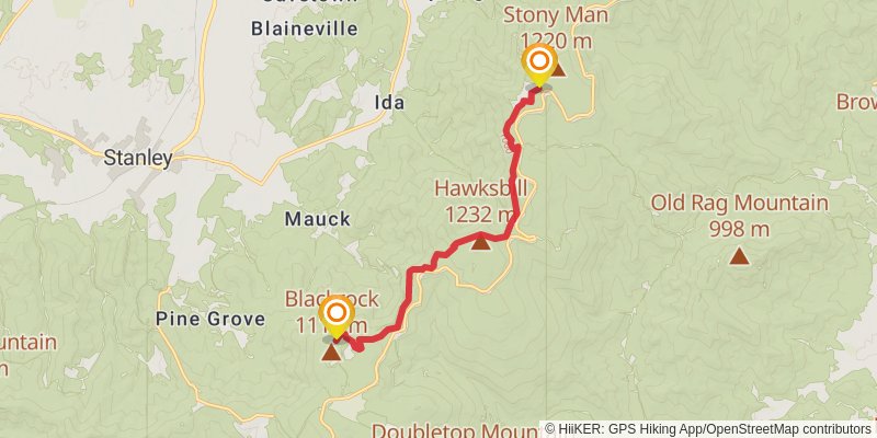
Starting at: Stanley, Page County, 22851
Ending at: Luray, Page County, 22835
Distance: 12.7 km
Elevation gain: 692 m
Duration: 03:41:14
stage 47
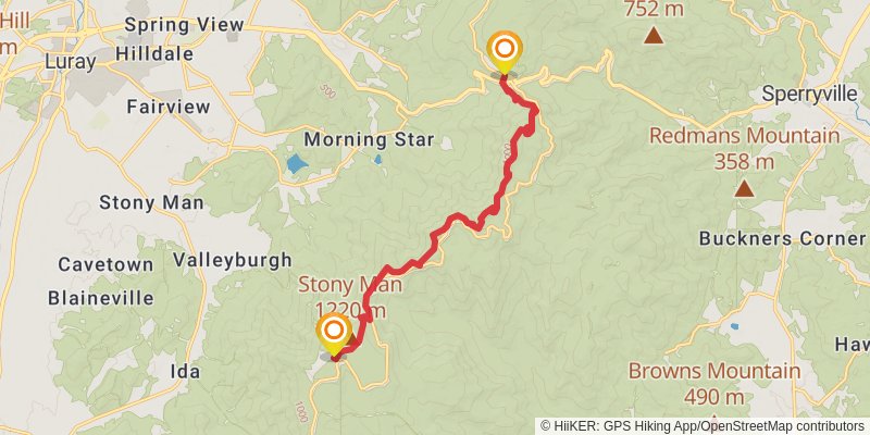
Starting at: Stony Man Parking, Luray, Page County, 22835
Ending at: Luray, Page County, 22835
Distance: 14.4 km
Elevation gain: 754 m
Duration: 04:08:49
stage 48
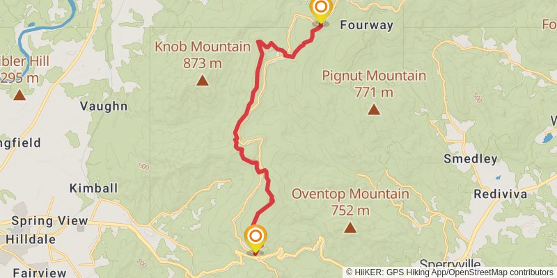
Starting at: Luray, Page County, 22835
Ending at: Sperryville, Rappahannock County, 22740
Distance: 15.9 km
Elevation gain: 841 m
Duration: 04:35:14
stage 49
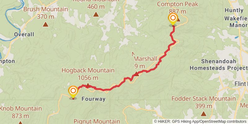
Starting at: Rattlesnake Point, Sperryville, Page County, 22740
Ending at: Chester Gap, Rappahannock County, 22610
Distance: 16.6 km
Elevation gain: 659 m
Duration: 04:25:10
stage 50
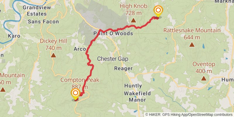
Starting at: Chester Gap, Rappahannock County, 22610
Ending at: Apple Mountain Lake, Warren County, 22642
Distance: 18.5 km
Elevation gain: 647 m
Duration: 04:47:06
stage 51
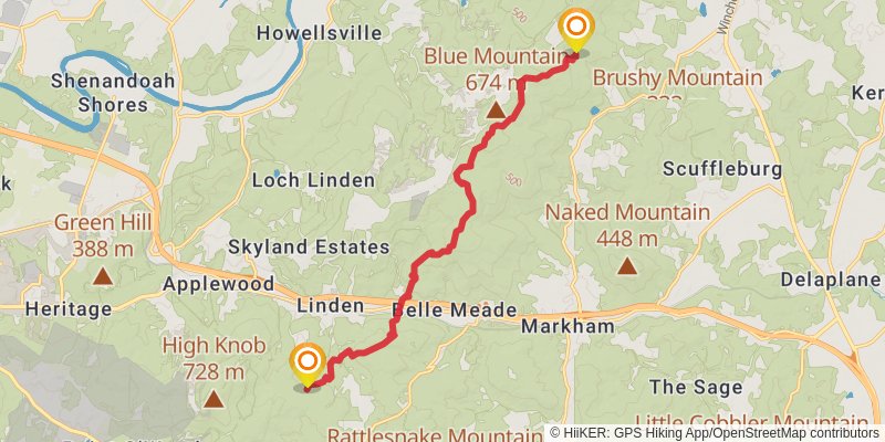
Ending at: Shenandoah Farms, Fauquier County, 22642
Distance: 15.4 km
Elevation gain: 734 m
Duration: 04:18:39
stage 52
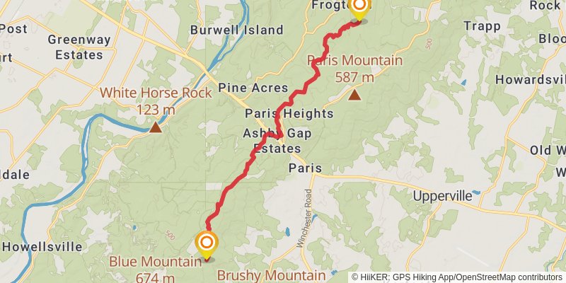
Ending at: Bluemont, Clarke County, 20135
Distance: 15.9 km
Elevation gain: 751 m
Duration: 04:25:27
stage 53
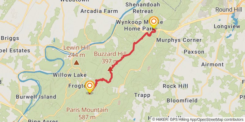
Starting at: Paris Heights, Clarke County, 20135
Ending at: Shenandoah Retreat, Clarke County, 20135
Distance: 12.7 km
Elevation gain: 846 m
Duration: 03:56:59
stage 54
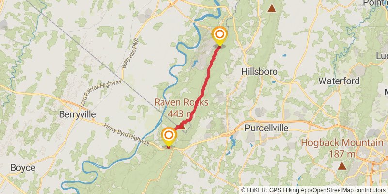
Starting at: Shenandoah Retreat, Clarke County, 20135
Ending at: Shannondale, Jefferson County, 20132
Distance: 16.4 km
Elevation gain: 759 m
Duration: 04:32:47
stage 55
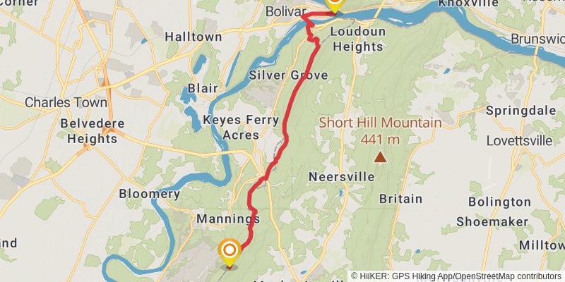
Ending at: Harpers Ferry, Jefferson County, 25425
Distance: 14.7 km
Elevation gain: 340 m
Duration: 03:29:56