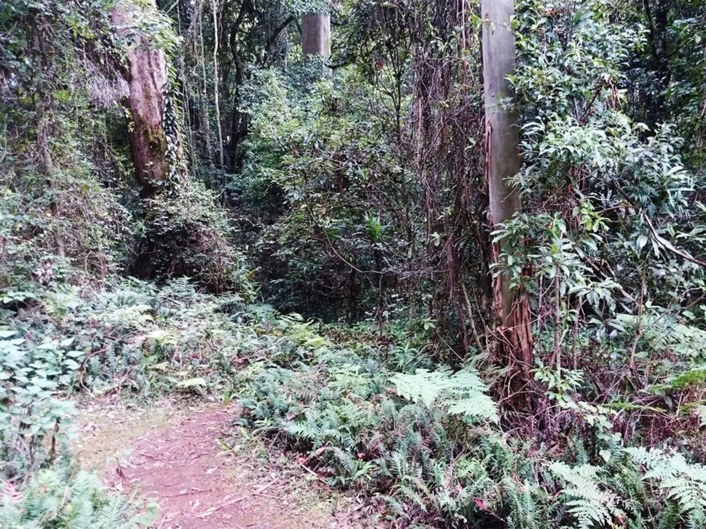
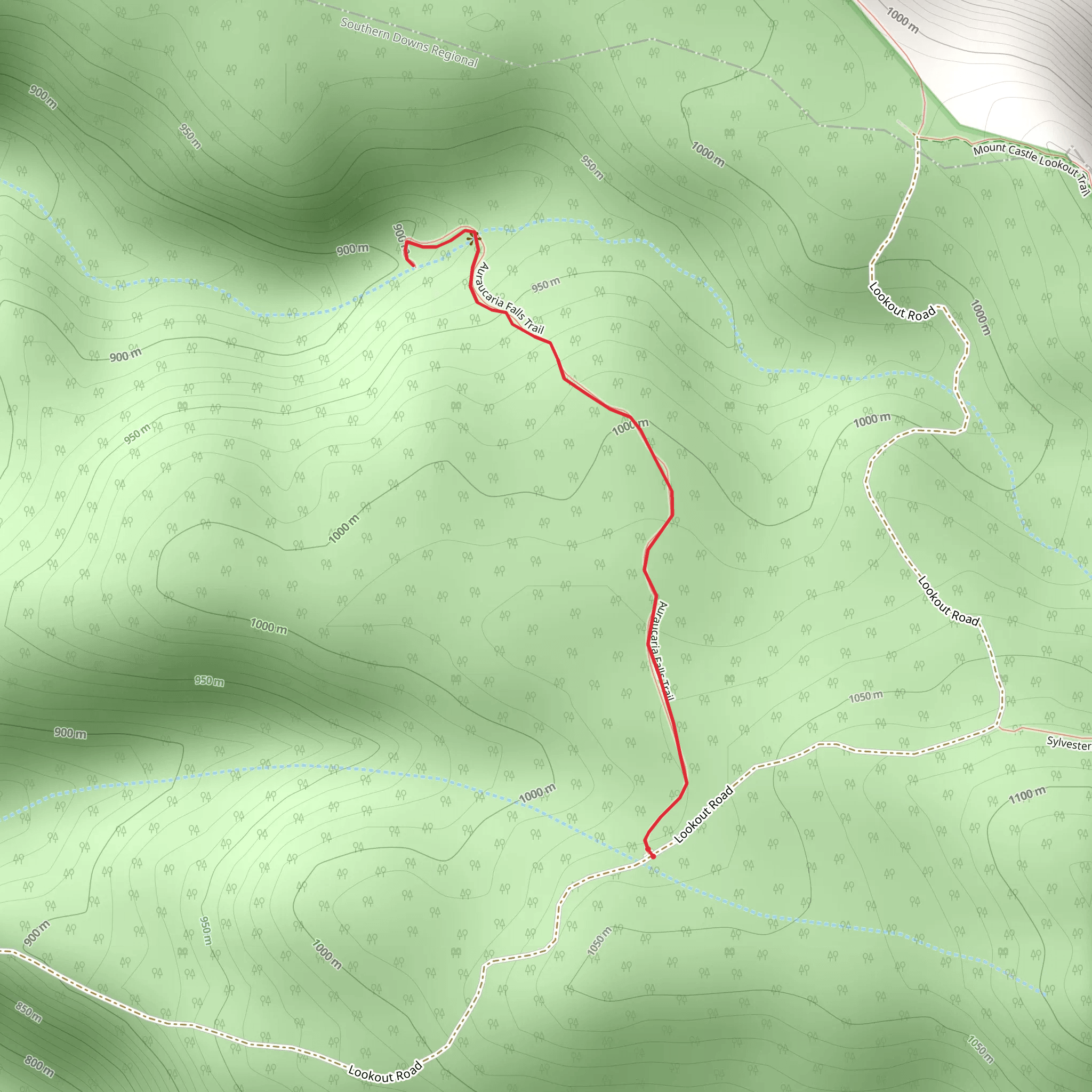
This two-mile trail is in the Gommburra part of Main Range National Park, Queensland, about 110 miles southwest of Brisbane. It can be reached from both the Cunningham Highway and the New England Highway and is accessed by Inverramsay Road, then Forestry Reserve Road to the park entrance. The track begins from Lookout Road about 2 miles from the Kurrajong picnic area. Here there are free wood barbeques to use (bring your own wood) and parking. There is a creek crossing which in low water is doable with a normal car although a 4x4 would be needed in wetter weather. Otherwise, it can be hiked to from the picnic area. The track descends to the base of the waterfalls and then returns via the same path and it is well-defined and easy to navigate although it can become muddy after heavy rain. Starting off level it then descends to the falls crossing over the top of them. To get the best view, continue up the stairs. On the other side, the trail goes down steeply and there are exposed roots and rocks at the base of the falls. At the bottom, there are pools to take a dip in or just relax beside before the climb back up.Not suitable for wheelchairs or pushchairs this trail is graded as Difficult. For information on how we grade trails, please click here. It will take about an hour and a quarter to complete, although caution is advised on trial times as this depends on multiple variables. For more info, click here. This park is part of the Gondwana Rainforests of Australia World Heritage Area, known for its ongoing geological processes, evolutionary history, and high species diversity for this reason dogs are not permitted in the park. Photo Credit :parks.des.qld.gov.au