The best hikes in Umatilla County
Oregon · 24 HiiKER Hikes
View Hikes on map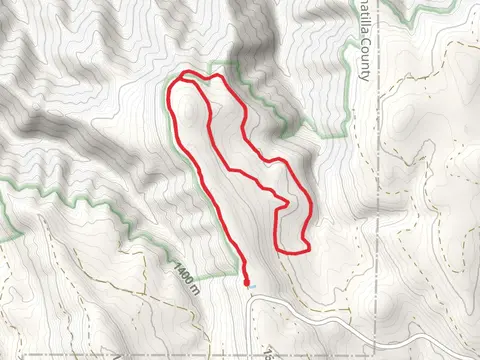
What to expect
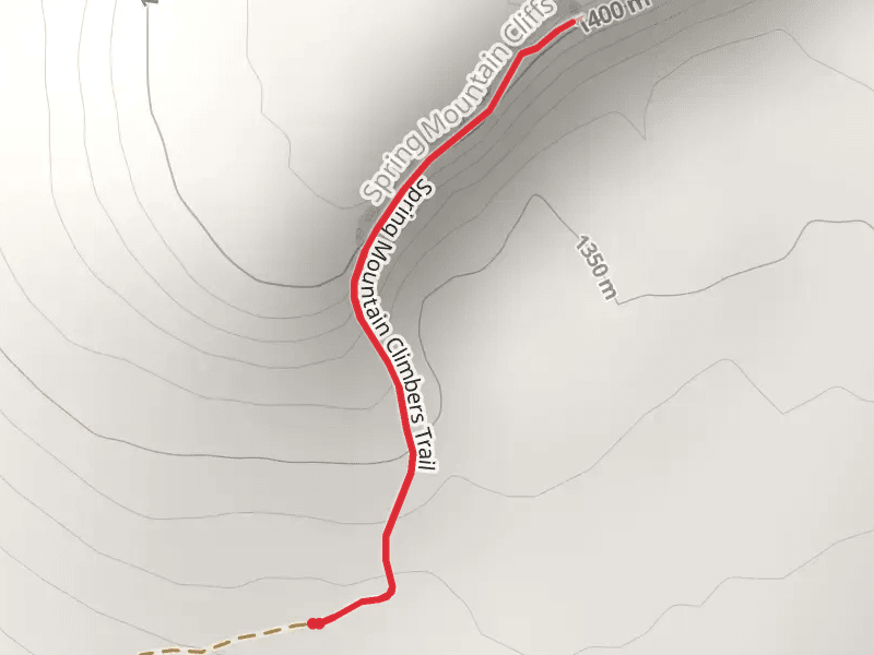
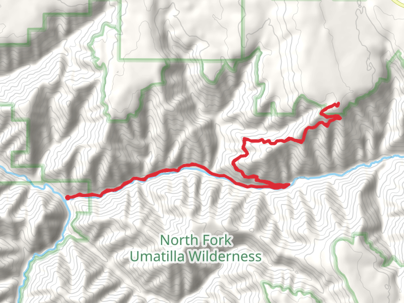
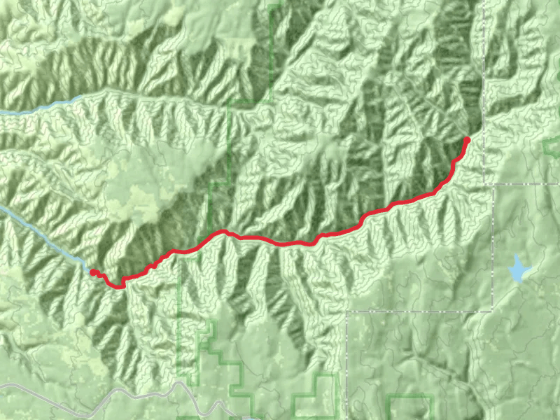
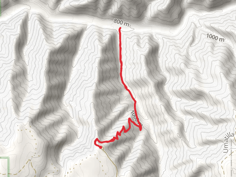
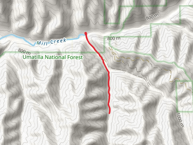
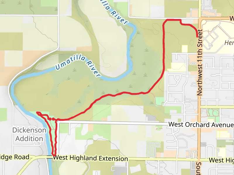
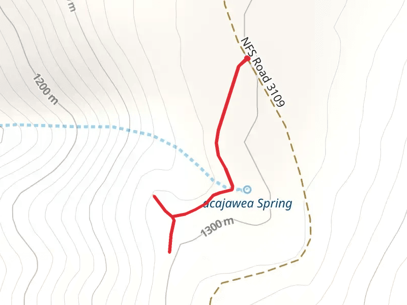
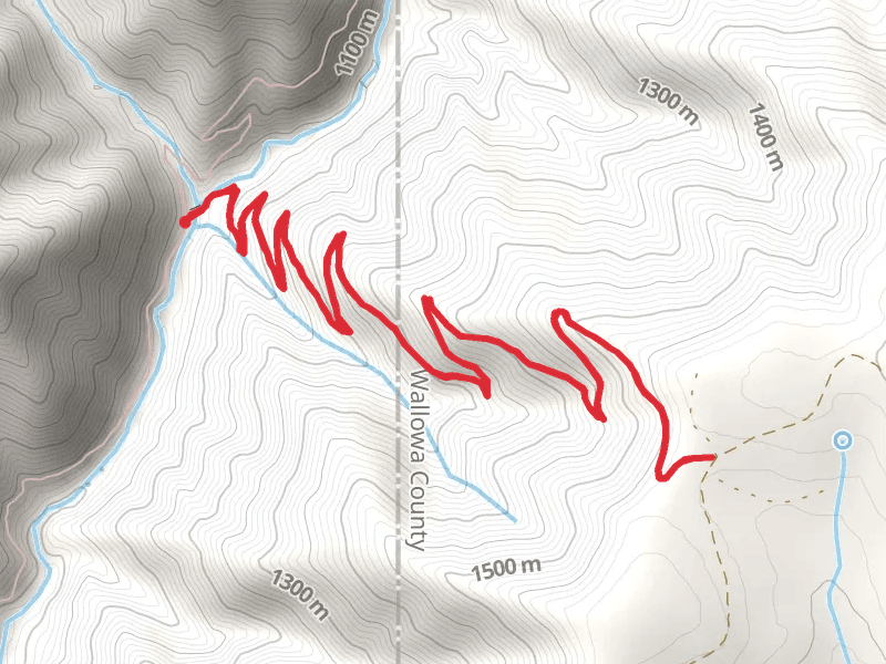
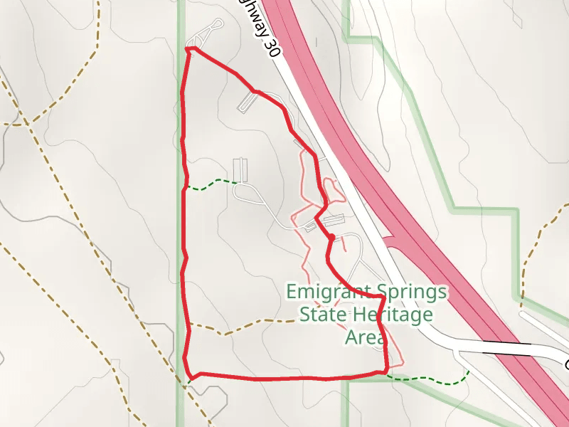
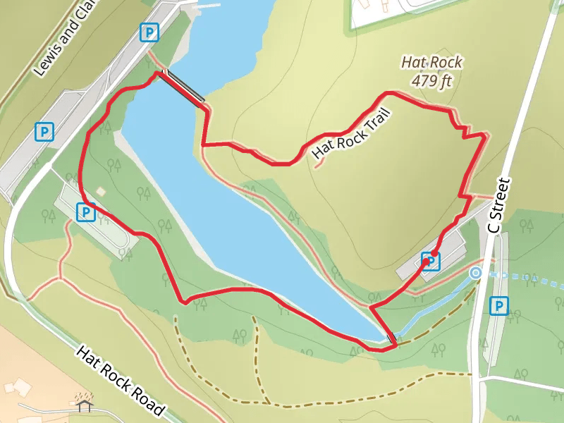
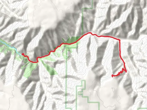
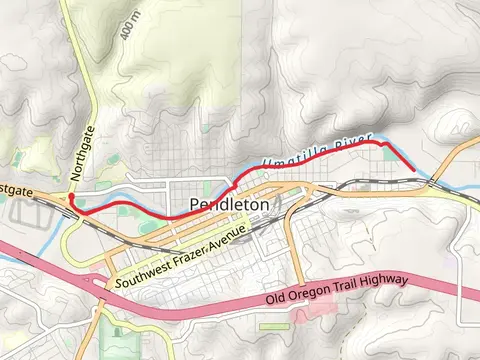
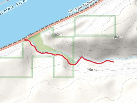
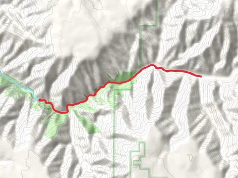
Check out some of the best hiking, walking and backpacking routes in Umatilla County, Oregon. The Spring Mountain Climbers Trail is the most popular trail. There are trails of various difficulty levels including easy and medium. The trail with the highest elevation climb is the Indian Ridge Trail - Short and the trail with the least amount of climbing is the Hat Rock Loop. The longest trail is the Tiger Canyon Road at 30.7 km. For a shorter adventure you can try the Sacajawea Spring Overlook at 903 m. Get off line access to Shop, Restaurant, Peak, and Water locations and much more with a Hiiker subscription.

Be prepared for hiking in Oregon with the HiiKER app