Download
Preview
Add to list
More
14.2 km
~4 hrs 30 min
999 m
Out and Back
“Embark on the Indian Ridge Trail for a scenic, medium-difficulty adventure through Oregon's lush wilderness.”
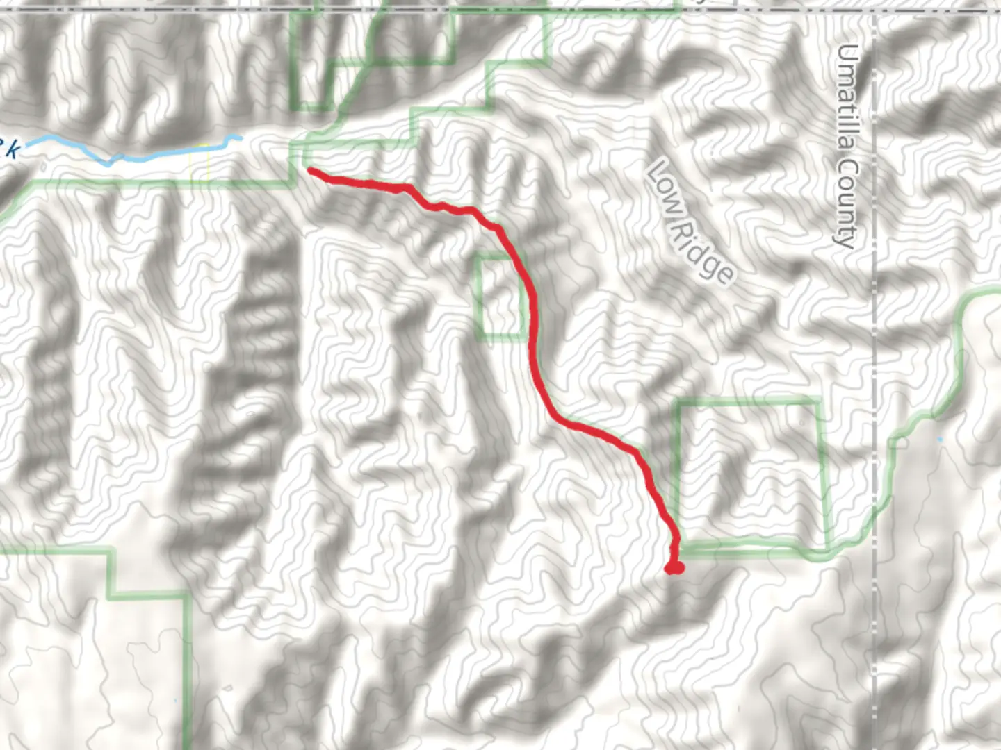
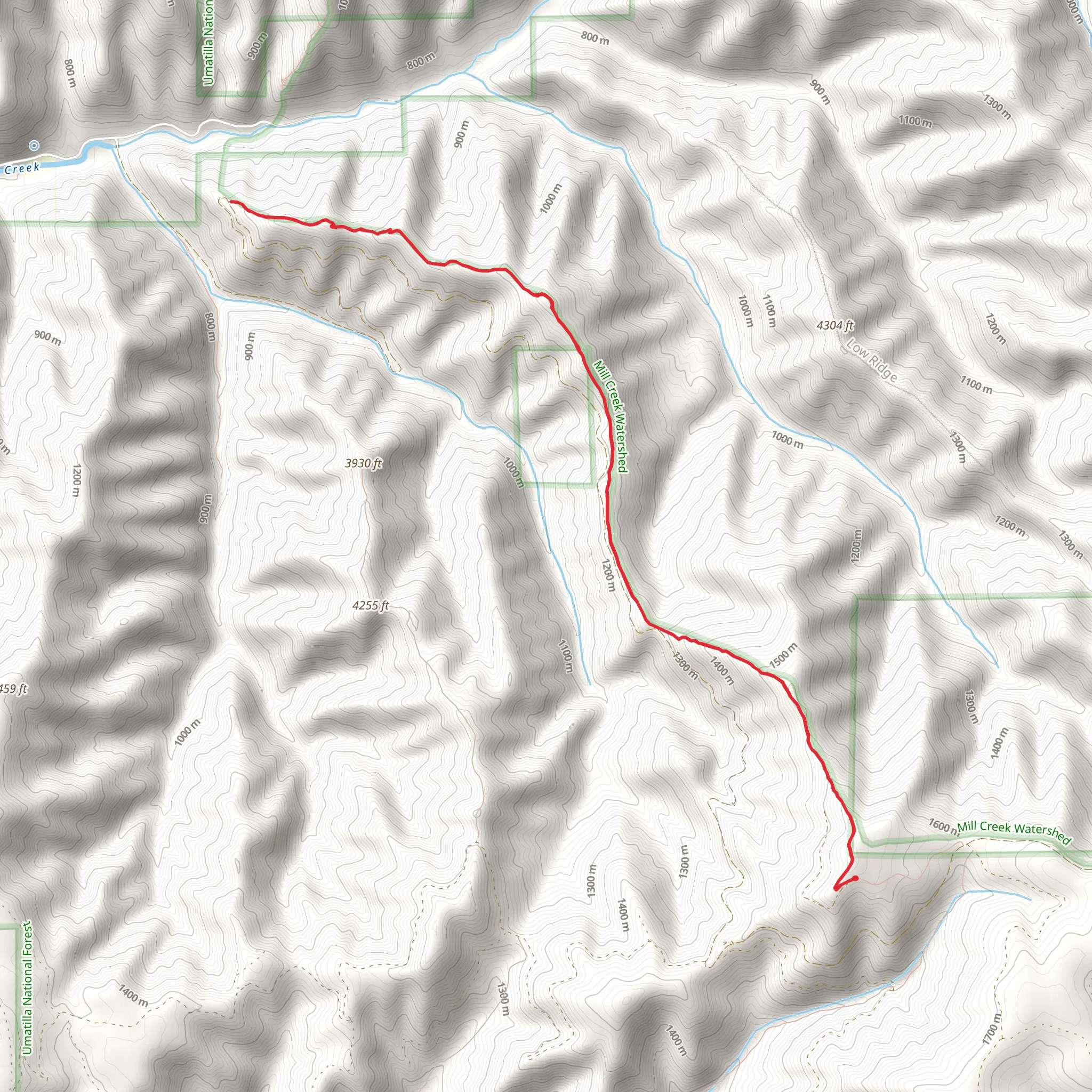
Starting near Umatilla County, Oregon, the Indian Ridge Trail - Short is an invigorating out-and-back hike that spans approximately 14 kilometers (around 8.7 miles) with an elevation gain of about 900 meters (roughly 2,950 feet). This trail is rated as medium difficulty, making it suitable for hikers with some experience and a good level of fitness.
Getting There To reach the trailhead, you can drive or use public transport. If driving, head towards Umatilla County, Oregon, and look for the nearest significant landmark, which is the Umatilla National Forest. The trailhead is accessible from the forest's main entrance. For those using public transport, the nearest bus stop is in Pendleton, Oregon. From Pendleton, you can take a taxi or rideshare service to the trailhead, which is approximately a 45-minute drive away.
Trail Overview The Indian Ridge Trail - Short begins with a gentle ascent through a dense forest of Douglas fir and Ponderosa pine. The first 2 kilometers (1.2 miles) are relatively easy, with an elevation gain of about 150 meters (492 feet). This section is perfect for warming up your legs and getting accustomed to the terrain.
Significant Landmarks and Nature As you progress, the trail becomes steeper, and you'll encounter a series of switchbacks. Around the 4-kilometer (2.5-mile) mark, you'll reach a scenic overlook that offers stunning views of the Blue Mountains. This is a great spot to take a break and enjoy the panoramic vistas.
Continuing on, the trail meanders through a mix of open meadows and forested areas. Keep an eye out for local wildlife, including deer, elk, and various bird species. The flora is equally impressive, with wildflowers blooming in the spring and summer months.
Historical Significance The region around the Indian Ridge Trail has a rich history. It was traditionally inhabited by the Cayuse, Umatilla, and Walla Walla tribes. These indigenous peoples used the area for hunting and gathering, and you may come across historical markers or interpretive signs that provide more information about their way of life.
Final Ascent The final 3 kilometers (1.9 miles) of the trail are the most challenging, with an elevation gain of approximately 400 meters (1,312 feet). This section requires careful navigation, and it's advisable to use the HiiKER app to stay on track. The trail can be narrow and rocky in places, so watch your footing.
Reaching the Summit Upon reaching the summit, you'll be rewarded with breathtaking views of the surrounding landscape. On a clear day, you can see as far as the Columbia River Plateau. This is the perfect spot to rest, have a snack, and take in the beauty of the Pacific Northwest.
Return Journey The return journey follows the same path, so you'll have the opportunity to revisit the scenic overlooks and perhaps spot some wildlife you missed on the way up. The descent is easier on the legs but still requires caution, especially on the steeper sections.
Preparation Tips Given the trail's medium difficulty, it's essential to come prepared. Wear sturdy hiking boots, bring plenty of water, and pack some high-energy snacks. Weather can be unpredictable, so dress in layers and carry a rain jacket. A map and compass are useful, but the HiiKER app will be invaluable for navigation.
This trail offers a fantastic mix of natural beauty, wildlife, and historical significance, making it a rewarding experience for any hiker.
What to expect?
Activity types
Comments and Reviews
User comments, reviews and discussions about the Indian Ridge Trail - Short, Oregon.
4.63
average rating out of 5
16 rating(s)
