Ouachita National Recreation Trail trail stages
stage 1
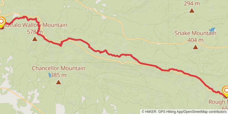
Ending at: Hodgen, Le Flore County, 74939
Distance: 34.3 km
Elevation gain: 1500 m
Duration: 09:21:44
stage 2
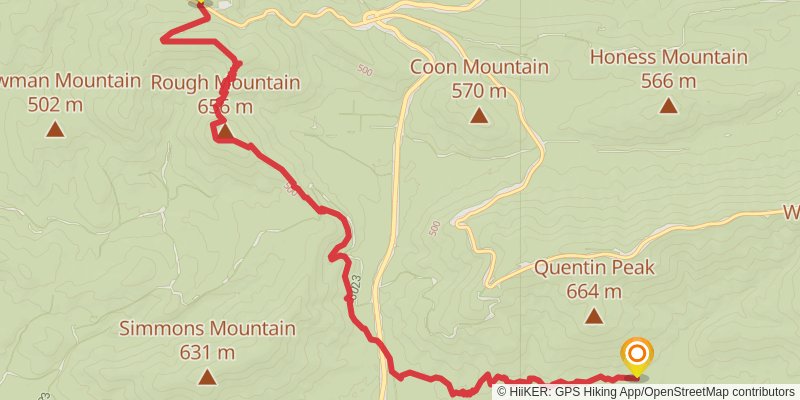
Starting at: Hodgen, Le Flore County, 74939
Distance: 15.6 km
Elevation gain: 561 m
Duration: 04:03:20
stage 3
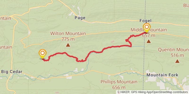
Starting at: Pashubbe Shelter, Hodgen, Le Flore County, 74939
Ending at: State Line Shelter, Mena, Polk County, 71953
Distance: 20.5 km
Elevation gain: 940 m
Duration: 05:39:23
stage 4
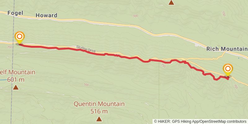
Starting at: State Line Shelter, Mena, Polk County, 71953
Ending at: Mena, Polk County, 71953
Distance: 12.1 km
Elevation gain: 360 m
Duration: 03:00:45
stage 5
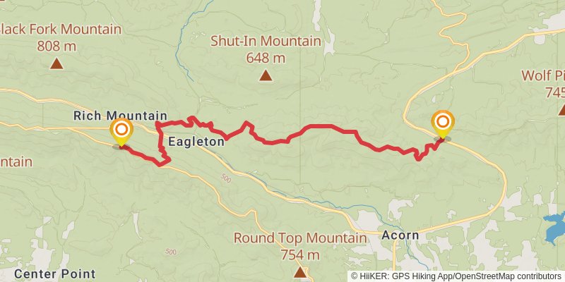
Starting at: Lake Wilhelmina Vista, Mena, Polk County, 71953
Ending at: Mena, Polk County, 71953
Distance: 21.7 km
Elevation gain: 750 m
Duration: 05:35:20
stage 6
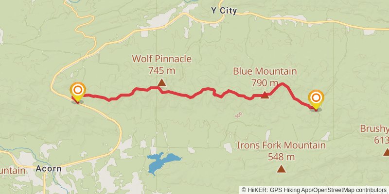
Starting at: Eagleton, Polk County, 71953
Ending at: Mena, Polk County, 71953
Distance: 19.2 km
Elevation gain: 806 m
Duration: 05:11:23
stage 7
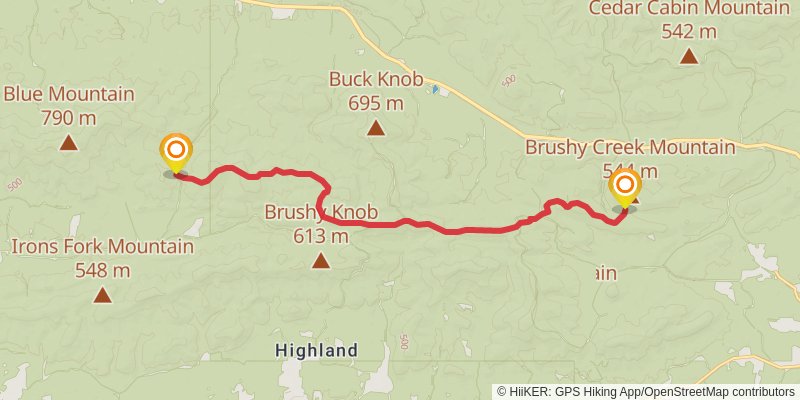
Starting at: Turner Gap Shelter, Mena, Polk County, 71953
Ending at: Sims, Polk County, 71969
Distance: 17.1 km
Elevation gain: 476 m
Duration: 04:13:00
stage 8
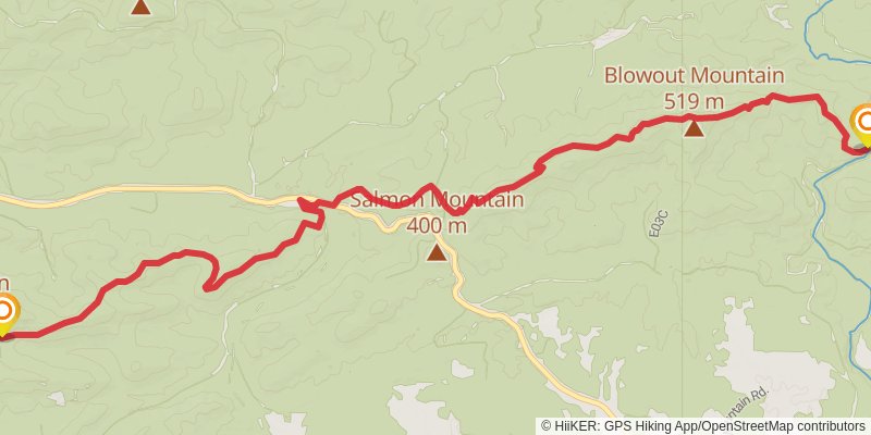
Starting at: Brushy Creek Mountain Shelter, Montgomery County
Ending at: Pencil Bluff, Polk County, 71965
Distance: 16.9 km
Elevation gain: 569 m
Duration: 04:19:30
stage 9
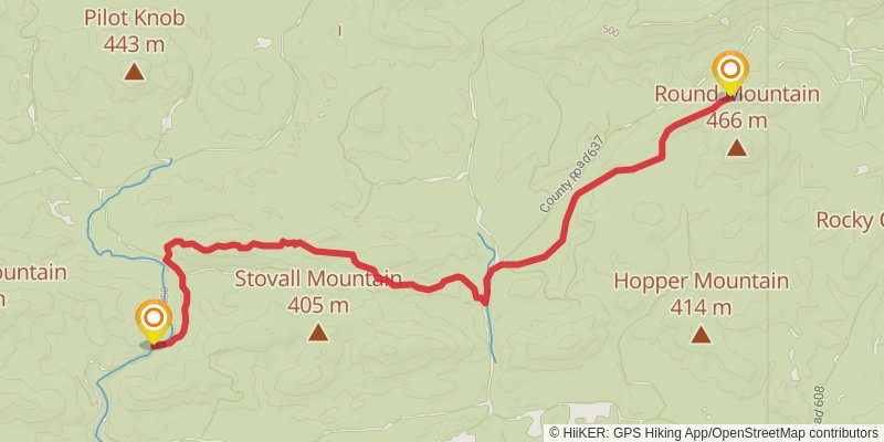
Starting at: Fiddler Creek Shelter, Montgomery County
Ending at: Montgomery County
Distance: 12.2 km
Elevation gain: 464 m
Duration: 03:12:21
stage 10
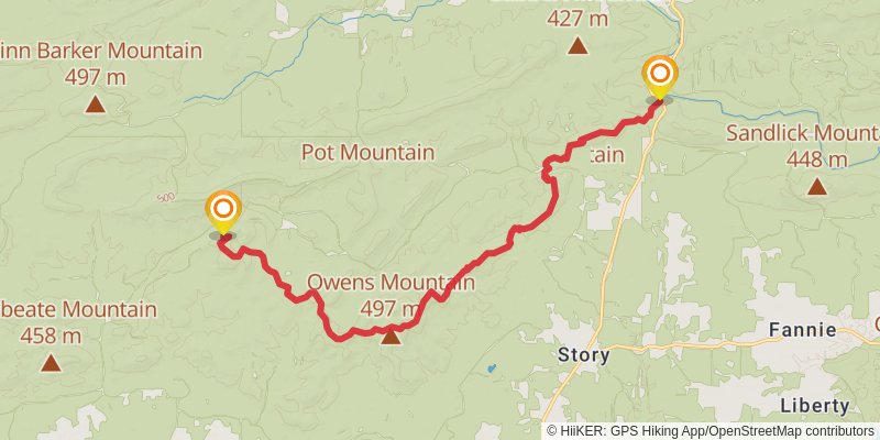
Starting at: Suck Mountain Shelter, Montgomery County
Ending at: Plainview, Garland County, 72857
Distance: 21.0 km
Elevation gain: 738 m
Duration: 05:25:16
stage 11
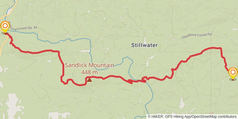
Starting at: Story, Montgomery County
Ending at: Jessieville, Garland County, 71949
Distance: 18.6 km
Elevation gain: 677 m
Duration: 04:50:42
stage 12
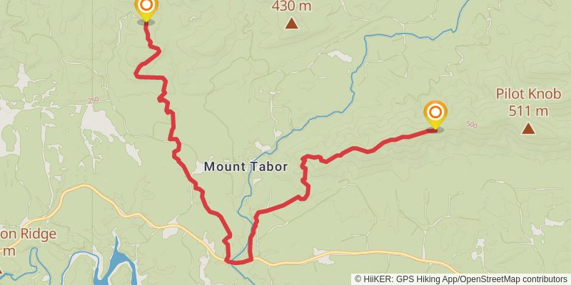
Starting at: Perry County, 71949
Ending at: Jessieville, Garland County, 71949
Distance: 14.8 km
Elevation gain: 496 m
Duration: 03:47:23
stage 13
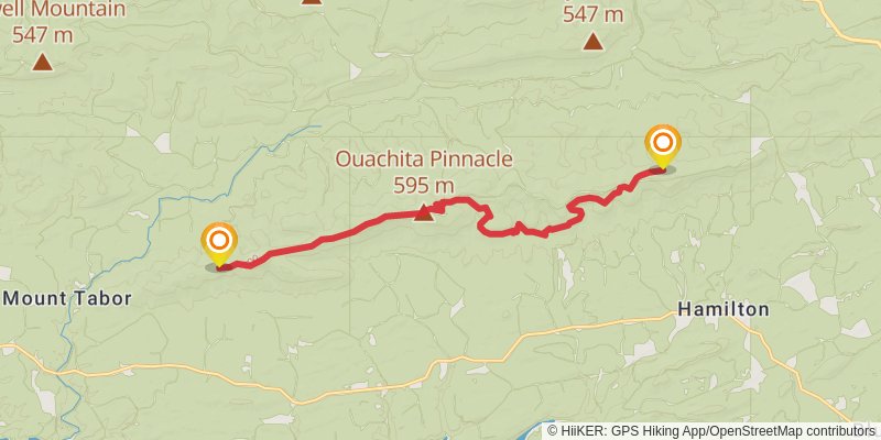
Starting at: Perry County, 71949
Ending at: Jessieville, Garland County, 71949
Distance: 17.1 km
Elevation gain: 662 m
Duration: 04:31:15
stage 14
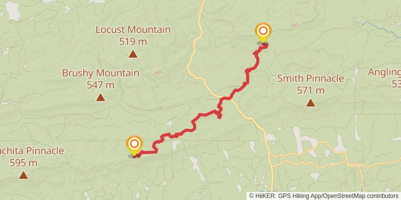
Starting at: Perry County, 71949
Ending at: Saline County
Distance: 16.9 km
Elevation gain: 672 m
Duration: 04:30:35
stage 15
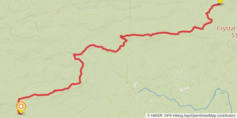
Starting at: Perry County, 71909:71949:71956
Ending at: Saline County
Distance: 17.5 km
Elevation gain: 607 m
Duration: 04:30:06
stage 16
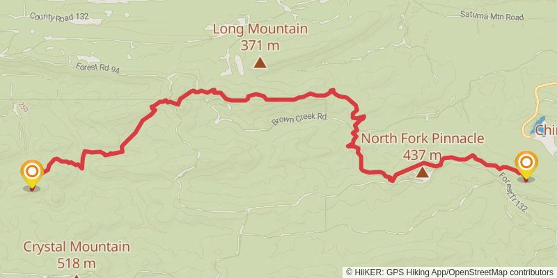
Starting at: Perry County
Ending at: Perryville, Perry County, 72126
Distance: 16.7 km
Elevation gain: 705 m
Duration: 04:30:37
stage 17
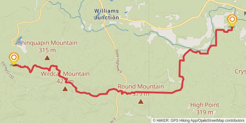
Starting at: Williams Junction, Perry County, 72126
Ending at: Roland, Pulaski County, 72135
Distance: 17.5 km
Elevation gain: 609 m
Duration: 04:30:29
stage 18
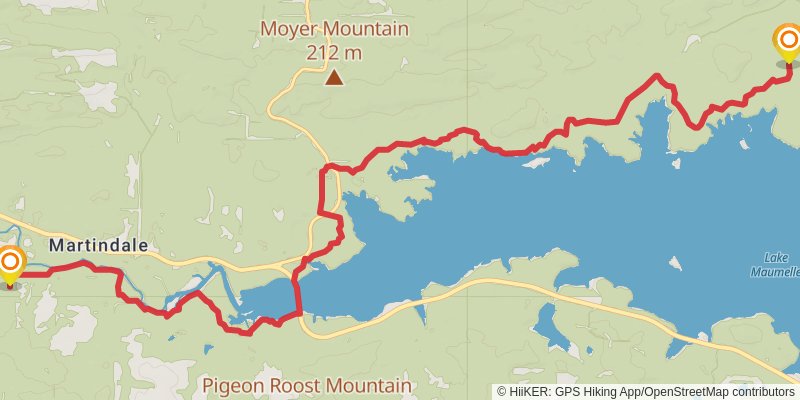
Starting at: Martindale, Pulaski County, 72135
Ending at: Roland, Pulaski County, 72135
Distance: 19.2 km
Elevation gain: 401 m
Duration: 04:30:45
stage 19
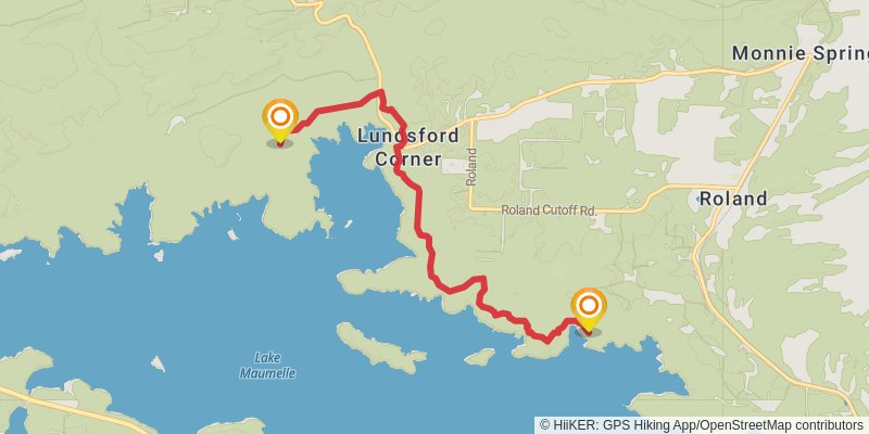
Starting at: Lundsford Corner, Pulaski County, 72135
Ending at: Roland, Pulaski County, 72135
Distance: 8.8 km
Elevation gain: 204 m
Duration: 02:05:36
stage 20
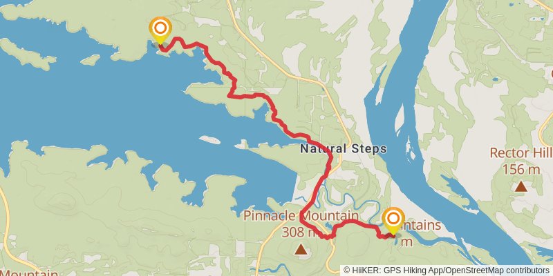
Starting at: Lundsford Corner, Pulaski County, 72135
Ending at: Natural Steps, Pulaski County, 72223
Distance: 10.8 km
Elevation gain: 324 m
Duration: 02:41:48