Download
3D Flyover
Add to list
More
348.3 km
~14 days
6990 m
Multi-Day
“The Ouachita Trail is a diverse, historic trek through breathtaking mountain scenery and rich ecosystems.”
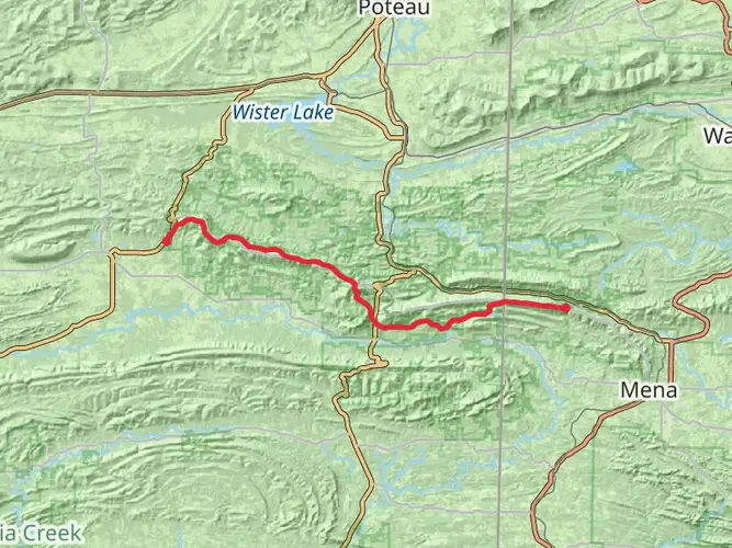
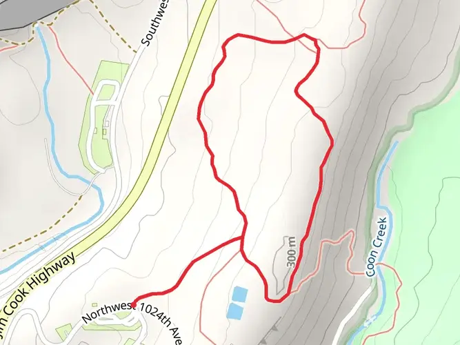
Spanning approximately 348 kilometers (216 miles) and with an elevation gain of around 6,900 meters (22,637 feet), the Ouachita National Recreation Trail offers an immersive journey through the Ouachita Mountains. This point-to-point trail begins near Talimena State Park, close to Le Flore County, Oklahoma, and stretches all the way to Pinnacle Mountain State Park near Little Rock, Arkansas.
Getting to the Trailhead
To reach the western trailhead near Talimena State Park, hikers can drive to the park, which is situated off of Highway 271. For those relying on public transportation, the nearest significant town with bus services is Poteau, Oklahoma. From there, a taxi or local shuttle service can be arranged to the trailhead.
Trail Experience
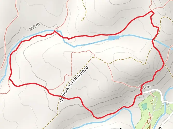
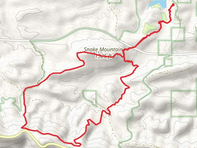
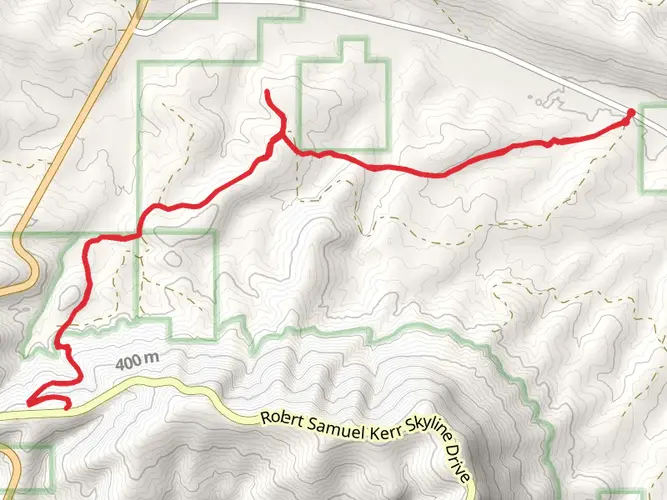
As you embark on the Ouachita Trail, you'll traverse a variety of landscapes, including dense forests, clear streams, and rocky outcrops. The trail is well-marked with blue blazes, and HiiKER can be used for additional navigation and planning. The path is generally well-maintained, but some sections may be more rugged than others, requiring careful footing.
Landmarks and Scenery
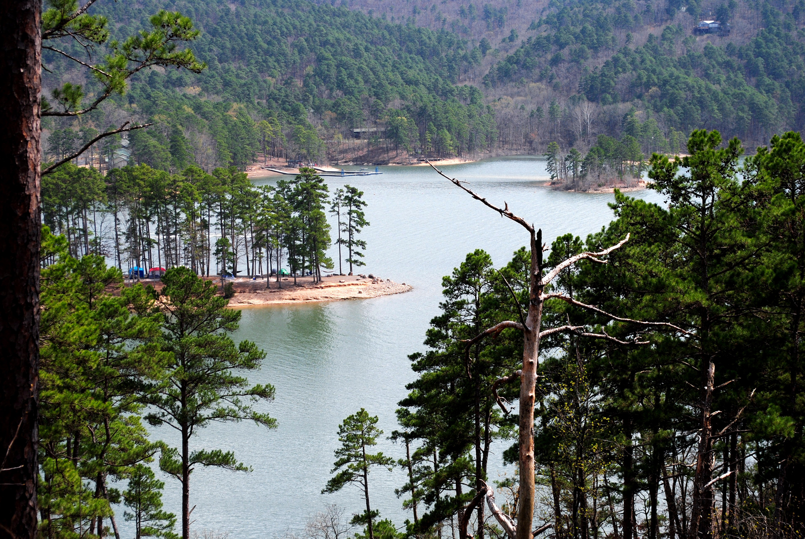
One of the first major landmarks you'll encounter is the Ouachita National Forest, a vast expanse of wilderness that is home to rich biodiversity. The trail meanders through this area, offering glimpses of local wildlife such as white-tailed deer, black bears, and numerous bird species.
As you progress, you'll reach the highest point on the trail, Queen Wilhelmina State Park, which provides stunning panoramic views of the surrounding mountains. The park is located roughly 77 kilometers (48 miles) from the western trailhead and is a popular spot for a rest or overnight stay.
Historical Significance
The Ouachita Mountains are of great historical significance, having been a boundary between different Native American nations before European settlement. The trail itself passes through areas that were once bustling with early 20th-century mining activity, although nature has largely reclaimed these sites.
Flora and Fauna
The trail cuts through diverse ecosystems, from hardwood forests to pine-covered hills. Springtime hikers will be treated to a colorful display of wildflowers, including the vibrant trilliums and delicate dogwoods. The fall season brings a dramatic change as the foliage turns to fiery hues of red, orange, and yellow.
Preparation and Planning
Given the trail's length and varying terrain, it's essential to plan resupply points and potential exit strategies. Water sources are generally abundant, but all water should be treated before consumption. Weather conditions can change rapidly in the mountains, so be prepared with appropriate gear for rain, cold, and potentially even snow at higher elevations.
Conclusion
The Ouachita National Recreation Trail is a journey through time, nature, and the serene beauty of the American Southeast. Whether you're looking for a challenging multi-day adventure or a series of day hikes, this trail offers a rewarding experience for those prepared to explore its wonders.

What to expect?
Activity types
Comments and Reviews
User comments, reviews and discussions about the Ouachita National Recreation Trail, Oklahoma.
4.37
average rating out of 5
52 rating(s)