The best hikes in Columbiana County
Ohio · 11 HiiKER Hikes
View Hikes on map


What to expect
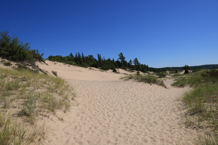
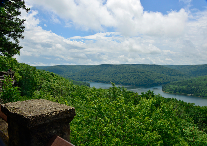
Check out some of the best hiking, walking and backpacking routes in Columbiana County, Ohio. The American Perimeter Trail - North Country Primary is the most popular trail. The trails have 195 user reviews with great photos and information. There are trails of various difficulty levels including easy, medium, difficult, and extra difficult. The trail with the highest elevation climb is the American Perimeter Trail - North Country Primary and the trail with the least amount of climbing is the Horse Trail - Yellow and Blue. The longest trail is the American Perimeter Trail - North Country Primary at 5377.1 km. For a shorter adventure you can try the Waterworth Pond at 1.1 km. Get off line access to Restaurant, Shelter, Campsite, and Water locations and much more with a Hiiker subscription.

Be prepared for hiking in Ohio with the HiiKER app