Download
Preview
Add to list
More
440.4 km
~24 days
5810 m
Multi-Day
“Embark on a historic trek through Pennsylvania's stunning landscapes and rich heritage along the North Country Trail.”
Spanning approximately 440 kilometers (about 273 miles) with an elevation gain of around 5800 meters (approximately 19,000 feet), the North Country Trail in Pennsylvania offers a diverse and enriching hiking experience. This point-to-point trail begins near the border of Columbiana County, Ohio, and stretches across Pennsylvania, showcasing the state's natural beauty and historical richness.
Getting to the Trailhead
To reach the starting point of the North Country Trail in Pennsylvania, hikers can drive to the trailhead located near Darlington, Pennsylvania, which is the closest town to the Ohio-Pennsylvania border. For those relying on public transportation, options may be limited, but regional bus services can get you to nearby towns, from where you may need to arrange a taxi or a ride to the trailhead.
Trail Experience
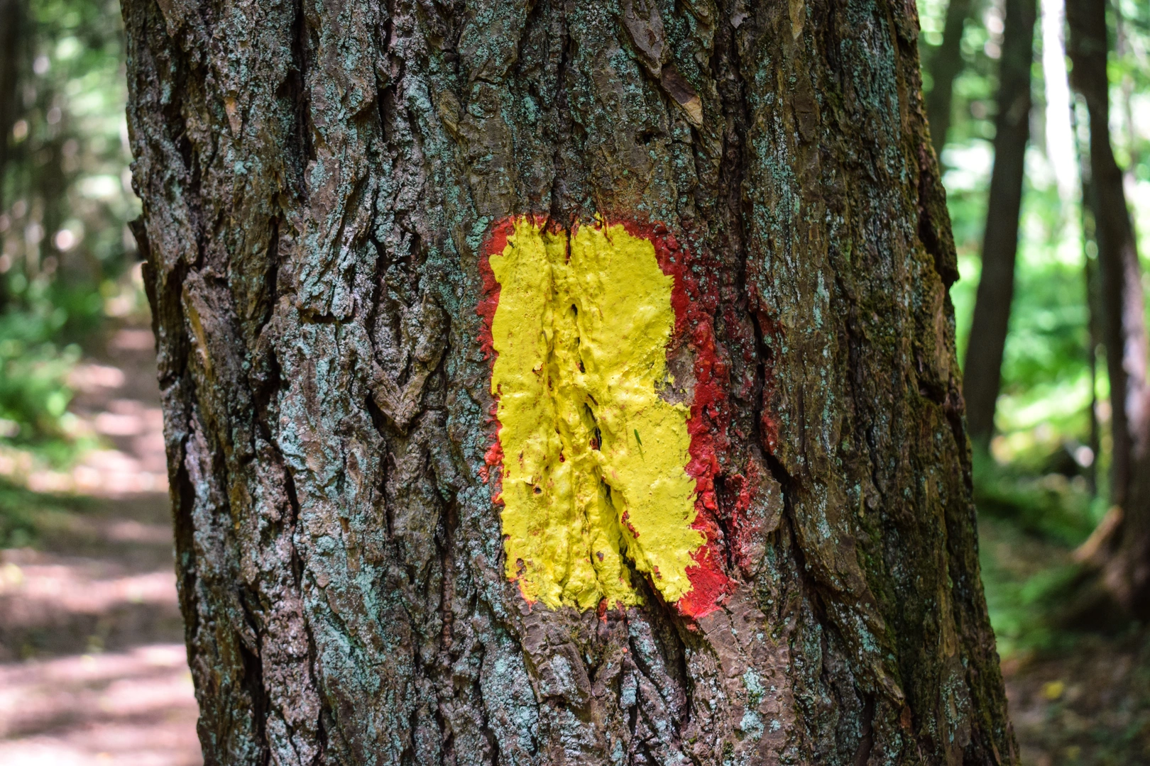
As you embark on the trail, you'll traverse through a variety of landscapes, including dense hardwood forests, peaceful streams, and rolling hills. The trail is well-marked, but carrying a reliable navigation tool like HiiKER is advisable to stay on track and be aware of upcoming changes in terrain or elevation.
Landmarks and Nature
One of the early highlights is the passage through McConnells Mill State Park, about 80 kilometers (50 miles) into the hike. Here, you'll find the stunning Slippery Rock Creek Gorge, a National Natural Landmark. The park is also home to the historic McConnell's Mill and a covered bridge, both dating back to the 19th century.
Continuing eastward, the trail meanders through the Allegheny National Forest, offering a chance to witness Pennsylvania's rich biodiversity. This section, which includes about 160 kilometers (100 miles) of the trail, is a haven for wildlife enthusiasts, with opportunities to spot white-tailed deer, black bears, and a variety of bird species.
Historical Significance
The North Country Trail runs through areas steeped in history. As you hike, you'll encounter remnants of the region's past, such as old oil and gas wells in the Allegheny National Forest, a testament to Pennsylvania's role in the early oil industry. The trail also crosses paths with the Clarion River, which played a significant role in the lumber industry during the 19th century.
Preparation and Planning
Given the trail's length and varied terrain, hikers should be well-prepared with appropriate gear, including sturdy footwear, weather-appropriate clothing, and sufficient food and water supplies. It's also wise to plan for overnight stays, whether in designated campgrounds or by securing permits for backcountry camping where allowed.
Seasonal Considerations
The best times to hike the North Country Trail in Pennsylvania are during the spring and fall when temperatures are moderate, and the foliage is either blooming or showcasing vibrant autumn colors. Summers can be humid and hot, while winters bring snow and potentially challenging conditions.
Safety and Etiquette
Always practice Leave No Trace principles to minimize your impact on the environment. Be aware of hunting seasons and wear bright colors for safety during those times. Check in advance for any trail closures or alerts, and be prepared for ticks and other wildlife encounters by taking appropriate precautions.
By planning accordingly and respecting the trail and its surroundings, hikers can fully enjoy the natural splendor and historical significance of the North Country Trail in Pennsylvania.

What to expect?
Activity types
Comments and Reviews
User comments, reviews and discussions about the North Country Trail - Pennsylvania, Ohio.
4.88
average rating out of 5
8 rating(s)