North Country Trail trail stages
stage 1
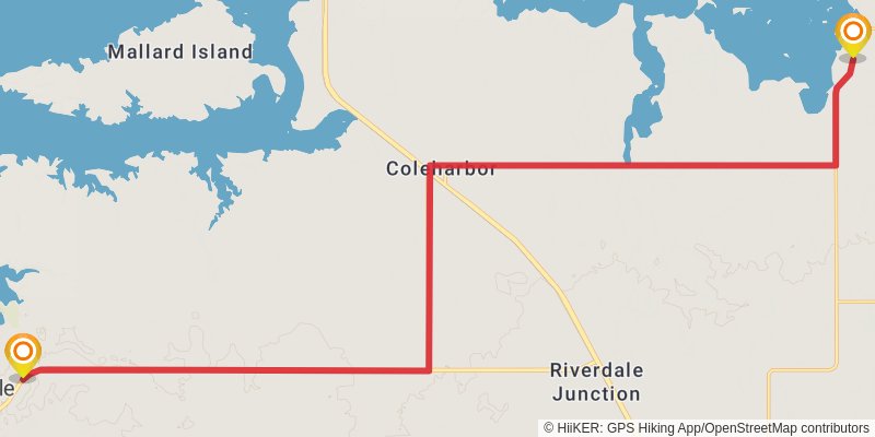
Starting at: Riverdale Junction, Riverdale, McLean County, 58531
Ending at: Coleharbor, McLean County, 58531
Distance: 26.8 km
Elevation gain: 56 m
Duration: 05:27:29
stage 2
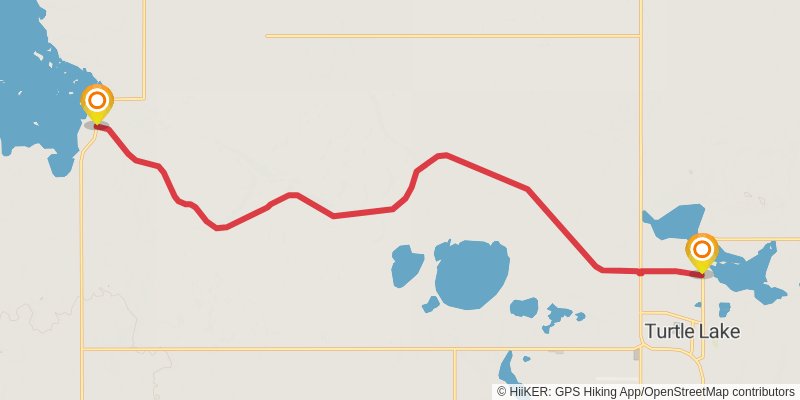
Starting at: Underwood, McLean County, 58531
Ending at: Turtle Lake, McLean County, 58575
Distance: 19.1 km
Elevation gain: 55 m
Duration: 03:54:11
stage 3
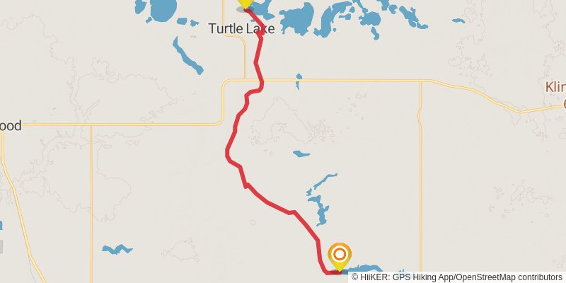
Starting at: Lake Williams Township, McLean County, 58575
Ending at: McLean County, 58559
Distance: 26.4 km
Elevation gain: 157 m
Duration: 05:32:54
stage 4
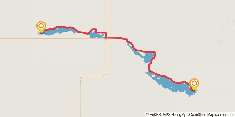
Starting at: McLean County, 58559
Ending at: Burleigh County, 58579
Distance: 18.7 km
Elevation gain: 115 m
Duration: 03:55:48
stage 5
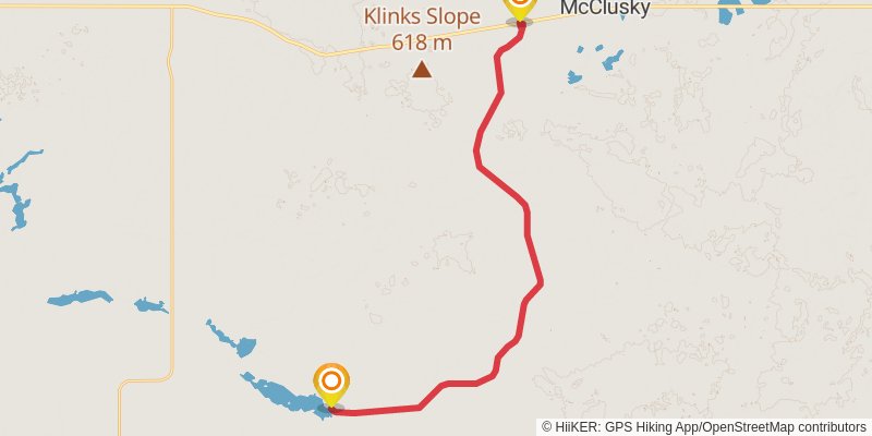
Starting at: Burleigh County, 58477
Ending at: McClusky, Sheridan County, 58463
Distance: 28.2 km
Elevation gain: 100 m
Duration: 05:48:19
stage 6
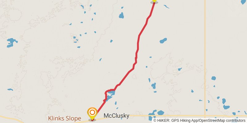
Starting at: McClusky, Sheridan County, 58463
Ending at: Mcclusky, Sheridan County, 58463
Distance: 25.3 km
Elevation gain: 138 m
Duration: 05:17:47
stage 7
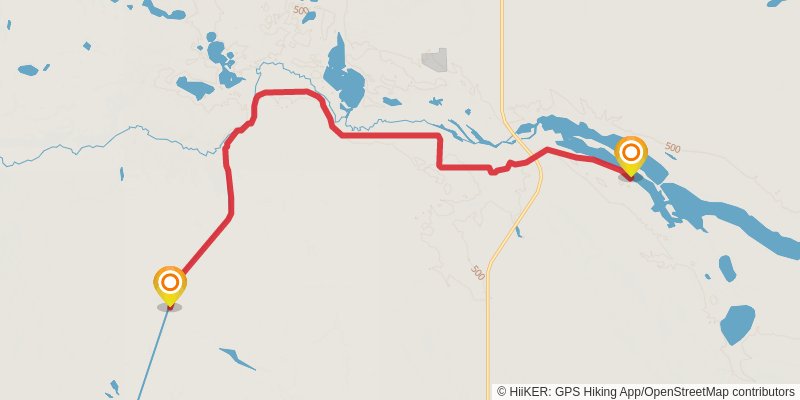
Starting at: Sheridan County, 58463
Ending at: Sheridan County, 58758
Distance: 18.0 km
Elevation gain: 121 m
Duration: 03:48:19
stage 8
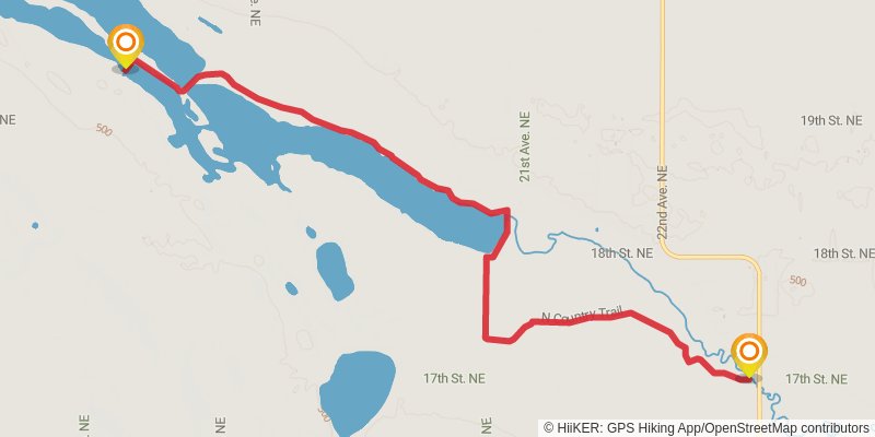
stage 9
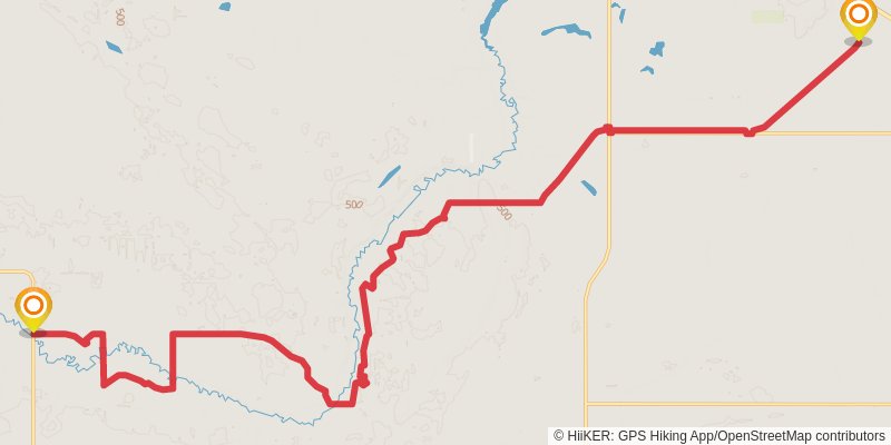
Starting at: Harvey, Sheridan County, 58341
Ending at: Harvey, Wells County, 58341
Distance: 30.2 km
Elevation gain: 227 m
Duration: 06:24:54
stage 10
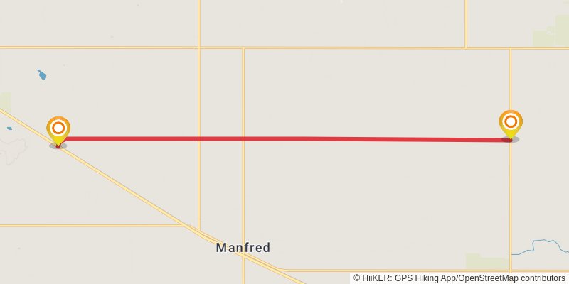
Starting at: Manfred, Wells County, 58341
Ending at: West Norway, Wells County, 58438
Distance: 16.6 km
Elevation gain: 16 m
Duration: 03:20:54
stage 11
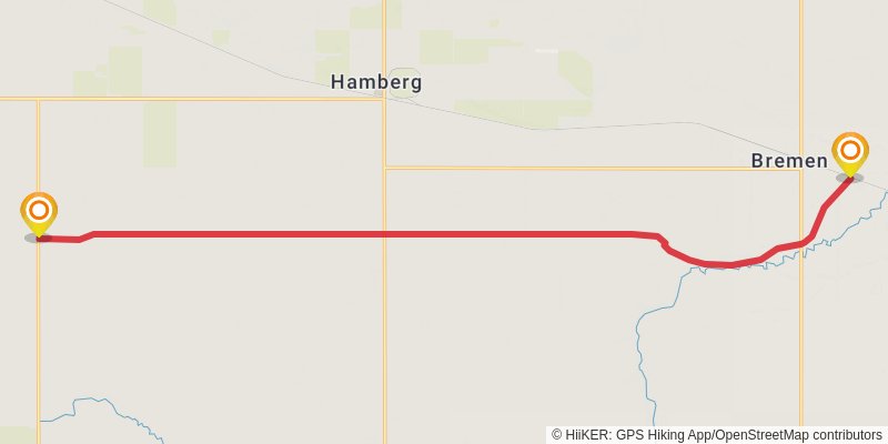
Starting at: Hamberg, Fessenden, Wells County, 58438
Ending at: New Rockford, Wells County, 58356
Distance: 20.1 km
Elevation gain: 32 m
Duration: 04:04:12
stage 12
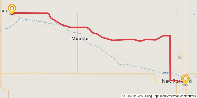
Starting at: Bremen, Wells County, 58356
Ending at: New Rockford, Eddy County, 58356
Distance: 24.5 km
Elevation gain: 67 m
Duration: 05:00:41
stage 13
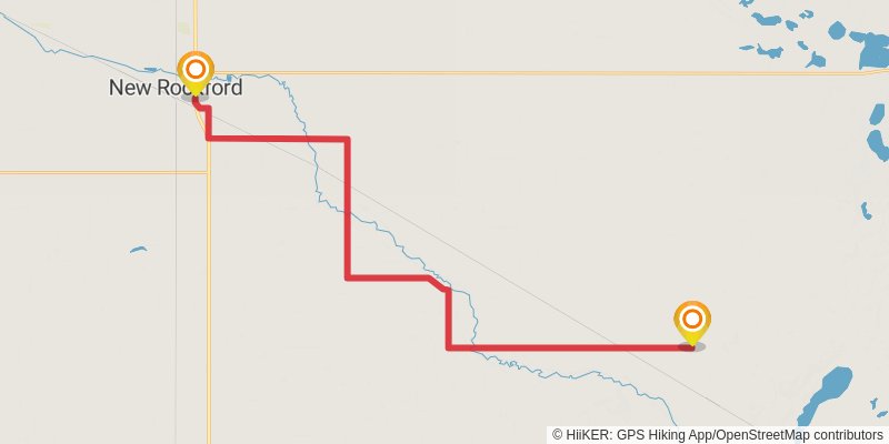
Starting at: New Rockford, Eddy County, 58356
Ending at: Grace City, Foster County, 58445
Distance: 35.7 km
Elevation gain: 59 m
Duration: 07:13:46
stage 14
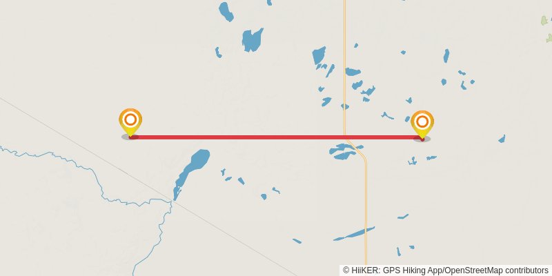
Starting at: Grace City, Grace City, Foster County, 58445
Ending at: Mchenry, Foster County, 58464
Distance: 22.0 km
Elevation gain: 77 m
Duration: 04:31:52
stage 15
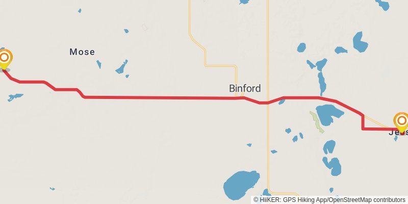
Starting at: McHenry, McHenry, Foster County, 58464
Ending at: Jessie, Griggs County, 58452
Distance: 22.0 km
Elevation gain: 140 m
Duration: 04:38:28
stage 16
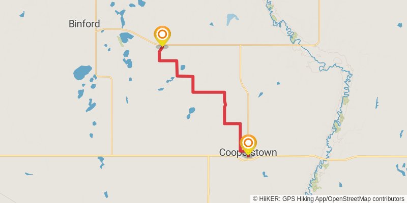
Starting at: Jessie, Griggs County, 58452
Ending at: Cooperstown, Griggs County, 58425
Distance: 20.5 km
Elevation gain: 64 m
Duration: 04:11:52
stage 17
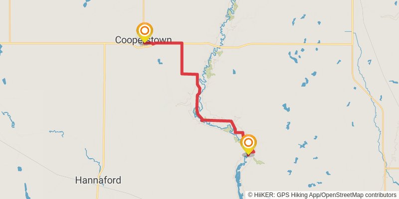
Starting at: Cooperstown, Griggs County, 58425
Ending at: Luverne, Steele County, 58056
Distance: 22.9 km
Elevation gain: 75 m
Duration: 04:41:49
stage 18
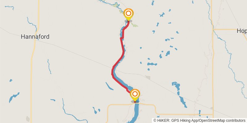
Starting at: Steele County, 58056
Ending at: Sibley, Barnes County, 58429
Distance: 17.4 km
Elevation gain: 146 m
Duration: 03:43:41
stage 19
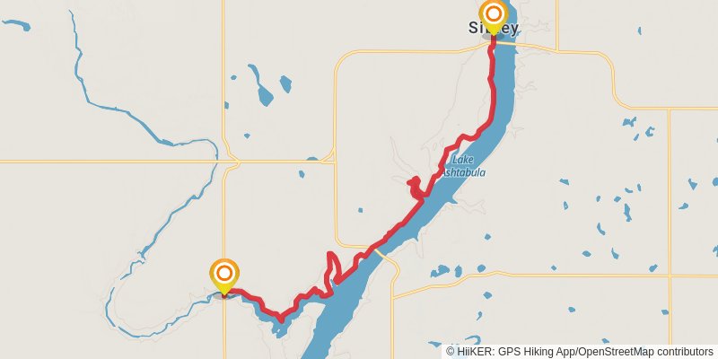
Starting at: Sibley, Barnes County, 58429
Ending at: Dazey, Barnes County, 58429
Distance: 18.1 km
Elevation gain: 253 m
Duration: 04:02:22
stage 20
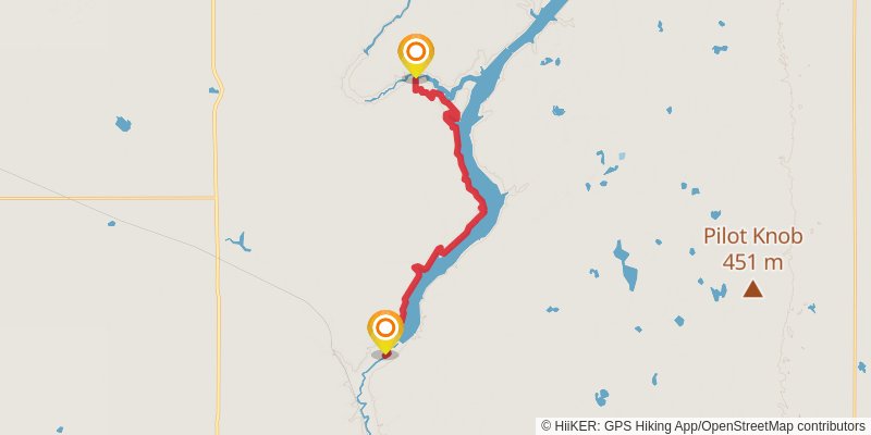
Starting at: Rogers, Barnes County, 58479
Ending at: Getchell, Barnes County, 58072
Distance: 20.8 km
Elevation gain: 461 m
Duration: 04:56:10
stage 21
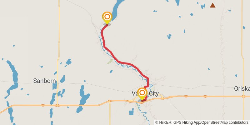
Starting at: Valley City, Barnes County, 58072
Ending at: Valley City, Barnes County, 58072
Distance: 19.4 km
Elevation gain: 138 m
Duration: 04:06:22
stage 22
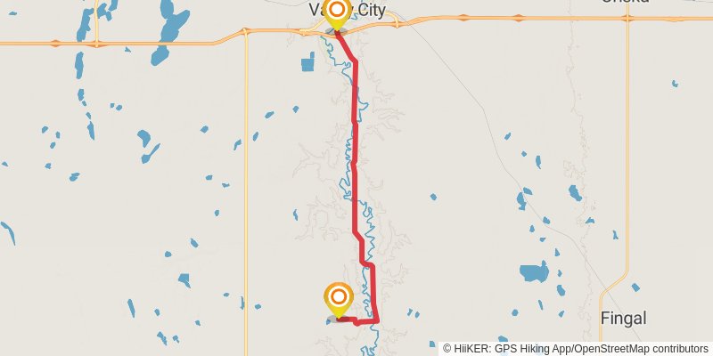
Starting at: Valley City, Barnes County, 58072
Ending at: Kathryn, Barnes County, 58049
Distance: 20.9 km
Elevation gain: 153 m
Duration: 04:25:36
stage 23
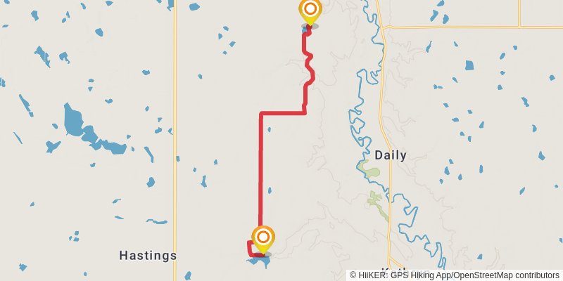
Starting at: Daily, Valley City, Barnes County, 58072
Ending at: Kathryn, Barnes County, 58049
Distance: 11.8 km
Elevation gain: 140 m
Duration: 02:35:10
stage 24
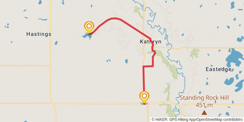
Starting at: Spring Creek, Oakhill Township, Barnes County, 58049
Ending at: Oakhill, Barnes County, 58049
Distance: 13.3 km
Elevation gain: 127 m
Duration: 02:52:49
stage 25
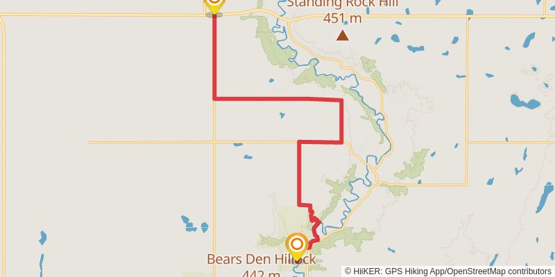
Starting at: Northland Township, Ransom County, 58049
Ending at: Northland, Ransom County, 58033
Distance: 17.7 km
Elevation gain: 57 m
Duration: 03:37:46
stage 26
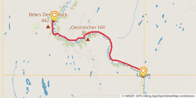
Starting at: Northland Township, Ransom County, 58033
Ending at: Lisbon, Ransom County, 58054
Distance: 30.5 km
Elevation gain: 177 m
Duration: 06:23:48
stage 27
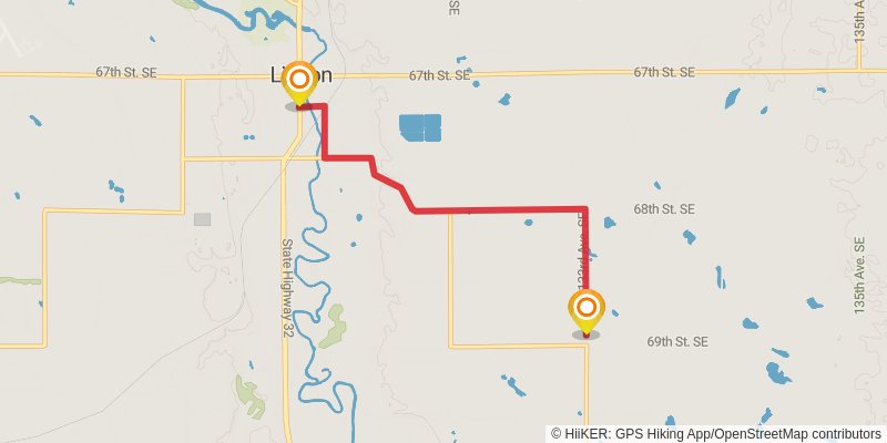
Starting at: Lisbon, Ransom County, 58054
Ending at: Lisbon, Ransom County, 58054
Distance: 6.0 km
Elevation gain: 45 m
Duration: 01:16:32
stage 28
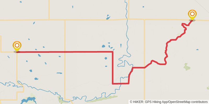
Starting at: Lisbon, Ransom County, 58054
Ending at: Shenford, Ransom County, 58054
Distance: 27.3 km
Elevation gain: 113 m
Duration: 05:39:15
stage 29
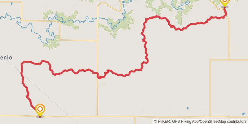
Starting at: Venlo, Lisbon, Ransom County, 58054
Ending at: Leonard, Richland County, 58052
Distance: 36.7 km
Elevation gain: 464 m
Duration: 08:06:20
stage 30
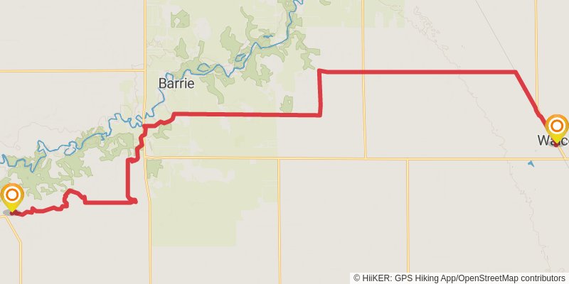
Starting at: Power, Leonard, Richland County, 58052
Ending at: Walcott, Richland County, 58077
Distance: 28.8 km
Elevation gain: 179 m
Duration: 06:03:49