The best hikes in Watauga County
North Carolina · 53 HiiKER Hikes
View Hikes on map


What to expect
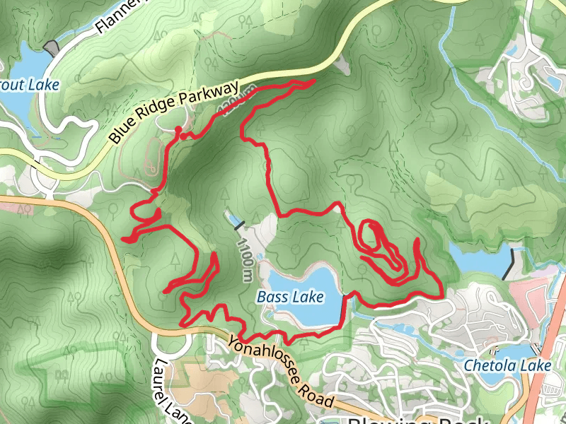
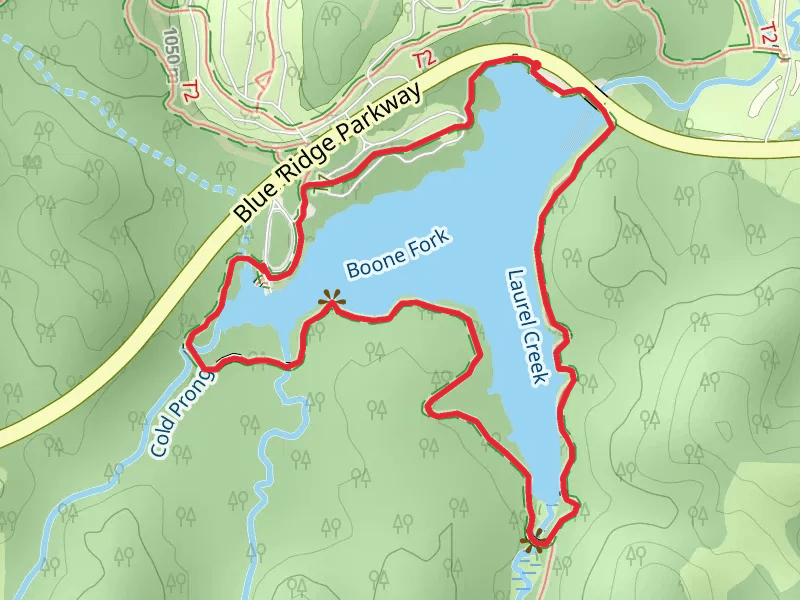
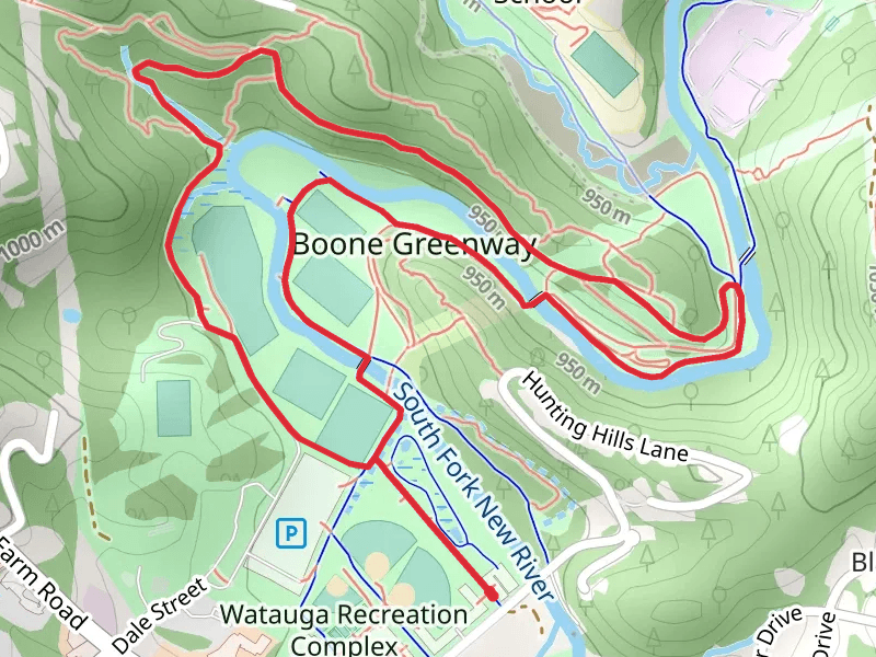
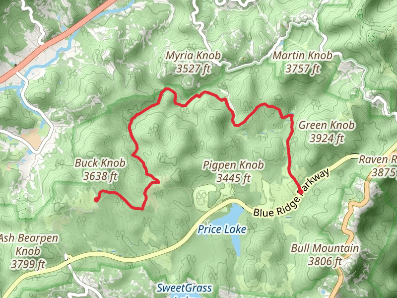
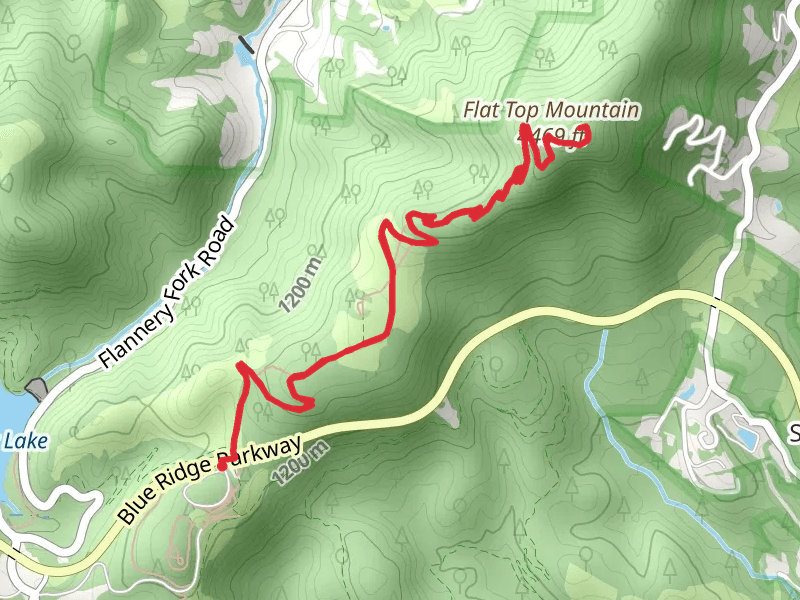
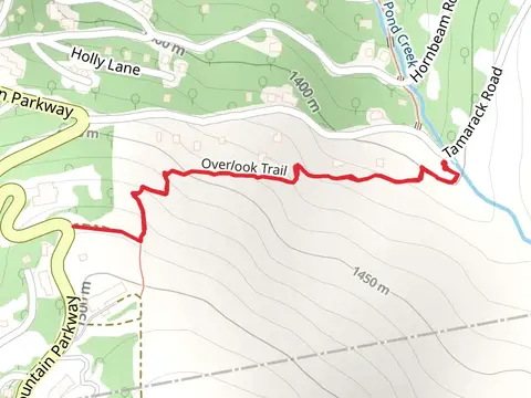
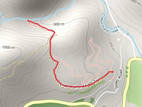
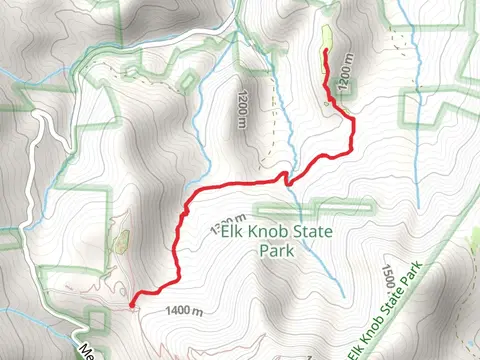
Check out some of the best hiking, walking and backpacking routes in Watauga County, North Carolina. The China Creek Trail is the most popular trail. There are trails of various difficulty levels including easy and medium. The trail with the highest elevation climb is the Calloway Peak Loop and the trail with the least amount of climbing is the South Fork Laurel Creek from Goldenrod Road. The longest trail is the Tanawha Trail - Price Park at 20.9 km. For a shorter adventure you can try the Figure Eight Loop Trail at 529 m. Get off line access to Shelter, Restaurant, Fastfood, and Peak locations and much more with a Hiiker subscription.

Be prepared for hiking in North Carolina with the HiiKER app