Download
Preview
Add to list
More
20.9 km
~1 day 1 hrs
1232 m
Point-to-Point
“Explore the scenic 21-kilometer Tanawha Trail, offering moderate hiking through lush forests and historic landmarks.”
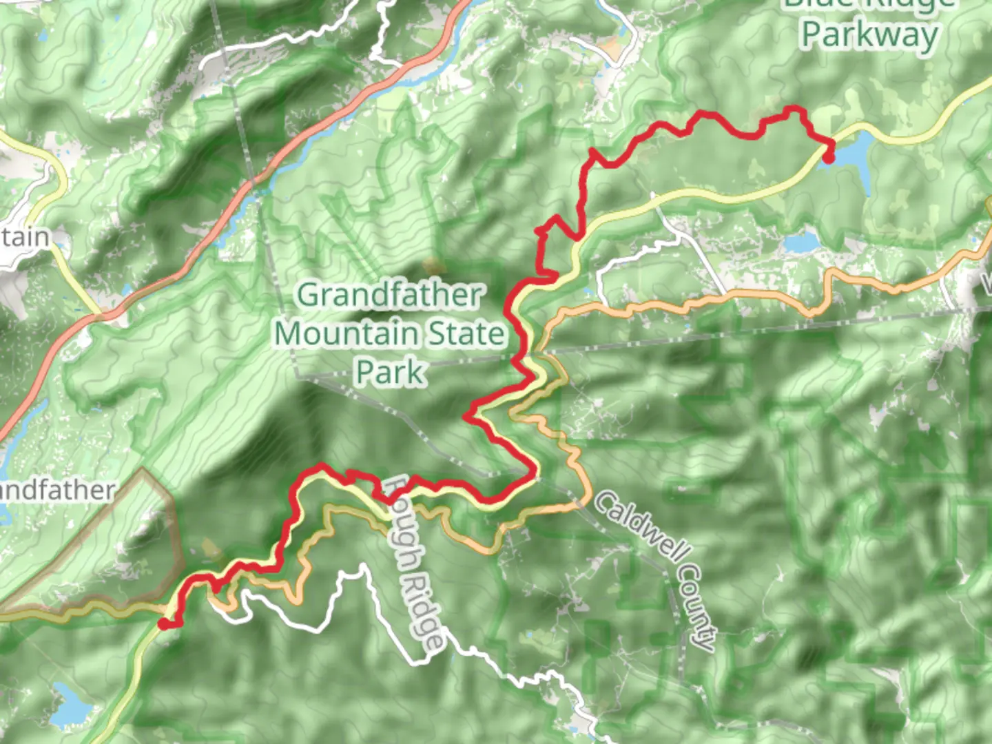
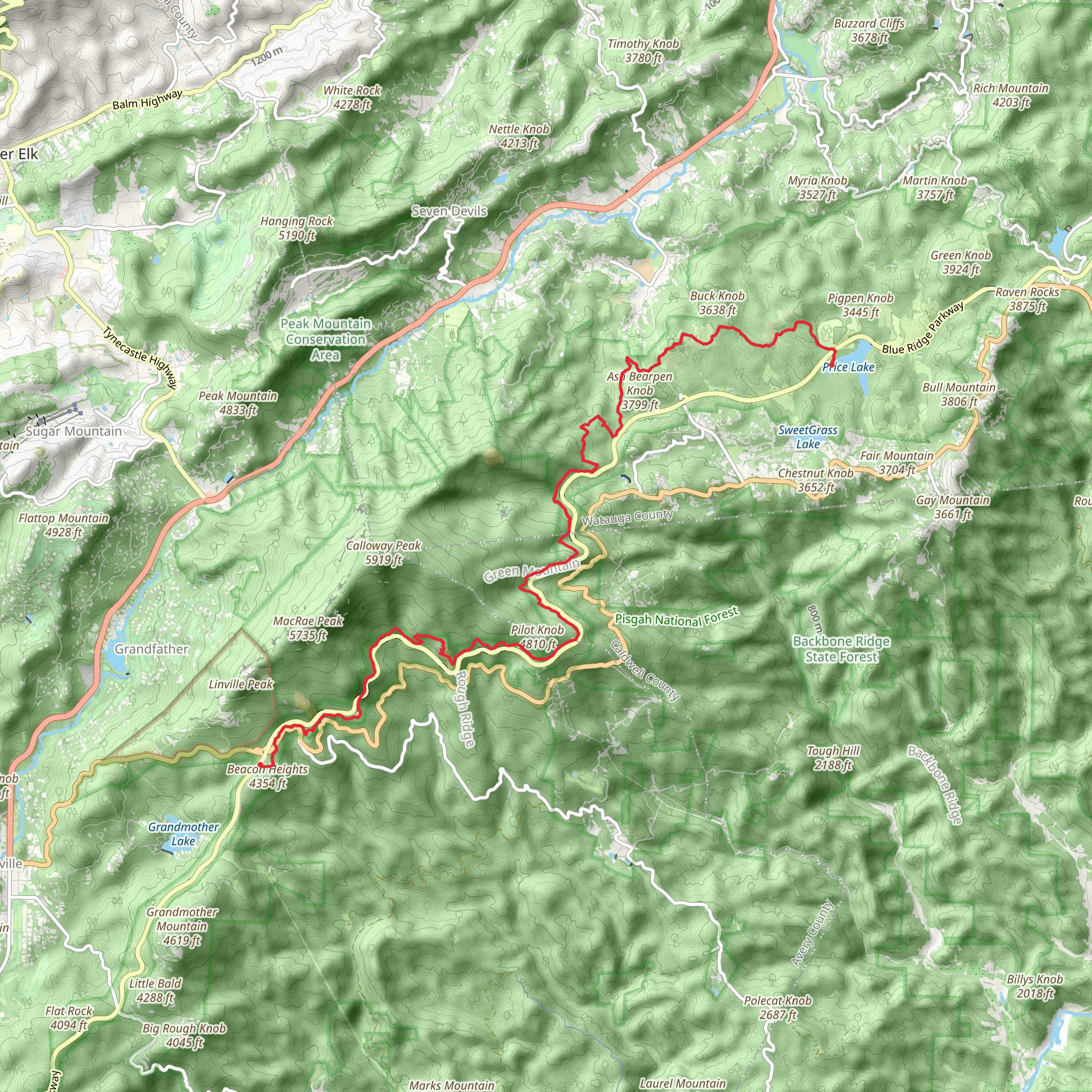
Starting near Watauga County, North Carolina, the Tanawha Trail - Price Park stretches approximately 21 kilometers (13 miles) with an elevation gain of around 1200 meters (3937 feet). This point-to-point trail is rated as medium difficulty, making it suitable for moderately experienced hikers.
Getting There To reach the trailhead, you can drive or use public transport. If driving, head towards Julian Price Memorial Park, located off the Blue Ridge Parkway. The nearest significant landmark is the Julian Price Campground, which offers ample parking. For those using public transport, the nearest bus stop is in Boone, North Carolina, from where you can take a taxi or rideshare service to the trailhead.
Trail Overview The Tanawha Trail meanders through the scenic landscapes of the Blue Ridge Mountains, offering a diverse range of flora and fauna. The trail is well-marked, but it's advisable to use the HiiKER app for navigation to ensure you stay on track.
Key Sections and Landmarks
#### Julian Price Memorial Park to Rough Ridge Starting from Julian Price Memorial Park, the first section of the trail takes you through lush forests and alongside the picturesque Price Lake. This initial stretch is relatively flat, making it a good warm-up. After about 3 kilometers (1.9 miles), you’ll begin a gradual ascent towards Rough Ridge. This section is known for its rocky outcrops and offers stunning views of the surrounding mountains.
#### Rough Ridge to Linn Cove Viaduct At Rough Ridge, approximately 6 kilometers (3.7 miles) into the hike, you’ll encounter one of the trail’s most iconic viewpoints. The boardwalk here provides panoramic vistas of the Blue Ridge Parkway and the valleys below. Continuing on, the trail becomes more challenging as you approach the Linn Cove Viaduct, a marvel of engineering that hugs the contours of Grandfather Mountain. This section involves a steep climb, gaining about 300 meters (984 feet) in elevation over 4 kilometers (2.5 miles).
#### Linn Cove Viaduct to Beacon Heights After crossing the viaduct, the trail levels out somewhat, leading you through dense forests and rhododendron thickets. This part of the trail is quieter and offers a chance to spot wildlife such as deer and various bird species. Approximately 15 kilometers (9.3 miles) into the hike, you’ll reach Beacon Heights, another excellent viewpoint. The elevation gain here is moderate, making it a good spot for a rest and some photography.
Historical Significance The region around the Tanawha Trail is steeped in history. The Blue Ridge Parkway, which the trail parallels, was constructed during the Great Depression as part of the New Deal. It was designed to provide jobs and stimulate the economy while preserving the natural beauty of the Appalachian Mountains. The trail itself is named "Tanawha," a Cherokee word meaning "fabulous hawk" or "eagle," reflecting the area's rich Native American heritage.
Final Stretch to the Trail End The final section of the trail descends gradually towards the trail’s end near Beacon Heights. This part of the hike is less strenuous, allowing you to enjoy the serene forest environment. The trail concludes near the intersection of the Blue Ridge Parkway and NC Highway 181, where you can arrange for a pickup or find parking if you’ve left a car there.
Wildlife and Flora Throughout the hike, keep an eye out for the diverse wildlife that inhabits the area. Black bears, although rarely seen, do live in these forests, so it's wise to carry bear spray and know how to use it. The trail is also home to a variety of bird species, including hawks and eagles, which can often be seen soaring above the ridges. In spring and early summer, the trail is adorned with blooming rhododendrons and mountain laurels, adding a splash of color to the verdant landscape.
Preparation Tips Given the trail's length and elevation gain, it's essential to be well-prepared. Wear sturdy hiking boots, bring plenty of water, and pack snacks or a light meal. Weather in the Blue Ridge Mountains can be unpredictable, so dress in layers and carry a rain jacket. Using the HiiKER app will help you navigate the trail and stay informed about any changes in weather or trail conditions.
By planning ahead and being prepared, you can fully enjoy the natural beauty and historical richness of the Tanawha Trail - Price Park.
What to expect?
Activity types
Comments and Reviews
User comments, reviews and discussions about the Tanawha Trail - Price Park, North Carolina.
4.56
average rating out of 5
16 rating(s)
