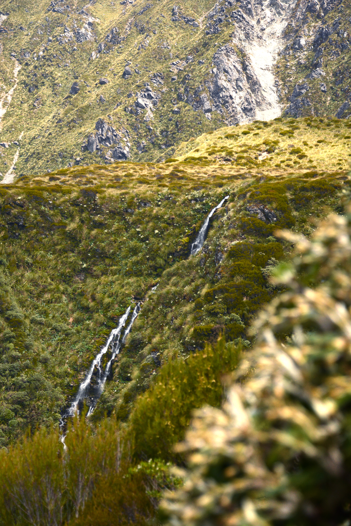
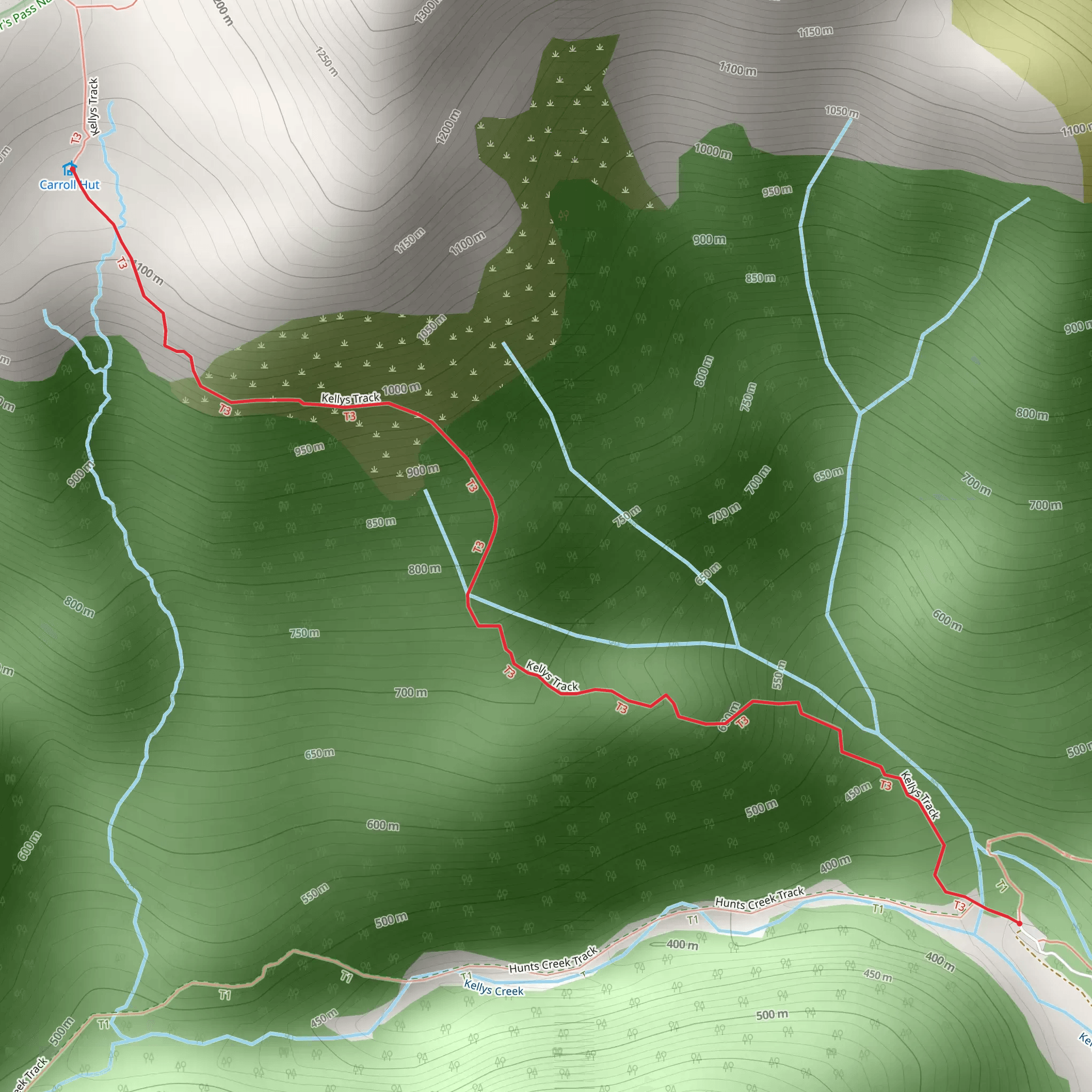
The 2.44 km Carroll Hut Track is a short steep hike within the Arthurs Pass National Park in the heart of the Southern Alps (Kā Tiritiri o te Moana) on New Zealand’s South Island. The trailhead can be found at Kellys Creek just 3 km north of Otira village on the SH73. Make the steep 3 hour climb to Carroll Hut for spectacular views across native shrubland and down to the Taramakau River. The track takes in the rātā/kāmahi forest and scrubland, leading to the grasslands that surround the Carroll Hut on the Kelly Range, where on clear days you can expect far-reaching views. Carroll Hut welcomes trampers on a first come first served basis and offers basic facilities including 10 bunks, mattresses, non-flush toilets and water from the stream. Alpine regions are prone to changeable weather so all trampers should be prepared with appropriate wind/waterproof layers and sufficient food and water. Above bush line the track is not marked, it’s exposed and visibility can be challenging in bad weather so confident navigational skills are recommended which is why this route is only recommended for experienced mountaineers or trampers. Arthur’s Pass National Park rugged and wild, the highest pass over the Southern Alps it makes up the ‘back bone’ of the Southland with its steep scree slopes ad gorges. Based on our data, the trail is graded as hard. For information on how we grade trails, please click here. Also, check our latest community posts for trail updates. This trail can be completed in approx. 6 hours. Caution is advised on trail times as this depends on multiple variables. For more info, click here.