The best hikes in Waiheke
New Zealand · 21 HiiKER Hikes
View Hikes on map

What to expect
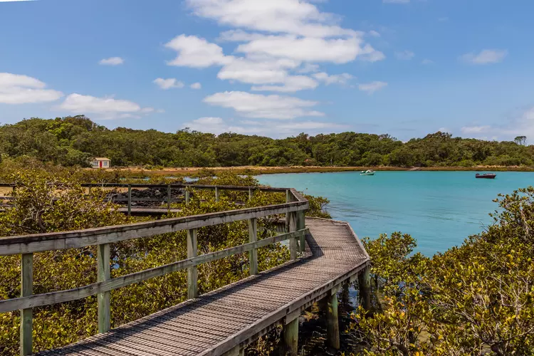
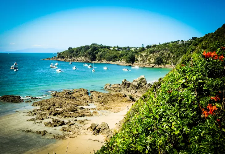
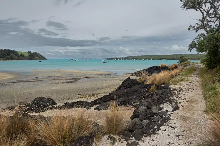
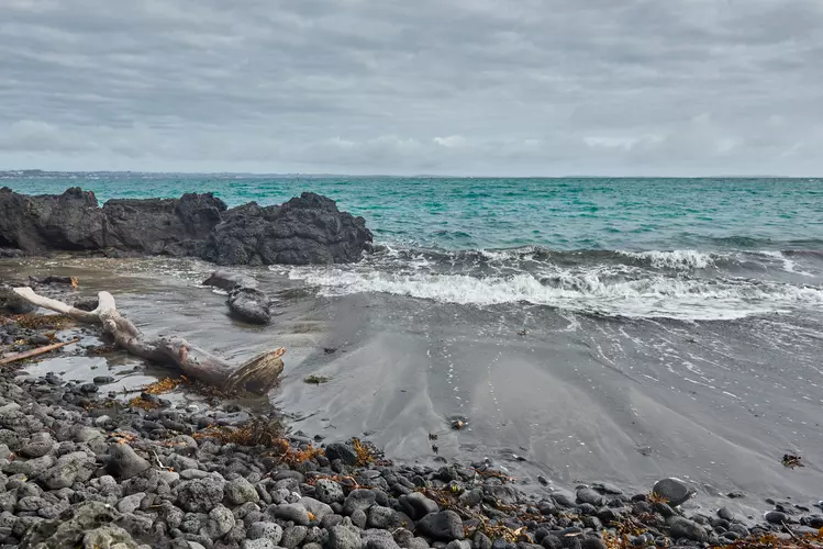
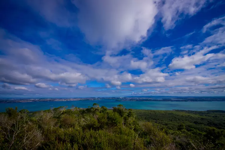
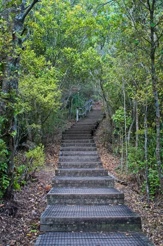
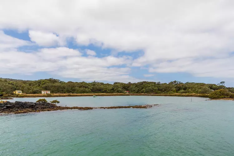
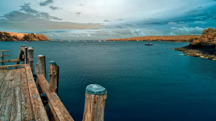
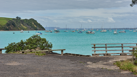
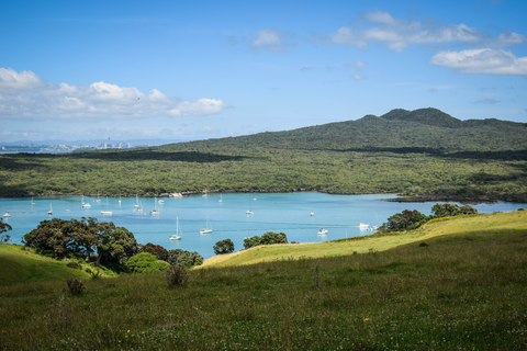
Check out some of the best hiking, walking and backpacking routes in Waiheke, New Zealand. The Rangitoto Island - Flax Point and Historic Baches is the most popular trail. There are trails of various difficulty levels including easy, medium, and difficult. The trail with the highest elevation climb is the Islington Bay Road, Summit Road, and Summit Track Loop and the trail with the least amount of climbing is the Rangitoto Island - Flax Point and Historic Baches. The longest trail is the Rangitoto and Motutapu Islands at 21.8 km. For a shorter adventure you can try the Rangitoto Island Longer Walks - Islington Bay Road to Wreck Bay at 2.6 km. Get off line access to Pharmacy, Peak, History, and Healthcare locations and much more with a Hiiker subscription.

Be prepared for hiking in New Zealand with the HiiKER app