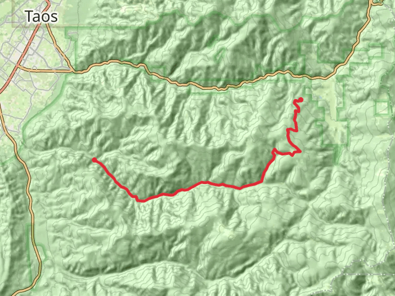
The best hikes in Taos County
New Mexico · 91 HiiKER Hikes
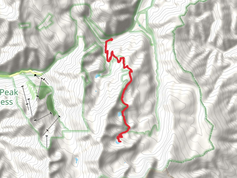
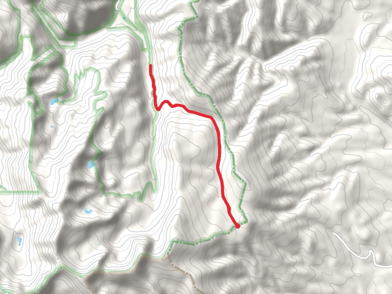
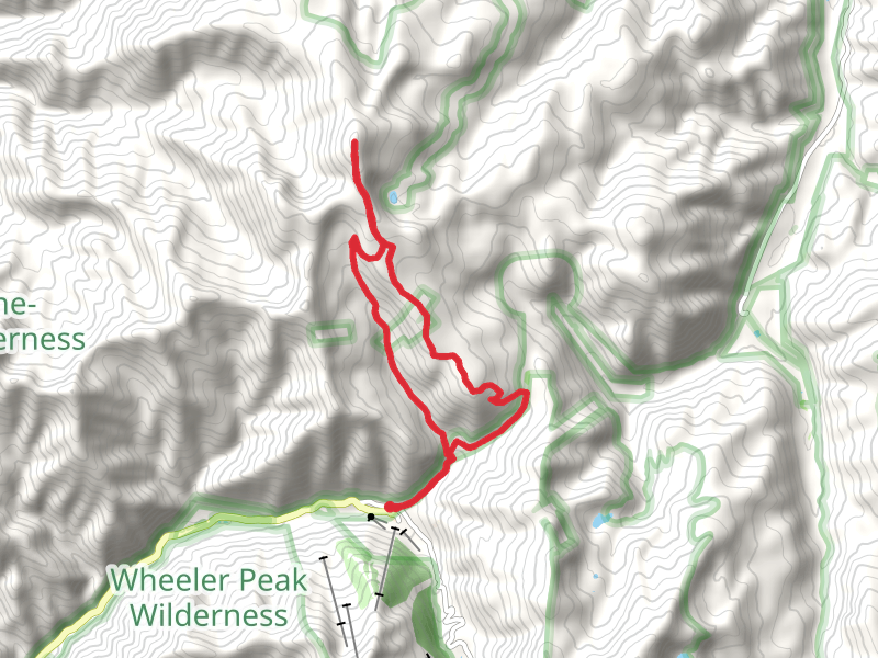
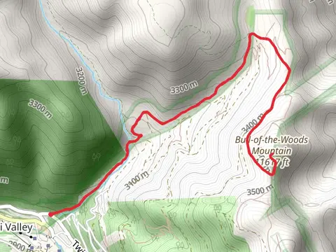
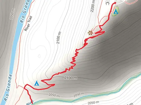
View Hikes on map
What to expect
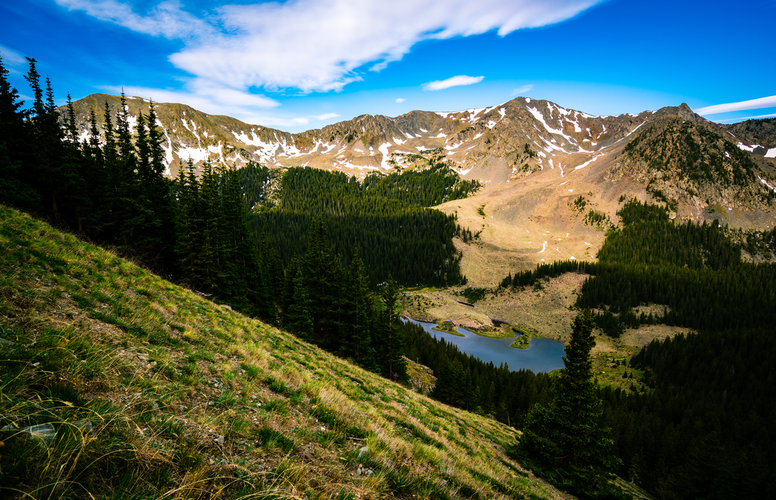
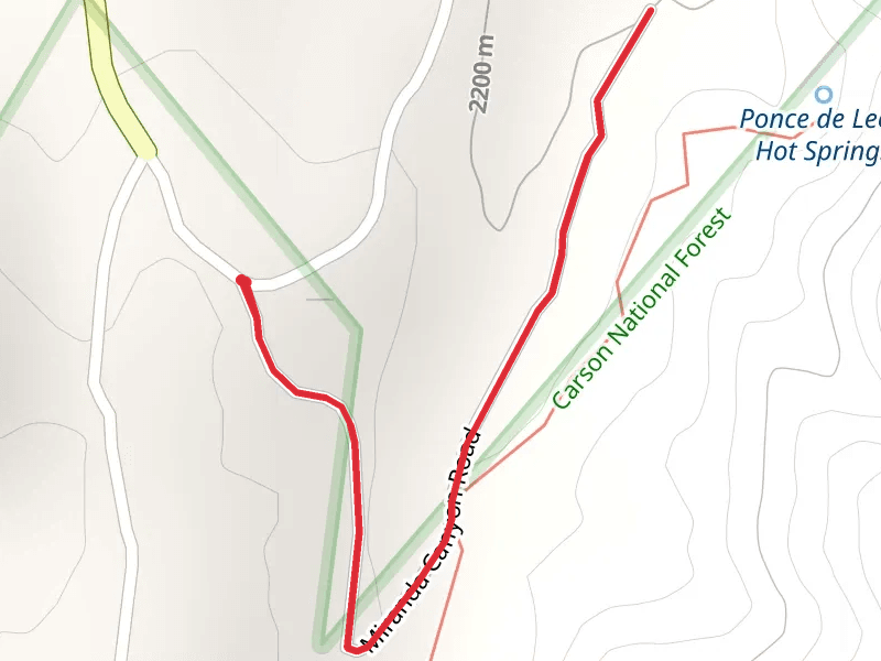
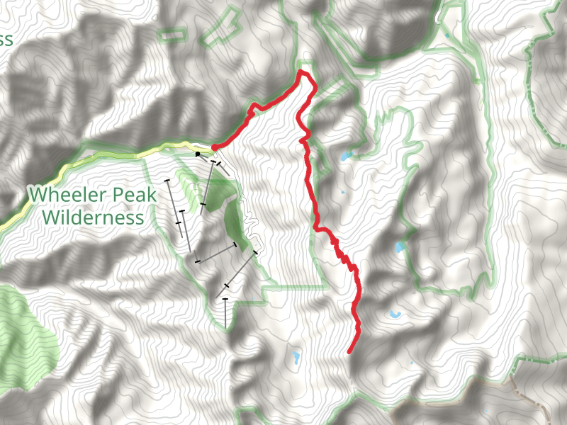
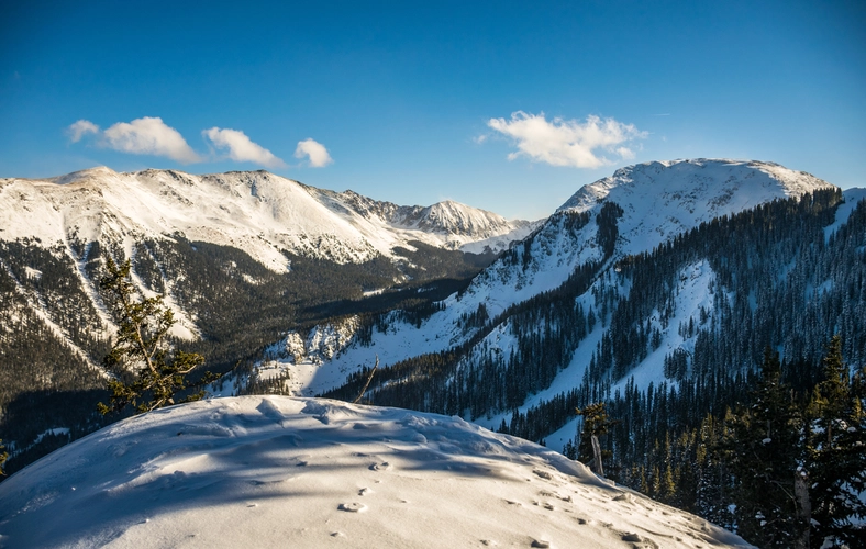
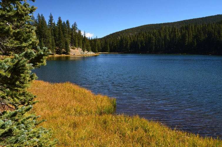
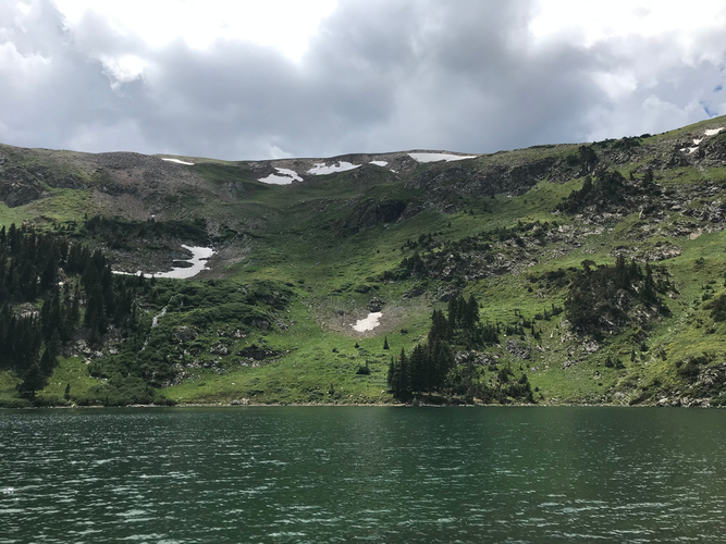
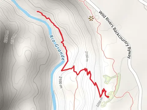
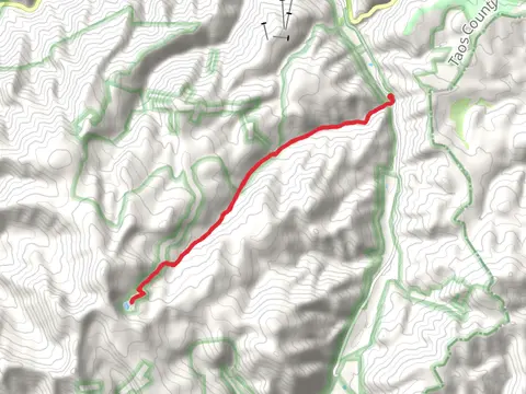
Check out some of the best hiking, walking and backpacking routes in Taos County, New Mexico. The Garcia Park is the most popular trail. The trails have 2698 user reviews with great photos and information. There are trails of various difficulty levels including easy, medium, difficult, and extra difficult. The trail with the highest elevation climb is the Wheeler Peak, Mount Walter via Wheeler Peak Trail and the trail with the least amount of climbing is the Rio Ojo Caliente Loop. The longest trail is the Middle Fork, Skyline and West Fork Loop Trail at 41.5 km. For a shorter adventure you can try the La Junta Point Campground at 446 m. Get off line access to Bus Stop, Campsite, Peak, and Viewpoint locations and much more with a Hiiker subscription.

Be prepared for hiking in New Mexico with the HiiKER app