Sacramento Rim Trail trail stages
stage 1
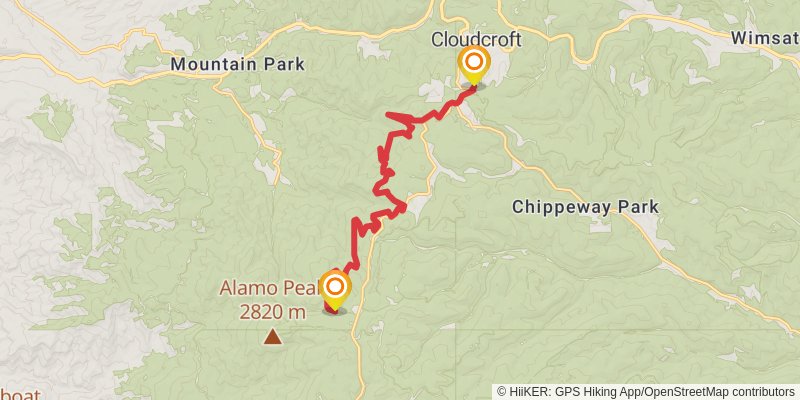
Starting at: Cloudcroft, Otero County, 88317
Ending at: High Rolls, Otero County, 88317
Distance: 18.0 km
Elevation gain: 634 m
Duration: 04:39:05
stage 2
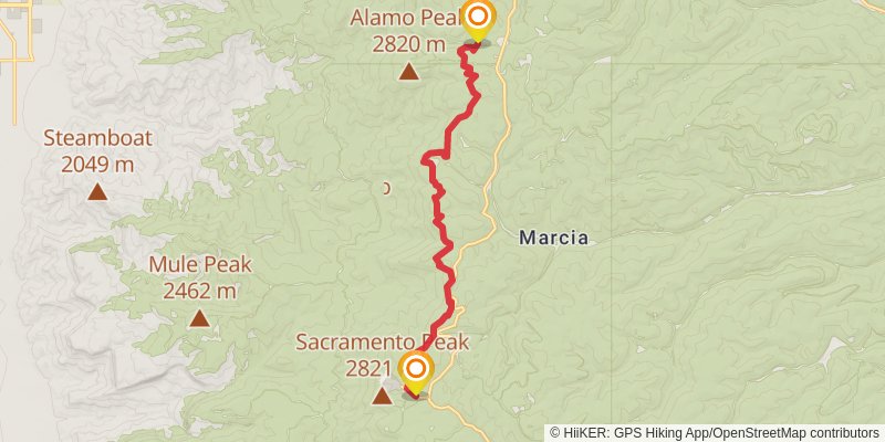
Starting at: Mountain Park, High Rolls, Otero County, 88317
Ending at: Sunspot, Otero County, 88349
Distance: 15.0 km
Elevation gain: 544 m
Duration: 03:54:25
spur 1
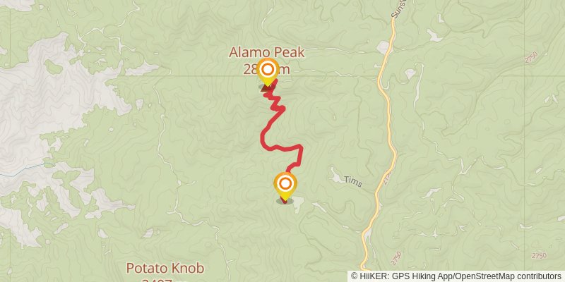
Starting at: High Rolls, Otero County, 88317
Ending at: High Rolls, Otero County, 88317
Distance: 5.2 km
Elevation gain: 456 m
Duration: 01:47:55
alt 1
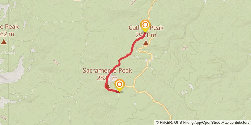
Starting at: Sunspot, Otero County, 88349
Ending at: Sunspot, Otero County, 88349
Distance: 4.6 km
Elevation gain: 122 m
Duration: 01:07:26
stage 3
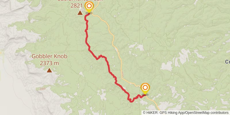
Starting at: Sunspot, Sunspot, Otero County, 88349
Ending at: Timberon, Otero County, 88350
Distance: 16.8 km
Elevation gain: 574 m
Duration: 04:18:24