Download
Preview
Add to list
More
49.7 km
~3 days
1390 m
Multi-Day
“Embark on the Sacramento Rim Trail for a historic and breathtaking trek through New Mexico's diverse wilderness.”
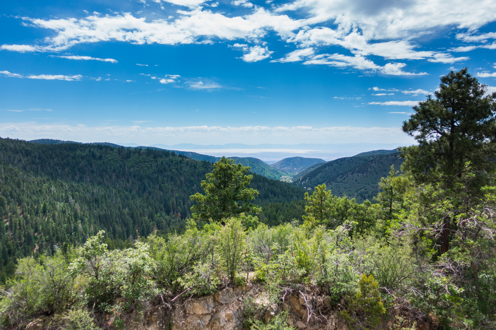
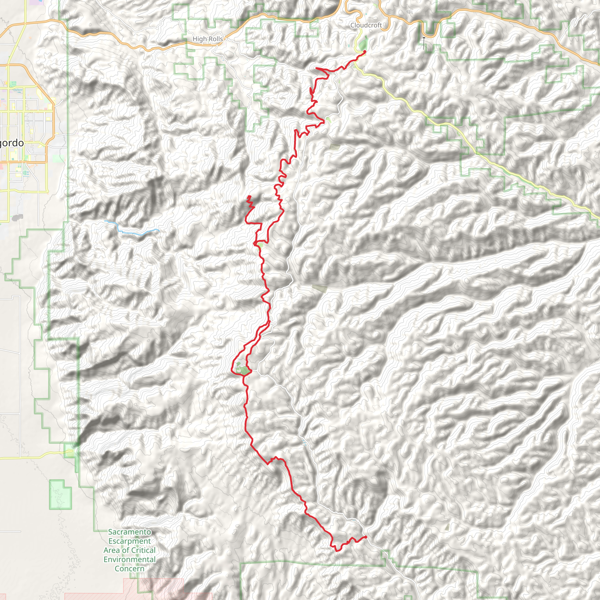
The Sacramento Rim Trail offers a diverse and scenic hiking experience through the Lincoln National Forest in New Mexico. Spanning approximately 50 kilometers (about 31 miles), with an elevation gain of around 1300 meters (approximately 4265 feet), this point-to-point trail is a journey through varied landscapes, from dense forests to open meadows, with breathtaking views of the surrounding mountains.
Getting to the Trailhead
To reach the trailhead near Otero County, hikers can drive to the vicinity of Cloudcroft, a village known for its picturesque setting and historical significance as a logging town in the early 20th century. From Cloudcroft, take US-82 E for about 16 kilometers (10 miles) until you reach Sunspot Highway (NM-6563). Continue for another 19 kilometers (12 miles) to the Sacramento Peak Observatory, which serves as a significant landmark near the trailhead. Parking is available in designated areas. Public transport options are limited in this region, so driving is the most feasible option for reaching the start of the trail.
Trail Experience
As you embark on the Sacramento Rim Trail, you'll traverse through a mix of ponderosa pine forests and aspen groves, which are particularly stunning during the fall when the leaves turn vibrant shades of yellow and gold. The trail is well-marked, but carrying a navigation tool like HiiKER is recommended to stay on track and monitor your progress.
The first section of the trail gradually ascends, offering hikers the chance to warm up their legs as they take in the fresh mountain air. Approximately 10 kilometers (6 miles) in, you'll reach an elevation where panoramic views of the Tularosa Basin unfold. This is an excellent spot for a rest and some photos.
Flora, Fauna, and Landmarks
Continuing on, the trail meanders through areas rich in wildlife. Keep an eye out for mule deer, elk, and a variety of bird species, including the occasional golden eagle. The trail also passes by historical landmarks such as old cabins and remnants of the area's mining past, providing a glimpse into the human history that has shaped this landscape.
Around the halfway point, at about 25 kilometers (15.5 miles), the trail reaches its highest elevation. Here, the White Sands National Park can be seen in the distance, offering a stark contrast to the greenery of the forest.
Preparing for the Hike
Given the trail's moderate difficulty rating, it's suitable for hikers with some experience. The elevation gain is significant, so pacing yourself and staying hydrated is crucial. Weather can change rapidly in the mountains, so be prepared with layers and rain gear. Also, be sure to pack enough food and water for the duration of the hike, as there are no facilities along the trail.
Conclusion
The Sacramento Rim Trail is a rewarding hike that offers a bit of everything: challenging climbs, historical sites, and the chance to witness the natural beauty of the Lincoln National Forest. Whether you're looking to explore the area's history or simply enjoy a day out in nature, this trail promises an enriching outdoor adventure.
What to expect?
Activity types
Comments and Reviews
User comments, reviews and discussions about the Sacramento Rim Trail, New Mexico.
4.62
average rating out of 5
13 rating(s)

