The best hikes in Coos County
New Hampshire · 379 HiiKER Hikes
View Hikes on map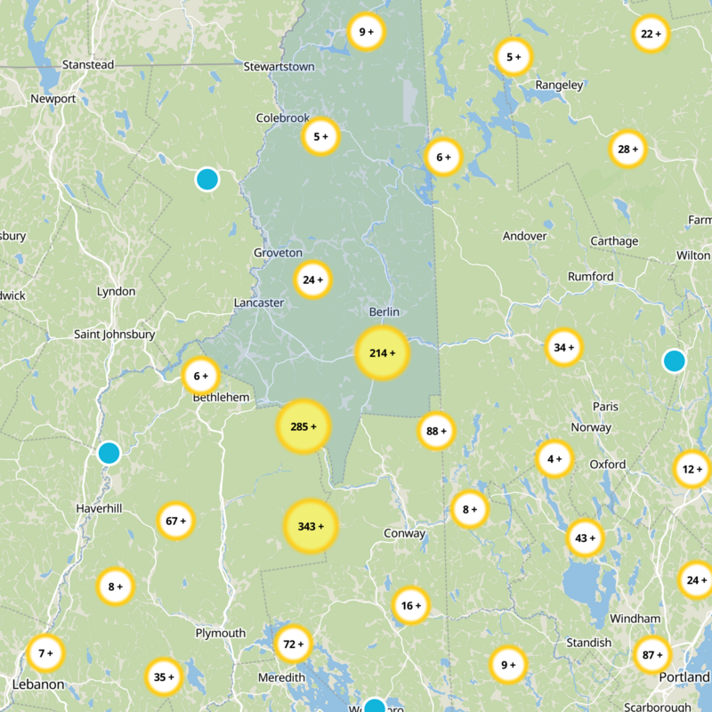

What to expect
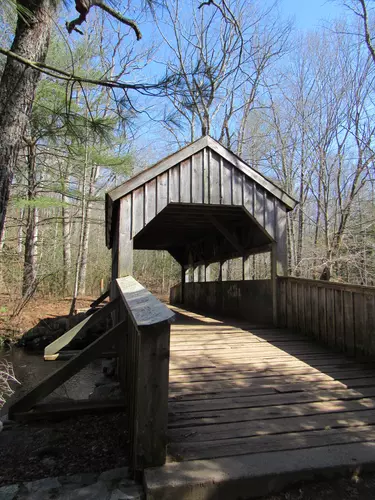
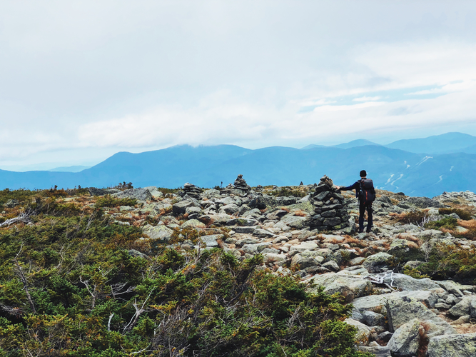
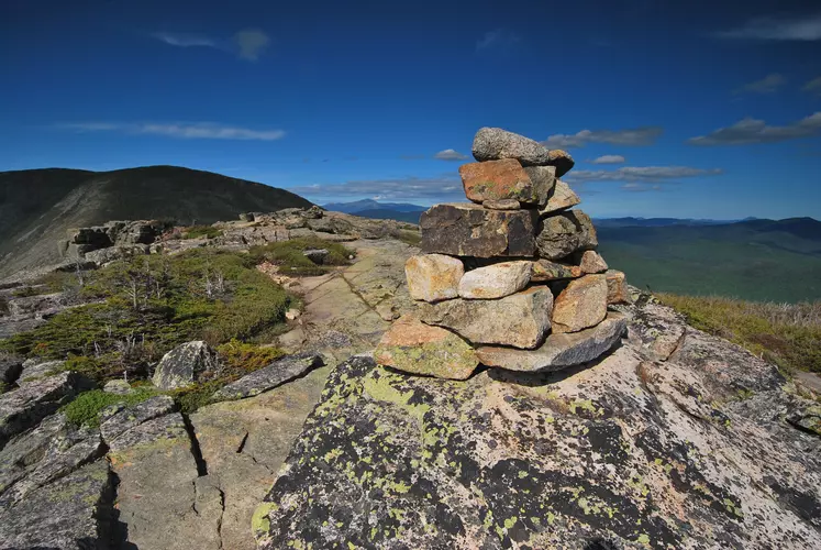
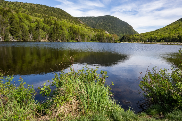
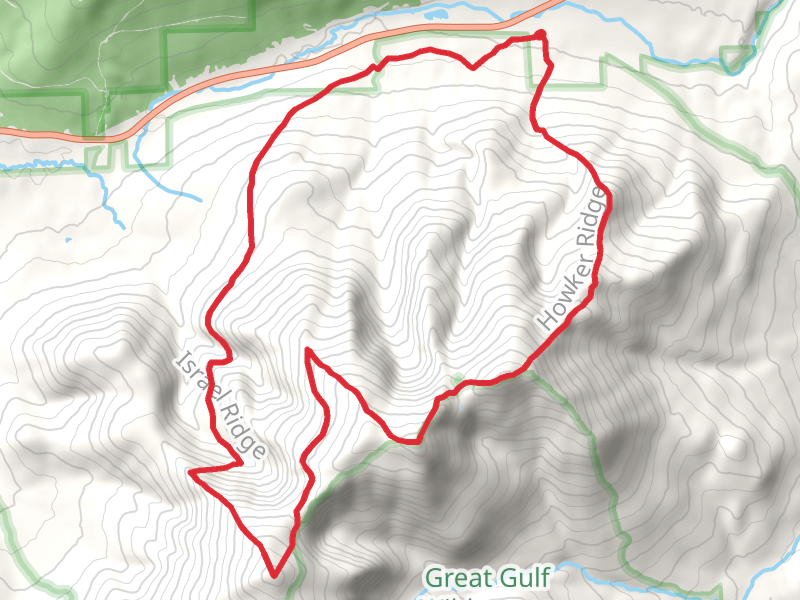
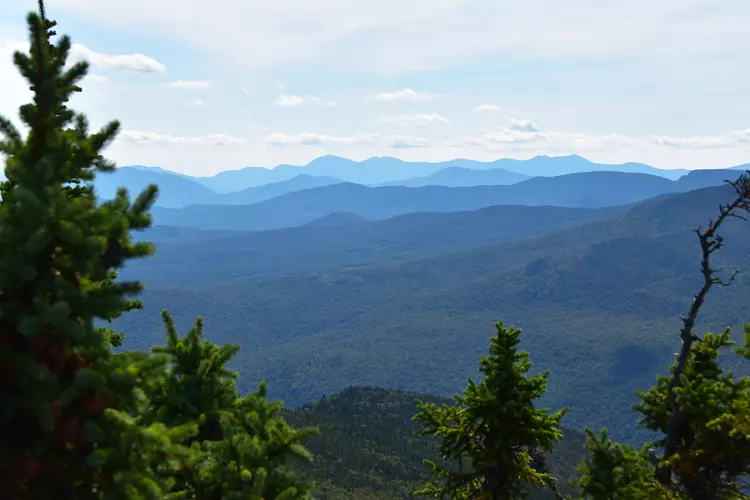
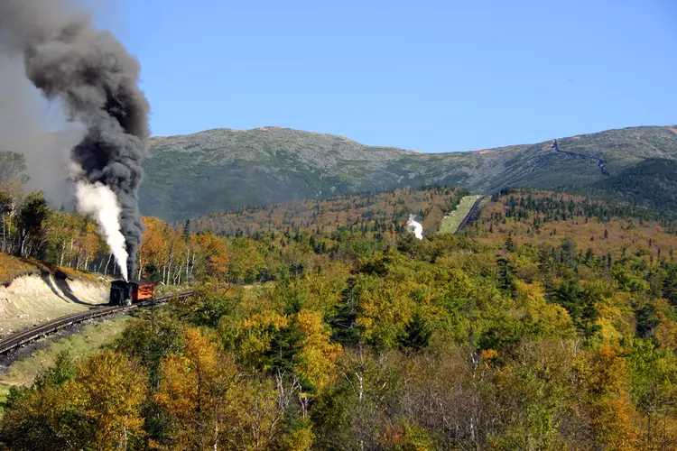
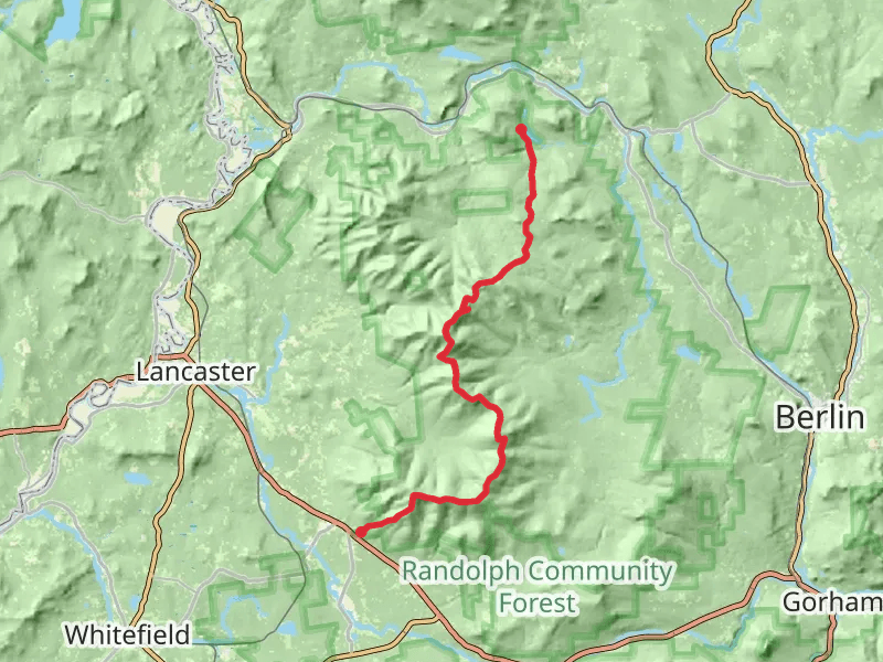
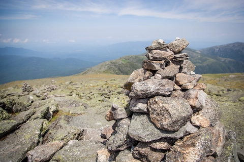
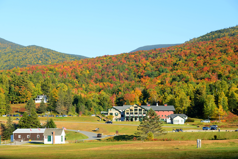
Check out some of the best hiking, walking and backpacking routes in Coos County, New Hampshire. The Appalachian Trail Section Hike - The Presidential Traverse is the most popular trail. The trails have 5808 user reviews with great photos and information. There are trails of various difficulty levels including easy, medium, difficult, and extra difficult. The trail with the highest elevation climb is the Mount Washington via Jewell Trail and the trail with the least amount of climbing is the David Dana Forest from Ridge Road. The longest trail is the South Carter Mountain, Imp Mountain and Wild River Loop via Nineteen Mile Brook Trail at 44.6 km. For a shorter adventure you can try the Townline Brook Trail at 598 m. Get off line access to Campsite, Shelter, Peak, and Water locations and much more with a Hiiker subscription.

Be prepared for hiking in New Hampshire with the HiiKER app