The best hikes in City of Carson City
Nevada · 29 HiiKER Hikes
View Hikes on map
What to expect
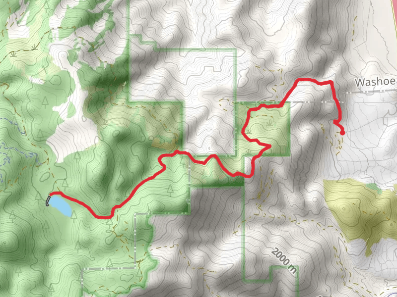
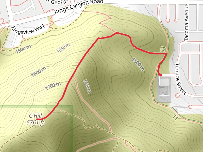
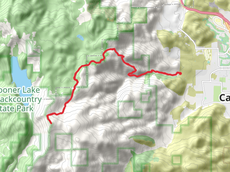
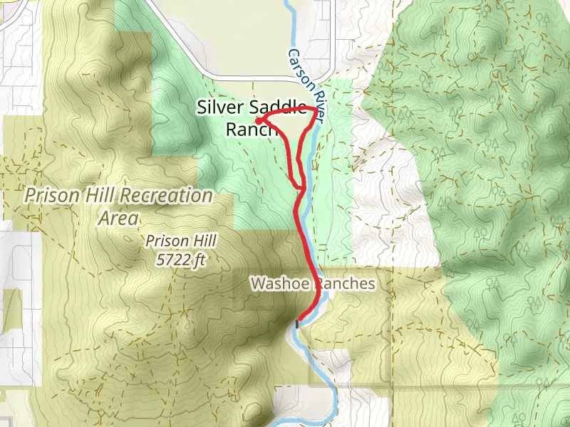
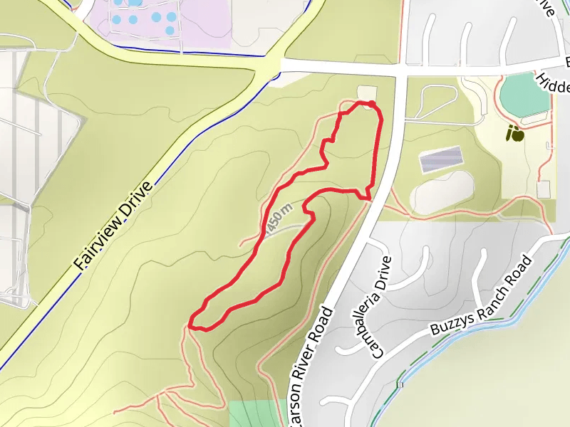
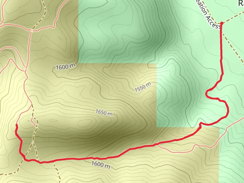
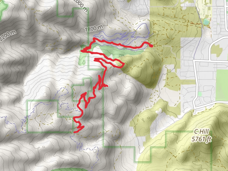
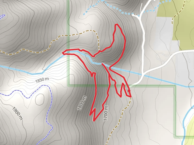
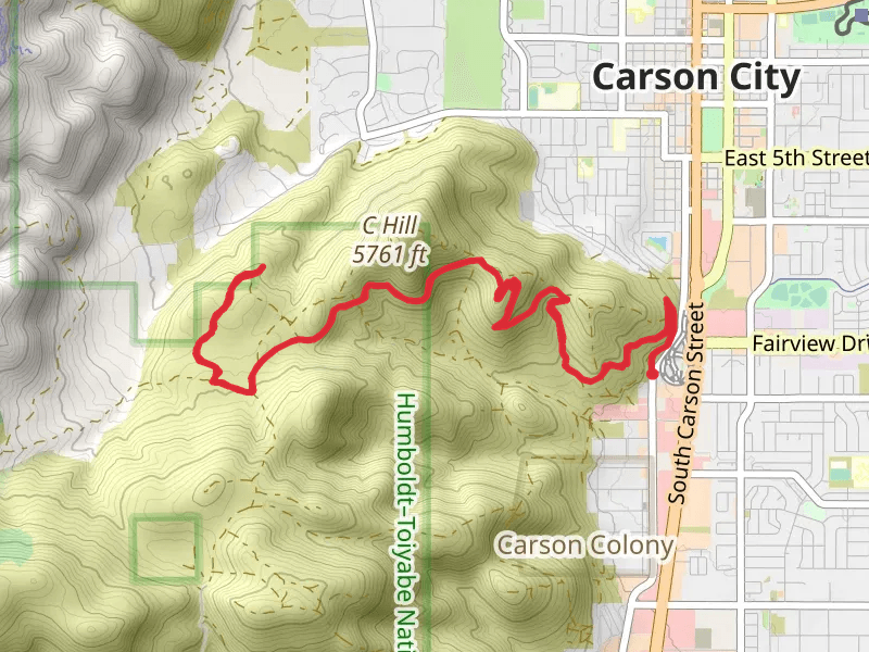
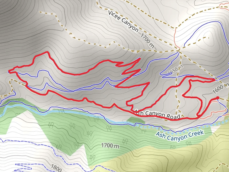
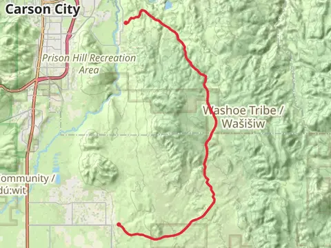
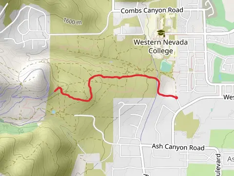
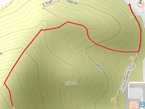
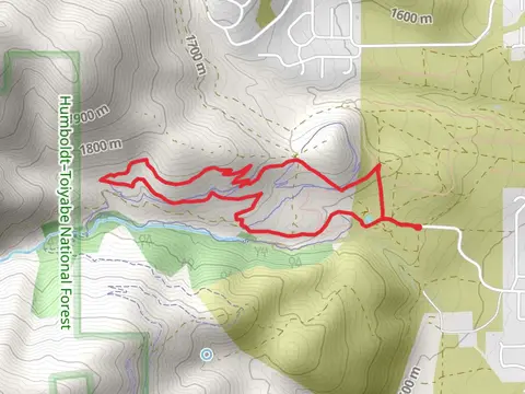
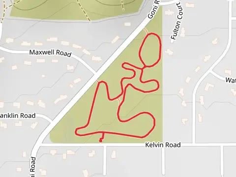
Check out some of the best hiking, walking and backpacking routes in City of Carson City, Nevada. The C Hill from McKay Drive is the most popular trail. There are trails of various difficulty levels including easy and medium. The trail with the highest elevation climb is the Snow Valley Peak via Ash Canyon Road and the trail with the least amount of climbing is the Carson River Loop. The longest trail is the Sunrise Pass Road Walk at 27.9 km. For a shorter adventure you can try the Carson River Loop at 983 m. Get off line access to Shop, Healthcare, Restaurant, and Fastfood locations and much more with a Hiiker subscription.

Be prepared for hiking in Nevada with the HiiKER app