The best hikes in Hampden County
Massachusetts · 121 HiiKER Hikes
View Hikes on map
What to expect
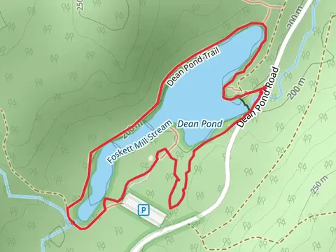
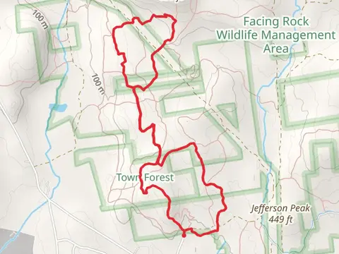
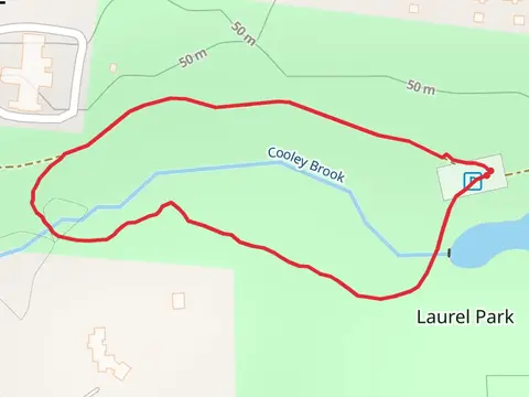
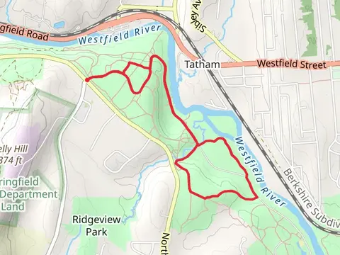
Check out some of the best hiking, walking and backpacking routes in Hampden County, Massachusetts. The Metacomet-monadnock Trail is the most popular trail. The trails have 1936 user reviews with great photos and information. There are trails of various difficulty levels including easy, medium, difficult, and extra difficult. The trail with the highest elevation climb is the Metacomet-monadnock Trail and the trail with the least amount of climbing is the Cooley Brook - Bliss Park Loop. The longest trail is the Metacomet-monadnock Trail at 196.3 km. For a shorter adventure you can try the Connecticut River from Northampton Street at 364 m. Get off line access to History, Healthcare, Town, and Peak locations and much more with a Hiiker subscription.

Be prepared for hiking in Massachusetts with the HiiKER app