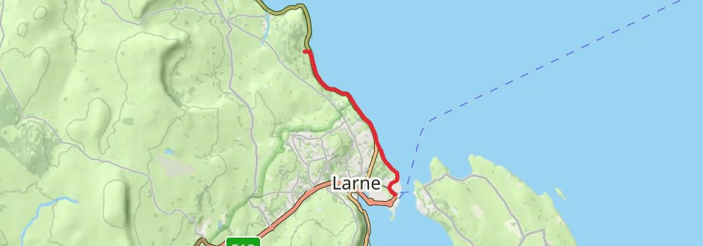
International Appalachian Trail trail stages
stage 1
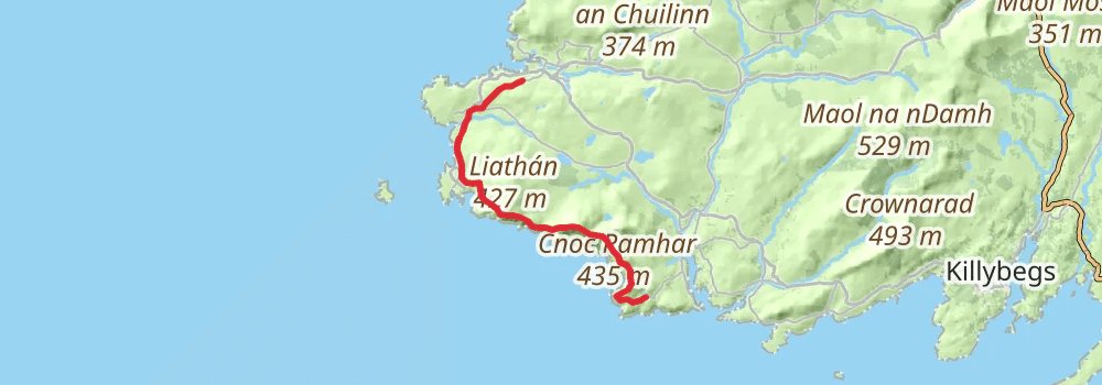
Starting at: Glencolumbkille, County Donegal, F94 C8K3
Ending at: Kilgoly, County Donegal
Distance: 18.5 km
Elevation gain: 1135 m
Duration: 05:35:33
stage 2
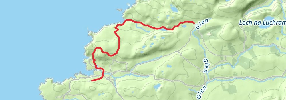
Starting at: Kilgoly, County Donegal
Ending at: Kilgoly, County Donegal
Distance: 16.2 km
Elevation gain: 565 m
Duration: 04:10:59
stage 3
stage 4
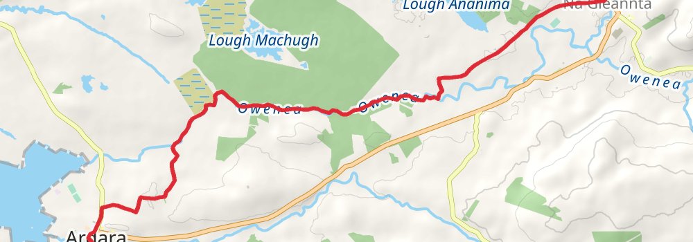
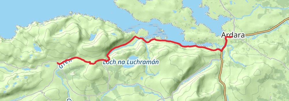
Starting at: Brae House B&B, Ardara, County Donegal, F94 RX43
Ending at: Glenties, County Donegal, F94 KX93
Distance: 11.6 km
Elevation gain: 108 m
Duration: 02:30:20
stage 5

stage 6
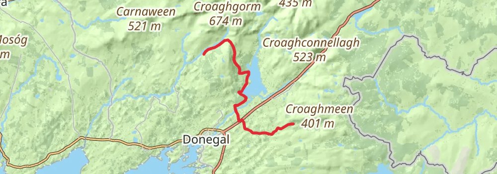
Starting at: Haugh, County Donegal
Ending at: Tullynaught, County Donegal, F94 EP28
Distance: 20.2 km
Elevation gain: 472 m
Duration: 04:50:02
stage 7
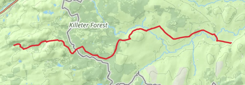
Starting at: Tullynaught, County Donegal, F94 EP28
Ending at: Killeter, County Tyrone, BT81 7XF
Distance: 25.0 km
Elevation gain: 319 m
Duration: 05:31:39
stage 8
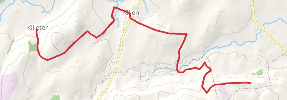
Starting at: Killeter, County Tyrone, BT81 7XF
Ending at: County Tyrone, BT78 4PT
Distance: 14.7 km
Elevation gain: 346 m
Duration: 03:31:04
stage 9
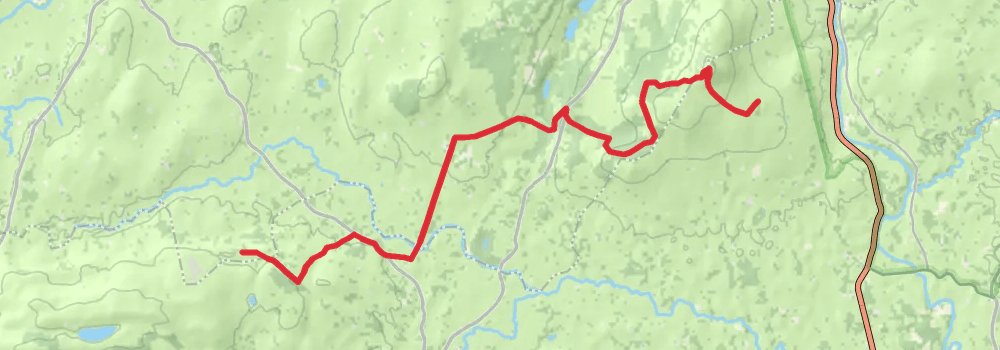
Starting at: Fermanagh and Omagh, Fermanagh and Omagh, BT78 4PT
Ending at: County Tyrone, BT78 4AQ
Distance: 18.7 km
Elevation gain: 507 m
Duration: 04:35:12
stage 10
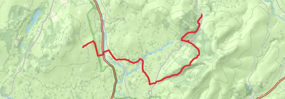
Starting at: County Tyrone, BT78 4AQ
Ending at: County Tyrone, BT79 8PQ
Distance: 19.7 km
Elevation gain: 536 m
Duration: 04:49:35
stage 11
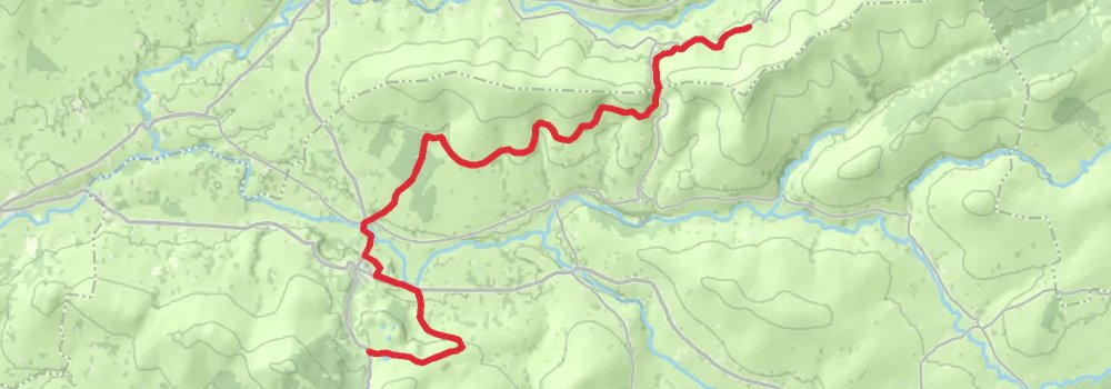
Starting at: County Tyrone, BT79 8PQ
Ending at: County Tyrone, BT79 8LR
Distance: 18.0 km
Elevation gain: 378 m
Duration: 04:13:15
stage 12
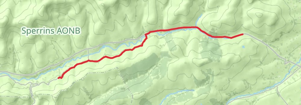
Starting at: County Tyrone, BT79 8LR
Ending at: Mid-Ulster, County Londonderry
Distance: 15.9 km
Elevation gain: 261 m
Duration: 03:36:27
stage 13

Starting at: Mid-Ulster, County Londonderry
Ending at: Glenshane, County Londonderry
Distance: 18.4 km
Elevation gain: 689 m
Duration: 04:50:02
stage 14
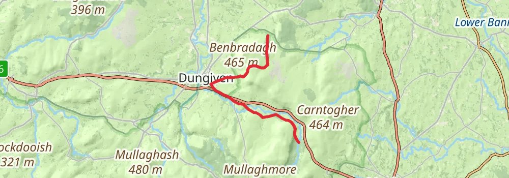
Starting at: Glenshane, County Londonderry
Ending at: County Londonderry, BT49 0PX
Distance: 19.3 km
Elevation gain: 426 m
Duration: 04:34:10
stage 15
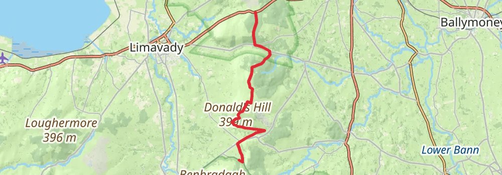
Starting at: County Londonderry, BT49 0PX
Ending at: County Londonderry
Distance: 21.9 km
Elevation gain: 557 m
Duration: 05:18:20
stage 16
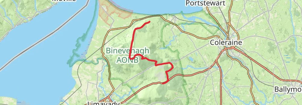
Starting at: County Londonderry
Ending at: Downhill, County Londonderry, BT51 4SA
Distance: 20.6 km
Elevation gain: 265 m
Duration: 04:33:27
stage 17
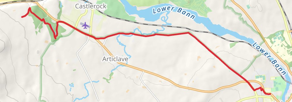
Starting at: Downhill, County Londonderry, BT51 4SA
Ending at: Coleraine, County Londonderry, BT51 3LR
Distance: 12.3 km
Elevation gain: 115 m
Duration: 02:38:27
stage 18

Starting at: Royal Mail, Coleraine, County Londonderry, BT51 3DX
Ending at: Portballintrae, County Antrim, BT57 8RZ
Distance: 27.0 km
Elevation gain: 403 m
Duration: 06:04:51
stage 19
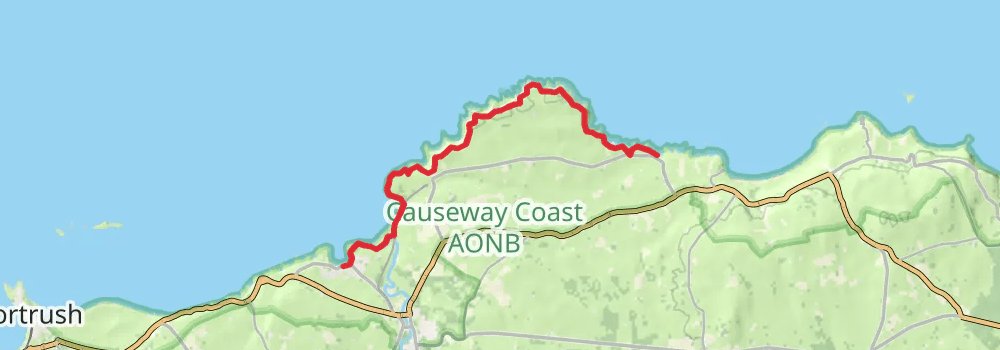
Starting at: Portballintrae, County Antrim, BT57 8RZ
Ending at: Dunseverick, County Antrim, BT57 8SR
Distance: 13.3 km
Elevation gain: 654 m
Duration: 03:44:38
stage 20

Starting at: Dunseverick, County Antrim, BT57 8SR
Ending at: Ballycastle, County Antrim, BT54 6EG
Distance: 15.4 km
Elevation gain: 343 m
Duration: 03:38:58
stage 21
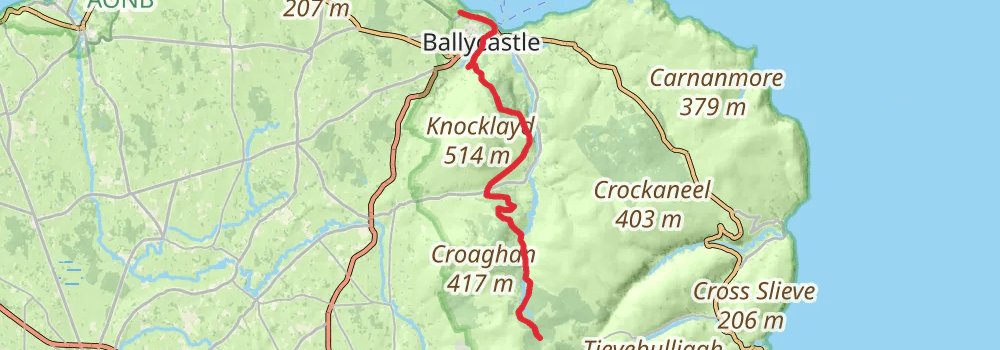
Starting at: Ballycastle, County Antrim, BT54 6EG
Ending at: County Antrim
Distance: 23.1 km
Elevation gain: 702 m
Duration: 05:47:00
stage 22
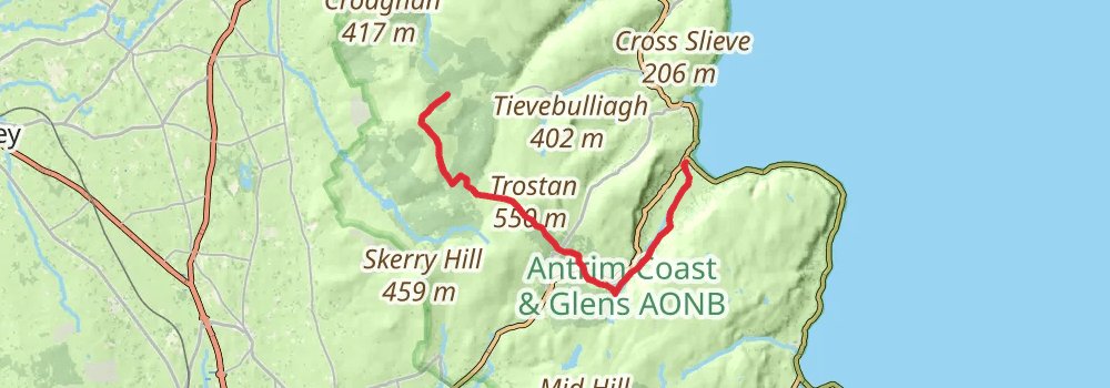
Starting at: County Antrim
Ending at: Waterfoot, County Antrim, BT44 0RB
Distance: 21.6 km
Elevation gain: 406 m
Duration: 05:00:09
stage 23
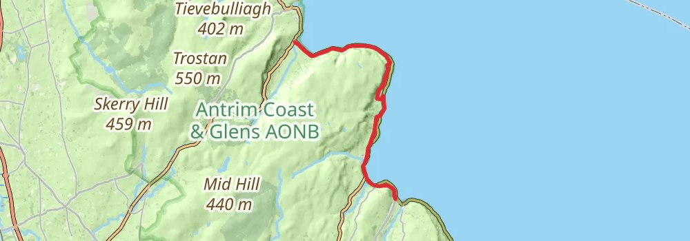
Starting at: The Mariner, Waterfoot, County Antrim, BT44 0RB
Ending at: Glenarm, County Antrim, BT44 0AB
Distance: 18.9 km
Elevation gain: 310 m
Duration: 04:17:19
stage 24
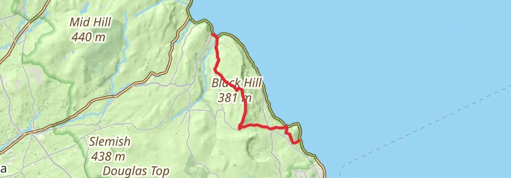
Starting at: Glenarm, County Antrim, BT44 0AB
Distance: 18.2 km
Elevation gain: 532 m
Duration: 04:31:44
stage 25
