Continental Divide Trail - Montana And Idaho trail stages
stage 59
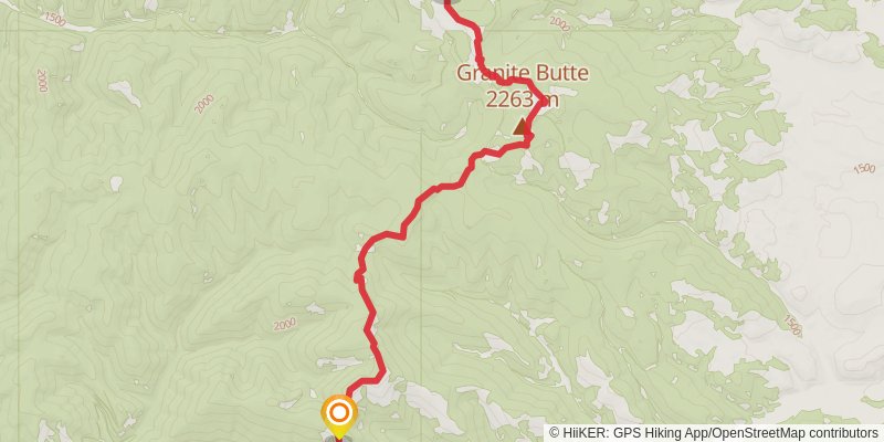
Starting at: Lewis and Clark County, 59633
Ending at: Lincoln, Lewis and Clark County, 59639
Distance: 16.7 km
Elevation gain: 702 m
Duration: 04:30:34
stage 60
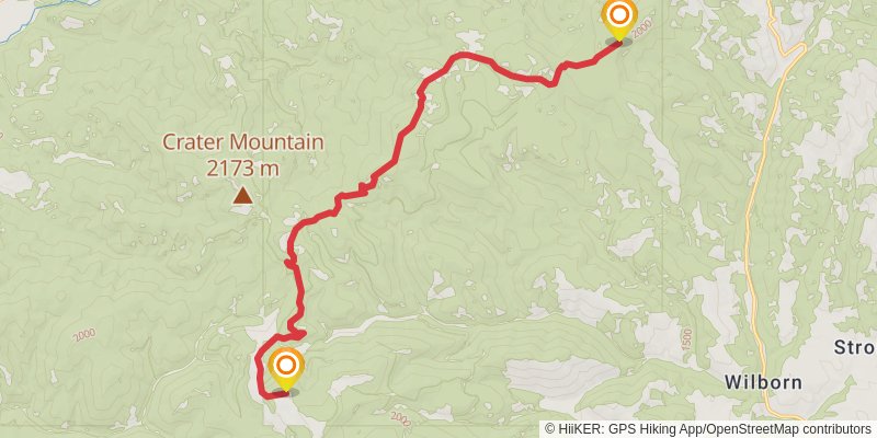
Starting at: Lewis and Clark County, 59639
Ending at: Canyon Creek, Lewis and Clark County, 59633
Distance: 17.7 km
Elevation gain: 593 m
Duration: 04:31:40
stage 61
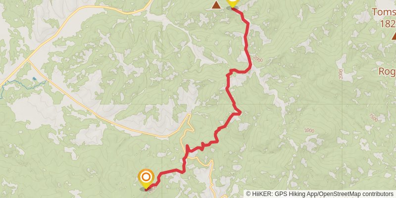
Starting at: Lewis and Clark County, 59633
Ending at: Lincoln, Lewis and Clark County, 59639
Distance: 16.4 km
Elevation gain: 789 m
Duration: 04:35:48
stage 62
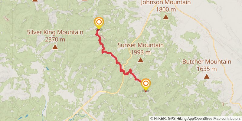
Starting at: Lewis and Clark County, 59639
Ending at: Wolf Creek, Lewis and Clark County, 59648
Distance: 20.9 km
Elevation gain: 1017 m
Duration: 05:52:55
stage 63
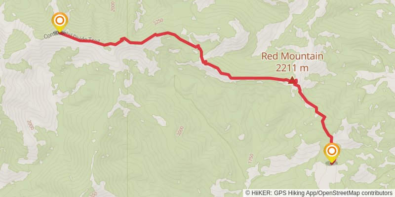
Starting at: Packers, Lewis and Clark County, 59410
Ending at: Augusta, Lewis and Clark County, 59410
Distance: 10.3 km
Elevation gain: 665 m
Duration: 03:10:11
stage 64
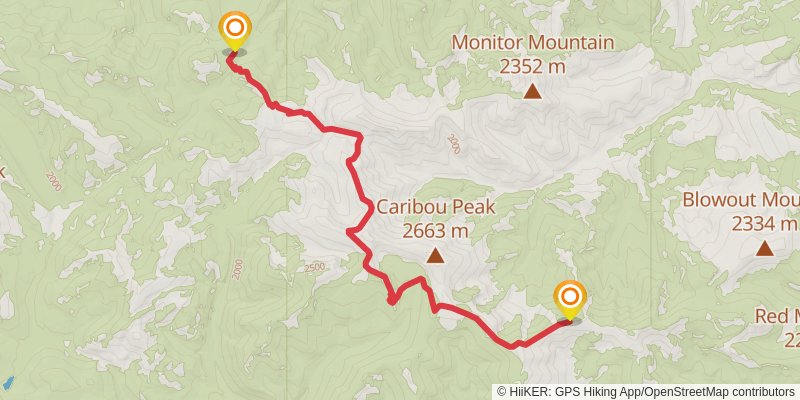
Starting at: Packers, Lewis and Clark County, 59639
Ending at: Augusta, Lewis and Clark County, 59410
Distance: 17.4 km
Elevation gain: 648 m
Duration: 04:33:47
stage 65
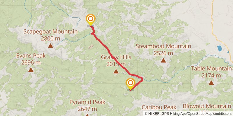
Starting at: Packers, Lewis and Clark County, 59410
Ending at: Augusta, Lewis and Clark County, 59410
Distance: 19.3 km
Elevation gain: 418 m
Duration: 04:32:45
stage 66
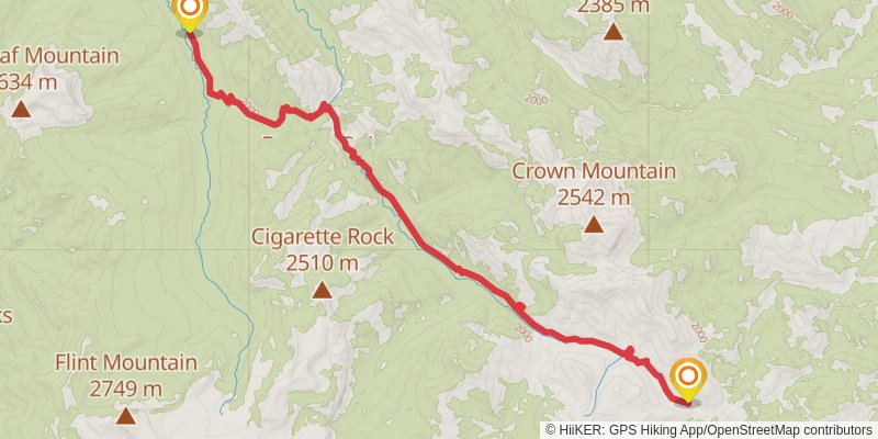
Starting at: Packers, Lewis and Clark County, 59410
Ending at: Augusta, Lewis and Clark County, 59410
Distance: 18.2 km
Elevation gain: 527 m
Duration: 04:31:00
stage 67
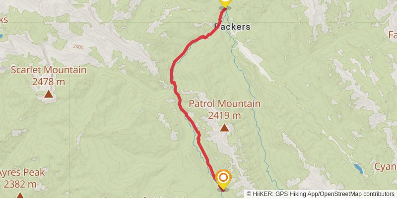
Starting at: Packers, Lewis and Clark County, 59410
Ending at: Augusta, Lewis and Clark County, 59410
Distance: 12.0 km
Elevation gain: 200 m
Duration: 02:44:28
stage 68
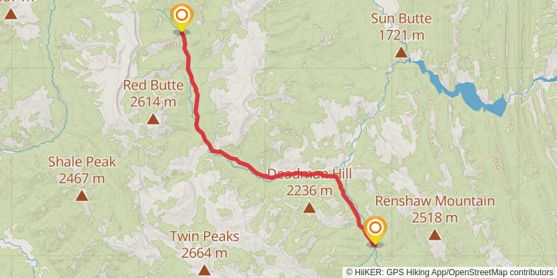
Starting at: Packers, Lewis and Clark County, 59410
Ending at: Augusta, Lewis and Clark County, 59410
Distance: 26.3 km
Elevation gain: 619 m
Duration: 06:16:57
stage 69
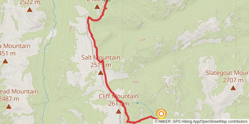
Starting at: Packers, Lewis and Clark County, 59410
Ending at: Augusta, Lewis and Clark County, 59410
Distance: 17.3 km
Elevation gain: 930 m
Duration: 05:00:15
stage 70
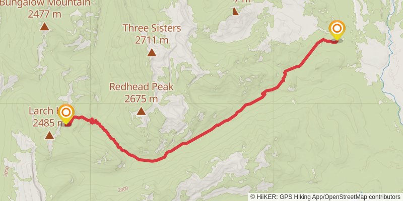
Starting at: My Lake, Augusta, Lewis and Clark County, 59410
Ending at: Augusta, Lewis and Clark County, 59410
Distance: 18.6 km
Elevation gain: 220 m
Duration: 04:04:57
alt 3
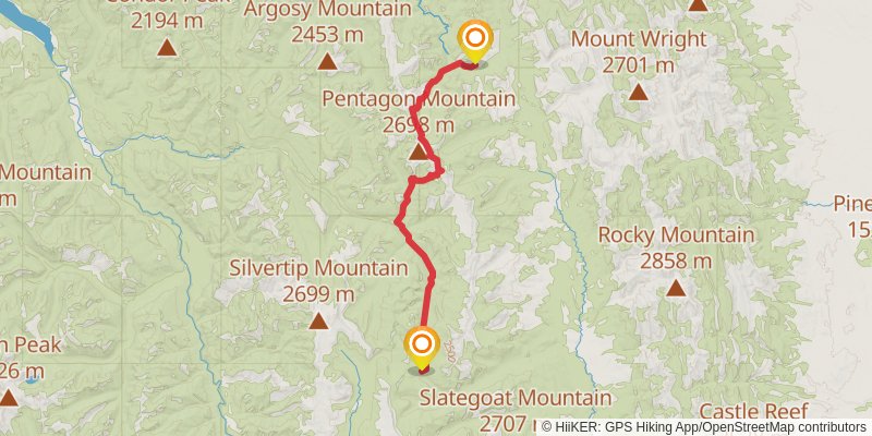
Starting at: Hungry Horse, Lewis and Clark County, 59919
Ending at: Hungry Horse, Flathead County, 59919
Distance: 43.1 km
Elevation gain: 1502 m
Duration: 11:07:21
stage 71
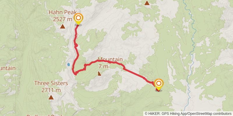
Starting at: Packers, Lewis and Clark County, 59410
Ending at: Augusta, Lewis and Clark County, 59410
Distance: 16.3 km
Elevation gain: 763 m
Duration: 04:31:51
stage 72
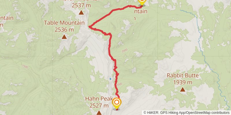
Starting at: Packers, Lewis and Clark County, 59410
Ending at: Augusta, Lewis and Clark County, 59410
Distance: 17.5 km
Elevation gain: 604 m
Duration: 04:30:54
stage 73
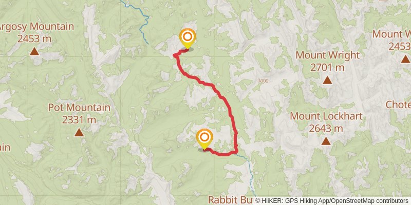
Starting at: Packers, Lewis and Clark County, 59410
Ending at: Hungry Horse, Flathead County, 59919
Distance: 19.5 km
Elevation gain: 378 m
Duration: 04:32:08
stage 74
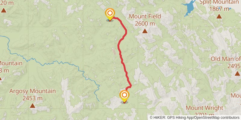
Ending at: Hungry Horse, Pondera County, 59919
Distance: 19.4 km
Elevation gain: 503 m
Duration: 04:42:36
stage 75
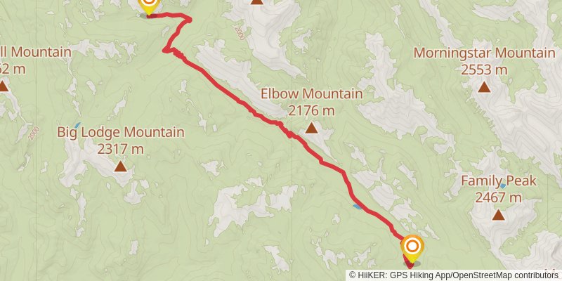
Starting at: Cox Creek, Hungry Horse, Flathead County, 59919
Ending at: Pondera County
Distance: 17.2 km
Elevation gain: 535 m
Duration: 04:20:07
stage 76
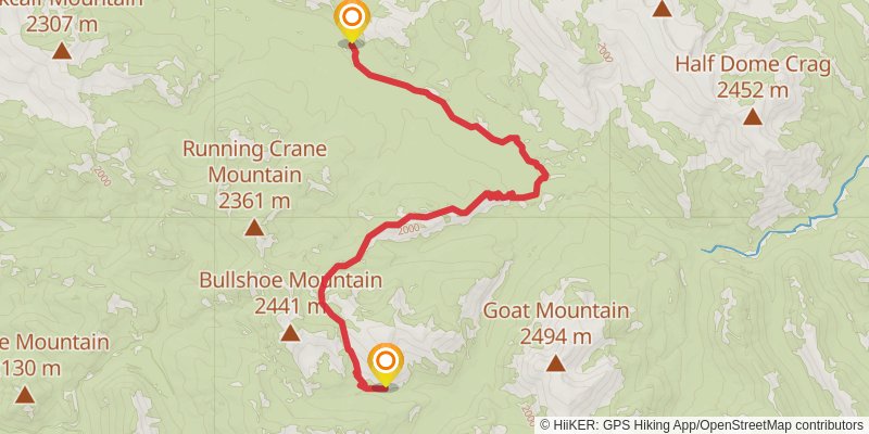
Starting at: Pondera County
Ending at: Pondera County
Distance: 17.2 km
Elevation gain: 662 m
Duration: 04:32:53
stage 77
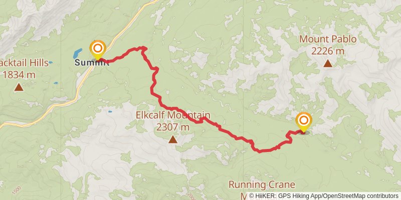
Starting at: South Fork Two Medicine River, Pondera County
Ending at: East Glacier Park, Pondera County, 59434
Distance: 17.2 km
Elevation gain: 568 m
Duration: 04:23:12
stage 78
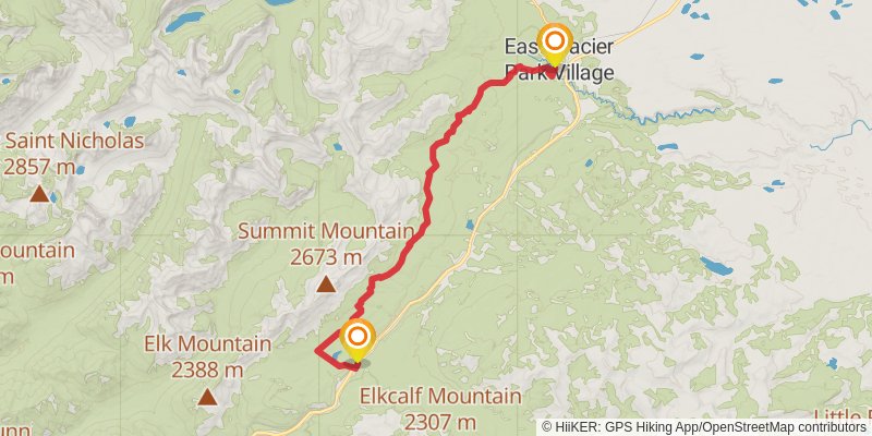
Starting at: Summit, East Glacier Park, Glacier County, 59434
Distance: 24.9 km
Elevation gain: 739 m
Duration: 06:13:07
stage 79
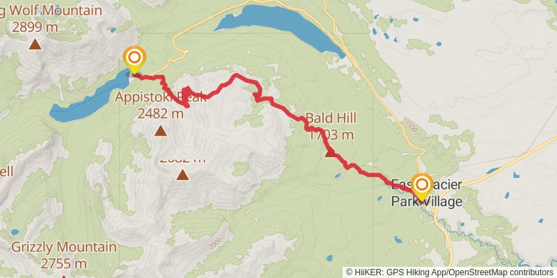
Starting at: East Glacier Park Village, Glacier County, 59434
Ending at: East Glacier Park, Glacier County, 59434
Distance: 17.2 km
Elevation gain: 936 m
Duration: 05:00:00
stage 80
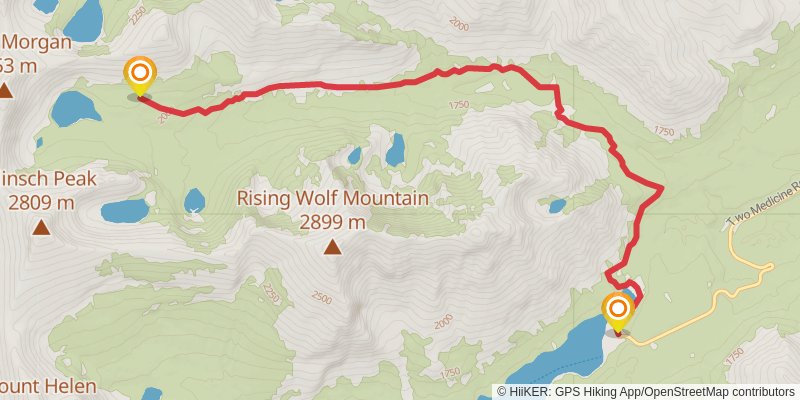
Ending at: East Glacier Park, Glacier County, 59434
Distance: 10.8 km
Elevation gain: 613 m
Duration: 03:10:35
stage 81
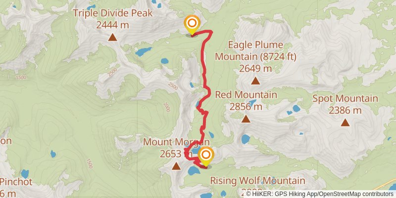
Starting at: Glacier County, 59434
Ending at: East Glacier Park, Glacier County, 59434
Distance: 12.6 km
Elevation gain: 414 m
Duration: 03:12:15
stage 82
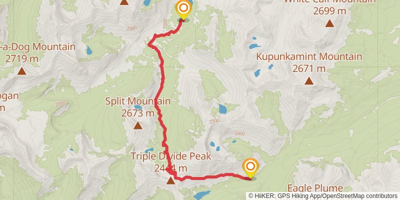
Starting at: Rising Sun, Glacier County, 59434
Ending at: East Glacier Park, Glacier County, 59434
Distance: 16.1 km
Elevation gain: 776 m
Duration: 04:30:15
stage 83
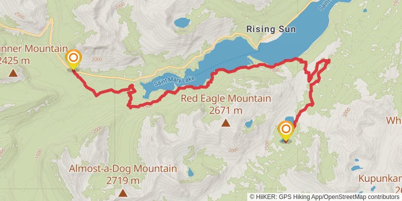
Distance: 25.7 km
Elevation gain: 1115 m
Duration: 06:59:28
stage 84
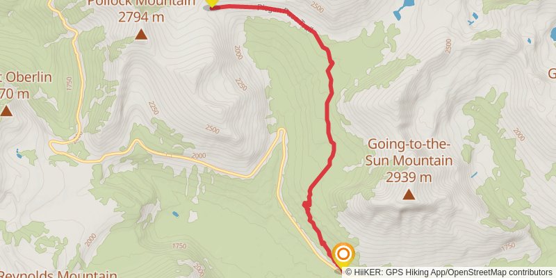
Ending at: Browning, Glacier County, 59417
Distance: 7.5 km
Elevation gain: 773 m
Duration: 02:47:25
stage 85
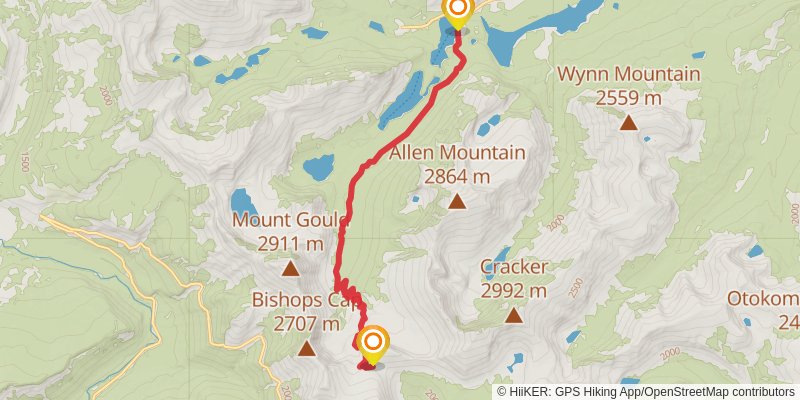
Starting at: Glacier County, 59417
Ending at: Browning, Glacier County, 59417
Distance: 13.3 km
Elevation gain: 210 m
Duration: 03:00:14
stage 86
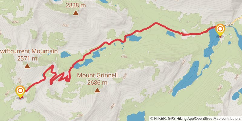
Starting at: Browning, Glacier County, 59417
Ending at: West Glacier, Glacier County, 59936
Distance: 14.6 km
Elevation gain: 921 m
Duration: 04:26:46
alt 4
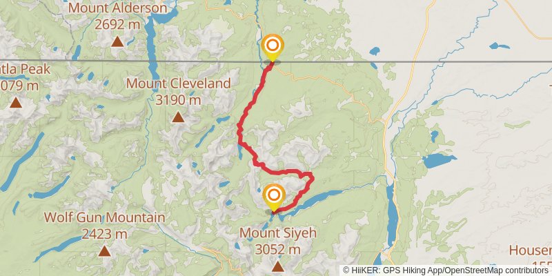
Starting at: Browning, Glacier County, 59417
Ending at: Browning, Glacier County, 59417
Distance: 44.4 km
Elevation gain: 1866 m
Duration: 11:58:47