The best hikes in Fremont County
Idaho · 21 HiiKER Hikes
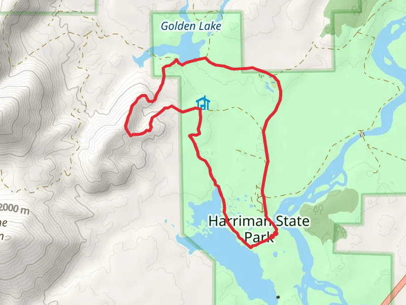
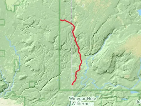
View Hikes on map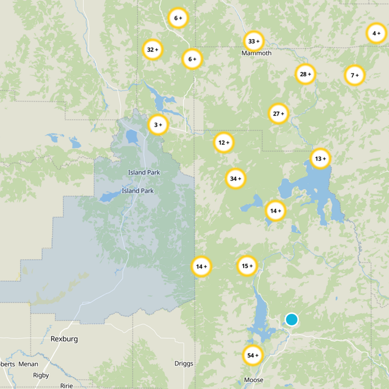
What to expect
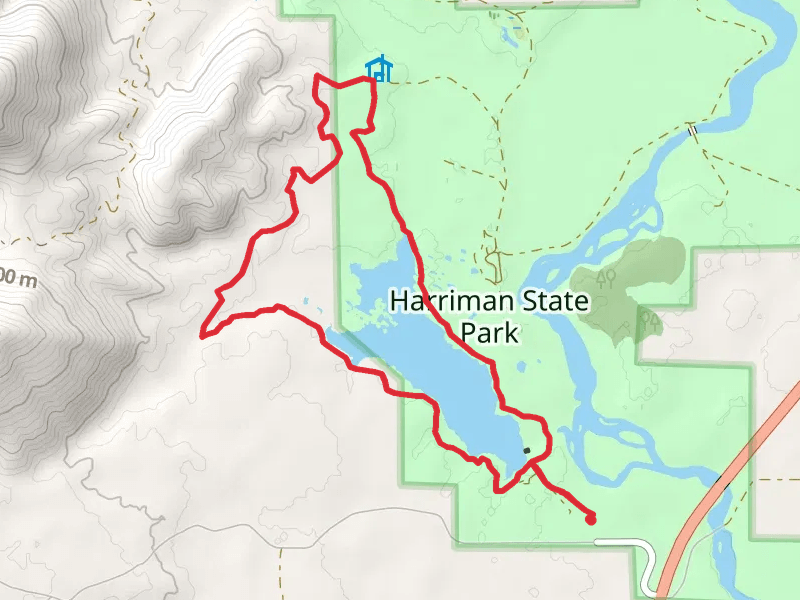
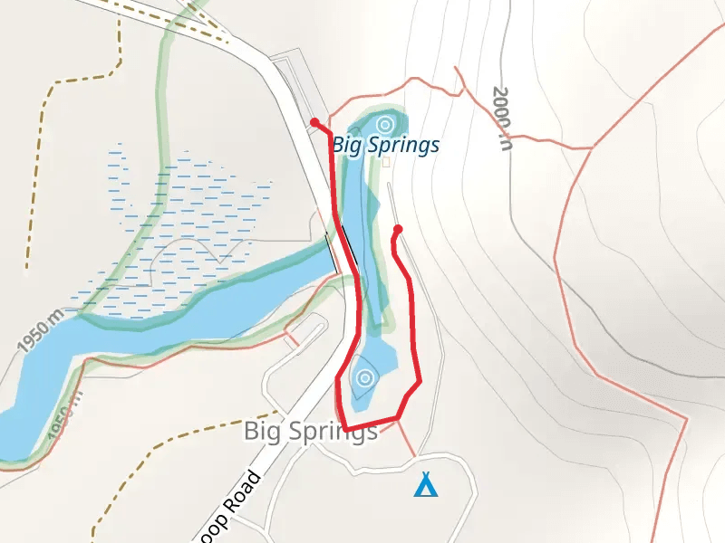
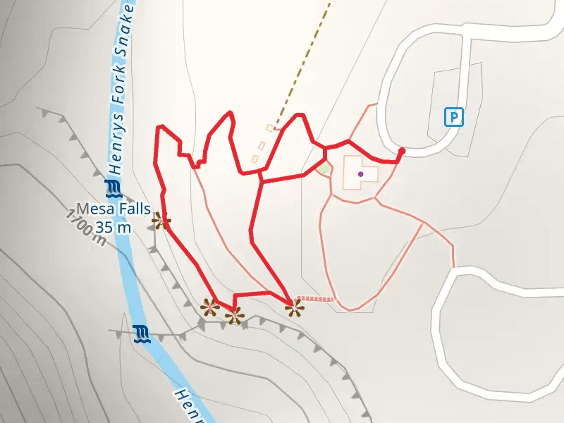
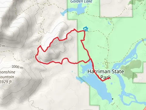
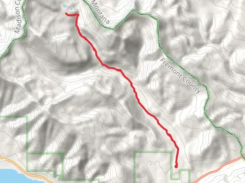
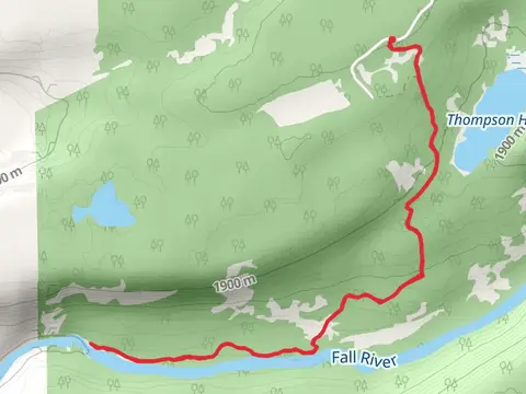
Check out some of the best hiking, walking and backpacking routes in Fremont County, Idaho. The Continental Divide Trail - Montana And Idaho is the most popular trail. The trails have 911 user reviews with great photos and information. There are trails of various difficulty levels including easy, medium, difficult, and extra difficult. The trail with the highest elevation climb is the Continental Divide Trail - Montana And Idaho and the trail with the least amount of climbing is the North Fork Snake River Walk along. The longest trail is the Continental Divide Trail - Montana And Idaho at 1541.7 km. For a shorter adventure you can try the Big Springs Loop Road at 591 m. Get off line access to Campsite, Viewpoint, Water, and Peak locations and much more with a Hiiker subscription.

Be prepared for hiking in Idaho with the HiiKER app