13.8 km
~3 hrs 9 min
236 m
“The 14 km Mühlenweg and Lutherweg Loop offers medium-difficulty hiking through scenic landscapes and historical sites.”
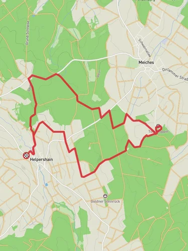
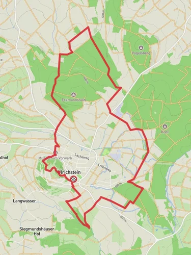
Starting near Vogelsbergkreis, Germany, the Mühlenweg and Lutherweg Loop is a captivating 14 km (8.7 miles) trail with an elevation gain of approximately 200 meters (656 feet). This loop trail is rated medium in difficulty, making it suitable for moderately experienced hikers.
### Getting There To reach the trailhead, you can drive or use public transport. If driving, set your GPS to the nearest known address: Lauterbach, Vogelsbergkreis, Germany. For those using public transport, take a train to Lauterbach (Hess) Nord station, and from there, you can catch a local bus or taxi to the trailhead.
### Trail Overview The trail begins with a gentle ascent, allowing you to ease into the hike. As you progress, you'll encounter a mix of forested areas and open fields, providing a diverse range of scenery. The initial 3 km (1.9 miles) will take you through dense woodlands, where you might spot local wildlife such as deer and various bird species.
### Historical Significance One of the highlights of this trail is its historical significance. The Lutherweg section of the loop is named after Martin Luther, the seminal figure in the Protestant Reformation. As you hike, you'll come across several informational plaques detailing Luther's journey through this region. Around the 5 km (3.1 miles) mark, you'll find a small chapel that dates back to the 16th century, offering a perfect spot for a short rest and some reflection.
### Landmarks and Points of Interest At approximately 7 km (4.3 miles), you'll reach the Mühlenweg section, which translates to "Mill Path." This part of the trail is dotted with old mills, some of which have been restored and are operational. The sound of water flowing and the sight of these historical structures add a unique charm to the hike. One notable mill is the Alte Mühle, located around the 9 km (5.6 miles) point, where you can take a break and enjoy a picnic.
### Navigation and Safety Navigating the Mühlenweg and Lutherweg Loop is straightforward, but it's always wise to have a reliable navigation tool. The HiiKER app is highly recommended for this purpose, as it provides detailed maps and real-time updates. The trail is well-marked, but having HiiKER ensures you stay on track, especially in the more remote sections.
### Flora and Fauna The trail is rich in biodiversity. In the spring and summer months, you'll find a variety of wildflowers, including orchids and lilies, particularly in the open meadow sections around the 11 km (6.8 miles) mark. The forested areas are home to oak, beech, and pine trees, creating a lush canopy that provides shade and a cool environment for hiking.
### Final Stretch The last 3 km (1.9 miles) of the trail loop back towards the starting point, offering a gentle descent through more open fields and small villages. This section provides panoramic views of the Vogelsbergkreis region, making it a picturesque end to your hike.
By the time you complete the loop, you'll have experienced a blend of natural beauty, historical landmarks, and diverse wildlife, making the Mühlenweg and Lutherweg Loop a memorable hiking adventure.
Reviews
User comments, reviews and discussions about the Mühlenweg and Lutherweg Loop, Germany.
4.0
average rating out of 5
1 rating(s)


