12.1 km
~2 hrs 50 min
259 m
“A picturesque 12 km loop blending natural beauty, historical landmarks, and serene water bodies near Schwandorf.”
Starting near Schwandorf, Germany, the Buergerweiher and Obersee via Warbergweg trail is a picturesque 12 km (7.5 miles) loop with an elevation gain of approximately 200 meters (656 feet). This medium-difficulty hike offers a blend of natural beauty, historical landmarks, and serene water bodies, making it a rewarding experience for hikers of various skill levels.
### Getting There To reach the trailhead, you can either drive or use public transport. If driving, set your GPS to Schwandorf, Germany, and look for parking near the town center. For those using public transport, Schwandorf is well-connected by train. From the Schwandorf train station, it's a short walk to the trailhead.
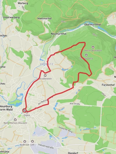
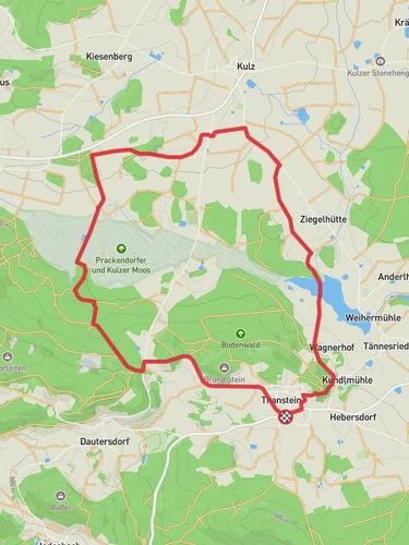
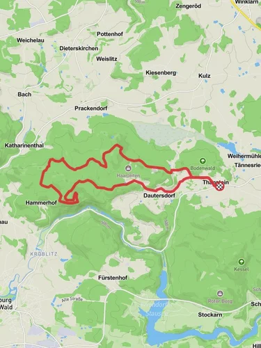
### Trail Overview The trail begins near the town center of Schwandorf, leading you through a mix of forested areas and open landscapes. As you start, you'll notice the well-marked path, which is part of the Warbergweg network. The initial section is relatively flat, allowing you to ease into the hike.
### Buergerweiher About 3 km (1.9 miles) into the hike, you'll reach Buergerweiher, a tranquil pond surrounded by lush greenery. This is an excellent spot for a short break, where you can enjoy the serene environment and perhaps spot some local wildlife, such as ducks and small fish. The area around Buergerweiher is also rich in birdlife, so keep your binoculars handy if you're a birdwatching enthusiast.
### Obersee Continuing on, the trail gradually ascends towards Obersee, another beautiful water body located approximately 6 km (3.7 miles) from the start. The elevation gain here is gentle but noticeable, offering panoramic views of the surrounding countryside as you climb. Obersee is larger than Buergerweiher and provides a more expansive view, making it a perfect spot for photography or a longer rest.
### Historical Significance The region around Schwandorf has a rich history, with several landmarks dating back to medieval times. As you hike, you'll pass by remnants of old fortifications and possibly even some ancient stone markers. These historical elements add a layer of intrigue to the hike, making it not just a physical journey but also a walk through time.
### Navigation and Safety The trail is well-marked, but it's always a good idea to have a reliable navigation tool. HiiKER is recommended for its detailed maps and real-time updates. Ensure you have adequate water and snacks, as there are limited facilities along the trail. The terrain is varied but manageable, with some rocky sections that may require careful footing.
### Flora and Fauna The trail is rich in biodiversity. You'll walk through dense forests of oak and beech, interspersed with open meadows that bloom with wildflowers in the spring and summer. Wildlife is abundant, with chances to see deer, foxes, and a variety of bird species. The changing seasons offer different experiences, from the vibrant colors of autumn leaves to the fresh greenery of spring.
### Final Stretch The last 3 km (1.9 miles) of the trail loop back towards Schwandorf, descending gradually and offering a relaxing end to your hike. As you approach the town, you'll pass through more open fields and small wooded areas, providing a gentle transition back to civilization.
This trail offers a balanced mix of natural beauty, historical intrigue, and moderate physical challenge, making it a must-visit for hikers exploring the Schwandorf region.
Reviews
User comments, reviews and discussions about the Buergerweiher and Obersee via Warbergweg, Germany.
0.0
average rating out of 5
0 rating(s)


