The best hikes in Saarpfalz-Kreis
Germany · 31 HiiKER Hikes
View Hikes on map
What to expect
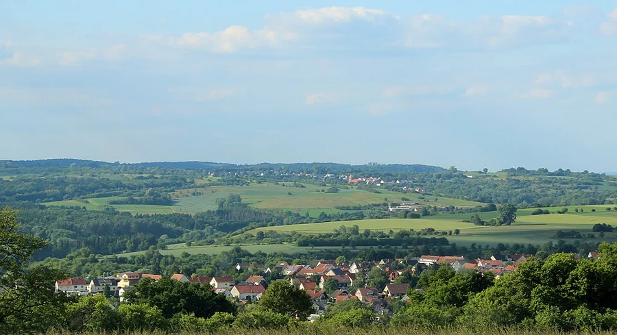
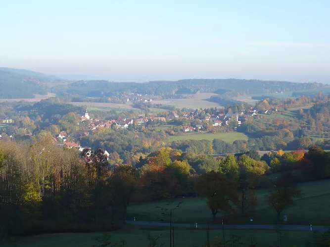
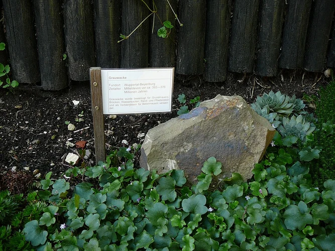
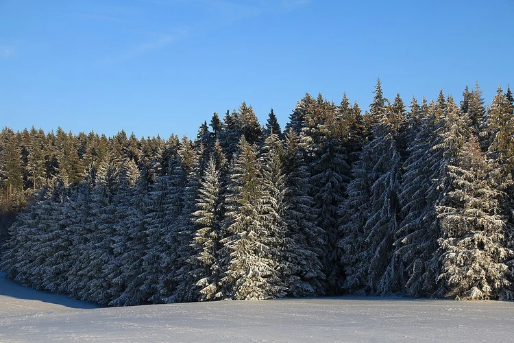
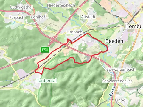
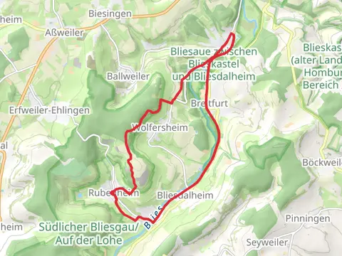
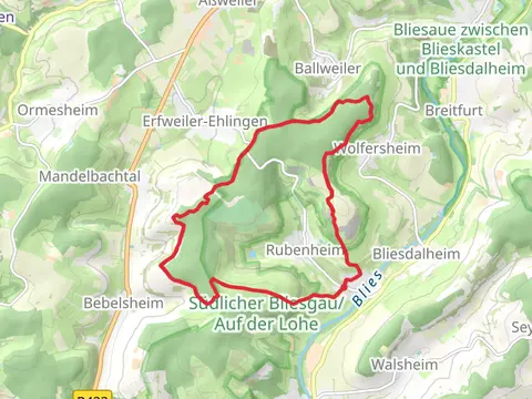
Check out some of the best hiking, walking and backpacking routes in Saarpfalz-Kreis, Germany. The Kahlenberg and Rothenkopf Loop is the most popular trail. The trails have 96 user reviews with great photos and information. There are trails of various difficulty levels including easy, medium, and difficult. The trail with the highest elevation climb is the Fördermaschinenhaus via Pfaelzerwald Gruen Gelbes Kreuz and the trail with the least amount of climbing is the Saegeweiher via Saar Rhein Wanderweg and Tannen Rundwanderweg. The longest trail is the Rubenheim and Blickweiler Loop at 16.3 km. For a shorter adventure you can try the Wasserfelsen and Florianbrunnen via Geologischer Lehrpfad at 3.9 km. Get off line access to Shelter, Peak, Restaurant, and Viewpoint locations and much more with a Hiiker subscription.

Be prepared for hiking in Germany with the HiiKER app