Download
Preview
Add to list
More
13.5 km
~3 hrs 15 min
345 m
Loop
“The Heckendalheim Loop is a scenic 13 km trail weaving through history, wildlife, and panoramic views.”
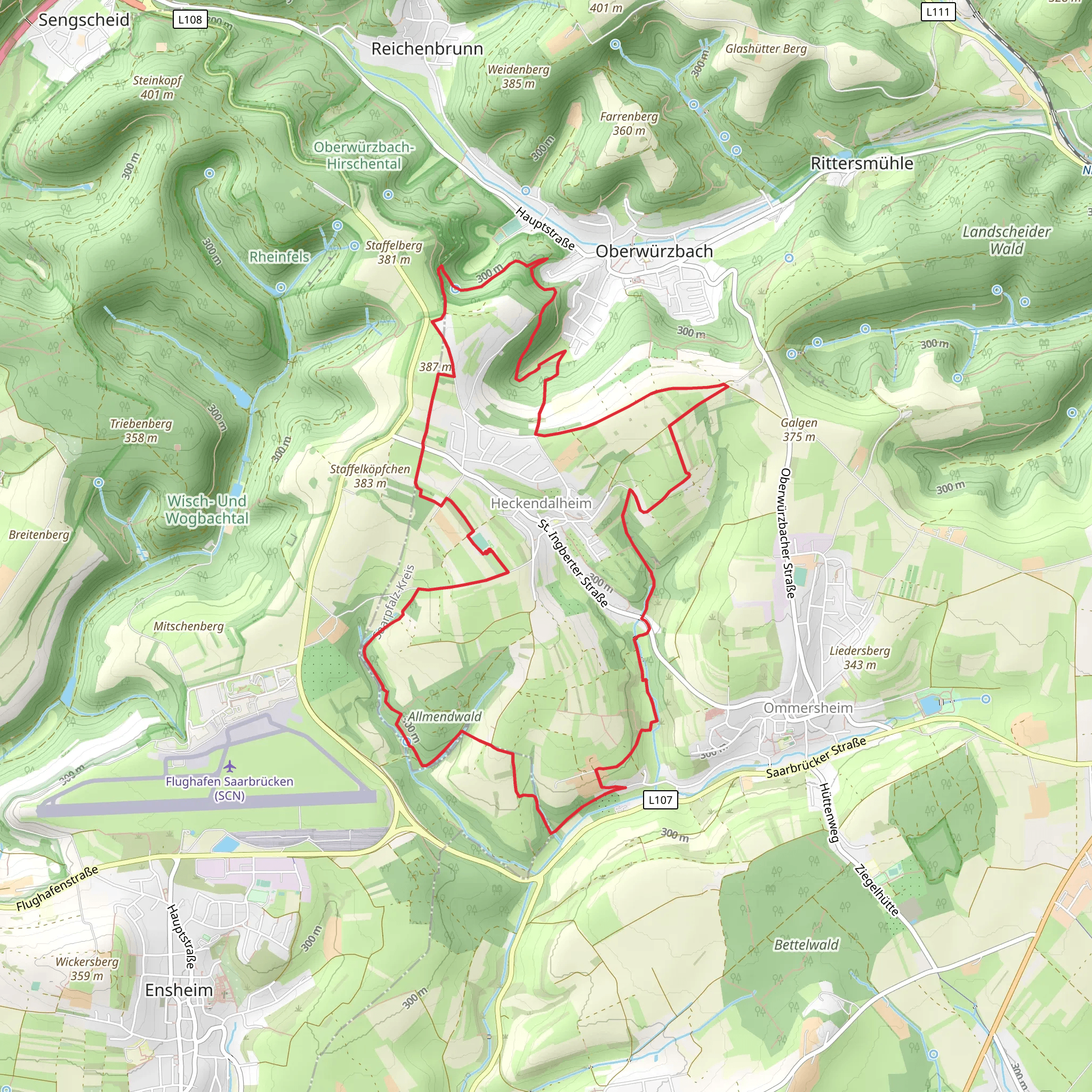
Starting near Saarpfalz-Kreis, Germany, the Heckendalheim Loop is a captivating 13 km (8 miles) trail with an elevation gain of around 300 meters (984 feet). This loop trail is rated as medium difficulty, making it suitable for moderately experienced hikers.
Getting There To reach the trailhead, you can drive or use public transport. If driving, set your GPS to the nearest significant landmark, which is the town of Heckendalheim. There is ample parking available near the trailhead. For those using public transport, take a train to the nearest major station in Saarbrücken and then a local bus to Heckendalheim. The bus services are frequent and reliable, making it convenient for hikers without a car.
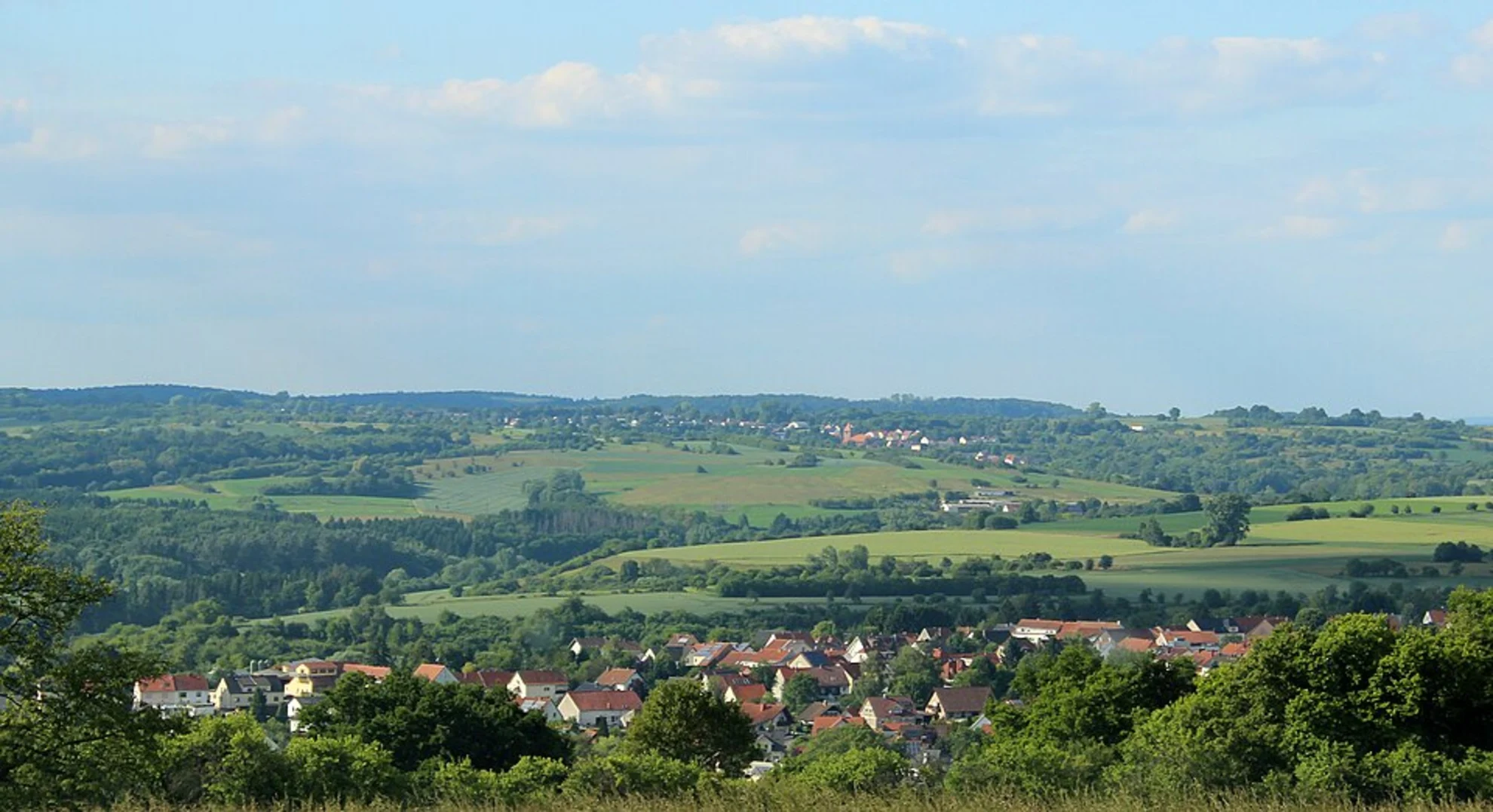
Trail Overview The trail begins near the outskirts of Heckendalheim and quickly immerses you in the serene beauty of the Saarpfalz-Kreis region. The initial section is relatively flat, allowing you to ease into the hike. As you progress, the trail starts to ascend gently, offering panoramic views of the surrounding countryside.
Nature and Wildlife The Heckendalheim Loop is rich in biodiversity. The trail meanders through dense forests, open meadows, and along picturesque streams. Keep an eye out for local wildlife such as deer, foxes, and a variety of bird species. The flora is equally impressive, with seasonal wildflowers adding a splash of color to the landscape.
Significant Landmarks Around the 4 km (2.5 miles) mark, you'll come across the historic Heckendalheim Church, a beautiful structure dating back to the 12th century. This church is a significant landmark and offers a glimpse into the region's rich history. Continuing on, at approximately 7 km (4.3 miles), you'll encounter the Heckendalheim Quarry, an old sandstone quarry that has been reclaimed by nature. This spot is perfect for a short break and some photography.
Elevation and Terrain The trail's elevation gain is gradual but steady. The most challenging section is around the 9 km (5.6 miles) point, where the trail ascends more steeply for about 1 km (0.6 miles). This part requires a bit more effort but rewards you with stunning views from the top. The terrain varies from well-trodden paths to rocky sections, so sturdy hiking boots are recommended.
Navigation While the trail is well-marked, it's always a good idea to have a reliable navigation tool. HiiKER is an excellent app for this purpose, providing detailed maps and real-time location tracking to ensure you stay on course.
Historical Significance The Saarpfalz-Kreis region has a rich history, and the Heckendalheim Loop offers glimpses into its past. The area was once a significant center for sandstone quarrying, and remnants of this industry can still be seen along the trail. Additionally, the region played a role in various historical events, including the Franco-Prussian War and World War II, adding a layer of historical intrigue to your hike.
Final Stretch The final section of the trail descends gradually back towards Heckendalheim, passing through more open meadows and offering a peaceful end to your hike. As you approach the trailhead, you'll have a chance to reflect on the diverse landscapes and historical landmarks you've encountered along the way.
This trail offers a perfect blend of natural beauty, moderate challenge, and historical significance, making it a rewarding experience for any hiker.
What to expect?
Activity types
Comments and Reviews
User comments, reviews and discussions about the Heckendalheim Loop, Germany.
4.8
average rating out of 5
5 rating(s)

