Rudolstadt to Kulm via Lutherweg Thueringen
8.7 km
~2 hrs 18 min
345 m
“Embark on a 9 km adventure through lush forests and historical sites from Rudolstadt to Kulm.”
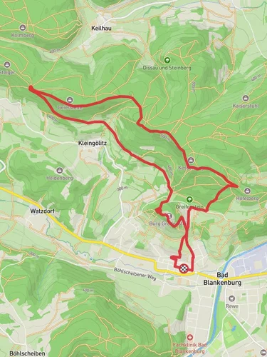
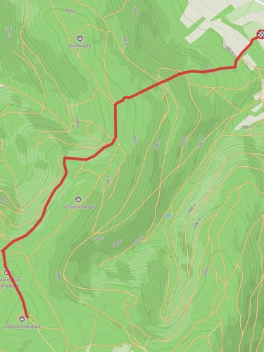
Starting near Saalfeld-Rudolstadt, Germany, the trail from Rudolstadt to Kulm via Lutherweg Thueringen offers a delightful 9 km (approximately 5.6 miles) journey with an elevation gain of around 300 meters (984 feet). This point-to-point trail is rated as medium difficulty, making it suitable for moderately experienced hikers.
### Getting There To reach the trailhead, you can take a train to Saalfeld-Rudolstadt, which is well-connected by regional trains. From the train station, local buses or a short taxi ride will bring you to the starting point. If you prefer to drive, there are parking facilities available near the trailhead.
### Trail Overview The trail begins near the picturesque town of Rudolstadt, known for its charming architecture and historical significance. As you set off, you'll quickly find yourself immersed in the lush Thuringian Forest, a region celebrated for its dense woodlands and diverse wildlife.
### Key Landmarks and Points of Interest - Heidecksburg Castle: Shortly after starting, you'll pass near the Heidecksburg Castle, a stunning baroque palace that offers panoramic views of the surrounding area. It's worth taking a brief detour to explore the castle grounds. - Lutherweg Thueringen: This trail is part of the larger Lutherweg network, which commemorates the travels of Martin Luther. Along the way, you'll encounter several informational plaques detailing Luther's influence in the region. - Thuringian Forest: As you ascend, the trail meanders through dense forests, offering a serene environment filled with the sounds of birds and rustling leaves. Keep an eye out for local wildlife such as deer and various bird species.
### Elevation and Terrain The trail features a steady climb, with the most significant elevation gain occurring in the first half of the hike. The path is well-marked but can be rocky and uneven in places, so sturdy hiking boots are recommended. The total elevation gain is around 300 meters (984 feet), providing a moderate challenge without being overly strenuous.
### Navigation For navigation, it's advisable to use the HiiKER app, which provides detailed maps and real-time updates to ensure you stay on track. The trail is well-signposted, but having a reliable navigation tool can enhance your hiking experience.
### Historical Significance This region is steeped in history, particularly related to Martin Luther and the Reformation. The Lutherweg Thueringen trail is a tribute to his journeys and the profound impact he had on the area. As you hike, you'll pass several historical markers and sites that offer a glimpse into the past.
### Final Stretch to Kulm The final stretch of the trail leads you to the small village of Kulm. Here, you can relax and enjoy the local hospitality, perhaps sampling some traditional Thuringian cuisine. Public transport options are available in Kulm for your return journey, or you can arrange for a pickup if you drove to the trailhead.
This hike offers a perfect blend of natural beauty, historical intrigue, and moderate physical challenge, making it a rewarding experience for those who undertake it.
Reviews
User comments, reviews and discussions about the Rudolstadt to Kulm via Lutherweg Thueringen, Germany.
0.0
average rating out of 5
0 rating(s)


